Baker Street

Settlement in Essex

England

Baker Street

Baker Street, Thurrock Passing underneath the A13
Baker Street, Thurrock Credit: David Howard

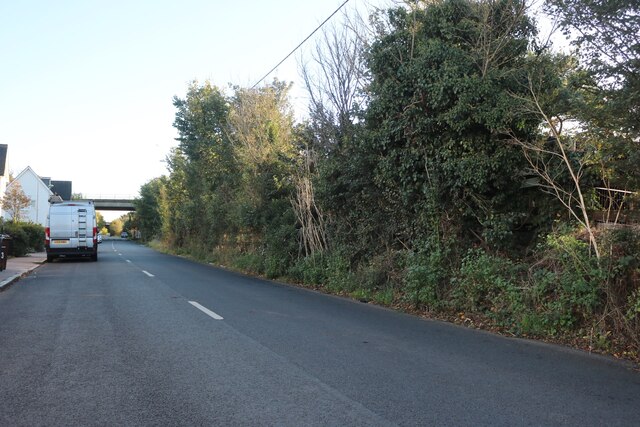
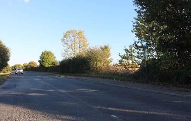
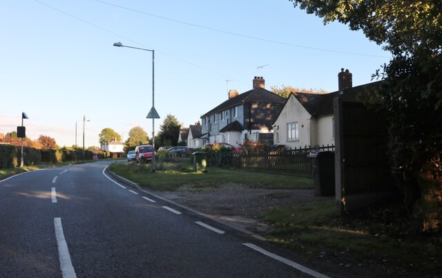
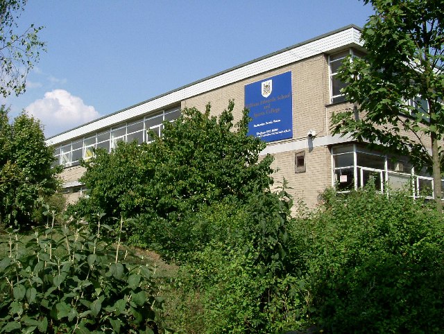
Baker Street is a charming residential area located in Essex, England. Situated within the larger town of Chelmsford, Baker Street is known for its peaceful atmosphere and close-knit community. The street itself is a tree-lined road, lined with a mix of Victorian and modern houses, creating an aesthetically pleasing environment.

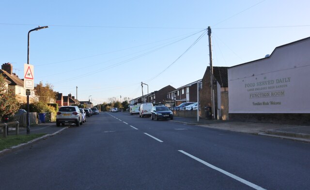
The area offers a range of amenities and services for residents. A variety of shops, including convenience stores, boutiques, and local businesses, can be found along Baker Street, providing locals with easy access to everyday necessities. Additionally, there are several cafes, pubs, and restaurants that offer a diverse range of dining options, from traditional British cuisine to international flavors.

Baker Street is also well-served by transportation links. The nearby Chelmsford train station provides regular services to London and other major cities, making it an ideal location for commuters. For those who prefer to drive, the A12 road is easily accessible, connecting residents to the wider area.

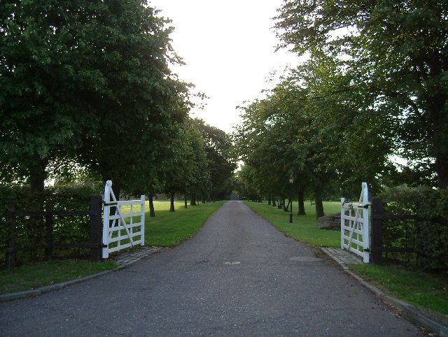
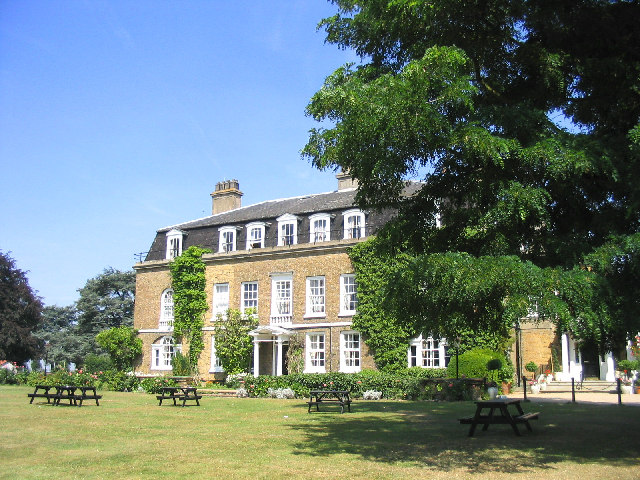
The area benefits from its proximity to several green spaces, including Hylands Park and the Chelmer and Blackwater Navigation canal. These provide opportunities for outdoor activities such as walking, jogging, and picnicking. Additionally, Baker Street is within reach of several schools, making it an attractive location for families.

Overall, Baker Street offers a pleasant and convenient place to live, with its picturesque surroundings, local amenities, and excellent transport links.

If you have any feedback on the listing, please let us know in the comments section below.
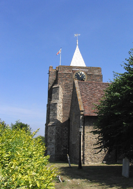
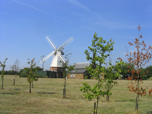
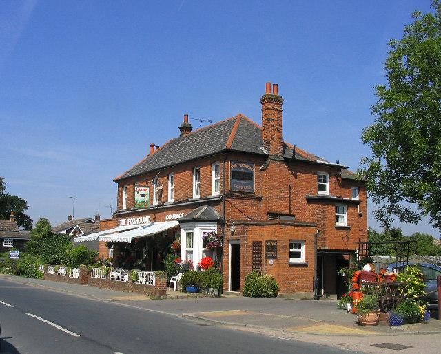
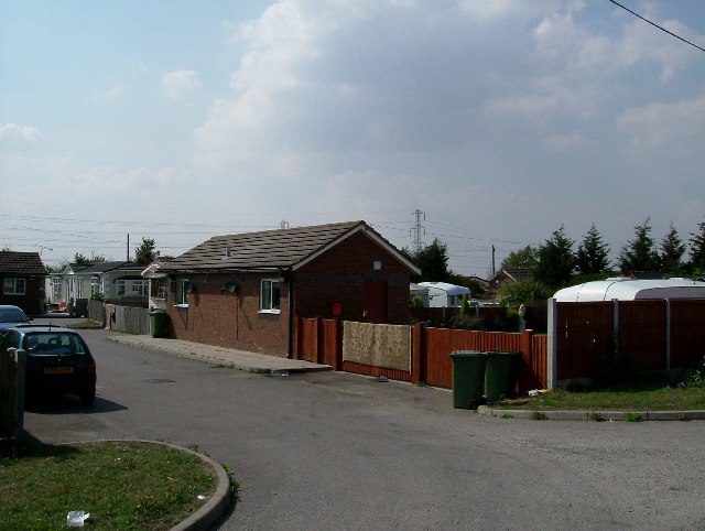
Baker Street Images

Images are sourced within 2km of 51.507826/0.353128 or Grid Reference TQ6381. Thanks to Geograph Open Source API. All images are credited.

Baker Street, Thurrock Passing underneath the A13
Baker Street, Thurrock
Passing underneath the A13
Stanford Road, Thurrock
Stifford Clays Road near Thurrock
Stifford Clays Road, Baker Street
Baker Street, Baker Street One of many villages named after a road with many more after pubs.
Baker Street, Baker Street
One of many villages named after a road with many more after pubs.
The Village Post Office, Orsett, Essex
Orsett Church, Orsett, Essex St. Giles and All Saints C of E church
Orsett Church, Orsett, Essex
St. Giles and All Saints C of E church
Maltings Cottages, Maltings Lane, Orsett, Essex A perfectly preserved row of Victorian workmen's cottages.
Maltings Cottages, Maltings Lane, Orsett, Essex
A perfectly preserved row of Victorian workmen's cottages.
Orsett Windmill, Bakers Lane, Orsett, Essex Nicely preserved and now a private residence.
Orsett Windmill, Bakers Lane, Orsett, Essex
Nicely preserved and now a private residence.
Oil Seed rape field, Orsett Fen, Essex Looking north towards the fen.
Oil Seed rape field, Orsett Fen, Essex
Looking north towards the fen.
Private road to Cherry Orchard Farm, Orsett, Essex
The Foxhounds Public House, Orsett, Essex
"Bill & Ben" at the Foxhounds PH, Orsett, Essex Not quite sure the purpose but throughout the village were life size models of various TV characters.
"Bill & Ben" at the Foxhounds PH, Orsett, Essex
Not quite sure the purpose but throughout the village were life size models of various TV characters.
Princess Diana memorial garden, Orsett, Essex -
Princess Diana memorial garden, Orsett, Essex
-
Travellers Rest Thurrock has three permanent traveller sites like this one.
Travellers Rest
Thurrock has three permanent traveller sites like this one.
William Edwards School & Sports College The school opened in 1962 Romano-British remains were uncovered during the construction
William Edwards School & Sports College
The school opened in 1962 Romano-British remains were uncovered during the construction
Boundary Ditch The fence is there to save you falling into a rather unprepossing bramble covered ditch whose claim to fame is that it marks a borough constituency boundary.
Boundary Ditch
The fence is there to save you falling into a rather unprepossing bramble covered ditch whose claim to fame is that it marks a borough constituency boundary.
Drive to Heath Place This is the tree-lined drive to Heath Place located off Hornsby Lane between Orsett Heath and  the A1013
Drive to Heath Place
This is the tree-lined drive to Heath Place located off Hornsby Lane between Orsett Heath and the A1013
Show me another place!

Baker Street is located at Grid Ref: TQ6381 (Lat: 51.507826, Lng: 0.353128)

Unitary Authority: Thurrock

Police Authority: Essex

What 3 Words

///equal.dinner.brick. Near Orsett, Essex

Nearby Locations

Baker Street

Related Wikis

Nearby Amenities

Located within 500m of 51.507826,0.353128
Pub
The Kings Head
Lat/Long: 51.5077453/0.352999
Foxhounds Riding Stables
Created By: Potlatch 0.5d
Sport: equestrian
Lat/Long: 51.5049728/0.3548217
Post Box
Operator: Royal Mail
Post Box Type: pillar
Ref: RM16 20
Royal Cypher: EIIR
Royal Cypher Wikidata: Q33102113
Lat/Long: 51.5078093/0.3533067
Booth: K6
Removed Amenity: telephone
Lat/Long: 51.5080116/0.3533546
Bus Stop
Kings Arms
Bus: yes
Naptan AtcoCode: 1590030801
Naptan Bearing: N
Naptan CommonName: Kings Arms
Naptan Indicator: Northbound
Naptan Landmark: High Road
Naptan NaptanCode: thuaptp
Naptan Street: Baker Street
Naptan Verified: no
Public Transport: platform
Source: naptan_import
Lat/Long: 51.5076703/0.3531201
Bus Stop
Kings Arms
Bus: yes
Naptan AtcoCode: 1590030901
Naptan Bearing: S
Naptan CommonName: Kings Arms
Naptan Indicator: Southbound
Naptan Landmark: High Road
Naptan NaptanCode: thudjtj
Naptan Street: Baker Street
Naptan Verified: no
Public Transport: platform
Source: naptan_import
Lat/Long: 51.5074857/0.3533556
Bus Stop
High Road
Bus: yes
Naptan AtcoCode: 1590031001
Naptan Bearing: W
Naptan CommonName: High Road
Naptan Indicator: Westbound
Naptan Landmark: Baker Street
Naptan NaptanCode: thuaptw
Naptan Street: High Road
Naptan Verified: no
Public Transport: platform
Source: naptan_import
Lat/Long: 51.508413/0.3551672
Bus Stop
High Road
Bus: yes
Naptan AtcoCode: 1590031101
Naptan Bearing: E
Naptan CommonName: High Road
Naptan Indicator: Eastbound
Naptan Landmark: Baker Street
Naptan NaptanCode: thuapwa
Naptan Street: High Road
Naptan Verified: no
Public Transport: platform
Source: naptan_import
Lat/Long: 51.5084575/0.354674
Power: pole
Lat/Long: 51.506573/0.348082
Power: pole
Lat/Long: 51.5058726/0.3484484
Power: pole
Lat/Long: 51.5072591/0.3477145
Street Lamp
Lamp Model: Philips MA60
Lamp Type: SOX
Source: Bing
Lat/Long: 51.5034487/0.3523445
Street Lamp
Lamp Model: Philips MA60
Lamp Type: SOX
Source: Bing
Lat/Long: 51.5037617/0.3520534
Street Lamp
Lamp Model: Philips MA60
Lamp Type: SOX
Source: Bing
Lat/Long: 51.5040397/0.3517356
Street Lamp
Lamp Model: Philips MA60
Lamp Type: SOX
Source: Bing
Lat/Long: 51.5043235/0.3513038
Street Lamp
Lamp Model: Philips MA60
Lamp Type: SOX
Source: Bing
Lat/Long: 51.504488/0.3509873
Street Lamp
Lamp Model: Philips MA60
Lamp Type: SOX
Source: Bing
Lat/Long: 51.5046232/0.3506667
Street Lamp
Lamp Model: Philips MA60
Lamp Type: SOX
Source: Bing
Lat/Long: 51.5047359/0.3503181
Street Lamp
Lamp Model: Philips MA60
Lamp Type: SOX
Source: Bing
Lat/Long: 51.5048286/0.3499358
Street Lamp
Lamp Model: Philips MA60
Lamp Type: SOX
Source: Bing
Lat/Long: 51.5048937/0.3496086
Street Lamp
Lamp Model: Philips MA60
Lamp Type: SOX
Source: Bing
Lat/Long: 51.5049329/0.3492841
Street Lamp
Lamp Model: Philips MA60
Lamp Type: SOX
Source: Bing
Lat/Long: 51.5049538/0.3489381
Street Lamp
Lamp Model: Philips MA60
Lamp Type: SOX
Source: Bing
Lat/Long: 51.5049596/0.3486149
Street Lamp
Lamp Model: Philips MA60
Lamp Type: SOX
Source: Bing
Lat/Long: 51.5049479/0.3483735
Street Lamp
Lamp Model: Philips MA60
Lamp Type: SOX
Source: Bing
Lat/Long: 51.5049162/0.3481495
Street Lamp
Lamp Model: Philips MA60
Lamp Type: SOX
Source: Bing
Lat/Long: 51.5048352/0.3478558
Street Lamp
Lamp Model: Philips MA60
Lamp Type: SOX
Source: Bing
Lat/Long: 51.5050756/0.3482943
Street Lamp
Lamp Model: Philips MA60
Lamp Type: SOX
Source: Bing
Lat/Long: 51.5050314/0.3478048
Power: substation
Lat/Long: 51.5081052/0.3533806
Give Way
Direction: backward
Lat/Long: 51.5078394/0.3531673
Information: guidepost
Tourism: information
Lat/Long: 51.507807/0.3533645
Bench
Lat/Long: 51.5077558/0.3533395
Baker Street
Place: neighbourhood
Lat/Long: 51.5078643/0.353342
The data included in this document is from www.openstreetmap.org. The data is made available under ODbL.

Have you been to Baker Street?

Leave your review of Baker Street below (or comments, questions and feedback).