Bonnybank
Settlement in Fife
Scotland
Bonnybank
Bonnybank is a small village located in the county of Fife, Scotland. Situated approximately 8 miles west of the town of Dunfermline, Bonnybank is nestled within the picturesque landscape of the countryside. With a population of around 1,000 residents, the village offers a tranquil and close-knit community atmosphere.
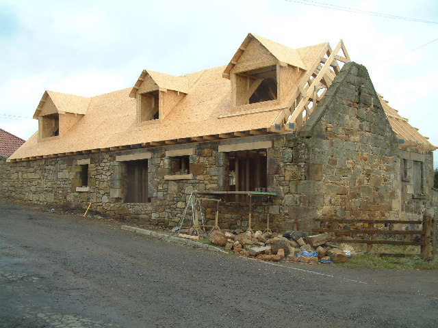
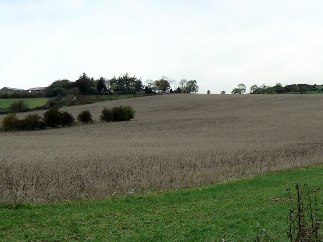
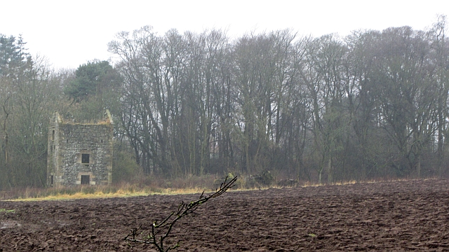
The village of Bonnybank boasts a rich history that dates back several centuries. Originally an agricultural settlement, it has evolved over the years into a residential area, while still maintaining its rural charm. The architecture in Bonnybank is predominantly traditional, with a mix of stone-built cottages and more modern housing developments.
Despite its small size, Bonnybank offers a range of amenities to its residents. The village is home to a primary school, providing education for local children, and a community center that serves as a hub for various activities and events. Additionally, there is a local convenience store for everyday needs, and a pub where residents can socialize and unwind.
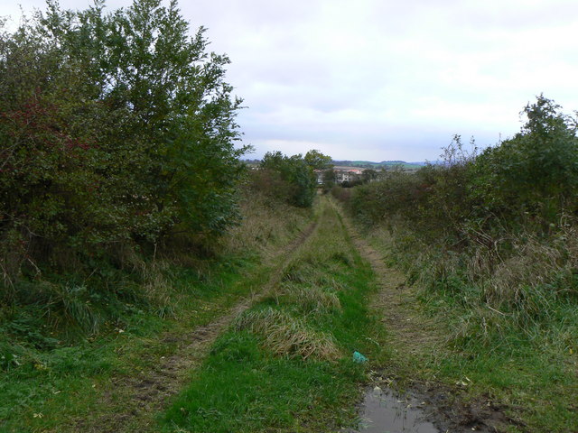
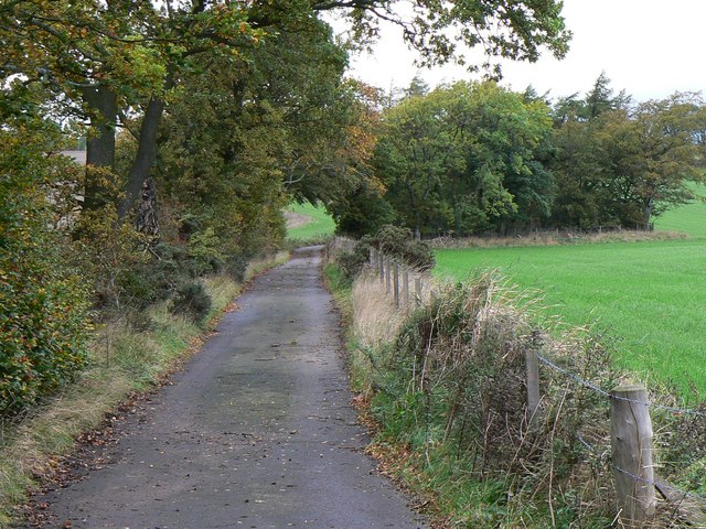
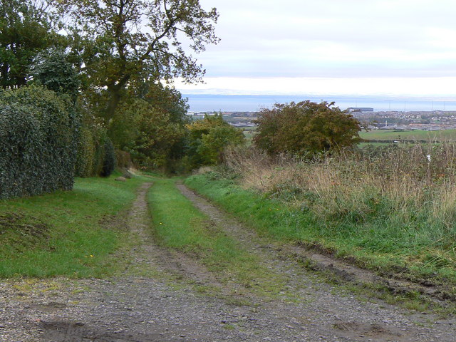
The surrounding countryside provides ample opportunities for outdoor activities, with walking and cycling trails accessible from the village. Bonnybank is also well-connected to neighboring towns and cities, making it a convenient base for commuters.
In conclusion, Bonnybank is a charming village in Fife, Scotland, offering a peaceful and tight-knit community. With its rich history, beautiful countryside, and range of amenities, it provides a delightful place to call home for its residents.
If you have any feedback on the listing, please let us know in the comments section below.
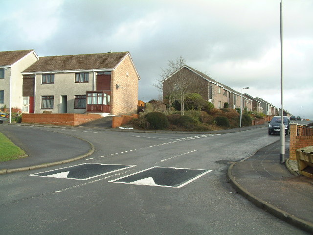
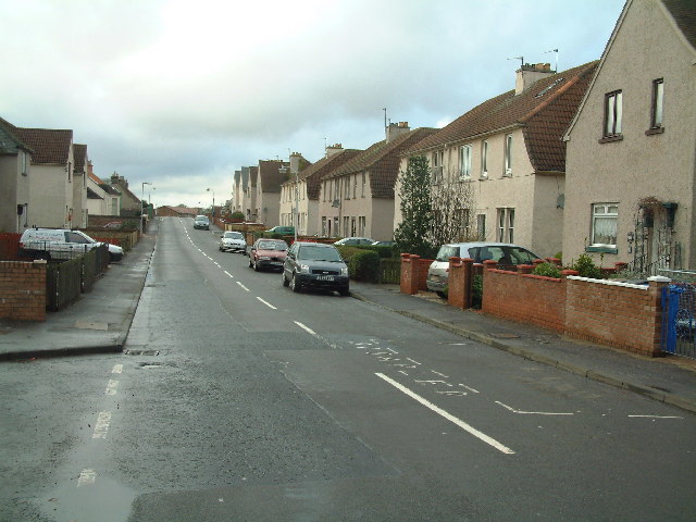
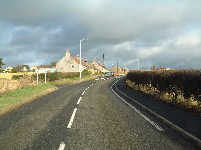
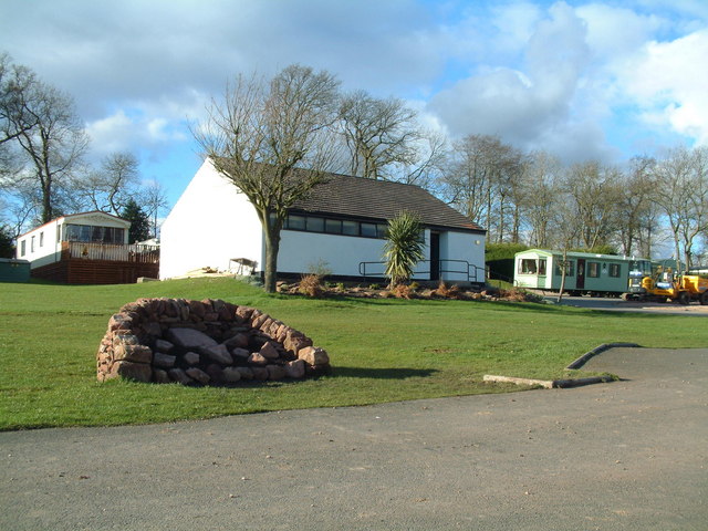
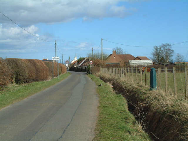
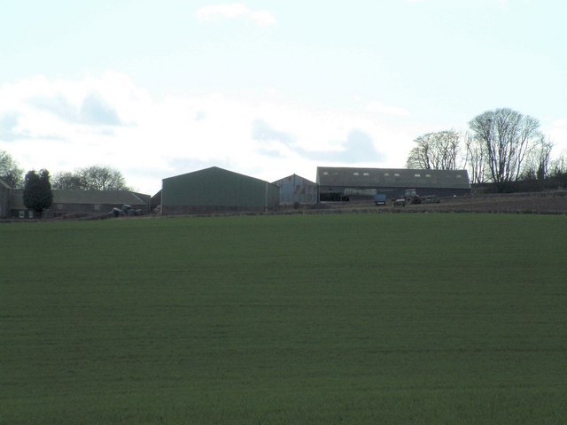
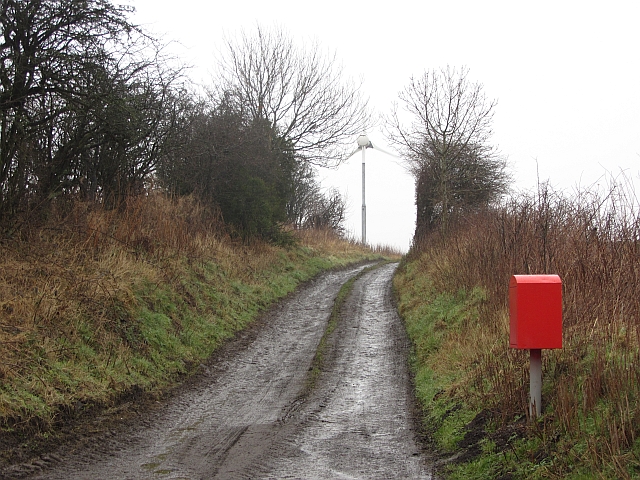
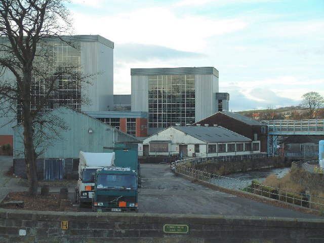
Bonnybank Images
Images are sourced within 2km of 56.219837/-3.040415 or Grid Reference NO3503. Thanks to Geograph Open Source API. All images are credited.


Bonnybank is located at Grid Ref: NO3503 (Lat: 56.219837, Lng: -3.040415)
Unitary Authority: Fife
Police Authority: Fife
What 3 Words
///perfume.aliens.crackled. Near Kennoway, Fife
Related Wikis

Bonnybank
Bonnybank is a small village in the Levenmouth area of Fife, approximately 2 miles north of Leven and situated on the main road (the A916) between Kennoway...

Baintown
Baintown is a hamlet located in Fife, a council area of Scotland, UK.

Kennoway
Kennoway is a village in Fife, Scotland, near the larger population centres in the area of Leven and Methil. It had an estimated population of 4,570 in...
Balcurvie
Balcurvie is a Scottish rural hamlet located within the Windygates district of Levenmouth in Fife. People from Balcurvie include Sir Robert Blyth Greig...
East Fife G.W.F.C.
East Fife Girls and Women's Football Club are a Scottish women's football team based in the Fife coastal town of Leven. The team, established in 2000,...
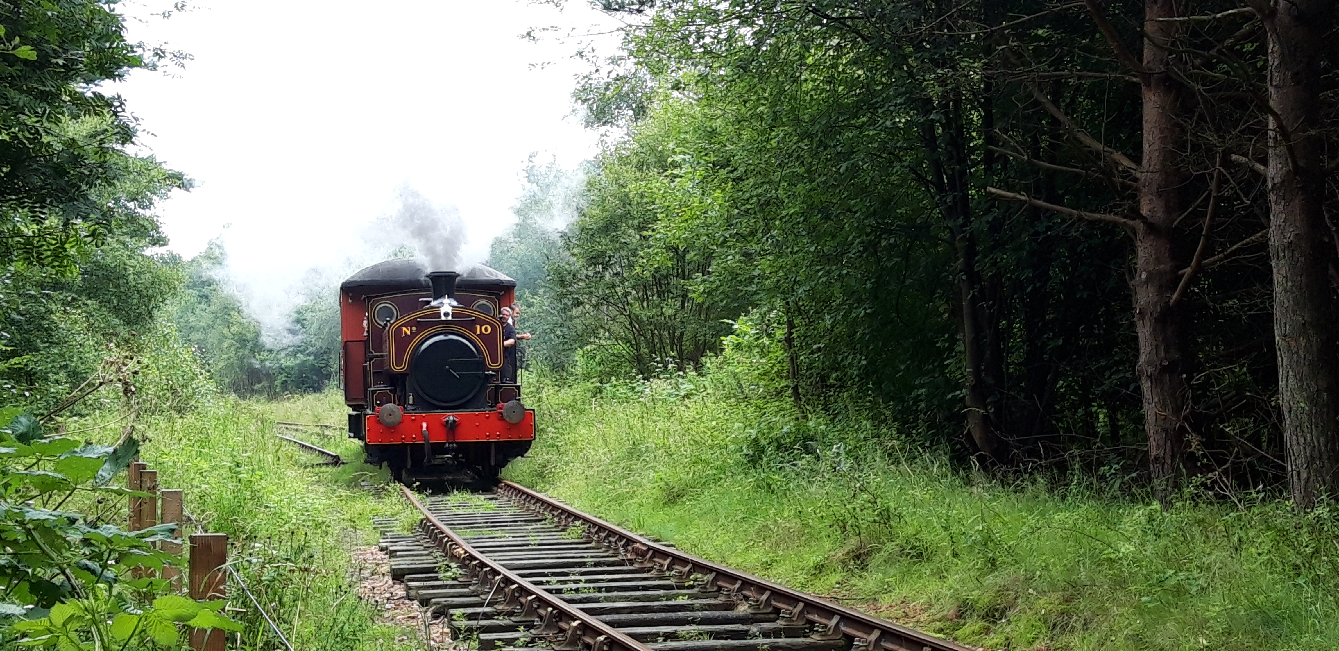
Fife Heritage Railway
Fife Heritage Railway is a heritage railway run by The Kingdom of Fife Railway Preservation Society, formed in 1992, which aims to showcase the heritage...
Windygates
Windygates is a small village and surrounding district in central Fife, Scotland. The district encompasses the following villages, farms and estates; Wellsgreen...
Levenmouth
Levenmouth is a conurbation comprising a network of settlements on the north side of the Firth of Forth, in Fife on the east coast of Scotland. It consists...
Related Videos
Summer Road Trip Drive On History Visit To Kennoway Fife Scotland
Tour Scotland Summer travel video, with Scottish bagpipes and drums music, from Leven on ancestry, genealogy, history visit to ...

Шотландия елінде сезондық жұмыс. Работа в англий. Казахи в англий.
Шотландия елінде 1 табуға болама? @Kuanysh_Sarkenov instagram қызықтың бәрі осында ...
Footage of my dog not been able to walk on it’s back legs
My Pomeranian has a slip disk on it's spine so it can't walk on it's back legs.

"Fear Not" - bible study PT 1 - Fraser Munro
Fraser Munro from Kennoway explains from the Bible, why Christians should "Fear Not" when walking with the Lord Jesus in our ...
Nearby Amenities
Located within 500m of 56.219837,-3.040415Have you been to Bonnybank?
Leave your review of Bonnybank below (or comments, questions and feedback).