Bonnington Smiddy

Settlement in Angus

Scotland

Bonnington Smiddy

Greenford Hilltop arable land on the eastern tail of the Sidlaw Hills.
Greenford Credit: Richard Webb

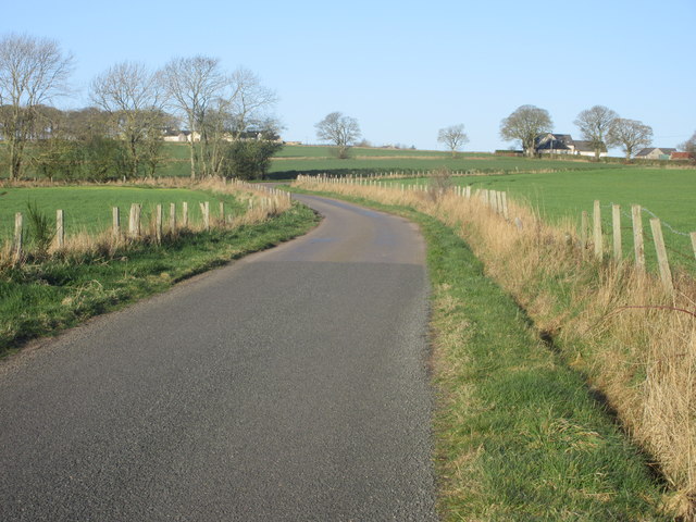
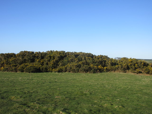
Bonnington Smiddy is a small village located in the Angus region of Scotland. Situated along the banks of the River Isla, it is known for its picturesque beauty and rich historical significance. The village is surrounded by rolling hills and lush green landscapes, providing a tranquil and serene atmosphere for residents and visitors alike.

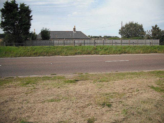
Bonnington Smiddy has a population of approximately 300 people, making it a close-knit community where everyone knows each other. The village boasts a charming traditional architecture, with stone cottages and buildings that have been well-preserved over the years.

One of the main attractions in Bonnington Smiddy is its historic smiddy, or blacksmith's forge, which dates back to the early 19th century. The smiddy played a vital role in the village's development, serving as a hub for blacksmithing and metalworking activities. Today, it stands as a testament to the village's industrial heritage and offers visitors a glimpse into the past.

In addition to its historical significance, Bonnington Smiddy is also known for its outdoor recreational opportunities. The surrounding countryside provides ample opportunities for hiking, cycling, and fishing, attracting nature enthusiasts from far and wide. The nearby River Isla is a popular spot for anglers, known for its abundant salmon and trout.

Overall, Bonnington Smiddy is a charming and idyllic village that offers a blend of history, natural beauty, and a close-knit community. It is a hidden gem in the Angus region, offering a peaceful retreat for those seeking a slower pace of life or a glimpse into Scotland's rich heritage.

If you have any feedback on the listing, please let us know in the comments section below.

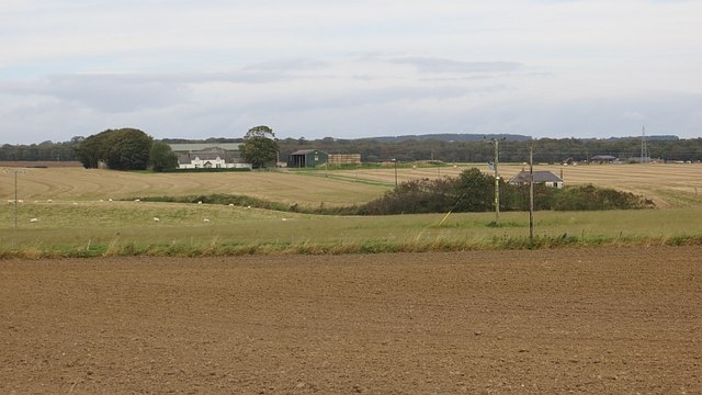
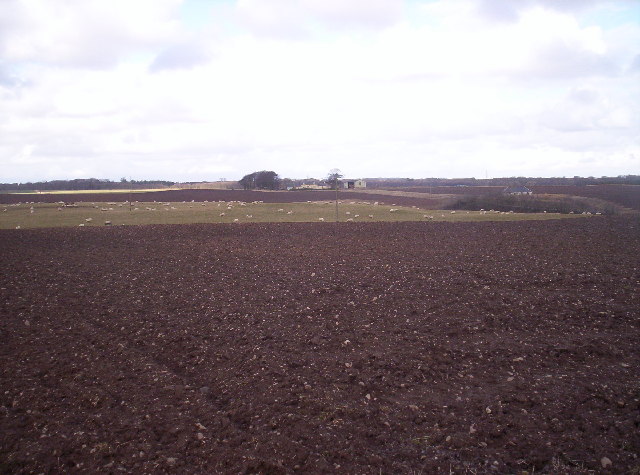
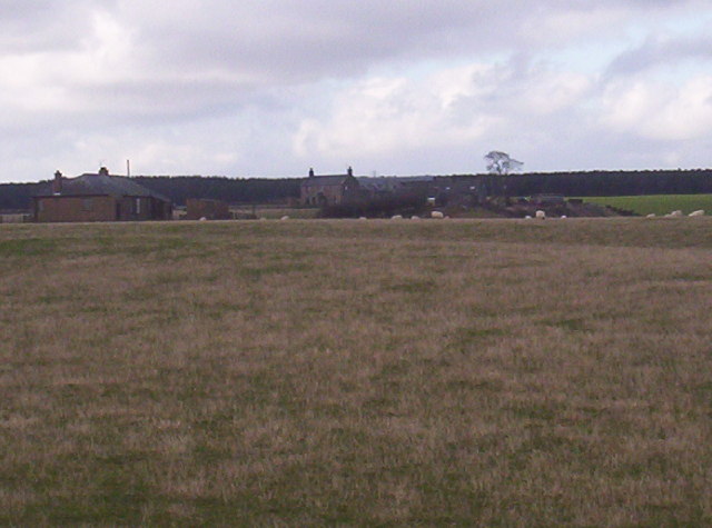
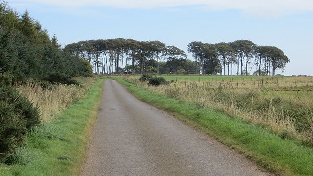
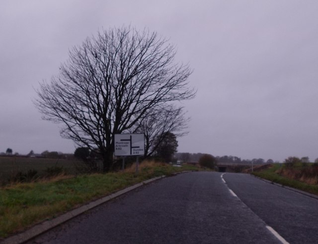
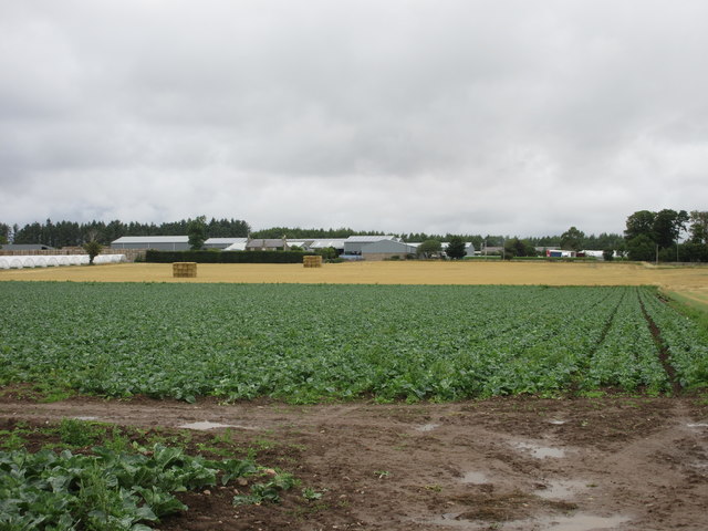
Bonnington Smiddy Images

Images are sourced within 2km of 56.541023/-2.7008493 or Grid Reference NO5739. Thanks to Geograph Open Source API. All images are credited.

Greenford Hilltop arable land on the eastern tail of the Sidlaw Hills.
Greenford
Hilltop arable land on the eastern tail of the Sidlaw Hills.
Balbinnie A minor road alongside Balbinnie Wood.
Balbinnie
A minor road alongside Balbinnie Wood.
Approaching A92 underpass at Salmond's Muir On minor road from East Haven.
Approaching A92 underpass at Salmond's Muir
On minor road from East Haven.
A92 underpass at Salmond's Muir On minor road from East Haven.
A92 underpass at Salmond's Muir
On minor road from East Haven.
Winter cereals, West Balmirmer
Auchrennie Farm The farm at Auchrennie viewed from the old A92 road west of Muirdrum.
Auchrennie Farm
The farm at Auchrennie viewed from the old A92 road west of Muirdrum.
Field at West Balmirmer Ploughed field at West Balmirmer, looking southwards towards Carnoustie and the coast.
Field at West Balmirmer
Ploughed field at West Balmirmer, looking southwards towards Carnoustie and the coast.
Copse near Fauldiehill Copse in a field to the west of Fauldiehill.
Copse near Fauldiehill
Copse in a field to the west of Fauldiehill.
Road heading to Bonnyton Smiddy The minor road heading west, with Bonnyton Smiddy in the distance to the right.
Road heading to Bonnyton Smiddy
The minor road heading west, with Bonnyton Smiddy in the distance to the right.
Gorse on Knox Hill Gorse covered hillock on the summit area of Knox Hill. The triangulation pillar is situated within the bushes towards the centre of the photograph.
Gorse on Knox Hill
Gorse covered hillock on the summit area of Knox Hill. The triangulation pillar is situated within the bushes towards the centre of the photograph.
East Balmirmer A distant view of East Balmirmer from the A92 to the south.
East Balmirmer
A distant view of East Balmirmer from the A92 to the south.
Road from Easthaven The minor road from Easthaven heading towards the A92 junction at Salmond's Muir.
Road from Easthaven
The minor road from Easthaven heading towards the A92 junction at Salmond's Muir.
Speed limit signs at Muirdrum
Panlathy Mill
Panlathy Mill
Minor road near Panlathy
Show me another place!

Bonnington Smiddy is located at Grid Ref: NO5739 (Lat: 56.541023, Lng: -2.7008493)

Unitary Authority: Angus

Police Authority: Tayside

What 3 Words

///freely.haggle.drizzly. Near Carnoustie, Angus

Nearby Locations

Bonnington Smiddy

Related Wikis

Balmirmer

Balmirmer is a hamlet in the council area of Angus, Scotland. It is situated 2 miles (3 km) north-east of Carnoustie and 4 miles (6 km) west of Arbroath...

Salmond's Muir

Salmond's Muir is a hamlet in the council area of Angus, Scotland. It is situated 2 miles (3 km) north-east of Carnoustie and 4 miles (6 km) west of Arbroath...

Muirdrum

Muirdrum () is a small village in the council area of Angus, Scotland. It is situated at the junction of the old A92 road from Dundee to Arbroath, the...

RNAS East Haven (HMS Peewit)

Royal Naval Air Station East Haven (RNAS East Haven, also known as HMS Peewit) is a former Royal Navy, Fleet Air Arm station, situated 3 miles (5 km) south...

Nearby Amenities

Located within 500m of 56.541023,-2.7008493
Power: pole
Lat/Long: 56.5389952/-2.6940659
Power: pole
Lat/Long: 56.538994/-2.6953717
Power: pole
Lat/Long: 56.5390071/-2.6966991
Power: pole
Lat/Long: 56.5390083/-2.6978233
Power: pole
Lat/Long: 56.5390226/-2.6991356
Power: pole
Lat/Long: 56.5386662/-2.7001041
Power: pole
Lat/Long: 56.5382907/-2.7011634
Power: pole
Lat/Long: 56.5379176/-2.7022055
Power: pole
Lat/Long: 56.5375433/-2.7032346
Power: pole
Lat/Long: 56.5371595/-2.7043069
Power: pole
Lat/Long: 56.5454429/-2.7005884
Power: pole
Lat/Long: 56.545071/-2.701144
Power: pole
Lat/Long: 56.5446575/-2.7017774
Power: pole
Lat/Long: 56.5442332/-2.702413
Power: pole
Lat/Long: 56.5438303/-2.7030032
Power: pole
Lat/Long: 56.5434251/-2.7036215
Power: pole
Lat/Long: 56.5432487/-2.7046917
Power: pole
Lat/Long: 56.5430997/-2.705617
Power: pole
Lat/Long: 56.5429424/-2.7066028
Power: pole
Lat/Long: 56.5427457/-2.7075843
Power: pole
Lat/Long: 56.5428911/-2.7076232
Power: pole
Lat/Long: 56.542089/-2.7073314
Power: pole
Lat/Long: 56.5414668/-2.7071001
Power: pole
Lat/Long: 56.5409089/-2.7069012
Power: pole
Lat/Long: 56.5405514/-2.7066547
Power: pole
Lat/Long: 56.5399494/-2.7062245
Power: pole
Lat/Long: 56.5396014/-2.7059759
Power: pole
Lat/Long: 56.5389946/-2.7055694
Power: pole
Lat/Long: 56.5383581/-2.7051197
Power: pole
Lat/Long: 56.5377394/-2.7047025
The data included in this document is from www.openstreetmap.org. The data is made available under ODbL.

Have you been to Bonnington Smiddy?

Leave your review of Bonnington Smiddy below (or comments, questions and feedback).