Bone's Copse

Wood, Forest in Hampshire Winchester

England

Bone's Copse

Looking Up Bridge Street Uphill to the town centre from down by the bridge.
Looking Up Bridge Street Credit: Des Blenkinsopp

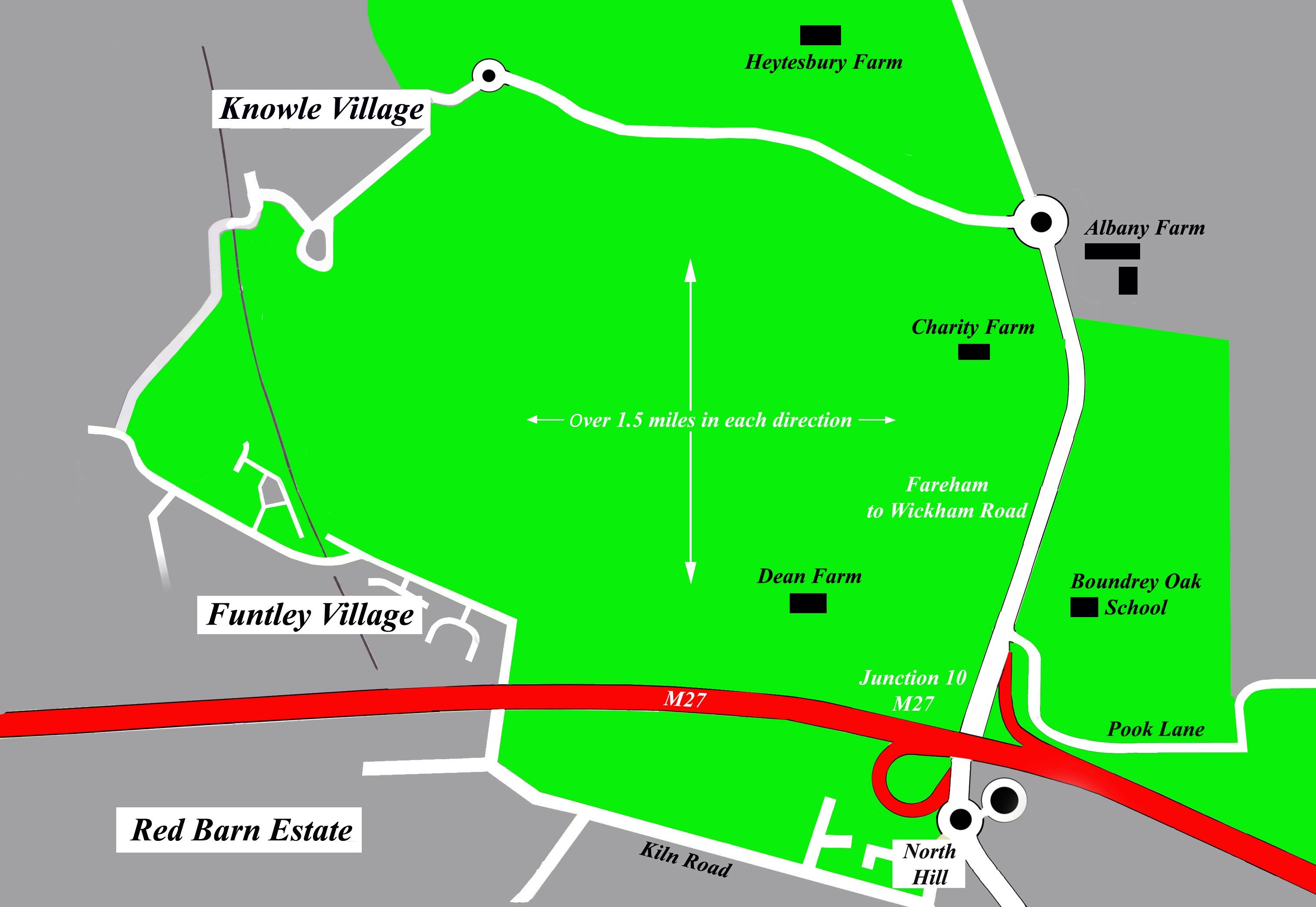
Bone's Copse is a small wooded area located in Hampshire, England. Situated near the village of Bishops Waltham, this copse covers an area of approximately 10 acres and is a popular destination for nature enthusiasts and walkers alike.

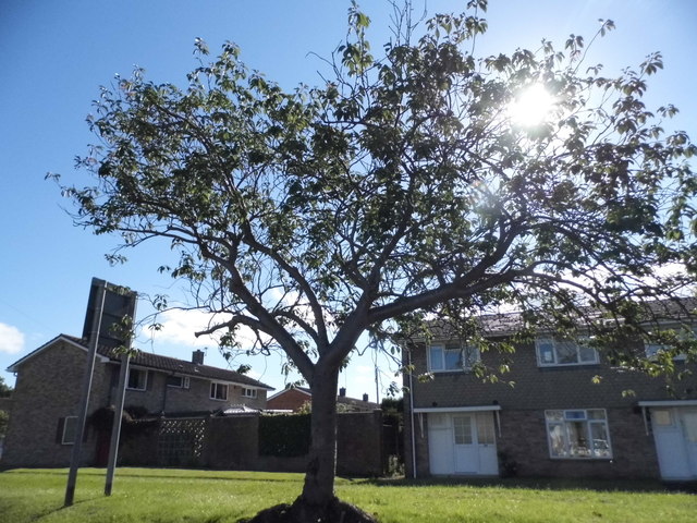
The copse is predominantly made up of deciduous trees such as oak, beech, and birch, creating a rich and diverse ecosystem. The dense vegetation provides a perfect habitat for a variety of wildlife, including small mammals, birds, and insects. It is not uncommon to spot woodland creatures such as squirrels and foxes roaming through the copse.

Walking trails wind their way through Bone's Copse, allowing visitors to explore the area at their own pace. These paths are well-maintained and offer a peaceful and tranquil escape from the hustle and bustle of everyday life. The copse is particularly enchanting during the spring and summer months when wildflowers bloom and the trees are in full leaf.

Bone's Copse is also known for its historical significance. It is believed to have played a role in World War II, with remnants of old ammunition stores still visible in some areas. This adds an interesting element to the copse, attracting history enthusiasts keen to explore the site's past.

Overall, Bone's Copse is a charming woodland area that offers a serene escape into nature. Whether it's a leisurely walk, wildlife spotting, or a desire to immerse oneself in history, this copse has something to offer for everyone.

If you have any feedback on the listing, please let us know in the comments section below.
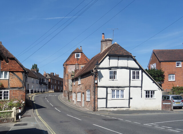
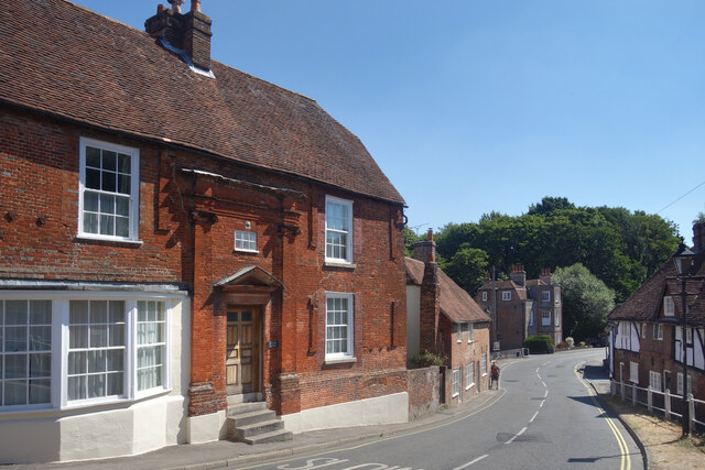
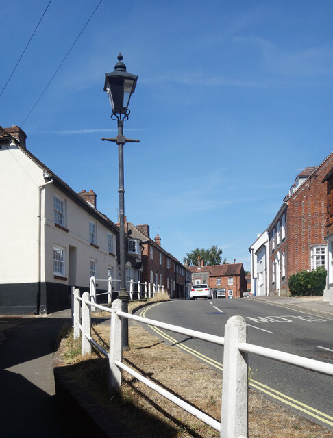
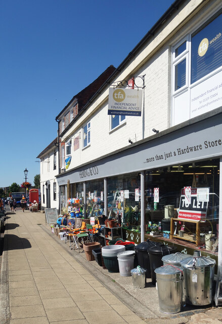
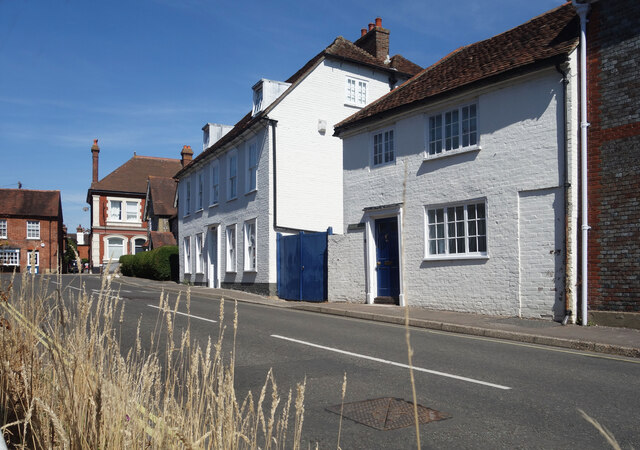
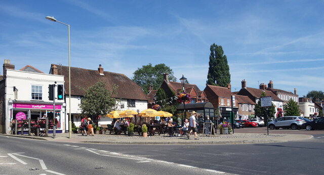
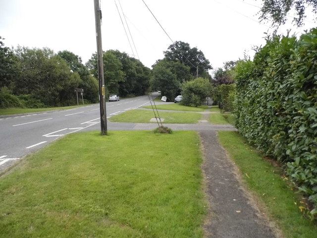
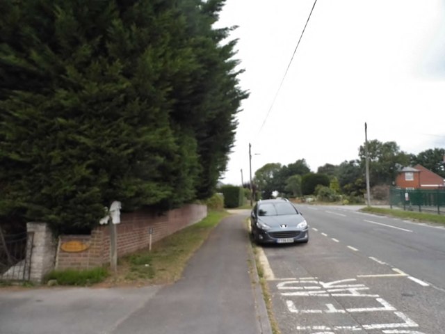
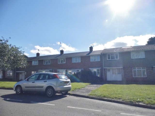
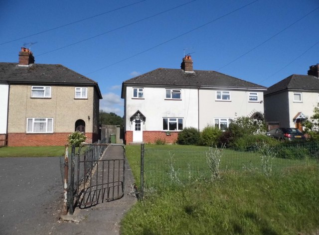
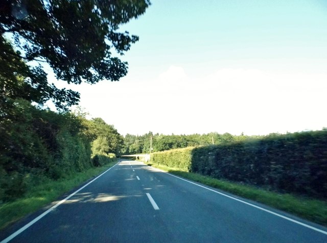
Bone's Copse Images

Images are sourced within 2km of 50.889824/-1.1732027 or Grid Reference SU5810. Thanks to Geograph Open Source API. All images are credited.

Looking Up Bridge Street Uphill to the town centre from down by the bridge.
Looking Up Bridge Street
Uphill to the town centre from down by the bridge.
Looking Down Bridge Street Towards the bridge over the River Meon.
Looking Down Bridge Street
Towards the bridge over the River Meon.
Lamp Post on Bridge Street An old style street lamp in an old style street. The glass on the left of the lamp is blacked out because it is at the same level as the upper window of a nearby house.
Lamp Post on Bridge Street
An old style street lamp in an old style street. The glass on the left of the lamp is blacked out because it is at the same level as the upper window of a nearby house.
Heming & Co's Hardware Store Bins and pots and colourful stuff on display outside a shop in Wickham town centre.
Heming & Co's Hardware Store
Bins and pots and colourful stuff on display outside a shop in Wickham town centre.
The top end of Bridge Street Bridge Street goes between the River Meon and the town centre.
The top end of Bridge Street
Bridge Street goes between the River Meon and the town centre.
Outside the pub, Wickham A sunny Saturday morning at the Square Cow pub.
Outside the pub, Wickham
A sunny Saturday morning at the Square Cow pub.
Southwick Road, North Boarhunt
The Dip Hole at Wickham Another view is at <a title="https://www.geograph.org.uk/photo/1472085" href="https://www.geograph.org.uk/photo/1472085">Link</a>.
The Dip Hole at Wickham
Another view is at Link.
Looking east on Bridge Street to the disused railway bridge There are two bridges here, the road bridge over the River Meon and the former railway bridge which now carries a bridleway.
See also <a title="https://www.geograph.org.uk/photo/1472034" href="https://www.geograph.org.uk/photo/1472034">Link</a>.
Looking east on Bridge Street to the disused railway bridge
There are two bridges here, the road bridge over the River Meon and the former railway bridge which now carries a bridleway. See also Link.
2016: a year on Geograph (Day 69) Junction of Station Road and Bridge Street
2016: a year on Geograph (Day 69)
Junction of Station Road and Bridge Street
2016: a year on Geograph (Day 82) Entrance to Mud Island Nursery
2016: a year on Geograph (Day 82)
Entrance to Mud Island Nursery
Houses on School Road, Wickham
Tree on School Road, Wickham
The A32, Wickham
The A32, Wickham
House on Bridge Street, Wickham
Heming & Co, Wickham A traditional ironmonger store
Heming & Co, Wickham
A traditional ironmonger store
Show me another place!

Bone's Copse is located at Grid Ref: SU5810 (Lat: 50.889824, Lng: -1.1732027)

Administrative County: Hampshire

District: Winchester

Police Authority: Hampshire

What 3 Words

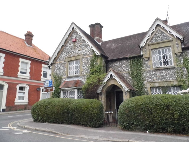
///launcher.touches.stuck. Near Wickham, Hampshire

Related Wikis

Crockerhill, Hampshire

Crockerhill is a hamlet in south Hampshire, England. The population at the 2011 Census was included in the Borough of Fareham == References == The geographic...
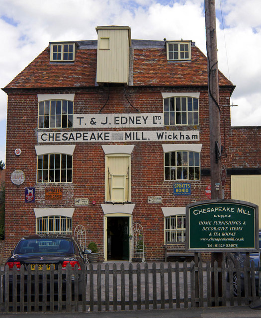
Chesapeake Mill

The Chesapeake Mill is a watermill in Wickham, Hampshire, England. The flour mill was constructed in 1820 using the timbers of HMS Chesapeake, which had...

Wickham railway station (Hampshire)

Wickham (Hants) railway station served the village of Wickham in Hampshire, England. It was on the Meon Valley line of the London and South Western Railway...

Wickham, Hampshire

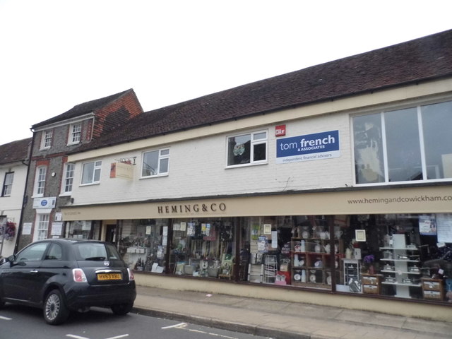
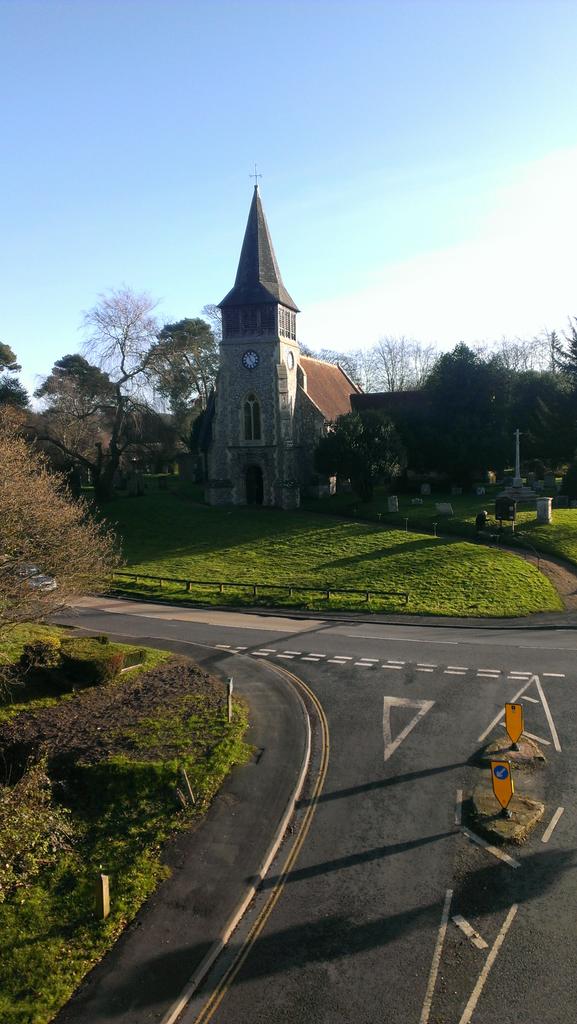
Wickham () is a large village in the civil parish of Wickham and Knowle, in the Winchester district, in the county of Hampshire, England. It is about 3...

Boarhunt

Boarhunt () is a village and civil parish in the City of Winchester district of Hampshire, England, about 2 miles (3 kilometres) north-east of Fareham...

Welborne, Hampshire

Welborne is a proposed new town to the north of Fareham, England, intended to include 6,000 houses with businesses and community facilities. A plan for...

North Boarhunt

North Boarhunt is a village in the City of Winchester district of Hampshire, England. It is in the civil parish of Boarhunt. Its nearest town is Fareham...

Knowle Hospital

Knowle Hospital, was a psychiatric hospital that was repurposed as the village of Knowle near the town of Fareham in Hampshire, southern England, which...

Nearby Amenities

Located within 500m of 50.889824,-1.1732027
Power: tower
Ref: 34
Source: interpolation
Lat/Long: 50.8934283/-1.1752678
Power: tower
Ref: 35
Source: interpolation
Lat/Long: 50.8920402/-1.1697316
The Gedge Post
Man Made: signpost
Lat/Long: 50.8883997/-1.1702815
Barrier: stile
Lat/Long: 50.8897491/-1.1668332
Crockerhill
Ele: 64
Natural: peak
Lat/Long: 50.8877514/-1.1777021
Power: pole
Source: Bing
Lat/Long: 50.8889475/-1.1719953
Power: pole
Source: Bing
Lat/Long: 50.8893509/-1.1711387
Power: pole
Source: Bing
Lat/Long: 50.8885108/-1.1727635
Power: pole
Source: Bing
Lat/Long: 50.8859279/-1.1759586
Power: pole
Source: Bing
Lat/Long: 50.8898343/-1.1702657
Power: pole
Lat/Long: 50.8867738/-1.174901
Power: pole
Lat/Long: 50.8901019/-1.1697657
Power: pole
Lat/Long: 50.8920599/-1.1677531
Power: pole
Lat/Long: 50.8913492/-1.1684072
Power: pole
Lat/Long: 50.8908411/-1.1688585
Power: pole
Lat/Long: 50.8906118/-1.1690695
The data included in this document is from www.openstreetmap.org. The data is made available under ODbL.

Have you been to Bone's Copse?

Leave your review of Bone's Copse below (or comments, questions and feedback).