Wickham Common

Settlement in Hampshire Winchester

England

Wickham Common

Looking Up Bridge Street Uphill to the town centre from down by the bridge.
Looking Up Bridge Street Credit: Des Blenkinsopp

Wickham Common is a picturesque village located in the county of Hampshire, England. Situated approximately 15 miles southeast of Southampton, it lies nestled within the beautiful Meon Valley. The village is known for its rich history, charming architecture, and stunning natural surroundings.

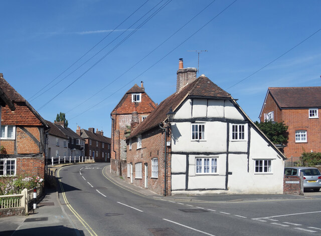
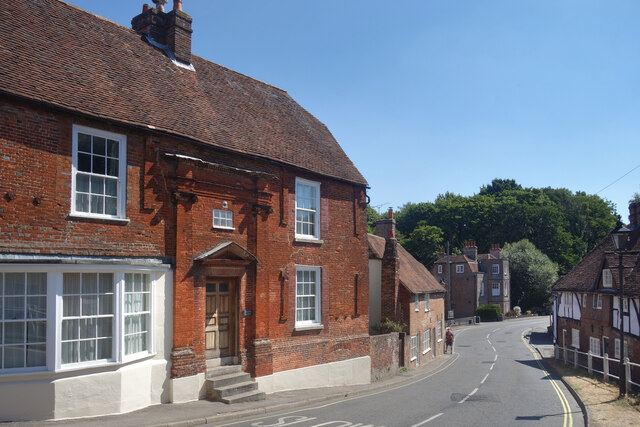
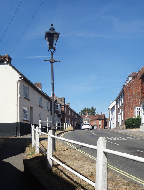
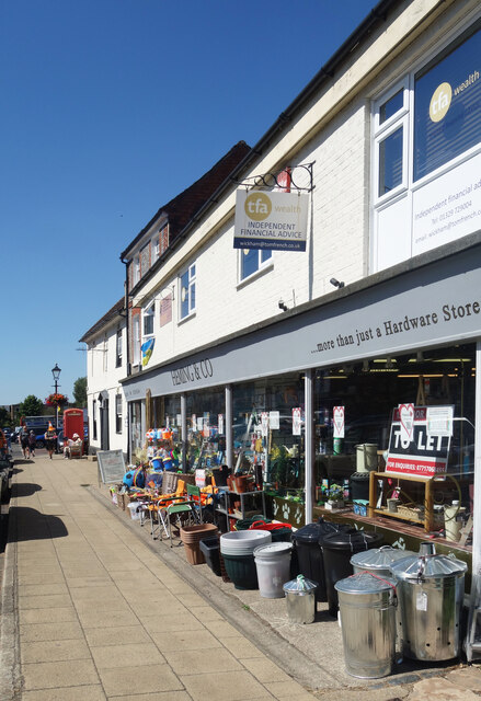
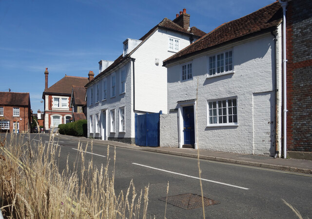
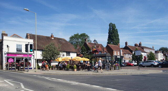
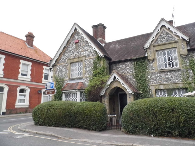
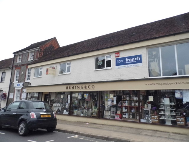
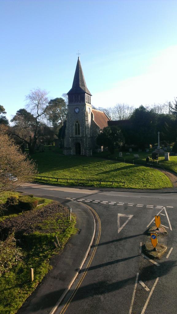
The heart of Wickham Common is its historic village square, which dates back to medieval times. With its quaint thatched cottages, traditional pubs, and independent shops, the square exudes a sense of old-world charm. The village also boasts a beautiful Norman church, St. Nicholas, which is a prominent landmark and a testament to the area's long-standing heritage.

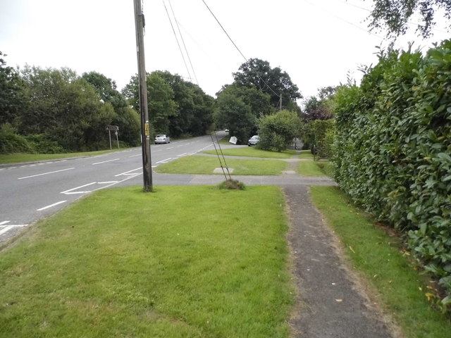
Surrounded by rolling countryside, Wickham Common offers a plethora of outdoor activities for visitors and locals alike. The area is known for its well-maintained footpaths and bridleways, making it a haven for walkers, cyclists, and horse riders. The nearby Meon Valley Trail, a former railway line, provides a scenic route for exploring the stunning countryside.

Throughout the year, Wickham Common plays host to a range of events and festivals, attracting visitors from far and wide. The Wickham Festival, held annually, is one of the highlights of the village's cultural calendar, showcasing a diverse lineup of music, dance, and comedy acts.

In summary, Wickham Common is a delightful village in Hampshire that offers a perfect blend of history, natural beauty, and community spirit. Whether it's exploring the charming village square, immersing oneself in the surrounding countryside, or enjoying the vibrant local events, Wickham Common is a place that truly captures the essence of rural England.

If you have any feedback on the listing, please let us know in the comments section below.

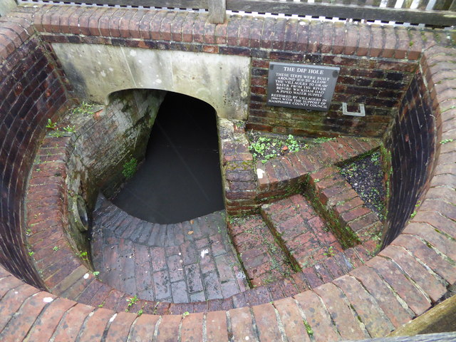
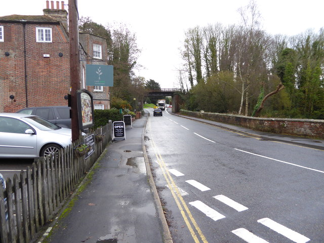
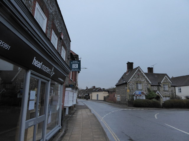
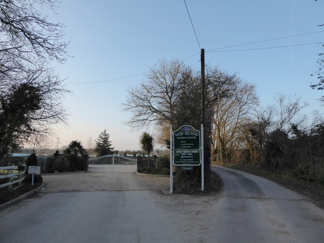
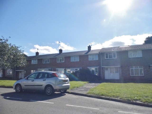
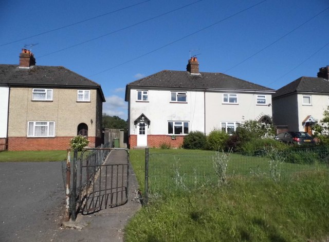
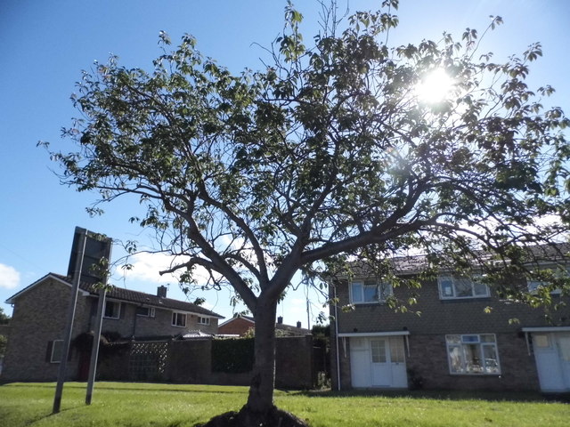
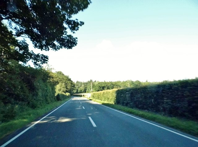
Wickham Common Images

Images are sourced within 2km of 50.890707/-1.1696753 or Grid Reference SU5810. Thanks to Geograph Open Source API. All images are credited.

Looking Up Bridge Street Uphill to the town centre from down by the bridge.
Looking Up Bridge Street
Uphill to the town centre from down by the bridge.
Looking Down Bridge Street Towards the bridge over the River Meon.
Looking Down Bridge Street
Towards the bridge over the River Meon.
Lamp Post on Bridge Street An old style street lamp in an old style street. The glass on the left of the lamp is blacked out because it is at the same level as the upper window of a nearby house.
Lamp Post on Bridge Street
An old style street lamp in an old style street. The glass on the left of the lamp is blacked out because it is at the same level as the upper window of a nearby house.
Heming & Co's Hardware Store Bins and pots and colourful stuff on display outside a shop in Wickham town centre.
Heming & Co's Hardware Store
Bins and pots and colourful stuff on display outside a shop in Wickham town centre.
The top end of Bridge Street Bridge Street goes between the River Meon and the town centre.
The top end of Bridge Street
Bridge Street goes between the River Meon and the town centre.
Outside the pub, Wickham A sunny Saturday morning at the Square Cow pub.
Outside the pub, Wickham
A sunny Saturday morning at the Square Cow pub.
Southwick Road, North Boarhunt
The Dip Hole at Wickham Another view is at <a title="https://www.geograph.org.uk/photo/1472085" href="https://www.geograph.org.uk/photo/1472085">Link</a>.
The Dip Hole at Wickham
Another view is at Link.
Looking east on Bridge Street to the disused railway bridge There are two bridges here, the road bridge over the River Meon and the former railway bridge which now carries a bridleway.
See also <a title="https://www.geograph.org.uk/photo/1472034" href="https://www.geograph.org.uk/photo/1472034">Link</a>.
Looking east on Bridge Street to the disused railway bridge
There are two bridges here, the road bridge over the River Meon and the former railway bridge which now carries a bridleway. See also Link.
2016: a year on Geograph (Day 69) Junction of Station Road and Bridge Street
2016: a year on Geograph (Day 69)
Junction of Station Road and Bridge Street
2016: a year on Geograph (Day 82) Entrance to Mud Island Nursery
2016: a year on Geograph (Day 82)
Entrance to Mud Island Nursery
Houses on School Road, Wickham
Tree on School Road, Wickham
The A32, Wickham
The A32, Wickham
House on Bridge Street, Wickham
Heming & Co, Wickham A traditional ironmonger store
Heming & Co, Wickham
A traditional ironmonger store
Show me another place!

Wickham Common is located at Grid Ref: SU5810 (Lat: 50.890707, Lng: -1.1696753)

Administrative County: Hampshire

District: Winchester

Police Authority: Hampshire

What 3 Words

///trees.responded.campus. Near Wickham, Hampshire

Related Wikis

Crockerhill, Hampshire

Crockerhill is a hamlet in south Hampshire, England. The population at the 2011 Census was included in the Borough of Fareham == References == The geographic...
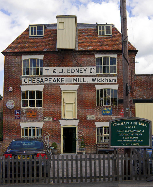
Chesapeake Mill

The Chesapeake Mill is a watermill in Wickham, Hampshire, England. The flour mill was constructed in 1820 using the timbers of HMS Chesapeake, which had...

Wickham railway station (Hampshire)

Wickham (Hants) railway station served the village of Wickham in Hampshire, England. It was on the Meon Valley line of the London and South Western Railway...

Boarhunt

Boarhunt () is a village and civil parish in the City of Winchester district of Hampshire, England, about 2 miles (3 kilometres) north-east of Fareham...

Wickham, Hampshire

Wickham () is a large village in the civil parish of Wickham and Knowle, in the Winchester district, in the county of Hampshire, England. It is about 3...

North Boarhunt

North Boarhunt is a village in the City of Winchester district of Hampshire, England. It is in the civil parish of Boarhunt. Its nearest town is Fareham...

Welborne, Hampshire

Welborne is a proposed new town to the north of Fareham, England, intended to include 6,000 houses with businesses and community facilities. A plan for...

Knowle Hospital

Knowle Hospital, was a psychiatric hospital that was repurposed as the village of Knowle near the town of Fareham in Hampshire, southern England, which...

Nearby Amenities

Located within 500m of 50.890707,-1.1696753
Power: tower
Ref: 34
Source: interpolation
Lat/Long: 50.8934283/-1.1752678
Power: tower
Ref: 35
Source: interpolation
Lat/Long: 50.8920402/-1.1697316
Power: tower
Ref: 36
Source: interpolation
Lat/Long: 50.8908038/-1.1649348
The Gedge Post
Man Made: signpost
Lat/Long: 50.8883997/-1.1702815
Barrier: stile
Lat/Long: 50.8897491/-1.1668332
Wickham Common
Place: locality
Wikidata: Q13132355
Lat/Long: 50.8926021/-1.1660074
Power: pole
Source: Bing
Lat/Long: 50.8889475/-1.1719953
Power: pole
Source: Bing
Lat/Long: 50.8893509/-1.1711387
Power: pole
Source: Bing
Lat/Long: 50.8885108/-1.1727635
Power: pole
Source: Bing
Lat/Long: 50.8898343/-1.1702657
Power: pole
Lat/Long: 50.8901019/-1.1697657
Power: pole
Lat/Long: 50.8927049/-1.1671473
Power: pole
Lat/Long: 50.8920599/-1.1677531
Power: pole
Lat/Long: 50.8913492/-1.1684072
Power: pole
Lat/Long: 50.8908411/-1.1688585
Power: pole
Lat/Long: 50.8906118/-1.1690695
Power: pole
Lat/Long: 50.8938687/-1.1660907
Power: pole
Lat/Long: 50.8947139/-1.1666518
The data included in this document is from www.openstreetmap.org. The data is made available under ODbL.

Have you been to Wickham Common?

Leave your review of Wickham Common below (or comments, questions and feedback).