Elenors Grove
Wood, Forest in Hampshire
England
Elenors Grove
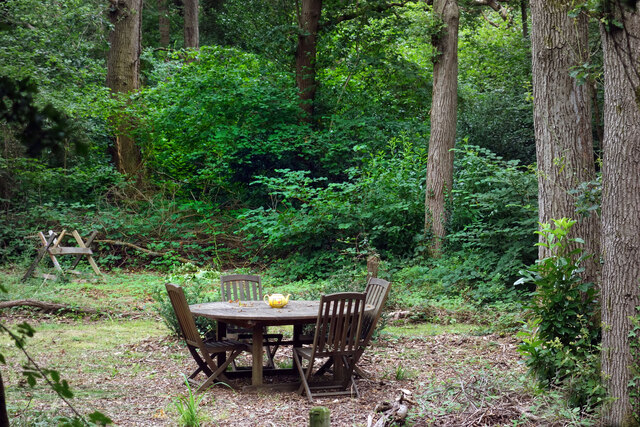
Elenors Grove, located in Hampshire, England, is a picturesque woodland retreat known for its natural beauty and serene atmosphere. Spread across a vast area, this forested haven offers an enchanting escape from the hustle and bustle of daily life.
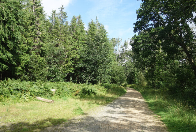
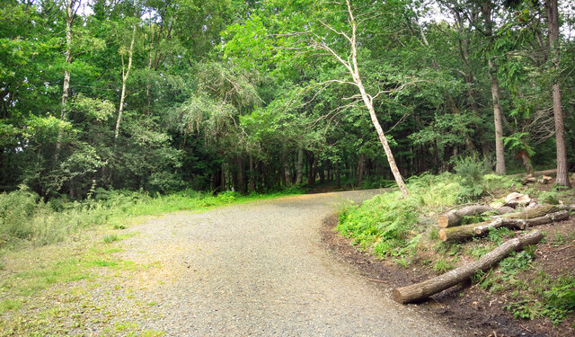
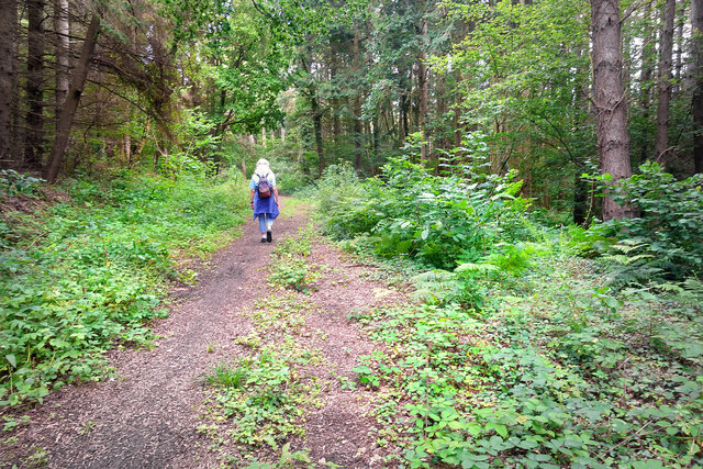
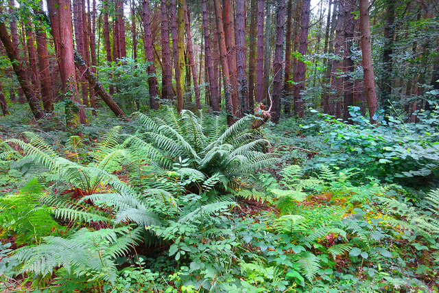
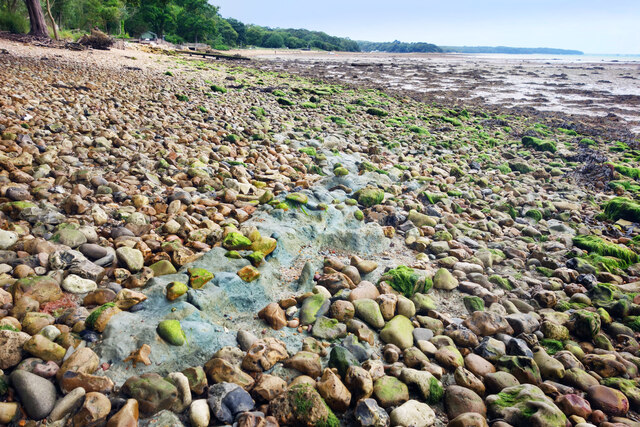
The grove is characterized by a diverse range of trees, including oak, beech, and chestnut, which create a dense canopy that provides shade and a sense of tranquility. The forest floor is adorned with a vibrant carpet of wildflowers, adding bursts of color to the landscape.
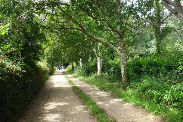
Elenors Grove is intersected by a network of walking trails, allowing visitors to explore its hidden corners and discover the numerous wonders it holds. The trails wind through the woods, leading to hidden clearings, babbling brooks, and small ponds, providing opportunities for peaceful contemplation or a leisurely picnic.
The grove is also home to an array of wildlife, making it a haven for nature enthusiasts and birdwatchers alike. Visitors may spot deer roaming freely, squirrels darting between trees, or even catch a glimpse of a rare bird species.
Throughout the year, Elenors Grove offers a different experience with each season. In spring, the forest comes alive with the vibrant colors of blooming flowers and the sweet songs of birds. Summer brings lush greenery and dappled sunlight filtering through the leaves. Autumn transforms the grove into a golden wonderland, as the foliage turns fiery shades of red and orange. And in winter, a peaceful stillness blankets the landscape, creating a serene and ethereal atmosphere.
Elenors Grove, Hampshire, truly offers a slice of natural paradise, inviting visitors to immerse themselves in its beauty and experience the magic of the forest.
If you have any feedback on the listing, please let us know in the comments section below.
Elenors Grove Images
Images are sourced within 2km of 50.726617/-1.2045695 or Grid Reference SZ5692. Thanks to Geograph Open Source API. All images are credited.


Elenors Grove is located at Grid Ref: SZ5692 (Lat: 50.726617, Lng: -1.2045695)
Unitary Authority: Isle of Wight
Police Authority: Hampshire
What 3 Words
///marked.dating.spit. Near Wootton, Isle of Wight
Nearby Locations
Related Wikis

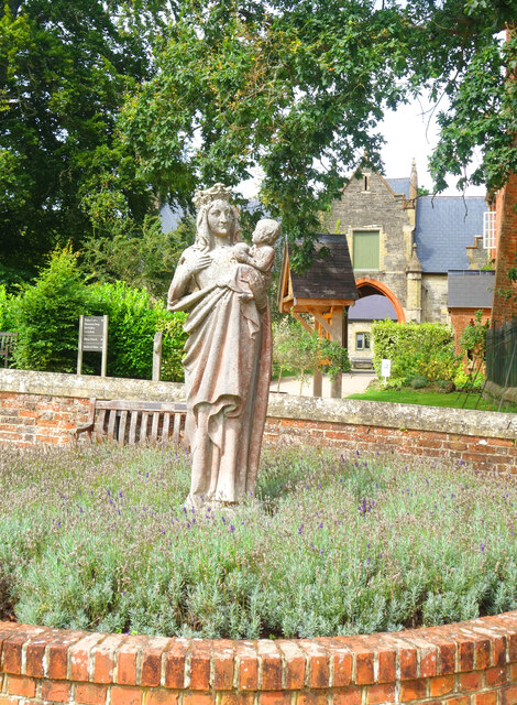
Quarr Abbey House
The Quarr Abbey House was one of several houses constructed along the north coast of the Isle of Wight in southern England. Built in the 19th century from...
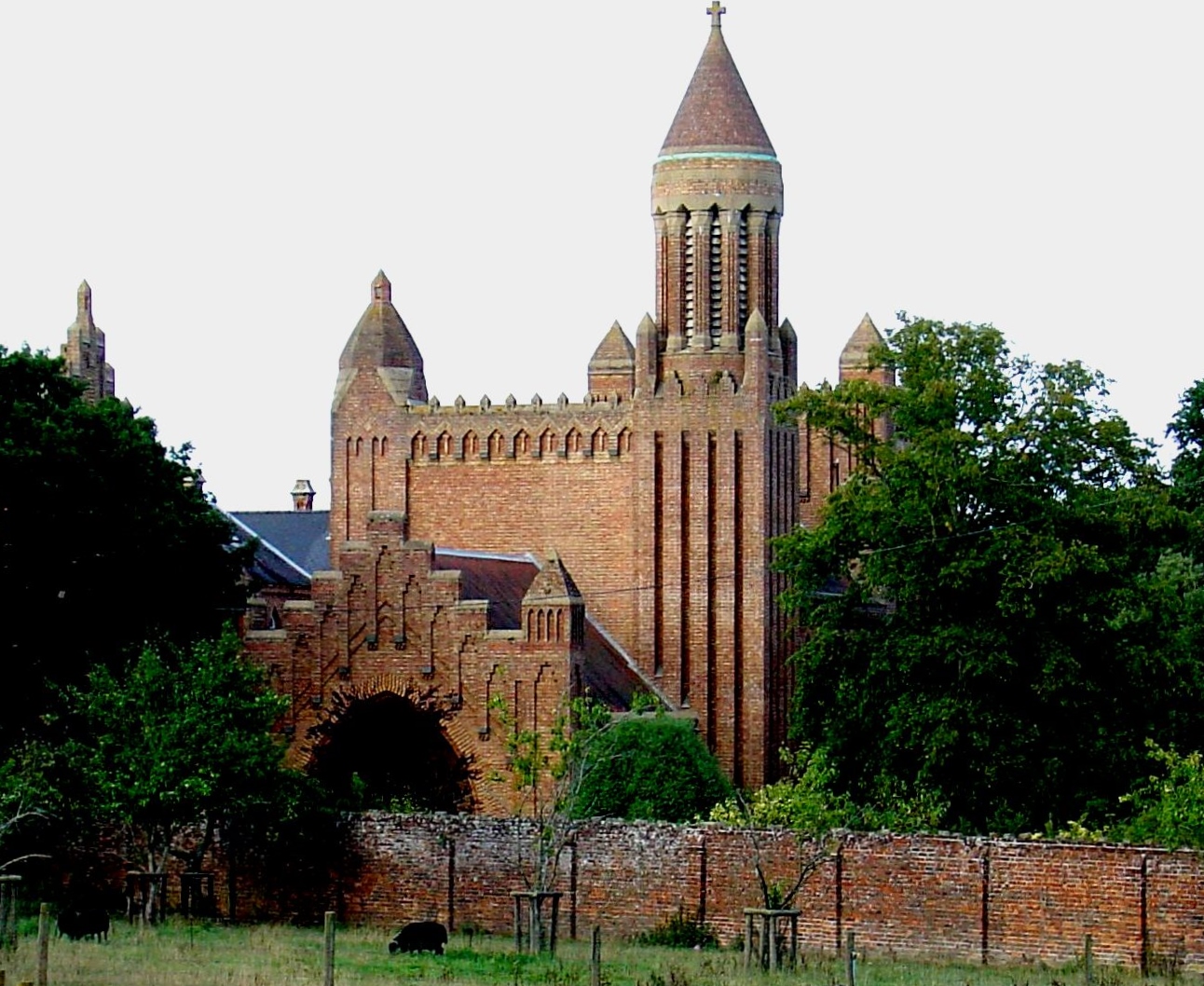
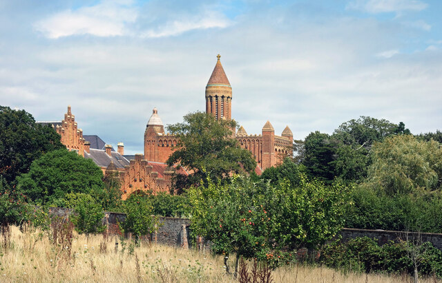
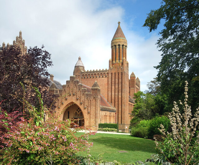
Quarr Abbey
Quarr Abbey (French: Abbaye Notre-Dame de Quarr) is a monastery between the villages of Binstead and Fishbourne on the Isle of Wight in southern England...
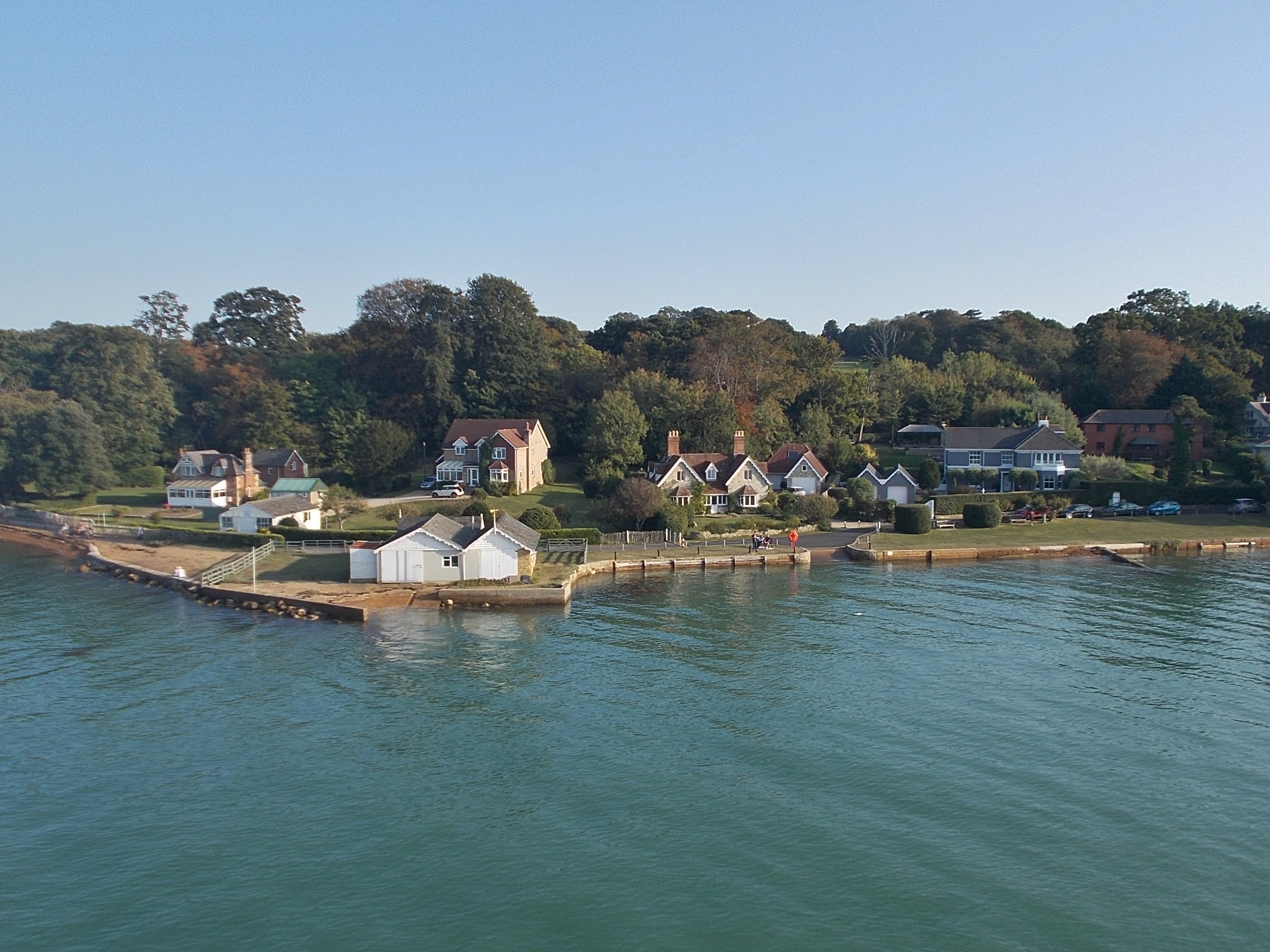
Fishbourne, Isle of Wight
Fishbourne is a village between Wootton and Ryde, on the Isle of Wight. The name "Fishbourne" might mean "stream of fish" or "fish spring."It is positioned...
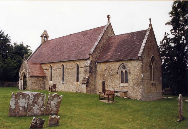
Holy Cross Church, Binstead
Holy Cross Church, Binstead is a parish church in the Church of England located in Binstead, Isle of Wight. == History == The 11th and 13th century church...

Binstead
Binstead is a village in the civil parish of Ryde, on the Isle of Wight, England. It is located in the northeast part of the Island, 1+1⁄2 miles (2.4 km...

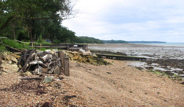
Ryde Sands and Wootton Creek SSSI
Ryde Sands and Wootton Creek is a 424.2-hectare (1,048-acre) Site of special scientific interest which stretches along the north-east coast of the Isle...
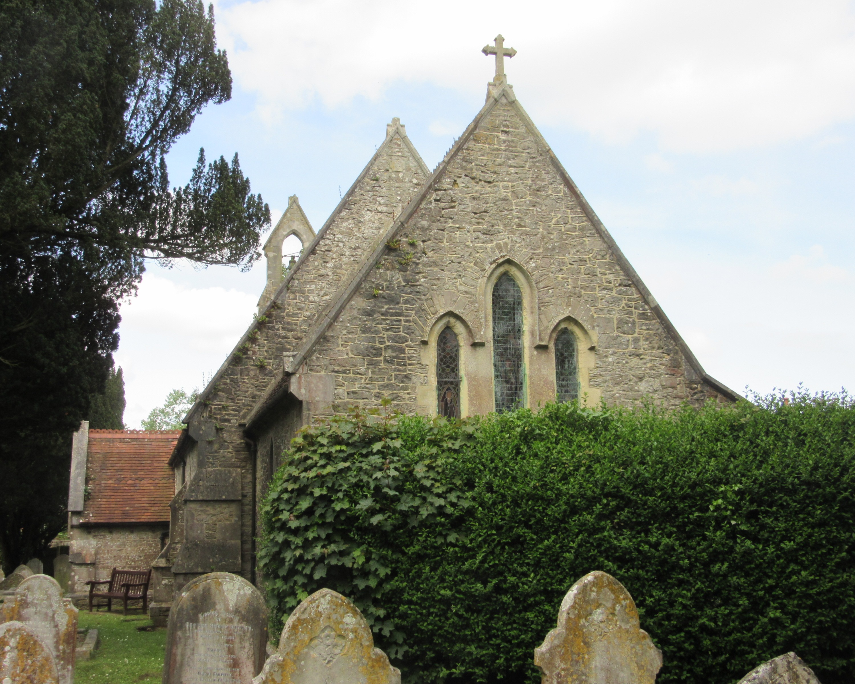
St Peter's Church, Havenstreet
St Peter's Church, Havenstreet is a parish church in the Church of England located in Havenstreet, Isle of Wight. == History == The church dates from 1852...
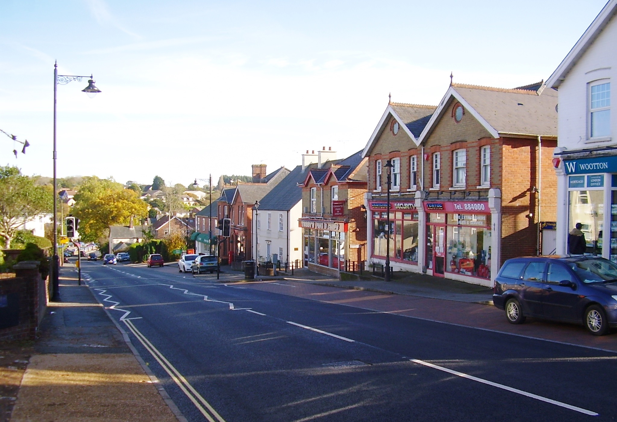
Wootton Bridge
Wootton Bridge is a large village, civil parish and electoral ward with about 3,000 residents on the Isle of Wight, first recorded around the year 1086...
Nearby Amenities
Located within 500m of 50.726617,-1.2045695Have you been to Elenors Grove?
Leave your review of Elenors Grove below (or comments, questions and feedback).