Fishbourne Copse

Wood, Forest in Hampshire

England

Fishbourne Copse

Gate into the Forest Access gate into the less visited eastern part of Firestone copse. The main forest tracks are open for cycling, but the yellow notice warns against using unofficial paths which have been made as they could be dangerous.
That's probably half the attraction, but at least the forestry people have covered themselves.
Gate into the Forest Credit: Des Blenkinsopp

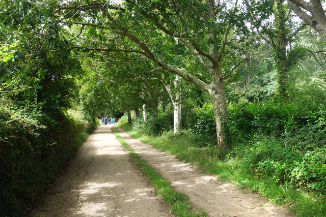
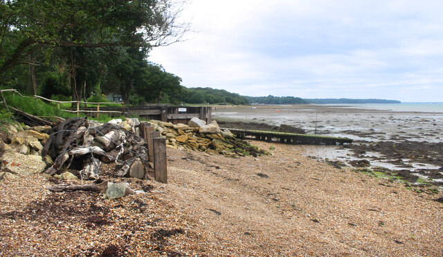
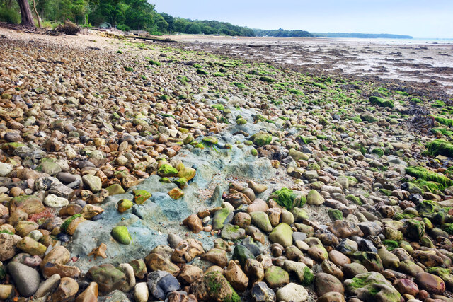
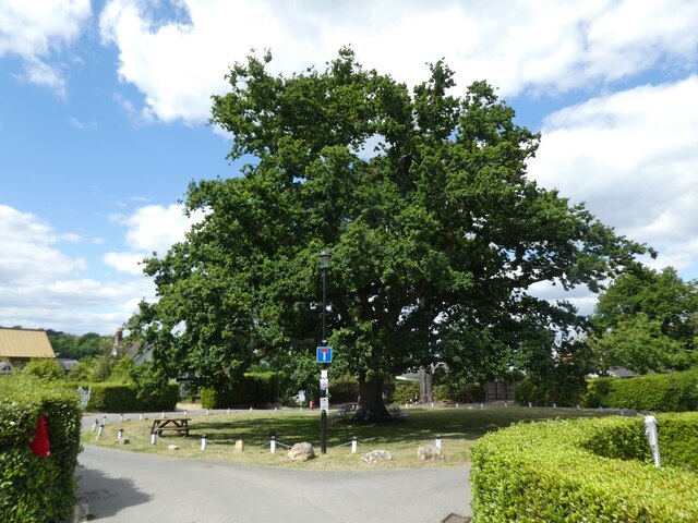
Fishbourne Copse is a picturesque woodland located in Hampshire, England. Covering an area of approximately 60 hectares, it is part of the wider Fishbourne Meadows Nature Reserve. The copse is situated near the village of Fishbourne, just a few miles east of the historic city of Chichester.

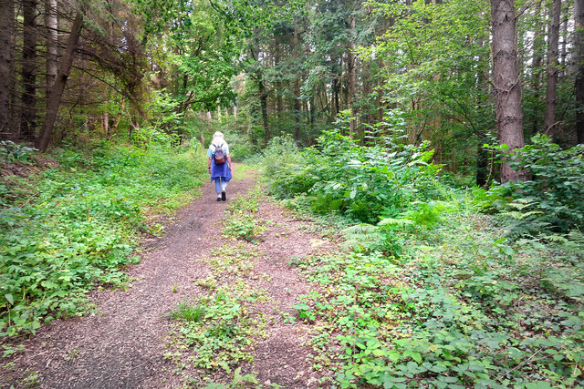
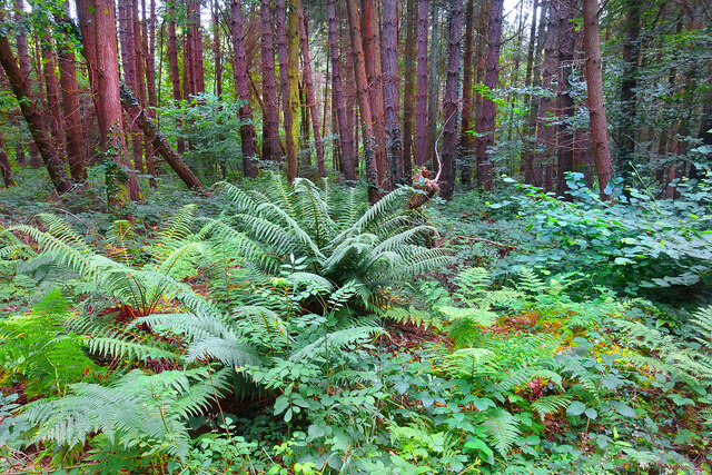
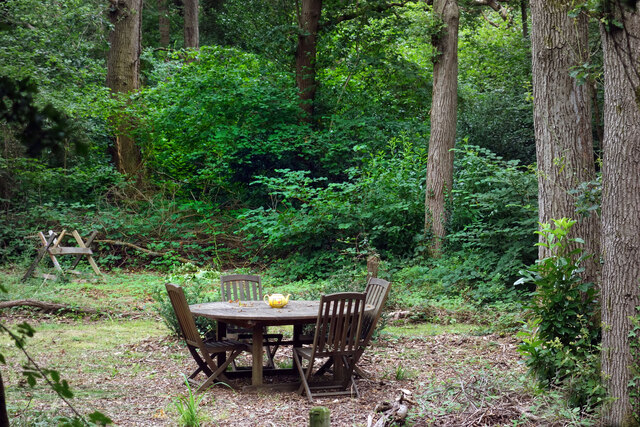
The woodland is predominantly composed of broadleaf trees, including oak, ash, beech, and hazel. These trees create a dense canopy, which provides shade and shelter for a variety of wildlife. In the spring and summer months, the copse bursts into life with a vibrant display of wildflowers, including bluebells, primroses, and wood anemones.

Fishbourne Copse is home to a diverse range of bird species, making it a popular spot for birdwatchers. Visitors may catch a glimpse of woodpeckers, nuthatches, and tawny owls. The copse also supports a healthy population of small mammals, such as badgers, foxes, and squirrels.

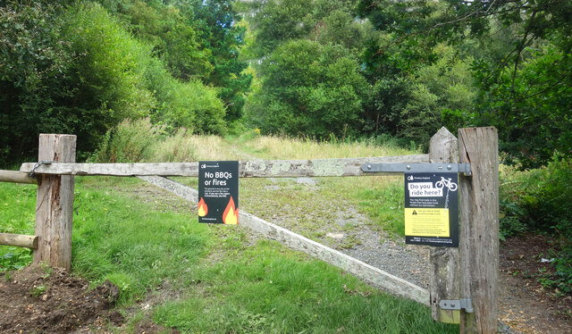
A network of footpaths and trails wind through the copse, allowing visitors to explore its natural beauty. These paths are well-maintained and suitable for walkers of all abilities. There are also designated picnic areas, where visitors can relax and enjoy the tranquil surroundings.

Managed by the Hampshire Wildlife Trust, Fishbourne Copse is a designated Site of Special Scientific Interest (SSSI) due to its ecological importance. Conservation efforts are focused on maintaining the copse's unique habitat and protecting its wildlife.

If you have any feedback on the listing, please let us know in the comments section below.

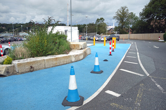
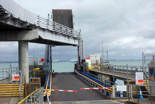
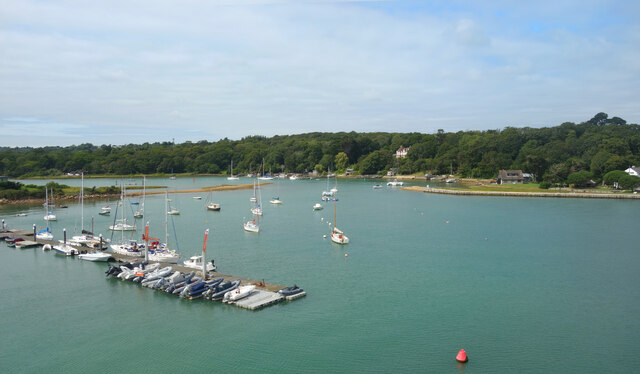
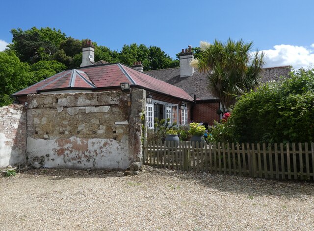
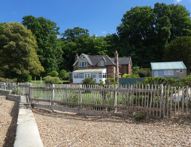
Fishbourne Copse Images

Images are sourced within 2km of 50.733378/-1.2029672 or Grid Reference SZ5692. Thanks to Geograph Open Source API. All images are credited.

Gate into the Forest Access gate into the less visited eastern part of Firestone copse. The main forest tracks are open for cycling, but the yellow notice warns against using unofficial paths which have been made as they could be dangerous.
That's probably half the attraction, but at least the forestry people have covered themselves.
Gate into the Forest
Access gate into the less visited eastern part of Firestone copse. The main forest tracks are open for cycling, but the yellow notice warns against using unofficial paths which have been made as they could be dangerous. That's probably half the attraction, but at least the forestry people have covered themselves.
Path in the Forest The smaller, eastern section of Firestone Copse is much less visited than the main bit on the other side of Firestone Copse Road. The tracks are muddier and less well maintained.
Path in the Forest
The smaller, eastern section of Firestone Copse is much less visited than the main bit on the other side of Firestone Copse Road. The tracks are muddier and less well maintained.
Ferns in the Forest Away from the paths, a lot of the forest is not easy to wander about in.
Ferns in the Forest
Away from the paths, a lot of the forest is not easy to wander about in.
Archway at Quarr Abbey These outbuildings next to the abbey are made out of local stone and are quite different in appearance to the red brick abbey itself.
Archway at Quarr Abbey
These outbuildings next to the abbey are made out of local stone and are quite different in appearance to the red brick abbey itself.
Quarr Road A leafy avenue between the present abbey and the ruins of its medieval predecessor. Part of the Isle of Wight Coast Path.
Quarr Road
A leafy avenue between the present abbey and the ruins of its medieval predecessor. Part of the Isle of Wight Coast Path.
Quarr Abbey Tower The abbey buildings rise above the surrounding trees.
Quarr Abbey Tower
The abbey buildings rise above the surrounding trees.
Madonna & Child, Quarr Abbey A statue in the abbey garden.
Madonna & Child, Quarr Abbey
A statue in the abbey garden.
Quarr Abbey Another picture of the impressive brick built abbey which was constructed between 1907 and 1912 to the designs of one of the monks.
Quarr Abbey
Another picture of the impressive brick built abbey which was constructed between 1907 and 1912 to the designs of one of the monks.
The Shore, Binstead The sign on the path leading down here from the road says "to the shore."
Not to the beach, an important difference. A mess of mud, seaweed, shingle and a lot of dead wood, this is a decidedly uncharismatic bit of coastline.
The Shore, Binstead
The sign on the path leading down here from the road says "to the shore." Not to the beach, an important difference. A mess of mud, seaweed, shingle and a lot of dead wood, this is a decidedly uncharismatic bit of coastline.
Stones and Clay There is just a surface scatter of stones here, stuck in an underlying layer of soft bluey-grey clay as seen centre shot.
Walking over it is a strange sensation. Not at all like the get nowhere fast trudge of shingle, more like walking on some sort of cobblestoned bog.
Stones and Clay
There is just a surface scatter of stones here, stuck in an underlying layer of soft bluey-grey clay as seen centre shot. Walking over it is a strange sensation. Not at all like the get nowhere fast trudge of shingle, more like walking on some sort of cobblestoned bog.
Teapot in the Woods In a clearing beside Quarr Road.
Teapot in the Woods
In a clearing beside Quarr Road.
"The Needles" at the Ferry Port By the pedestrian entrance to the IOW ferry terminal at Fishbourne.
A model of the island's famous rocks and lighthouse at the western end.
A bit of concrete, a bit of pipe, a bit of paint and a bit of imagination.
"The Needles" at the Ferry Port
By the pedestrian entrance to the IOW ferry terminal at Fishbourne. A model of the island's famous rocks and lighthouse at the western end. A bit of concrete, a bit of pipe, a bit of paint and a bit of imagination.
Cones & Colours The entrance to the ferry terminal at Fishbourne.
Cones & Colours
The entrance to the ferry terminal at Fishbourne.
12:13 at the Dock By the two vehicle loading ramps at Fishbourne ferry terminal. The arriving and departing boats are passing each other mid shot.
12:13 at the Dock
By the two vehicle loading ramps at Fishbourne ferry terminal. The arriving and departing boats are passing each other mid shot.
Moorings on Wootton Creek Like other tidal estuaries on both sides of The Solent, Wootton Creek is home to a fleet of small boats.
Moorings on Wootton Creek
Like other tidal estuaries on both sides of The Solent, Wootton Creek is home to a fleet of small boats.
Roundabout on Fishbourne Lane
The Fishbourne Inn
The Fishbourne Inn
Seafront cottage, Fishbourne
Show me another place!

Fishbourne Copse is located at Grid Ref: SZ5692 (Lat: 50.733378, Lng: -1.2029672)

Unitary Authority: Isle of Wight

Police Authority: Hampshire

What 3 Words

///luxury.money.erase. Near Wootton, Isle of Wight

Related Wikis

Quarr Abbey House

The Quarr Abbey House was one of several houses constructed along the north coast of the Isle of Wight in southern England. Built in the 19th century from...
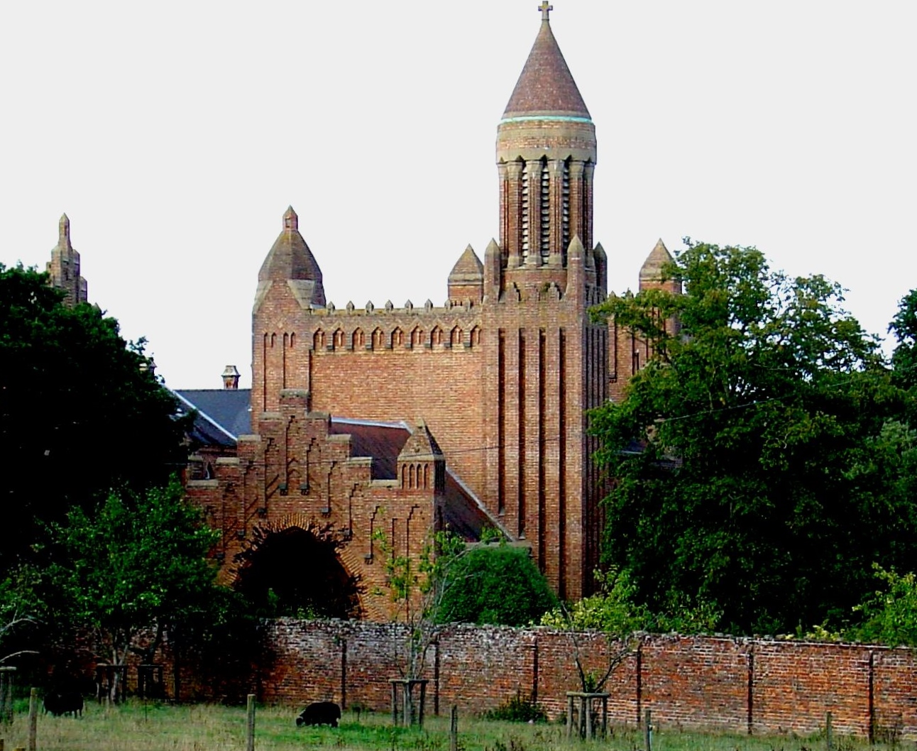
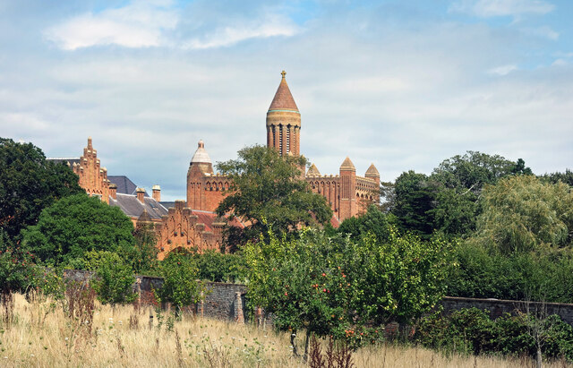
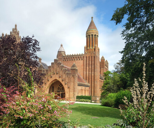
Quarr Abbey

Quarr Abbey (French: Abbaye Notre-Dame de Quarr) is a monastery between the villages of Binstead and Fishbourne on the Isle of Wight in southern England...

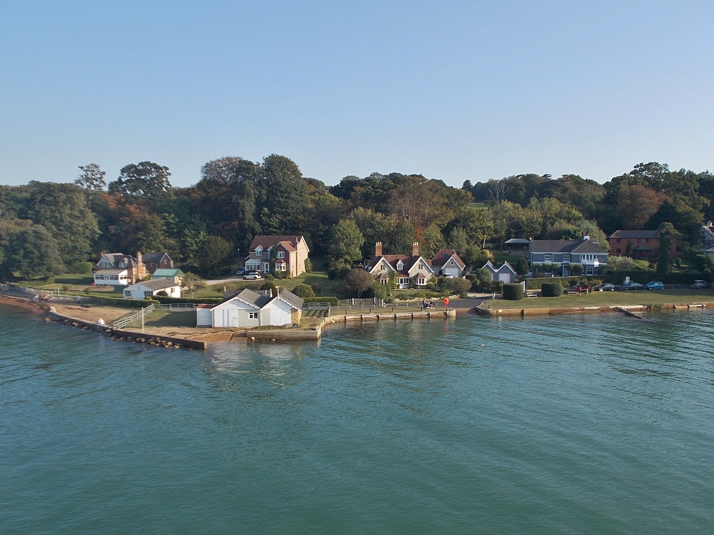
Fishbourne, Isle of Wight

Fishbourne is a village between Wootton and Ryde, on the Isle of Wight. The name "Fishbourne" might mean "stream of fish" or "fish spring."It is positioned...

Ryde Sands and Wootton Creek SSSI

Ryde Sands and Wootton Creek is a 424.2-hectare (1,048-acre) Site of special scientific interest which stretches along the north-east coast of the Isle...

Binstead

Binstead is a village in the civil parish of Ryde, on the Isle of Wight, England. It is located in the northeast part of the Island, 1+1⁄2 miles (2.4 km...

Holy Cross Church, Binstead

Holy Cross Church, Binstead is a parish church in the Church of England located in Binstead, Isle of Wight. == History == The 11th and 13th century church...

Isle of Wight Festival 1969

The 1969 Isle of Wight Festival was held on 29–31 August 1969 at Wootton Creek, on the Isle of Wight. The festival attracted an audience of approximately...

Wootton Creek

Wootton Creek is a tidal estuary that flows into the Solent on the north coast of the Isle of Wight. The estuary has also been known in the past as "Fishbourne...

Nearby Amenities

Located within 500m of 50.733378,-1.2029672
Source: PGS
Lat/Long: 50.7333738/-1.1963808
Bicycle Parking
Bicycle Parking: stands
Lat/Long: 50.7313199/-1.2051836
Barrier: bollard
Lat/Long: 50.7300986/-1.2061733
Bench
Backrest: yes
Check Date: 2021-02-06
Lat/Long: 50.730108/-1.2059269
Barrier: bollard
Lat/Long: 50.7298315/-1.2038985
Leisure: picnic_table
Lat/Long: 50.7307291/-1.2048832
Leisure: picnic_table
Lat/Long: 50.7306271/-1.2047799
Leisure: picnic_table
Lat/Long: 50.7305753/-1.2049717
Leisure: picnic_table
Lat/Long: 50.7306865/-1.204741
Leisure: picnic_table
Lat/Long: 50.7306364/-1.2049274
Leisure: picnic_table
Lat/Long: 50.7305329/-1.2049837
Information: board
Tourism: information
Lat/Long: 50.7305145/-1.1991463
Entrance: yes
Lat/Long: 50.730516/-1.2050086
Cafe
Quarr Abbey Coffee Shop
Addr City: Binstead
Addr Country: GB
Addr Housename: Quarr Abbey
Addr Postcode: PO33 4ES
Addr Street: Quarr Road
Cuisine: coffee_shop
Fhrs Id: 540662
Outdoor Seating: yes
Wifi: no
Lat/Long: 50.7305427/-1.205087
Toilets
Lat/Long: 50.7305083/-1.2052017
Entrance: main
Lat/Long: 50.7312347/-1.204467
Quarr Abbey Ruins (No Public Access)
Historic: ruins
Lat/Long: 50.7312264/-1.1992505
Isle of Wight Bee Keeping Association (IWBKA) Teaching Apiary
Craft: beekeeper
Lat/Long: 50.7307324/-1.2074769
Bench
Backrest: yes
Lat/Long: 50.7305183/-1.2080464
Bench
Backrest: yes
Lat/Long: 50.7304269/-1.2077155
Bench
Backrest: yes
Lat/Long: 50.7301858/-1.2061579
Bench
Backrest: yes
Lat/Long: 50.7301955/-1.2062858
Bench
Backrest: yes
Lat/Long: 50.730923/-1.2061207
Bench
Backrest: yes
Lat/Long: 50.7309502/-1.2059774
Bench
Backrest: yes
Lat/Long: 50.7309677/-1.2056456
Bench
Backrest: yes
Lat/Long: 50.7307556/-1.2055155
Bench
Backrest: yes
Lat/Long: 50.7304792/-1.2056335
Bench
Backrest: yes
Lat/Long: 50.7302811/-1.2058054
Bench
Backrest: yes
Lat/Long: 50.7301418/-1.2060301
Bench
Backrest: yes
Direction: 42
Lat/Long: 50.7304053/-1.2059813
Bench
Access: yes
Backrest: yes
Direction: 294
Material: wood
Lat/Long: 50.730545/-1.206006
The data included in this document is from www.openstreetmap.org. The data is made available under ODbL.

Have you been to Fishbourne Copse?

Leave your review of Fishbourne Copse below (or comments, questions and feedback).