Quarr Wood
Wood, Forest in Hampshire
England
Quarr Wood
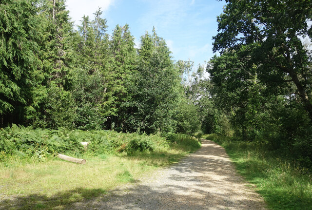
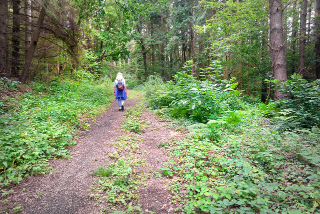
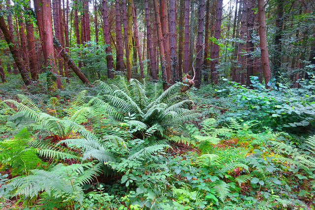
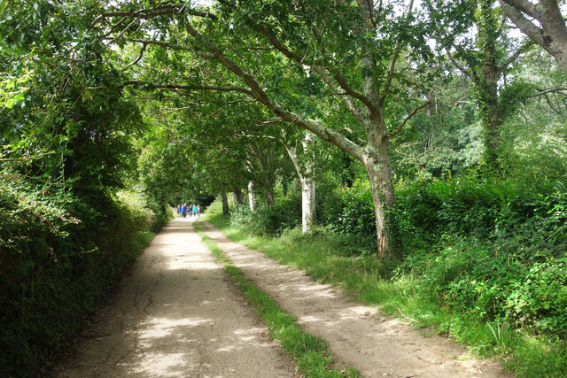
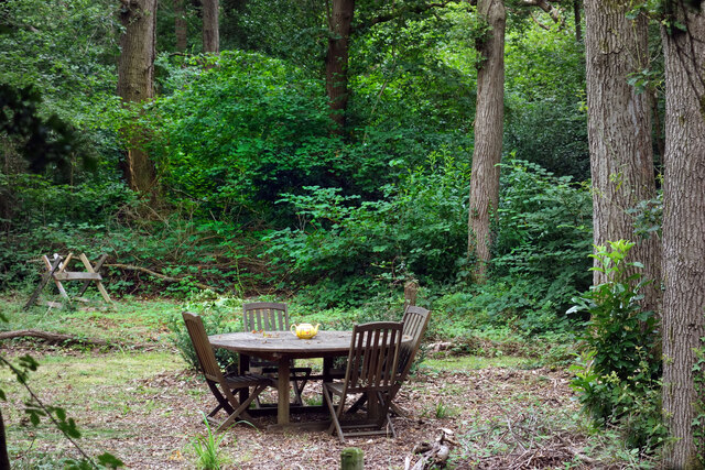
Quarr Wood is a beautiful woodland located in Hampshire, England. Covering an area of approximately 60 hectares, this ancient forest is known for its diverse range of flora and fauna, making it a popular destination for nature enthusiasts and hikers alike.
The wood is predominantly composed of oak and beech trees, interspersed with pockets of birch, hazel, and holly. The dense canopy formed by these majestic trees creates a serene and peaceful atmosphere, providing a perfect escape from the hustle and bustle of everyday life.
One of the highlights of Quarr Wood is its vibrant wildlife. It is home to a variety of bird species, including woodpeckers, tawny owls, and nightingales, making it an ideal spot for birdwatching. Additionally, the forest is inhabited by mammals such as deer, foxes, and badgers, which can occasionally be spotted during a leisurely stroll.
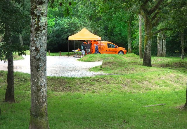
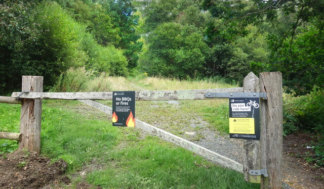
The wood is crisscrossed with numerous walking trails, offering visitors the opportunity to explore its natural beauty at their own pace. These trails take visitors through ancient woodlands, past tranquil ponds, and along bubbling streams, providing a picturesque setting for a relaxing walk or a family picnic.
Quarr Wood is also of historical significance, with evidence of human activity dating back to the Neolithic period. Archaeological remains, including burial mounds and earthworks, can still be found within the forest, adding an extra layer of intrigue to this already captivating location.
Overall, Quarr Wood is a haven of tranquility and natural beauty, offering visitors a chance to immerse themselves in the wonders of Hampshire's woodland heritage.
If you have any feedback on the listing, please let us know in the comments section below.
Quarr Wood Images
Images are sourced within 2km of 50.728789/-1.1974059 or Grid Reference SZ5692. Thanks to Geograph Open Source API. All images are credited.

Quarr Wood is located at Grid Ref: SZ5692 (Lat: 50.728789, Lng: -1.1974059)
Unitary Authority: Isle of Wight
Police Authority: Hampshire
What 3 Words
///reef.gown.poetic. Near Ryde, Isle of Wight
Nearby Locations
Related Wikis
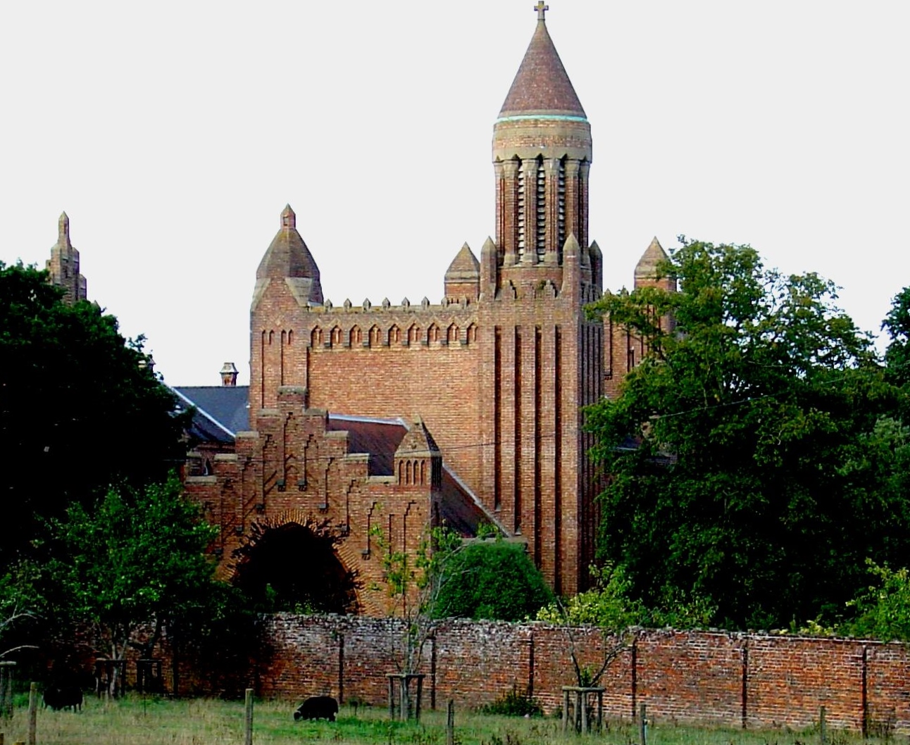
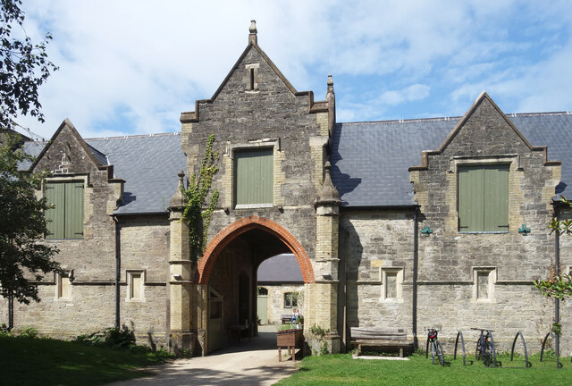
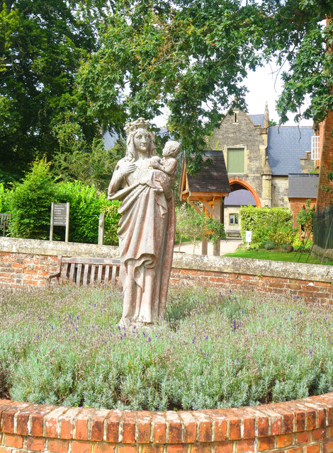
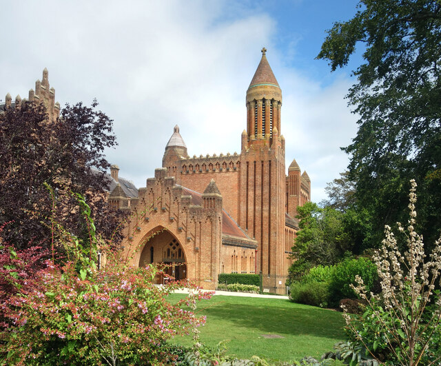
Quarr Abbey
Quarr Abbey (French: Abbaye Notre-Dame de Quarr) is a monastery between the villages of Binstead and Fishbourne on the Isle of Wight in southern England...

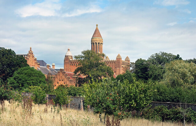
Quarr Abbey House
The Quarr Abbey House was one of several houses constructed along the north coast of the Isle of Wight in southern England. Built in the 19th century from...

Binstead
Binstead is a village in the civil parish of Ryde, on the Isle of Wight, England. It is located in the northeast part of the Island, 1+1⁄2 miles (2.4 km...
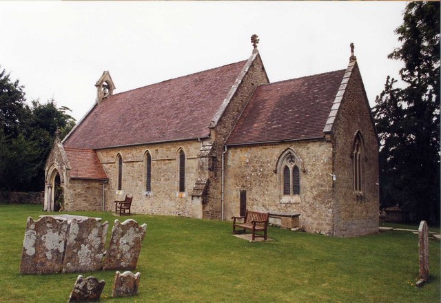
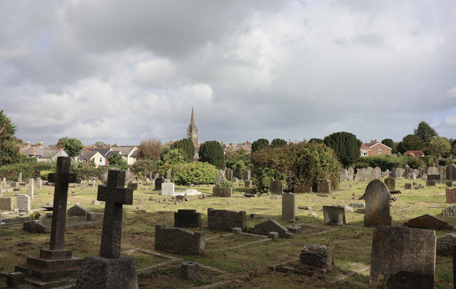
Holy Cross Church, Binstead
Holy Cross Church, Binstead is a parish church in the Church of England located in Binstead, Isle of Wight. == History == The 11th and 13th century church...

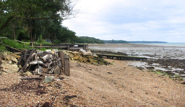
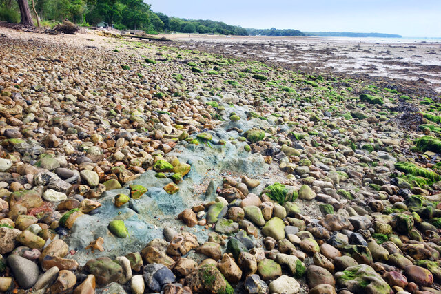
Ryde Sands and Wootton Creek SSSI
Ryde Sands and Wootton Creek is a 424.2-hectare (1,048-acre) Site of special scientific interest which stretches along the north-east coast of the Isle...
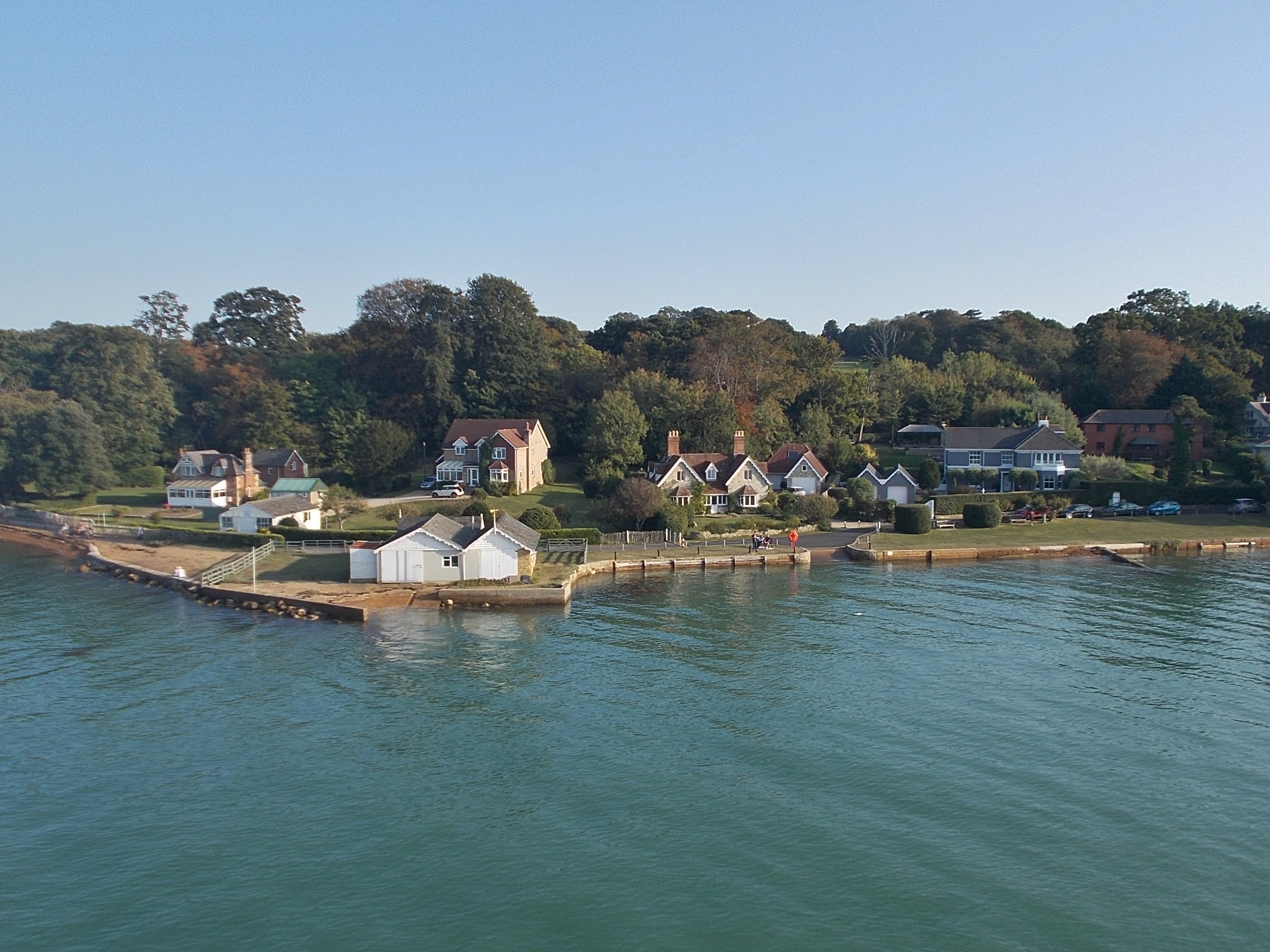
Fishbourne, Isle of Wight
Fishbourne is a village between Wootton and Ryde, on the Isle of Wight. The name "Fishbourne" might mean "stream of fish" or "fish spring."It is positioned...
Ryde Academy
Ryde Academy is an academy status secondary school, including sixth form, located in Ryde on the Isle of Wight, England. == History == Education on the...

Haylands
Haylands is an area just to the south of Ryde on the Isle of Wight, off the south coast of England. At the time of the 2011 Census the population etc....
Nearby Amenities
Located within 500m of 50.728789,-1.1974059Have you been to Quarr Wood?
Leave your review of Quarr Wood below (or comments, questions and feedback).