Bignell Belt

Wood, Forest in Oxfordshire Cherwell

England

Bignell Belt

Fane House, Bicester This is sheltered housing
Fane House, Bicester Credit: David Howard

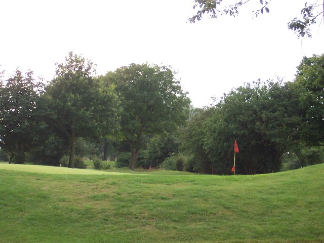
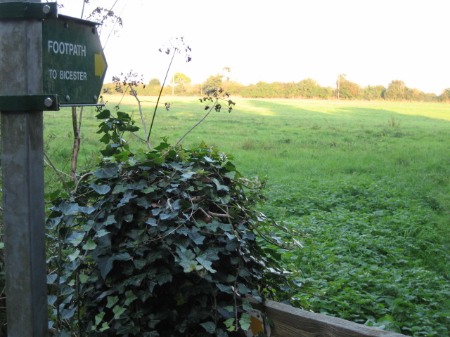
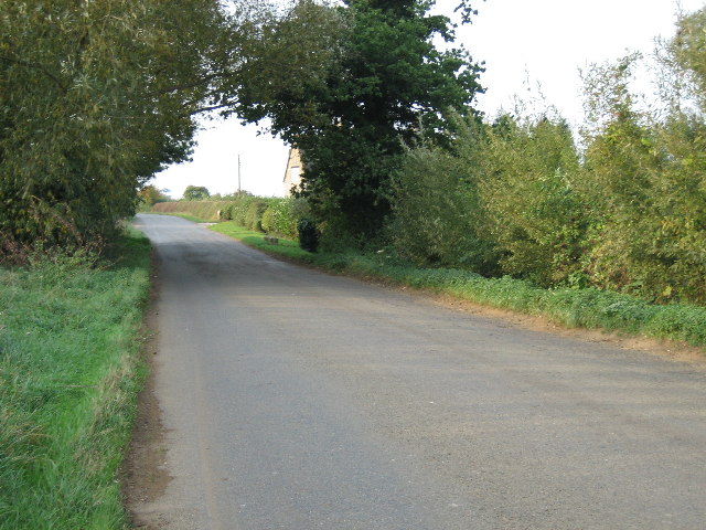
Bignell Belt is a picturesque woodland located in the county of Oxfordshire, England. Spanning over an area of approximately 200 acres, this forested area is renowned for its natural beauty and diverse ecosystem. It is situated near the village of Chesterton, just a few miles north of Bicester.

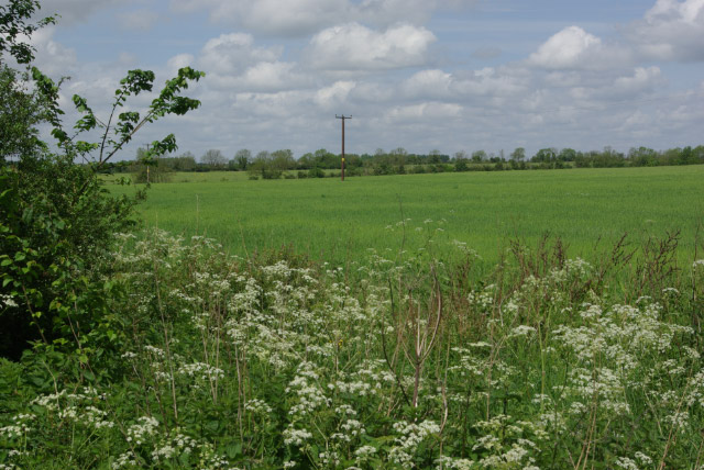
The woodland is known for its dense canopy of ancient trees, including oak, beech, and ash, which provide a rich habitat for a wide range of wildlife. The forest floor is covered in a lush carpet of bluebells during the springtime, creating a stunning and vibrant display.

Bignell Belt offers numerous walking trails and paths, allowing visitors to explore its serene surroundings. It is a popular destination for nature enthusiasts, hikers, and birdwatchers, who often spot various bird species such as woodpeckers, nightingales, and tawny owls.

The forest is managed by the Woodland Trust, an organization dedicated to the preservation and conservation of woodlands across the United Kingdom. As such, the Bignell Belt is well-maintained and offers a peaceful retreat away from the hustle and bustle of city life.

In addition to its natural beauty, Bignell Belt has historical significance as well. The woodland was once part of a larger estate owned by the Bignell family, hence its name. Today, remnants of the estate's past can still be seen, including the remnants of an old stone wall and the foundations of a former grand residence.

Overall, Bignell Belt in Oxfordshire is a tranquil and enchanting forest that offers visitors a chance to connect with nature, explore its rich biodiversity, and immerse themselves in its captivating atmosphere.

If you have any feedback on the listing, please let us know in the comments section below.
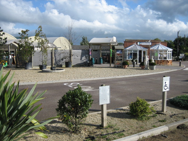
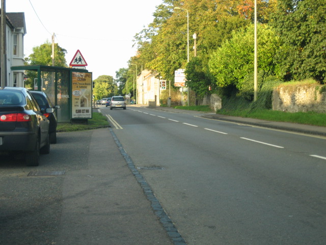
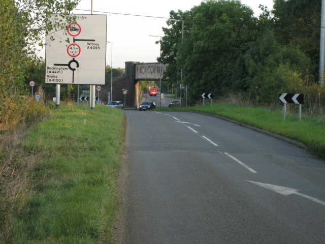
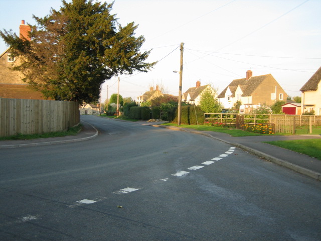
Bignell Belt Images

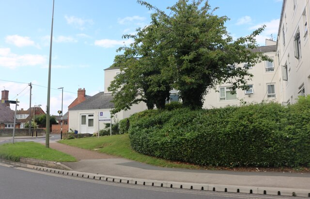
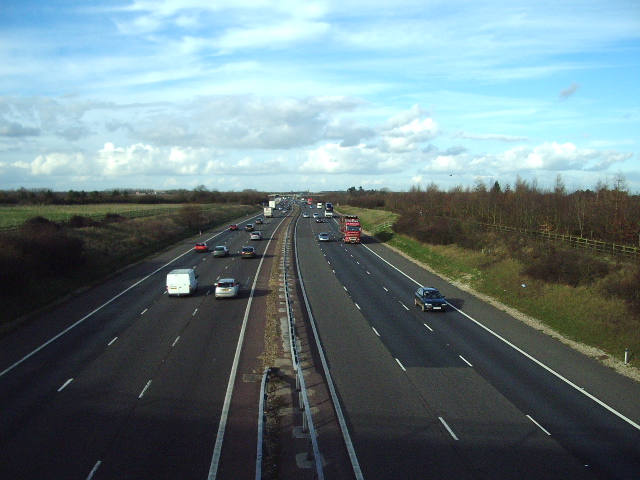
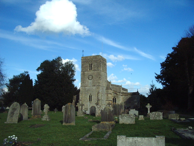
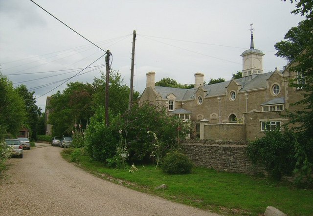
Images are sourced within 2km of 51.900554/-1.1840274 or Grid Reference SP5622. Thanks to Geograph Open Source API. All images are credited.

Fane House, Bicester This is sheltered housing
Fane House, Bicester
This is sheltered housing
The Holiday Inn on Oxford Road, Bicester
The 18th Green This is the 18th Green at Bicester Golf an Country Club, Bicester, Oxfordshire
The 18th Green
This is the 18th Green at Bicester Golf an Country Club, Bicester, Oxfordshire
The Red Cow pub, Chesterton
Blooms Garden Centre
King's End looking north-east
Railway bridge over Bucknell Road, Bicester
A4095 in Chesterton looking north
Footpath to Bicester from Bignell House
Wansbeck Drive looking west
Dryden Avenue looking north
Road near Hawkwell Farm looking north-west
M40 Looking N from the bridge of the A4095
M40
Looking N from the bridge of the A4095
St Mary's Church, Chesterton
Farmland east of Middleton Stoney Farmland north of the B4030 Bicester - Enstone road.
Farmland east of Middleton Stoney
Farmland north of the B4030 Bicester - Enstone road.
Bicester fire station Bicester fire station, Queens Avenue, Bicester, Oxfordshire
Bicester fire station
Bicester fire station, Queens Avenue, Bicester, Oxfordshire
Bure Park (actual Park), Bicester This picture was taken from the very edge of Bure Park, the actual 'park' which was formerly open farmland back in the 1980's, rather than the adjacent residential estate of the same name! Here we also see the Chiltern Railway that splits Bicester in two. The train seen is heading left (East) into Bicester North Station. A popular for local folk to walk dogs!
Bure Park (actual Park), Bicester
This picture was taken from the very edge of Bure Park, the actual 'park' which was formerly open farmland back in the 1980's, rather than the adjacent residential estate of the same name! Here we also see the Chiltern Railway that splits Bicester in two. The train seen is heading left (East) into Bicester North Station. A popular for local folk to walk dogs!
Chesterton Lodge, Chesterton A striking and superb building located near The Red Cow pub, in Chesterton ( near Bicester). I believe this building to be 'Chesterton Lodge', though I am not certain of this. The round windows and domed details to the roof add to the striking appearance of this overlooked building.
Chesterton Lodge, Chesterton
A striking and superb building located near The Red Cow pub, in Chesterton ( near Bicester). I believe this building to be 'Chesterton Lodge', though I am not certain of this. The round windows and domed details to the roof add to the striking appearance of this overlooked building.
Show me another place!

Bignell Belt is located at Grid Ref: SP5622 (Lat: 51.900554, Lng: -1.1840274)

Administrative County: Oxfordshire

District: Cherwell

Police Authority: Thames Valley

What 3 Words

///decorator.regulates.rationing. Near Bicester, Oxfordshire

Nearby Locations

Bignell Belt

Related Wikis

Chesterton, Oxfordshire

Chesterton is a village and civil parish on Gagle Brook, a tributary of the Langford Brook in north Oxfordshire. The village is about 1+1⁄2 miles (2.4...

The Bicester School

The Bicester School (previously Bicester Community College) is a mixed, multi-heritage, secondary school, with 963 students (including a sixth form). It...
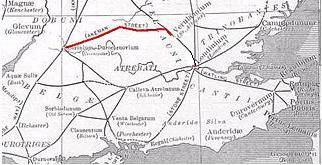
Akeman Street

Akeman Street is a Roman road in southern England between the modern counties of Hertfordshire and Gloucestershire. It is approximately 117 kilometres...

Bure Park

Bure Park is a 8.4-hectare (21-acre) Local Nature Reserve in Bicester in Oxfordshire. It is owned by Bicester Town Council and managed by Cherwell District...

Bicester Avenue

Bicester Avenue Home and Garden Centre is a shopping centre in Bicester, Oxfordshire, England, that opened in May 2007. Some of the stores at Bicester...
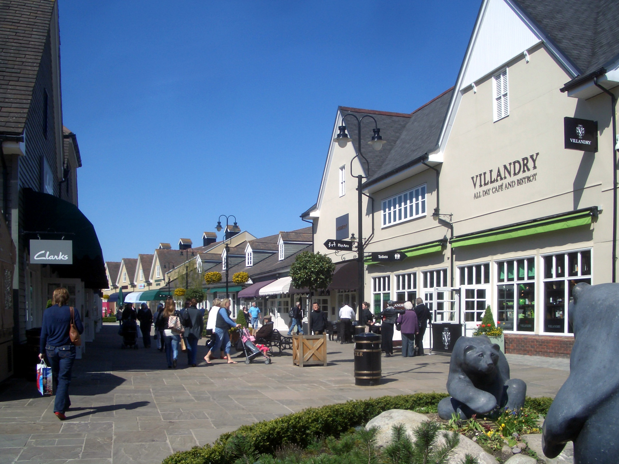
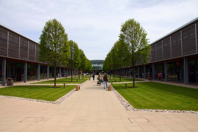
Bicester Village

Bicester Village is a designer outlet shopping centre on the outskirts of Bicester, a town in Oxfordshire, England. It is owned by Value Retail plc. The...

Bicester

Bicester ( BISS-tər) is a historical market town, garden town, and civil parish in the Cherwell district of northeastern Oxfordshire in south-central...

Bicester North railway station

Bicester North is a station on the Chiltern Main Line, one of two stations serving Bicester in Oxfordshire. Services operated by Chiltern Railways run...

Nearby Amenities

Located within 500m of 51.900554,-1.1840274
Post Box
Ref: OX26 944
Lat/Long: 51.9019415/-1.1775724
Turning Circle
Lat/Long: 51.9018609/-1.1783147
Turning Circle
Lat/Long: 51.9027485/-1.1789424
Turning Circle
Lat/Long: 51.9007604/-1.1794731
Turning Circle
Lat/Long: 51.9011003/-1.1796919
Turning Circle
Lat/Long: 51.9014374/-1.1789765
Turning Circle
Lat/Long: 51.9005179/-1.1787309
Turning Circle
Lat/Long: 51.9009197/-1.1780445
Turning Circle
Lat/Long: 51.9002093/-1.1777542
Turning Circle
Lat/Long: 51.9007165/-1.1769857
Bus Stop
Wensum Cresent
Bus: yes
Naptan AtcoCode: 340003084WEN
Naptan Bearing: N
Naptan CommonName: Wensum Cresent
Naptan Indicator: Corner
Naptan Landmark: Wensum Cresent
Naptan NaptanCode: oxfawdmp
Naptan Street: Wansbeck Drive
Naptan Verified: no
Public Transport: platform
Source: naptan_import
Lat/Long: 51.9025813/-1.1779385
Bus Stop
Eden Way
Bus: yes
Naptan AtcoCode: 340003085EDN
Naptan Bearing: W
Naptan CommonName: Eden Way
Naptan Indicator: Corner
Naptan Landmark: Eden Way
Naptan NaptanCode: oxfawdtm
Naptan Street: Wansbeck Drive
Naptan Verified: no
Public Transport: platform
Source: naptan_import
Lat/Long: 51.9011798/-1.1768159
Power: pole
Source: Bing
Lat/Long: 51.90401/-1.1870867
Power: pole
Source: Bing
Lat/Long: 51.9027533/-1.1856798
Note: Fenced off
Lat/Long: 51.898782/-1.1827646
Leisure: playground
Lat/Long: 51.8971129/-1.1796942
Generator Method: photovoltaic
Generator Output Electricity: yes
Generator Source: solar
Generator Type: solar_photovoltaic_panel
Location: roof
Power: generator
Lat/Long: 51.9028797/-1.1791635
Generator Method: photovoltaic
Generator Output Electricity: yes
Generator Source: solar
Generator Type: solar_photovoltaic_panel
Location: roof
Power: generator
Lat/Long: 51.9022409/-1.1776373
Generator Method: photovoltaic
Generator Output Electricity: yes
Generator Source: solar
Generator Type: solar_photovoltaic_panel
Location: roof
Power: generator
Lat/Long: 51.9021209/-1.1789784
Generator Method: photovoltaic
Generator Output Electricity: yes
Generator Source: solar
Generator Type: solar_photovoltaic_panel
Location: roof
Power: generator
Lat/Long: 51.9021226/-1.1789368
Crossing
Crossing: uncontrolled
Crossing Island: no
Crossing Markings: zebra;dots
Crossing Ref: zebra
Tactile Paving: yes
Lat/Long: 51.8972703/-1.1791648
Crossing
Crossing: uncontrolled
Lat/Long: 51.9000293/-1.1817836
Crossing
Crossing: uncontrolled
Lat/Long: 51.9000898/-1.1818987
Crossing
Crossing: uncontrolled
Lat/Long: 51.9004747/-1.1819888
Crossing
Crossing: uncontrolled
Lat/Long: 51.9004038/-1.1820525
Crossing
Crossing: uncontrolled
Lat/Long: 51.900632/-1.1814933
Crossing
Crossing: uncontrolled
Lat/Long: 51.9006321/-1.1816083
Crossing
Bicycle: yes
Crossing: unmarked
Crossing Island: separate
Crossing Markings: no
Tactile Paving: yes
Lat/Long: 51.9002954/-1.1810872
Crossing
Bicycle: yes
Crossing: unmarked
Crossing Island: separate
Crossing Markings: no
Tactile Paving: yes
Lat/Long: 51.9003794/-1.1810658
Noexit: yes
Lat/Long: 51.8983776/-1.1808038
Noexit: yes
Lat/Long: 51.8984117/-1.1809258
Barrier: bollard
Lat/Long: 51.8972707/-1.1792412
Barrier: bollard
Lat/Long: 51.8972704/-1.1790964
Tactile Paving: yes
Lat/Long: 51.8972704/-1.1791219
Tactile Paving: yes
Lat/Long: 51.8972703/-1.1792078
Give Way
Direction: backward
Lat/Long: 51.8996733/-1.1783034
Traffic Calming: cushion
Lat/Long: 51.8996168/-1.1778034
Traffic Calming: island
Lat/Long: 51.8996379/-1.1779075
Traffic Calming: island
Lat/Long: 51.8999179/-1.1790946
Tactile Paving: yes
Lat/Long: 51.9002704/-1.1810816
Tactile Paving: yes
Lat/Long: 51.9003521/-1.1810854
Tactile Paving: yes
Lat/Long: 51.9003204/-1.1810929
Tactile Paving: yes
Lat/Long: 51.9004066/-1.1810463
Barrier: cycle_barrier
Lat/Long: 51.89877/-1.1826848
Noexit: yes
Lat/Long: 51.8986661/-1.1797965
Noexit: yes
Lat/Long: 51.8984249/-1.1799534
Noexit: yes
Lat/Long: 51.8993935/-1.1788423
Noexit: yes
Lat/Long: 51.8981699/-1.1799805
Barrier: cycle_barrier
Lat/Long: 51.8979617/-1.1791514
Noexit: yes
Lat/Long: 51.8997961/-1.1801425
Noexit: yes
Lat/Long: 51.899643/-1.1798374
Noexit: yes
Lat/Long: 51.8997683/-1.1799379
Noexit: yes
Lat/Long: 51.8998374/-1.1803329
Noexit: yes
Lat/Long: 51.8998892/-1.1807359
Noexit: yes
Lat/Long: 51.899787/-1.1818296
The data included in this document is from www.openstreetmap.org. The data is made available under ODbL.

Have you been to Bignell Belt?

Leave your review of Bignell Belt below (or comments, questions and feedback).