Sands Corner Copse
Wood, Forest in Oxfordshire South Oxfordshire
England
Sands Corner Copse
Sands Corner Copse is a picturesque woodland located in Oxfordshire, England. Nestled in the heart of the countryside, this natural haven is a popular destination for nature enthusiasts and those seeking a tranquil escape from the hustle and bustle of city life.
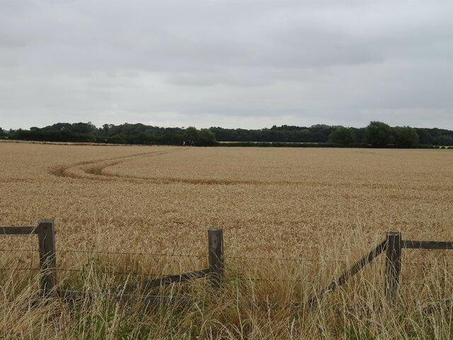
Covering an area of approximately 50 acres, Sands Corner Copse boasts a diverse range of flora and fauna, making it a haven for wildlife. The forest is predominantly made up of broadleaf trees, including oak, beech, and birch, which create a dense canopy overhead, providing shade and shelter for the woodland floor below. In spring, the forest comes alive with a carpet of bluebells, creating a stunning display of color.
The woodland is crisscrossed by a network of well-maintained footpaths, allowing visitors to explore its natural beauty at their own pace. These paths lead to various points of interest, such as a tranquil pond where ducks and other waterfowl can often be spotted, and a clearing that offers panoramic views of the surrounding countryside.
Sands Corner Copse is also home to a wide variety of bird species, making it a popular spot for birdwatching. Visitors may be lucky enough to catch a glimpse of woodpeckers, owls, or the elusive red kite soaring above the treetops.
Overall, Sands Corner Copse is a hidden gem in Oxfordshire, offering visitors the chance to reconnect with nature and enjoy the peace and tranquility of this enchanting woodland.
If you have any feedback on the listing, please let us know in the comments section below.
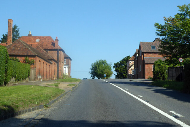
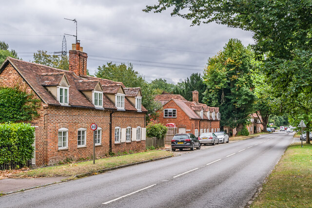
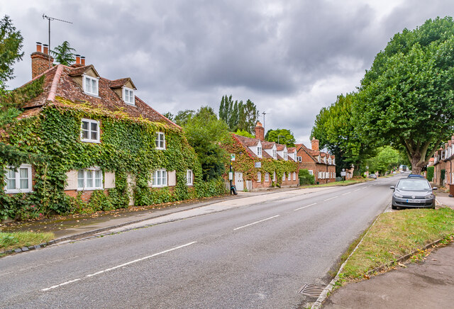
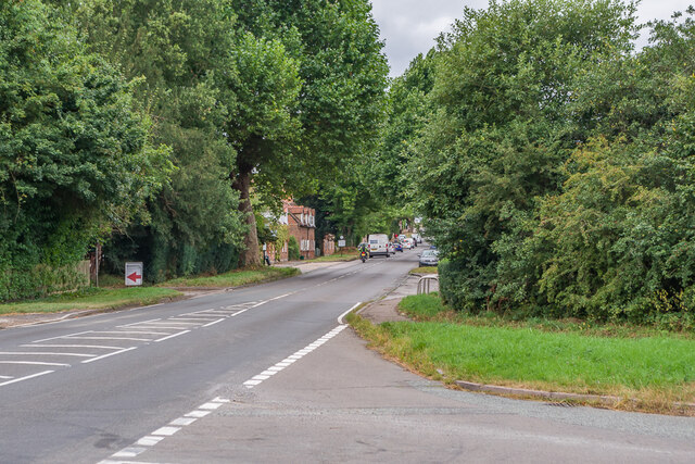
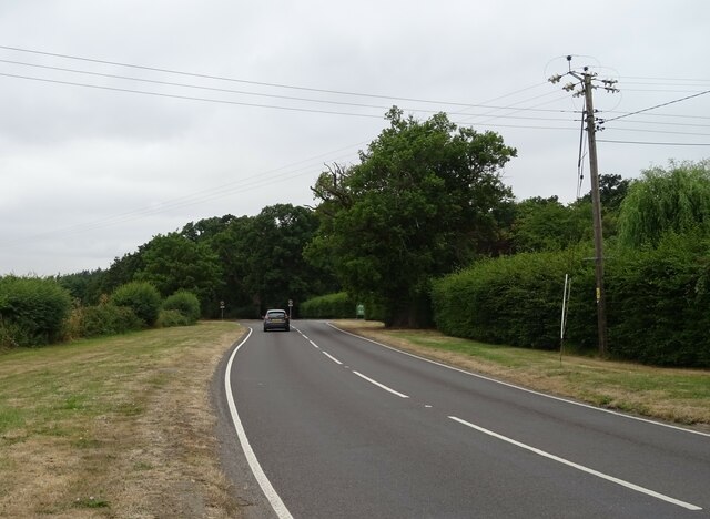
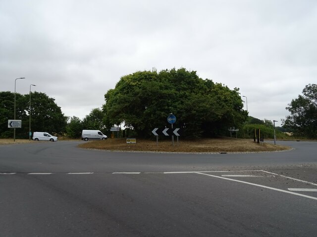
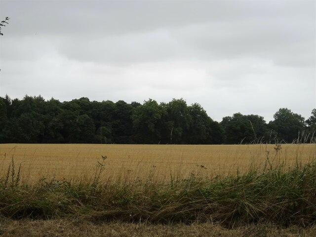
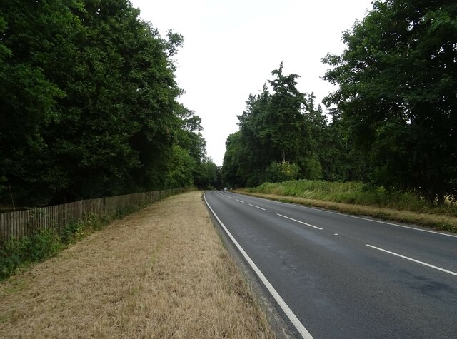
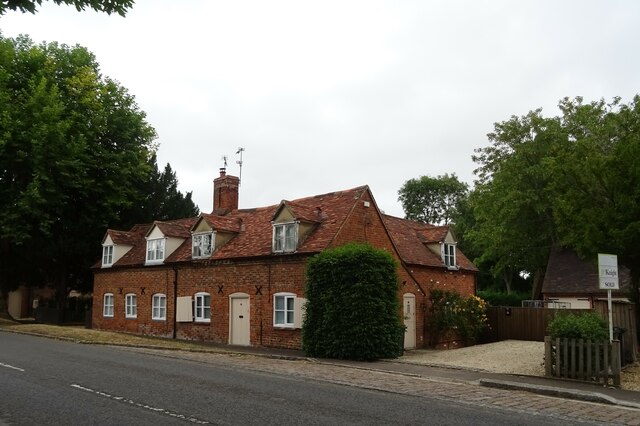
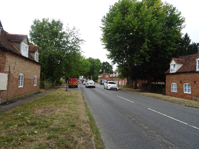
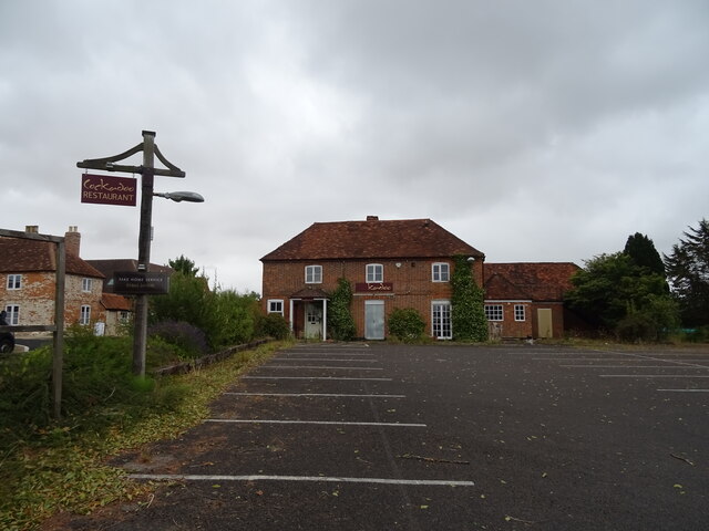
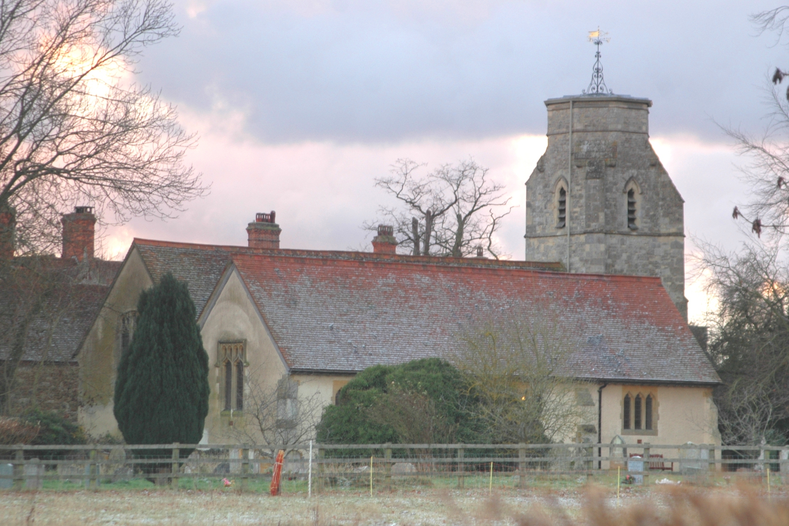
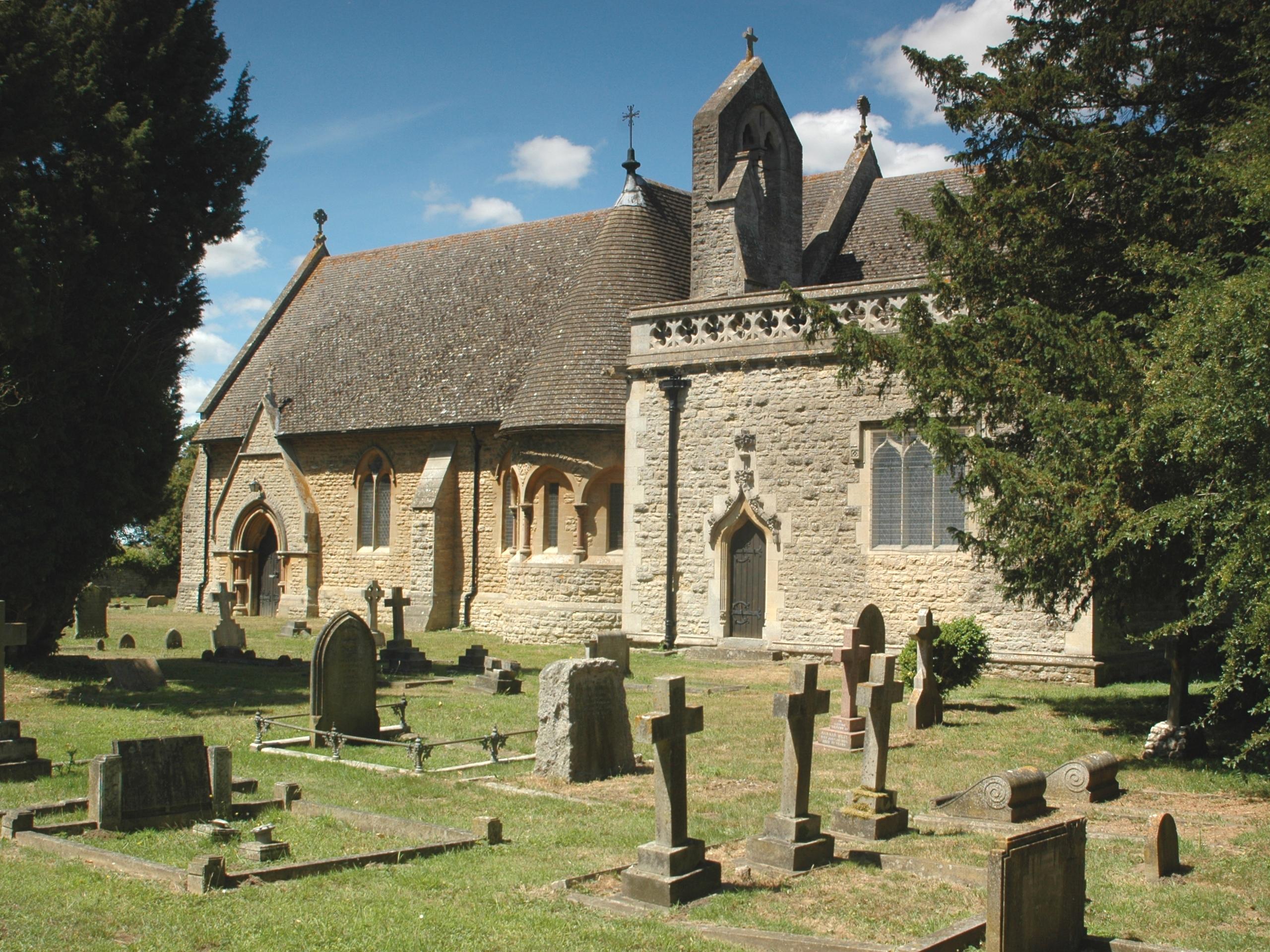
Sands Corner Copse Images
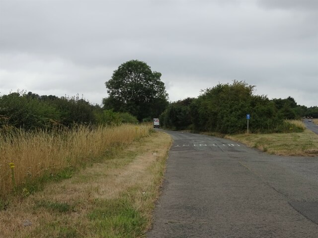
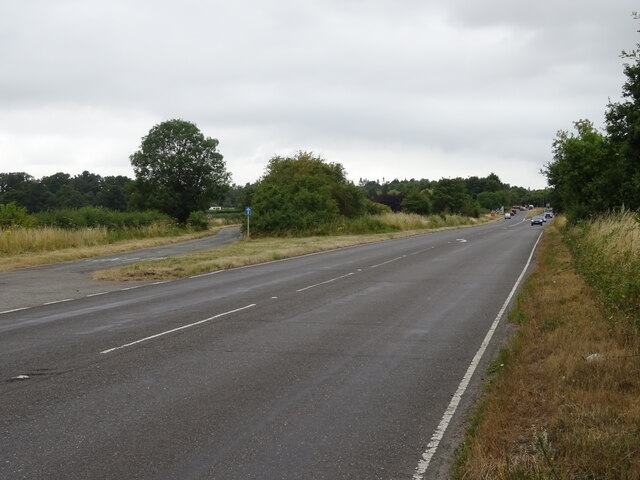
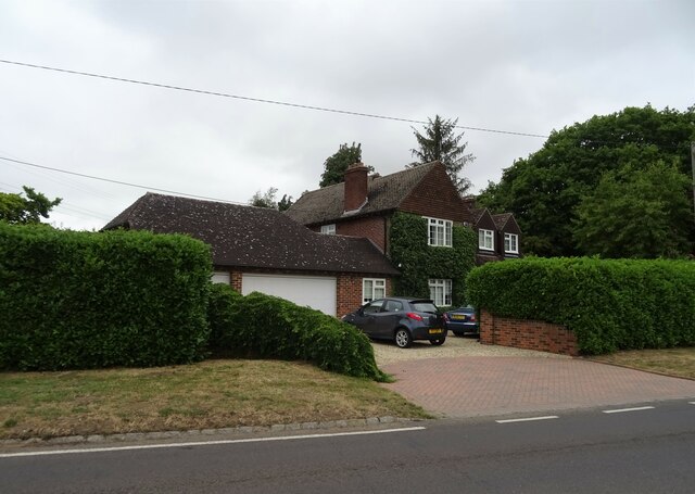
Images are sourced within 2km of 51.681454/-1.1901835 or Grid Reference SU5698. Thanks to Geograph Open Source API. All images are credited.


Sands Corner Copse is located at Grid Ref: SU5698 (Lat: 51.681454, Lng: -1.1901835)
Administrative County: Oxfordshire
District: South Oxfordshire
Police Authority: Thames Valley
What 3 Words
///forget.marketing.remove. Near Radley, Oxfordshire
Nearby Locations
Related Wikis
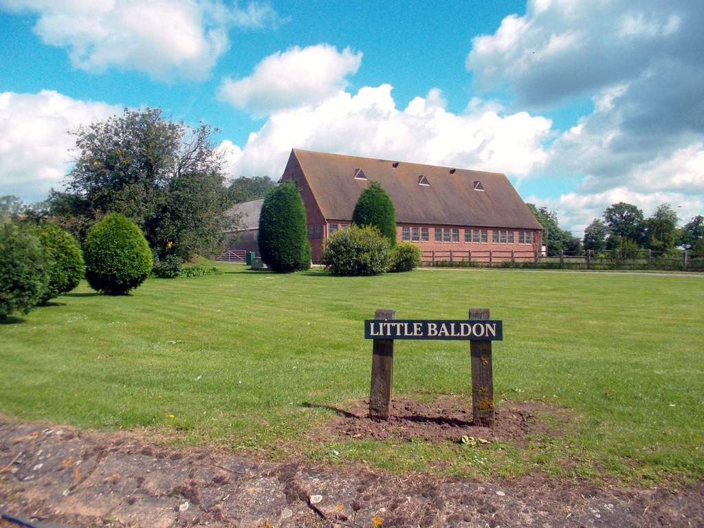
Little Baldon
Little Baldon is a hamlet in the Marsh Baldon civil parish, about 5 miles (8 km) southeast of Oxford in Oxfordshire, south of Marsh Baldon and west of...

Harcourt Arboretum
Harcourt Arboretum is an arboretum owned and run by the University of Oxford. It is a satellite of the university's botanic garden in the city of Oxford...

Culham Rural District
Culham was a rural district in Oxfordshire, England, from 1894 to 1932. It was formed under the Local Government Act 1894 from the part of the Abingdon...

Little Baldon air crash
The Little Baldon air crash occurred on 6 July 1965 when a Handley Page Hastings C1A transport aircraft operated by No. 36 Squadron Royal Air Force, registration...

Baldon Row
Baldon Row is a hamlet in Toot Baldon civil parish, about 5 miles (8.0 km) southeast of Oxford in Oxfordshire. == External links == Media related to Baldon...
Baldons
Baldons is a joint parish council area covering the civil parishes of Toot Baldon and Marsh Baldon, in the South Oxfordshire district about 5 miles (8...
Marsh Baldon
Marsh Baldon is a village and civil parish about 5 miles (8 km) southeast of Oxford in Oxfordshire. Since 2012 it has been part of the Baldons joint parish...
Nuneham Courtenay
Nuneham Courtenay is a village and civil parish about 5 miles (8 km) SSE of Oxford. It occupies several miles close to the east bank of the River Thames...
Nearby Amenities
Located within 500m of 51.681454,-1.1901835Have you been to Sands Corner Copse?
Leave your review of Sands Corner Copse below (or comments, questions and feedback).