Marsh Baldon
Civil Parish in Oxfordshire South Oxfordshire
England
Marsh Baldon
Marsh Baldon is a civil parish located in the county of Oxfordshire, England. It is situated approximately 6 miles southeast of the city of Oxford. The parish covers an area of around 5.8 square kilometers and is bordered by the River Thame to the east.
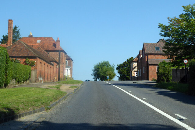
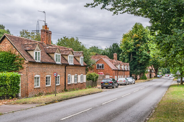
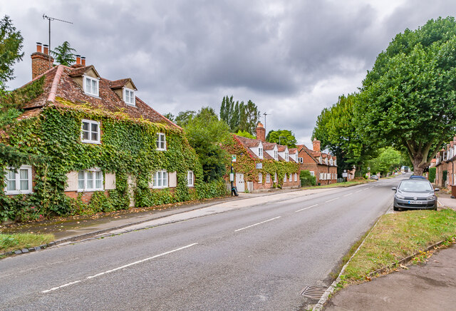
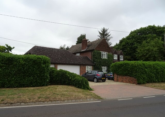
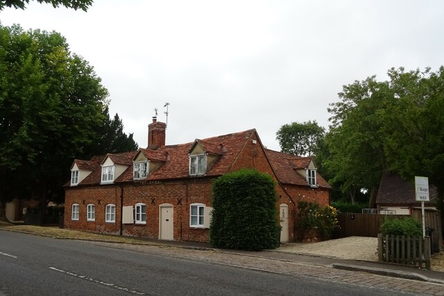
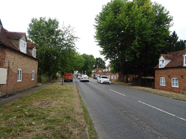
The village of Marsh Baldon is the main settlement within the parish. It is a small, picturesque village with a population of around 300 people. The village is known for its charming thatched cottages, historic buildings, and tranquil rural setting.
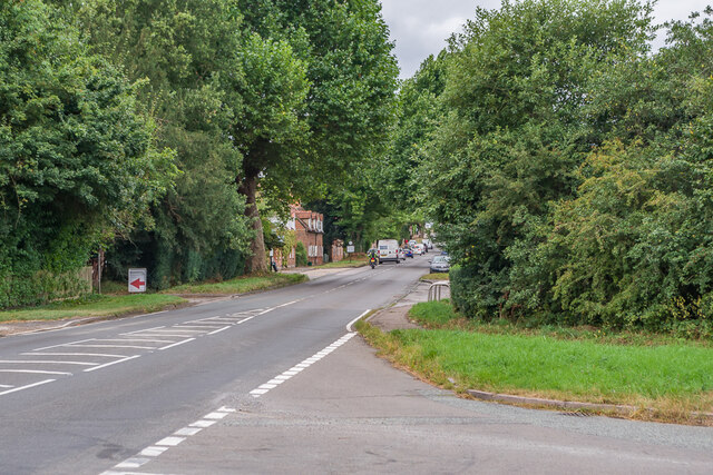
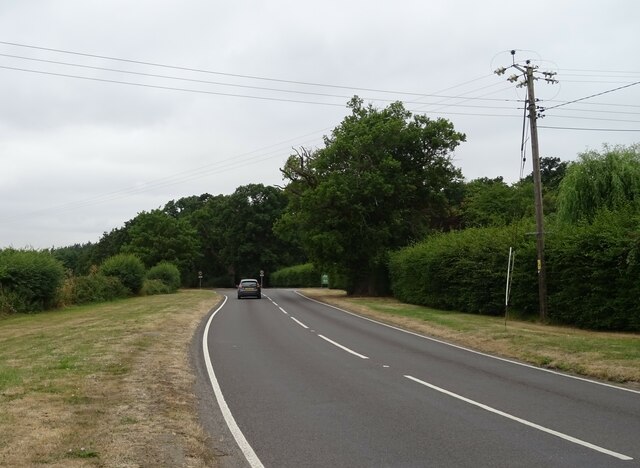
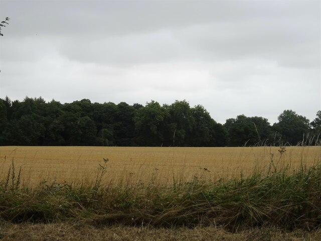
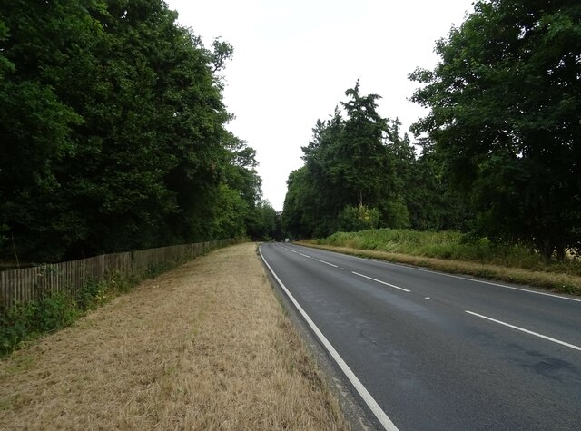
Marsh Baldon is surrounded by beautiful countryside, with rolling hills, farmland, and woodlands. The area is popular among walkers and nature enthusiasts, with numerous footpaths and trails that provide stunning views of the landscape.
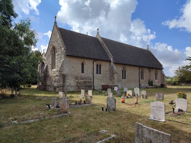
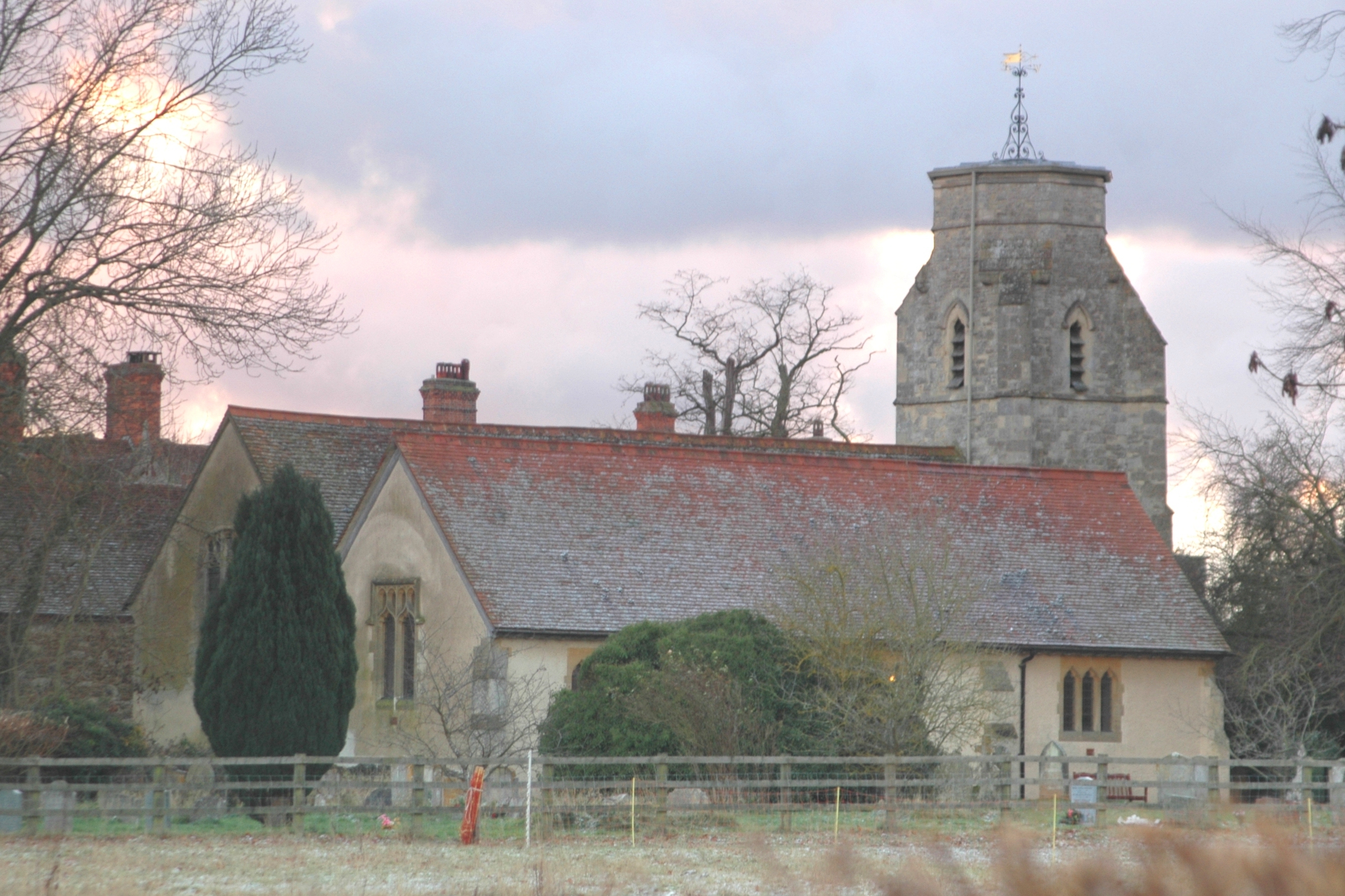
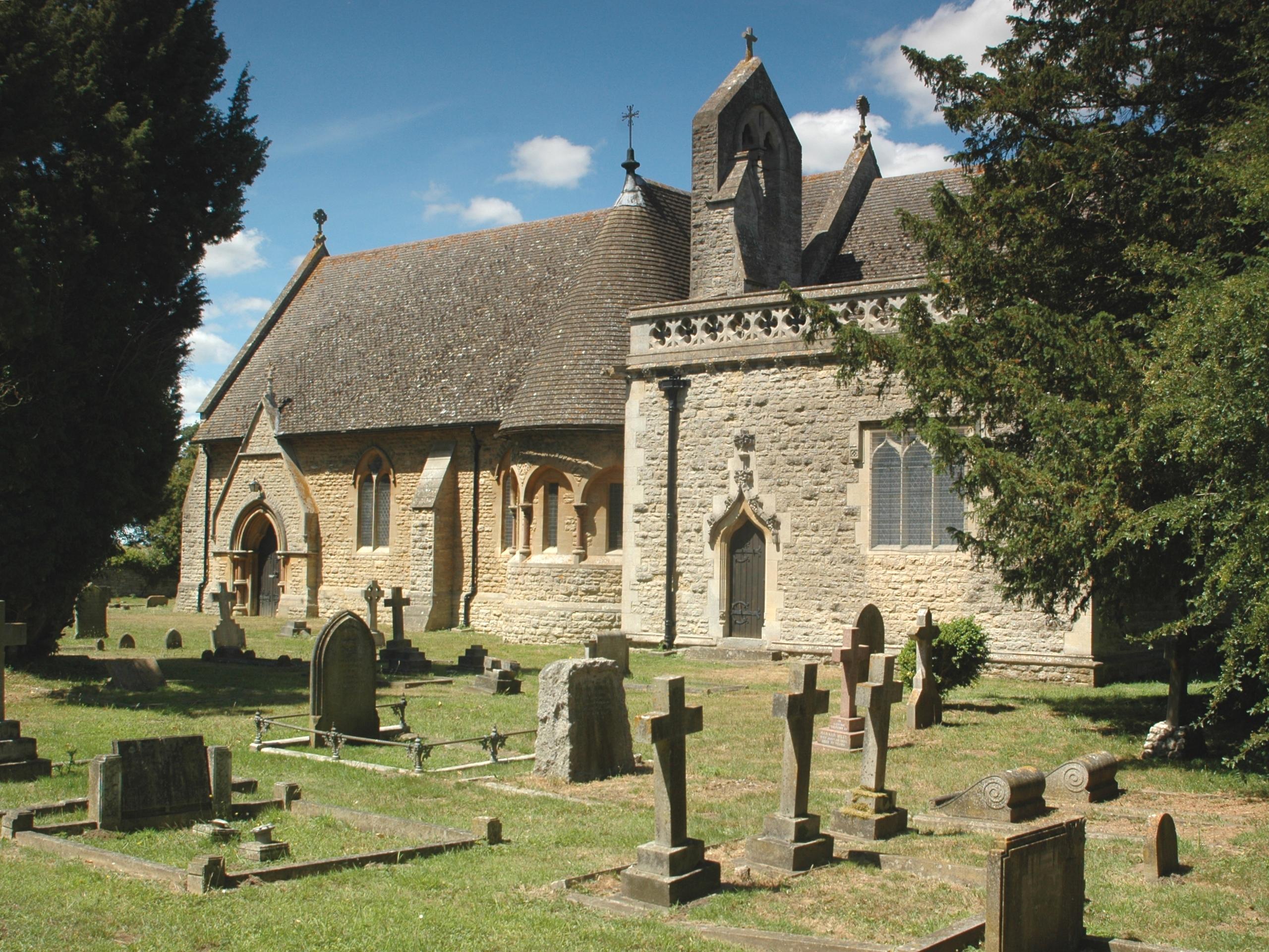
The village has a rich history, dating back to the medieval period. It was mentioned in the Domesday Book of 1086 and has several listed buildings, including the Church of St. Peter and St. Paul, which dates back to the 12th century. The church is a prominent feature of the village and is known for its impressive stained glass windows.
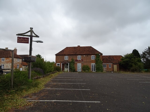
Despite its small size, Marsh Baldon has a strong sense of community. The village has a primary school, a village hall, and a local pub, which serves as a social hub for residents. The parish also hosts various events and activities throughout the year, bringing the community together.
Overall, Marsh Baldon offers a peaceful and idyllic countryside living, with its historic charm, natural beauty, and close-knit community.
If you have any feedback on the listing, please let us know in the comments section below.
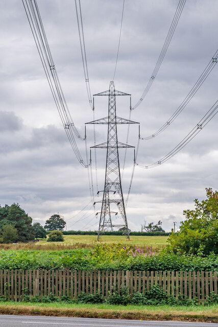
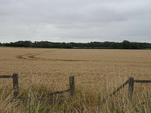
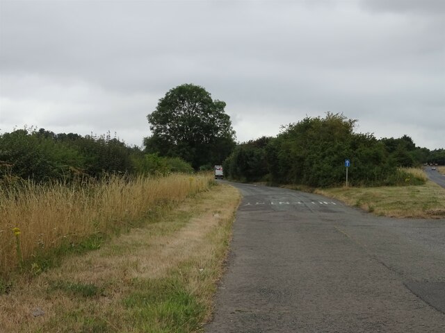
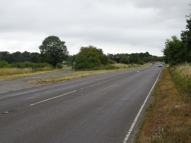
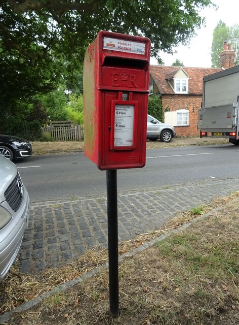
Marsh Baldon Images
Images are sourced within 2km of 51.683864/-1.181634 or Grid Reference SU5698. Thanks to Geograph Open Source API. All images are credited.
Marsh Baldon is located at Grid Ref: SU5698 (Lat: 51.683864, Lng: -1.181634)
Administrative County: Oxfordshire
District: South Oxfordshire
Police Authority: Thames Valley
What 3 Words
///scouting.instead.spruced. Near Garsington, Oxfordshire
Nearby Locations
Related Wikis
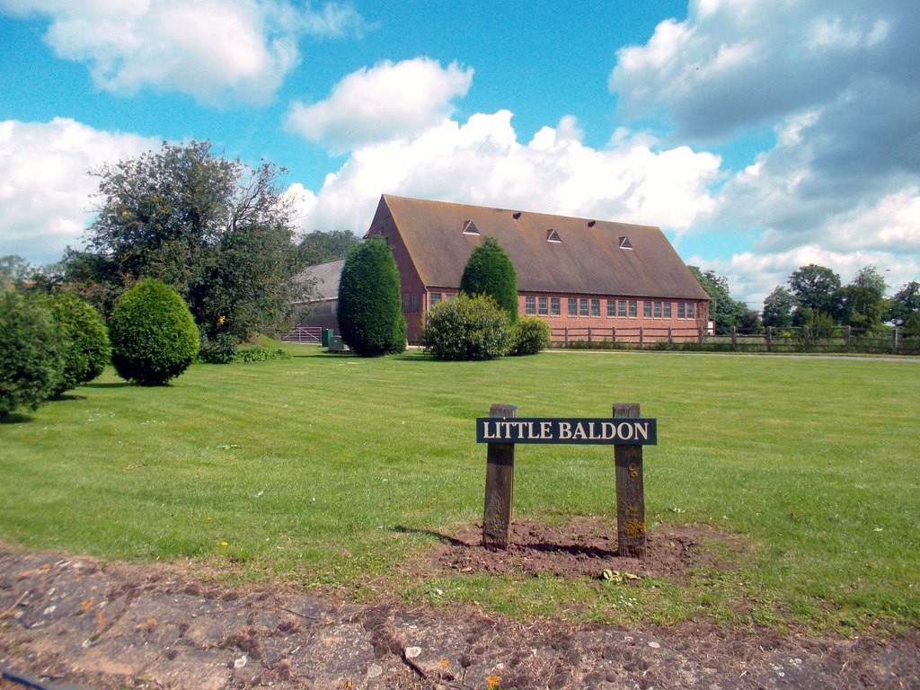
Little Baldon
Little Baldon is a hamlet in the Marsh Baldon civil parish, about 5 miles (8 km) southeast of Oxford in Oxfordshire, south of Marsh Baldon and west of...
Marsh Baldon
Marsh Baldon is a village and civil parish about 5 miles (8 km) southeast of Oxford in Oxfordshire. Since 2012 it has been part of the Baldons joint parish...

Little Baldon air crash
The Little Baldon air crash occurred on 6 July 1965 when a Handley Page Hastings C1A transport aircraft operated by No. 36 Squadron Royal Air Force, registration...

Baldon Row
Baldon Row is a hamlet in Toot Baldon civil parish, about 5 miles (8.0 km) southeast of Oxford in Oxfordshire. == External links == Media related to Baldon...
Baldons
Baldons is a joint parish council area covering the civil parishes of Toot Baldon and Marsh Baldon, in the South Oxfordshire district about 5 miles (8...

Culham Rural District
Culham was a rural district in Oxfordshire, England, from 1894 to 1932. It was formed under the Local Government Act 1894 from the part of the Abingdon...

Harcourt Arboretum
Harcourt Arboretum is an arboretum owned and run by the University of Oxford. It is a satellite of the university's botanic garden in the city of Oxford...
Nuneham Courtenay
Nuneham Courtenay is a village and civil parish about 5 miles (8 km) SSE of Oxford. It occupies several miles close to the east bank of the River Thames...
Nearby Amenities
Located within 500m of 51.683864,-1.181634Have you been to Marsh Baldon?
Leave your review of Marsh Baldon below (or comments, questions and feedback).