Hanginglands Copse
Wood, Forest in Oxfordshire South Oxfordshire
England
Hanginglands Copse
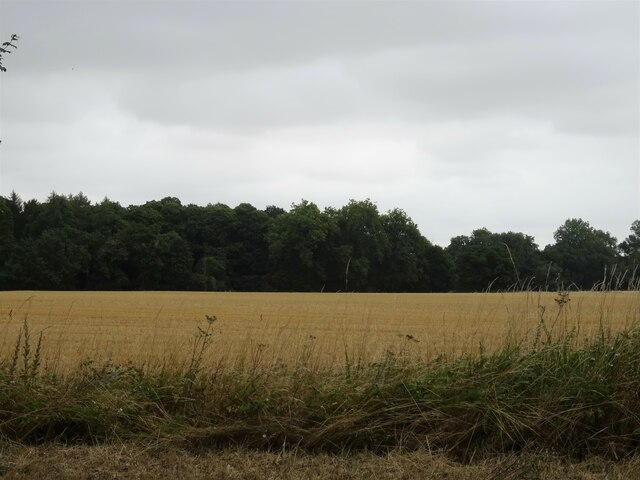
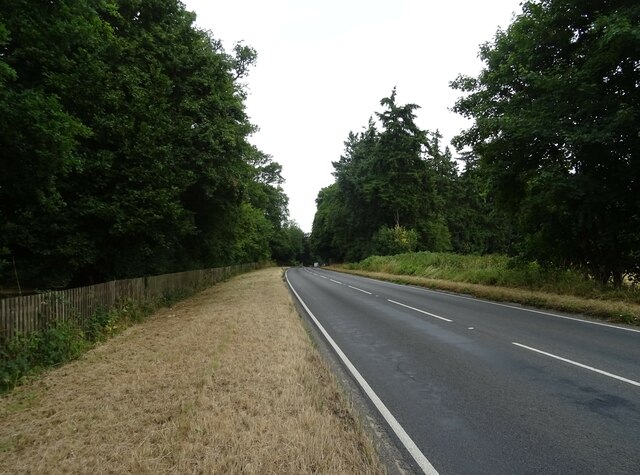
Hanginglands Copse is a picturesque woodland located in Oxfordshire, England. Spanning approximately 20 acres, this ancient forest is situated on the outskirts of the village of Hanginglands, nestled amidst the rolling hills and meandering streams of the county.
The copse is characterized by its dense canopy of towering oak, beech, and ash trees, which provide a stunning backdrop of vibrant green foliage throughout the year. The forest floor is adorned with a rich tapestry of wildflowers, including bluebells, primroses, and wood anemones, creating a breathtaking display of colors in the springtime.
Tranquility and serenity are the hallmarks of Hanginglands Copse, making it a popular destination for nature enthusiasts and hikers seeking solace in the beauty of the outdoors. A network of well-maintained footpaths winds its way through the woodland, offering visitors the opportunity to explore its hidden nooks and crannies.
The copse is also home to a diverse array of wildlife, with numerous bird species, such as woodpeckers, warblers, and owls, making their nests among the branches. Squirrels scurry through the treetops, while badgers and deer can occasionally be spotted foraging amongst the undergrowth.
Hanginglands Copse has a rich history, with evidence of human habitation dating back centuries. The forest has been carefully managed over the years, with sustainable forestry practices ensuring the preservation of its natural beauty.
Overall, Hanginglands Copse is a true haven for nature lovers, offering a tranquil escape from the hustle and bustle of everyday life. Its breathtaking scenery, diverse wildlife, and rich history make it a truly special place to visit in Oxfordshire.
If you have any feedback on the listing, please let us know in the comments section below.
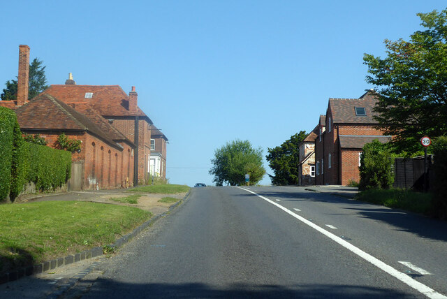
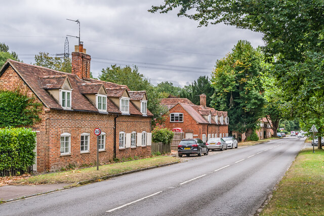
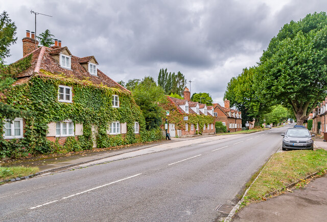
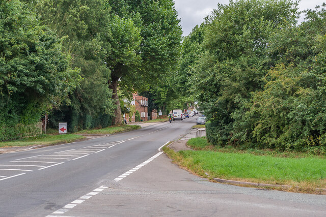
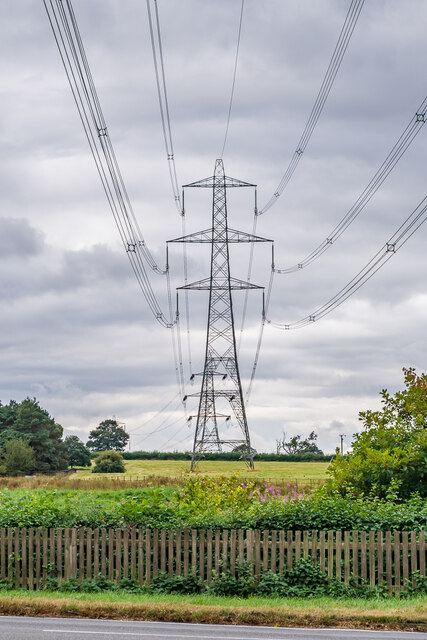
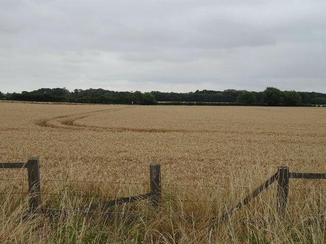
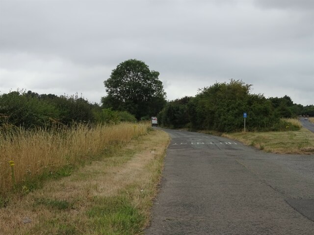
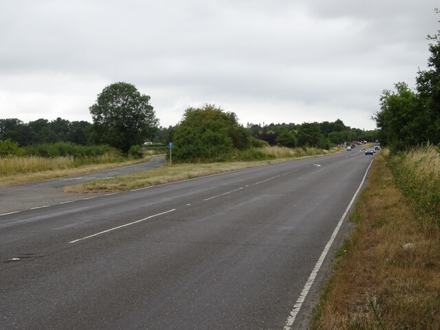
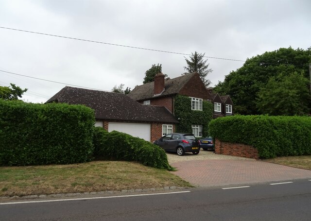
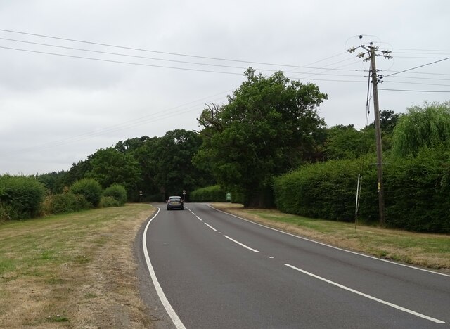
Hanginglands Copse Images
Images are sourced within 2km of 51.67832/-1.1894873 or Grid Reference SU5698. Thanks to Geograph Open Source API. All images are credited.


Hanginglands Copse is located at Grid Ref: SU5698 (Lat: 51.67832, Lng: -1.1894873)
Administrative County: Oxfordshire
District: South Oxfordshire
Police Authority: Thames Valley
What 3 Words
///goose.highlight.outs. Near Radley, Oxfordshire
Nearby Locations
Related Wikis
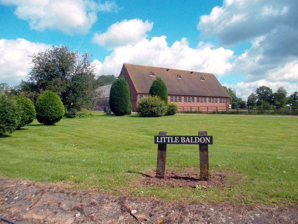
Little Baldon
Little Baldon is a hamlet in the Marsh Baldon civil parish, about 5 miles (8 km) southeast of Oxford in Oxfordshire, south of Marsh Baldon and west of...

Culham Rural District
Culham was a rural district in Oxfordshire, England, from 1894 to 1932. It was formed under the Local Government Act 1894 from the part of the Abingdon...

Little Baldon air crash
The Little Baldon air crash occurred on 6 July 1965 when a Handley Page Hastings C1A transport aircraft operated by No. 36 Squadron Royal Air Force, registration...

Harcourt Arboretum
Harcourt Arboretum is an arboretum owned and run by the University of Oxford. It is a satellite of the university's botanic garden in the city of Oxford...

Baldon Row
Baldon Row is a hamlet in Toot Baldon civil parish, about 5 miles (8.0 km) southeast of Oxford in Oxfordshire. == External links == Media related to Baldon...
Baldons
Baldons is a joint parish council area covering the civil parishes of Toot Baldon and Marsh Baldon, in the South Oxfordshire district about 5 miles (8...
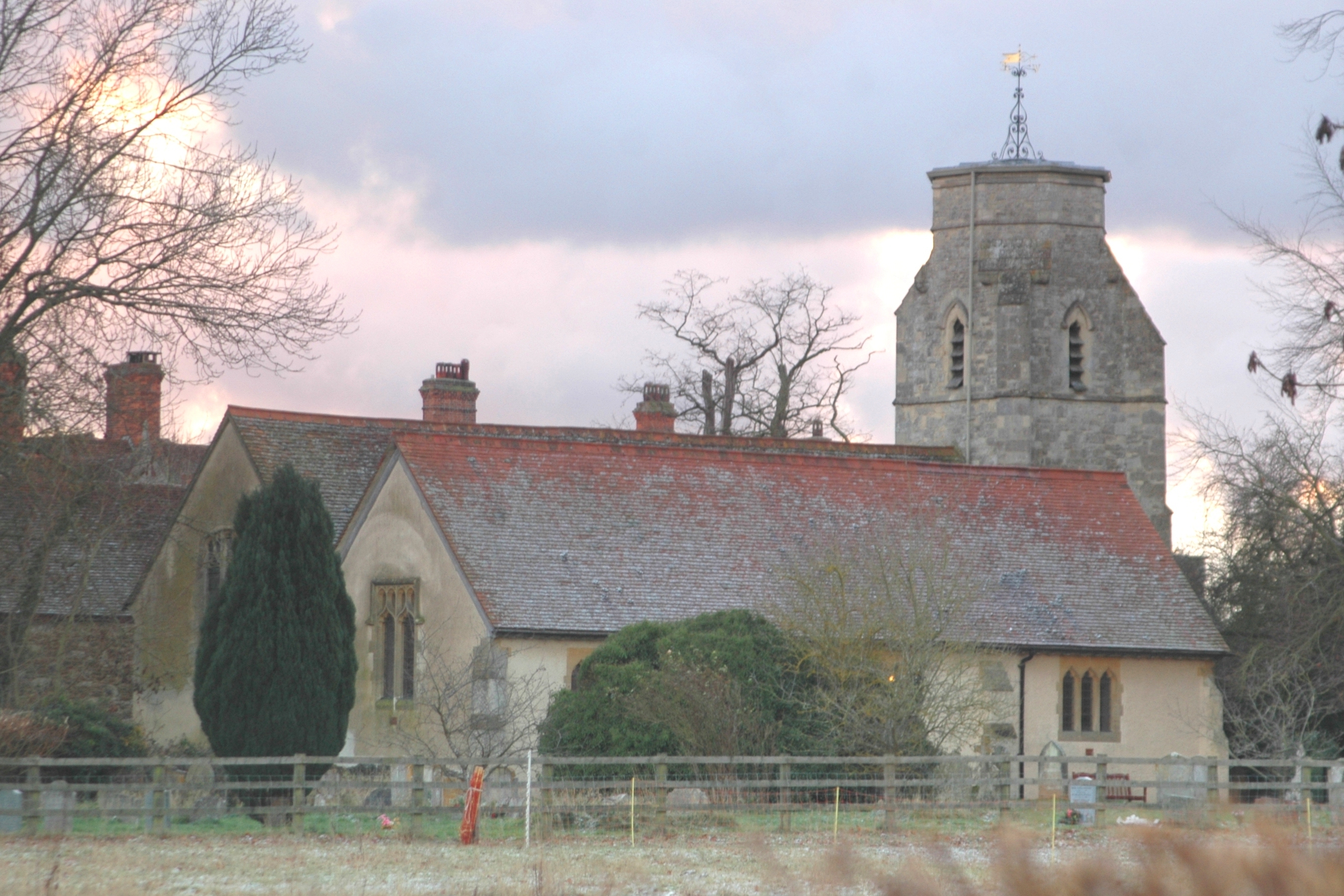
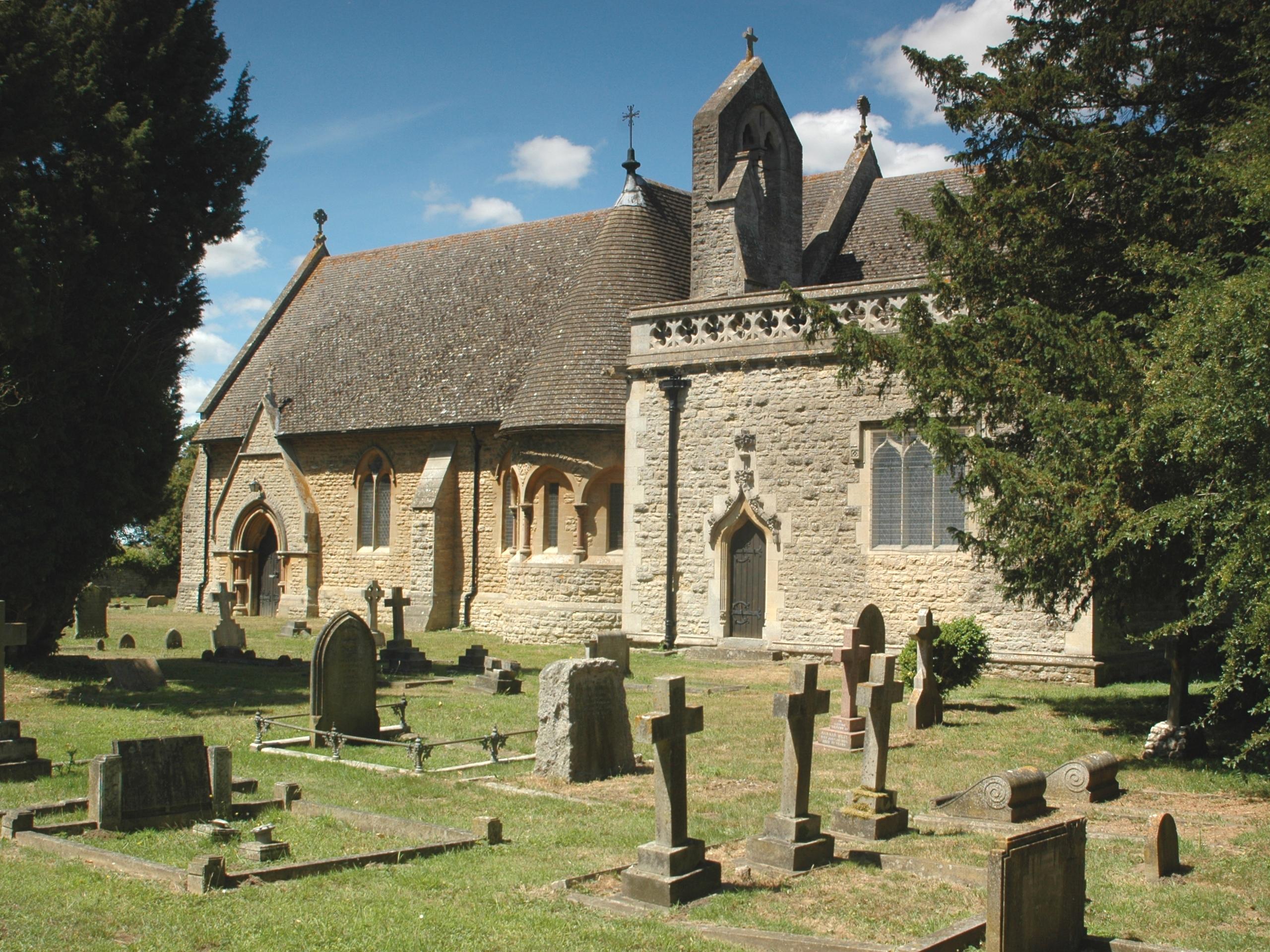
Marsh Baldon
Marsh Baldon is a village and civil parish about 5 miles (8 km) southeast of Oxford in Oxfordshire. Since 2012 it has been part of the Baldons joint parish...
Nuneham Courtenay
Nuneham Courtenay is a village and civil parish about 5 miles (8 km) SSE of Oxford. It occupies several miles close to the east bank of the River Thames...
Nearby Amenities
Located within 500m of 51.67832,-1.1894873Have you been to Hanginglands Copse?
Leave your review of Hanginglands Copse below (or comments, questions and feedback).