New Close Copse

Wood, Forest in Oxfordshire South Oxfordshire

England

New Close Copse

Hilltop buildings, Nuneham Courtney On the A4074 at the north end of the village.
Hilltop buildings, Nuneham Courtney Credit: Robin Webster

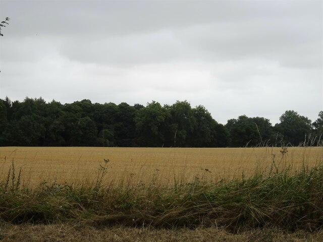
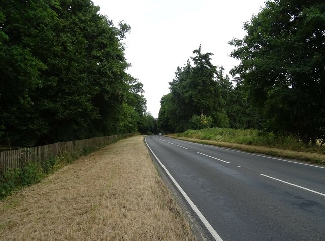
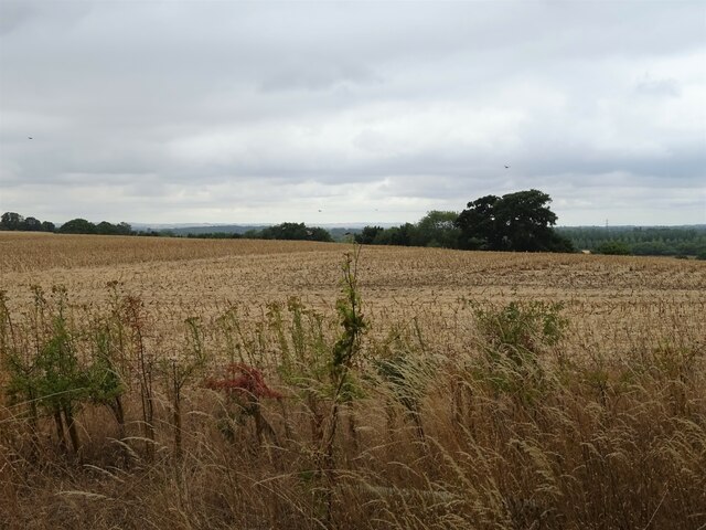
New Close Copse is a picturesque woodland located in Oxfordshire, England. Covering an area of approximately 20 acres, it is a stunning example of a traditional British woodland. The copse is predominantly composed of deciduous trees, such as oak, beech, and ash, which create a beautiful canopy overhead and provide a rich habitat for a variety of flora and fauna.

The woodland floor is adorned with a carpet of bluebells in the spring, creating a breathtaking sight. Additionally, wildflowers such as primroses, foxgloves, and wood anemones can be found scattered throughout the copse, adding to its natural beauty.

New Close Copse is also home to a diverse range of wildlife. Bird enthusiasts can spot species such as woodpeckers, nuthatches, and tawny owls, while small mammals like rabbits, squirrels, and hedgehogs can often be seen scurrying among the undergrowth. The copse is also known to be inhabited by several species of bats, which can be observed at dusk as they flutter through the trees.

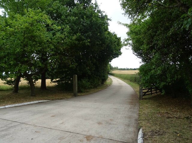
The copse is a popular destination for nature lovers and walkers, who can enjoy the tranquil atmosphere and stunning scenery. Several footpaths wind their way through the wood, providing visitors with the opportunity to explore its hidden corners and discover its natural wonders.

Overall, New Close Copse is a truly enchanting woodland, offering a peaceful retreat from the hustle and bustle of everyday life and providing a haven for both wildlife and nature enthusiasts alike.

If you have any feedback on the listing, please let us know in the comments section below.

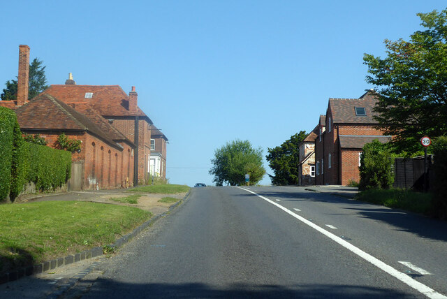
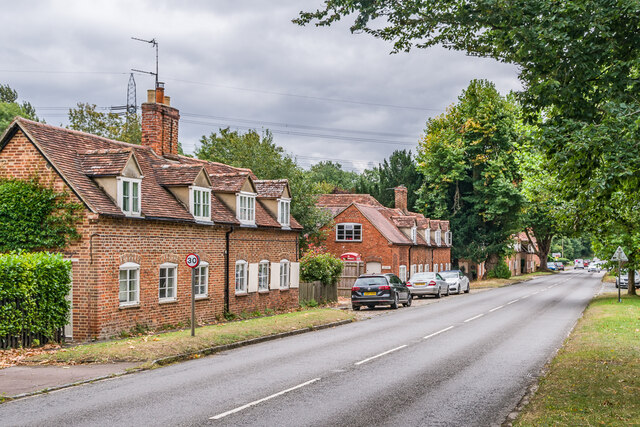
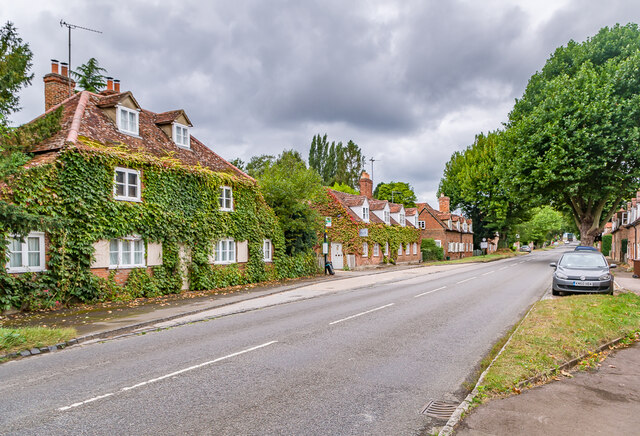
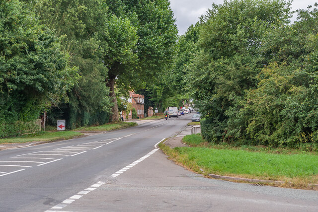
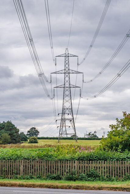
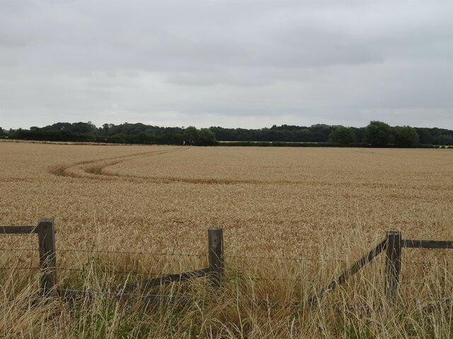
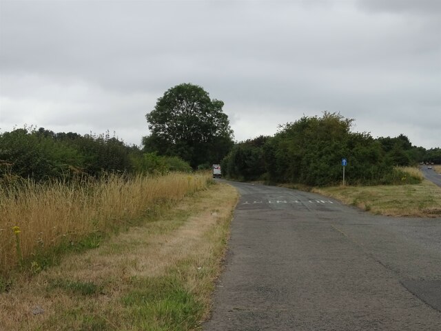
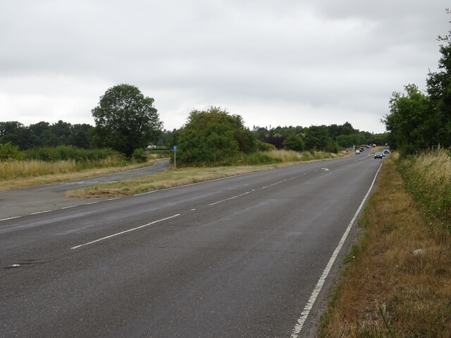
New Close Copse Images

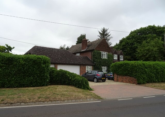
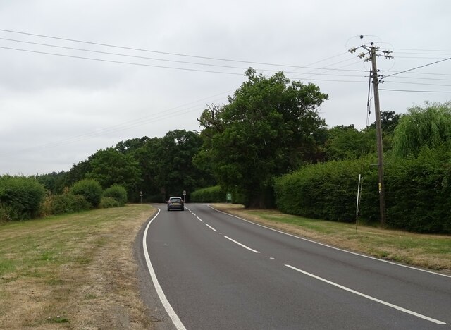
Images are sourced within 2km of 51.684648/-1.185382 or Grid Reference SU5698. Thanks to Geograph Open Source API. All images are credited.

Hilltop buildings, Nuneham Courtney On the A4074 at the north end of the village.
Hilltop buildings, Nuneham Courtney
On the A4074 at the north end of the village.
Nuneham Courtenay Mid 18th Century cottages on the A4074 through Nuneham Courtenay, built as part of a replacement village by the 1st Earl Harcourt when he built Nuneham House in around 1760, demolishing the old village to make way for the house and landscaped grounds.  The two buildings here, nos 29 & 30 (nearest) and nos 30A & 31 (beyond, with no 30A being the former post office) are both grade II listed - see <span class="nowrap"><a title="https://historicengland.org.uk/listing/the-list/list-entry/1368712?section=official-list-entry" rel="nofollow ugc noopener" href="https://historicengland.org.uk/listing/the-list/list-entry/1368712?section=official-list-entry">Link</a><img style="margin-left:2px;" alt="External link" title="External link - shift click to open in new window" src="https://s1.geograph.org.uk/img/external.png" width="10" height="10"/></span> and <span class="nowrap"><a title="https://historicengland.org.uk/listing/the-list/list-entry/1048036?section=official-list-entry" rel="nofollow ugc noopener" href="https://historicengland.org.uk/listing/the-list/list-entry/1048036?section=official-list-entry">Link</a><img style="margin-left:2px;" alt="External link" title="External link - shift click to open in new window" src="https://s1.geograph.org.uk/img/external.png" width="10" height="10"/></span> respectively - as are most of the buildings in the village.
Nuneham Courtenay
Mid 18th Century cottages on the A4074 through Nuneham Courtenay, built as part of a replacement village by the 1st Earl Harcourt when he built Nuneham House in around 1760, demolishing the old village to make way for the house and landscaped grounds. The two buildings here, nos 29 & 30 (nearest) and nos 30A & 31 (beyond, with no 30A being the former post office) are both grade II listed - see LinkExternal link and LinkExternal link respectively - as are most of the buildings in the village.
Nuneham Courtenay Mid 18th Century cottages on the A4074 through Nuneham Courtenay, built as part of a replacement village by the 1st Earl Harcourt when he built Nuneham House in around 1760, demolishing the old village to make way for the house and landscaped grounds.  The three buildings here, nos 1 & 2 (nearest), then nos 3 & 4 and then nos 5 & 6 (beyond) are all grade II listed - see <span class="nowrap"><a title="https://historicengland.org.uk/listing/the-list/list-entry/1048044?section=official-list-entry," rel="nofollow ugc noopener" href="https://historicengland.org.uk/listing/the-list/list-entry/1048044?section=official-list-entry,">Link</a><img style="margin-left:2px;" alt="External link" title="External link - shift click to open in new window" src="https://s1.geograph.org.uk/img/external.png" width="10" height="10"/></span> <span class="nowrap"><a title="https://historicengland.org.uk/listing/the-list/list-entry/1193400?section=official-list-entry" rel="nofollow ugc noopener" href="https://historicengland.org.uk/listing/the-list/list-entry/1193400?section=official-list-entry">Link</a><img style="margin-left:2px;" alt="External link" title="External link - shift click to open in new window" src="https://s1.geograph.org.uk/img/external.png" width="10" height="10"/></span> and <span class="nowrap"><a title="https://historicengland.org.uk/listing/the-list/list-entry/1048043?section=official-list-entry" rel="nofollow ugc noopener" href="https://historicengland.org.uk/listing/the-list/list-entry/1048043?section=official-list-entry">Link</a><img style="margin-left:2px;" alt="External link" title="External link - shift click to open in new window" src="https://s1.geograph.org.uk/img/external.png" width="10" height="10"/></span> respectively - as are most of the buildings in the village.
Nuneham Courtenay
Mid 18th Century cottages on the A4074 through Nuneham Courtenay, built as part of a replacement village by the 1st Earl Harcourt when he built Nuneham House in around 1760, demolishing the old village to make way for the house and landscaped grounds. The three buildings here, nos 1 & 2 (nearest), then nos 3 & 4 and then nos 5 & 6 (beyond) are all grade II listed - see LinkExternal link LinkExternal link and LinkExternal link respectively - as are most of the buildings in the village.
Nuneham Courtenay Road junction onto the A4074 at the southern end of Nuneham Courtenay.
Nuneham Courtenay
Road junction onto the A4074 at the southern end of Nuneham Courtenay.
Pylons Pylons carrying transmission lines south of Nuneham Courtenay.
Pylons
Pylons carrying transmission lines south of Nuneham Courtenay.
Cereal crop, Golden Balls Off the A4074.
Cereal crop, Golden Balls
Off the A4074.
Minor road towards Golden Balls
A4074, Golden Balls Towards Oxford.
A4074, Golden Balls
Towards Oxford.
House on Oxford Road, Golden Balls
Oxford Road (B4015), Golden Balls Towards Clifton Hampden.
Oxford Road (B4015), Golden Balls
Towards Clifton Hampden.
Roundabout on the A4074, Golden Balls
Stubble field and woodland, Marsh Baldon Off the A4074.
Stubble field and woodland, Marsh Baldon
Off the A4074.
A4074, Marsh Baldon Towards Oxford.
A4074, Marsh Baldon
Towards Oxford.
Cottages, Nuneham, Courtenay On the A4074.
Cottages, Nuneham, Courtenay
On the A4074.
A4074, Nuneham, Courtenay Towards Oxford.
A4074, Nuneham, Courtenay
Towards Oxford.
Former Cockadoo Restaurant, Nuneham, Courtenay Was once the Harcourt Arms public house.
Former Cockadoo Restaurant, Nuneham, Courtenay
Was once the Harcourt Arms public house.
Stubble field off the A4074 near Nuneham, Courtenay
Road to Ninveh Farm Off the A4074.
Road to Ninveh Farm
Off the A4074.
Show me another place!

New Close Copse is located at Grid Ref: SU5698 (Lat: 51.684648, Lng: -1.185382)

Administrative County: Oxfordshire

District: South Oxfordshire

Police Authority: Thames Valley

What 3 Words

///birdcage.jiffy.river. Near Radley, Oxfordshire

Related Wikis

Marsh Baldon

Marsh Baldon is a village and civil parish about 5 miles (8 km) southeast of Oxford in Oxfordshire. Since 2012 it has been part of the Baldons joint parish...

Baldon Row

Baldon Row is a hamlet in Toot Baldon civil parish, about 5 miles (8.0 km) southeast of Oxford in Oxfordshire. == External links == Media related to Baldon...

Baldons

Baldons is a joint parish council area covering the civil parishes of Toot Baldon and Marsh Baldon, in the South Oxfordshire district about 5 miles (8...
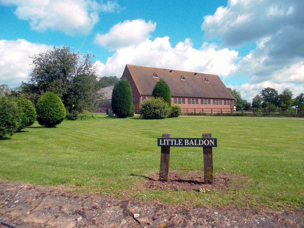
Little Baldon

Little Baldon is a hamlet in the Marsh Baldon civil parish, about 5 miles (8 km) southeast of Oxford in Oxfordshire, south of Marsh Baldon and west of...

Little Baldon air crash

The Little Baldon air crash occurred on 6 July 1965 when a Handley Page Hastings C1A transport aircraft operated by No. 36 Squadron Royal Air Force, registration...

Harcourt Arboretum

Harcourt Arboretum is an arboretum owned and run by the University of Oxford. It is a satellite of the university's botanic garden in the city of Oxford...

Culham Rural District

Culham was a rural district in Oxfordshire, England, from 1894 to 1932. It was formed under the Local Government Act 1894 from the part of the Abingdon...

Nuneham Courtenay

Nuneham Courtenay is a village and civil parish about 5 miles (8 km) SSE of Oxford. It occupies several miles close to the east bank of the River Thames...

Nearby Amenities

Located within 500m of 51.684648,-1.185382
Barrier: stile
Lat/Long: 51.6881339/-1.1893953
Barrier: stile
Lat/Long: 51.6881232/-1.1881078
Barrier: kissing_gate
Lat/Long: 51.6860799/-1.1839879
Barrier: kissing_gate
Lat/Long: 51.6861278/-1.1853355
Barrier: stile
Lat/Long: 51.6867557/-1.187301
Barrier: stile
Lat/Long: 51.6872878/-1.1873267
Barrier: stile
Lat/Long: 51.6890172/-1.1853956
Barrier: stile
Lat/Long: 51.6884062/-1.185101
Direction: 165
Generator Method: photovoltaic
Generator Output Electricity: yes
Generator Solar Modules: 64
Generator Source: solar
Generator Type: solar_photovoltaic_panel
Location: roof
Power: generator
Lat/Long: 51.6883703/-1.1818122
The data included in this document is from www.openstreetmap.org. The data is made available under ODbL.

Have you been to New Close Copse?

Leave your review of New Close Copse below (or comments, questions and feedback).