Vincent Plantation
Wood, Forest in Nottinghamshire Gedling
England
Vincent Plantation
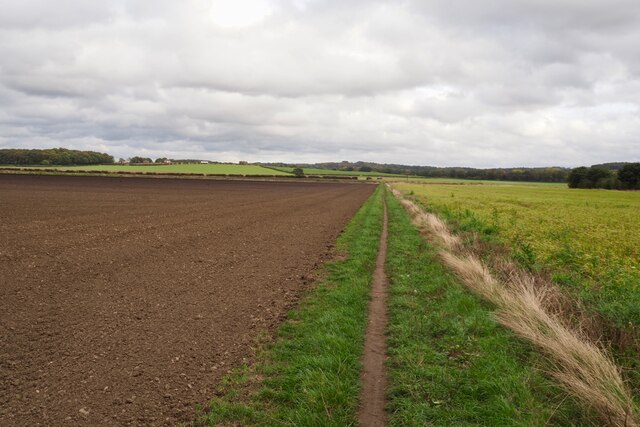
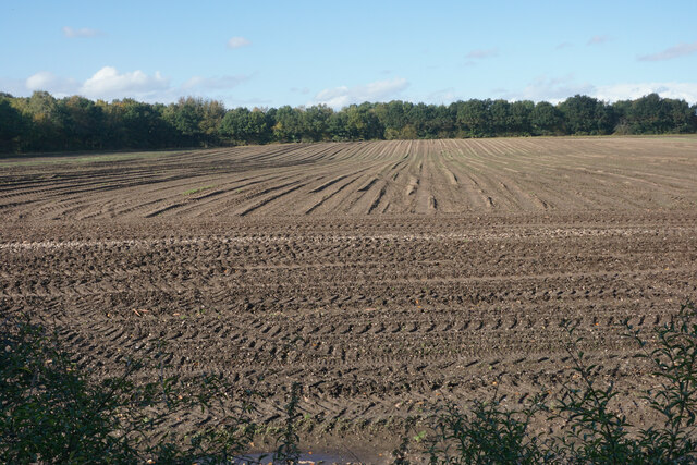
Vincent Plantation, located in Nottinghamshire, England, is a captivating woodland area renowned for its natural beauty and rich biodiversity. Spanning over a vast expanse, the plantation is nestled within the scenic landscape of Nottinghamshire, offering visitors a tranquil escape from the hustle and bustle of urban life.
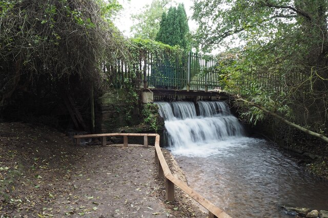
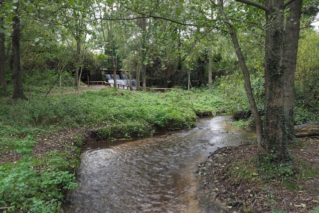
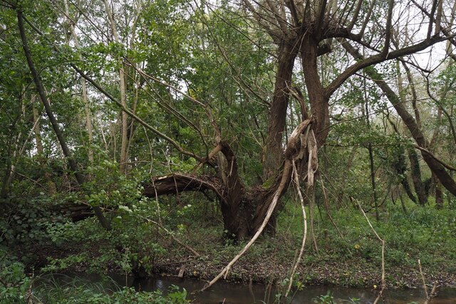
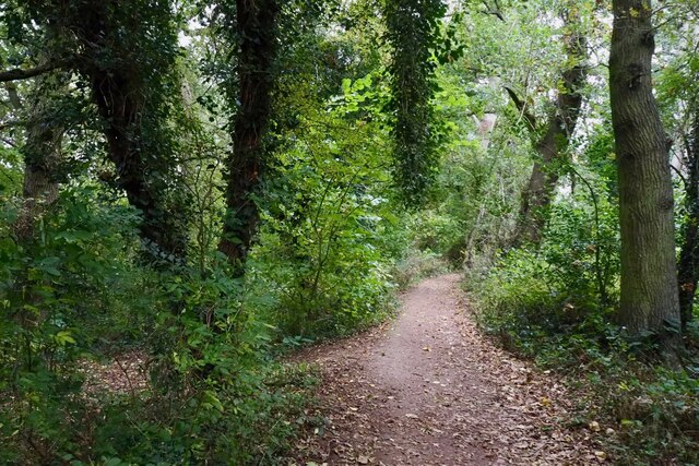
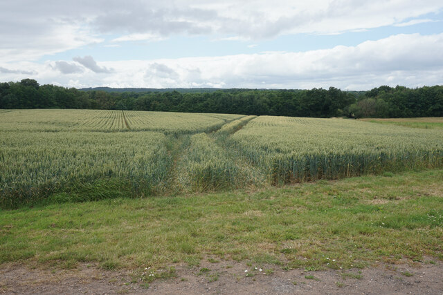
The woodland is predominantly characterized by its lush, dense forest cover, with towering trees providing shade and shelter to a diverse range of flora and fauna. The plantation boasts an impressive variety of tree species, including oak, beech, ash, and birch, which contribute to the vibrant colors that decorate the woodland throughout the seasons.
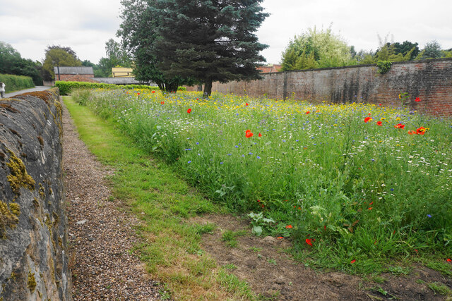
Nature enthusiasts and wildlife lovers flock to Vincent Plantation to observe its abundant wildlife population. The woodland is home to numerous species, including deer, foxes, badgers, and an array of bird species, making it a haven for birdwatchers and animal enthusiasts alike.
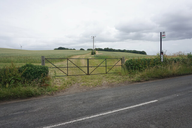
The plantation offers a network of well-maintained trails and pathways, allowing visitors to explore its natural wonders on foot or by bicycle. The serene atmosphere and lush surroundings make it an ideal location for hiking, picnicking, or simply immersing oneself in the tranquility of nature.
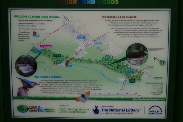
Vincent Plantation also plays a crucial role in conservation efforts, with various initiatives focused on preserving the area's natural heritage and protecting its unique ecosystem. Educational programs and guided tours are often organized to raise awareness about the importance of wildlife conservation and sustainability.
In summary, Vincent Plantation in Nottinghamshire stands as a mesmerizing woodland retreat, offering visitors the opportunity to reconnect with nature and experience the beauty of a diverse and thriving ecosystem.
If you have any feedback on the listing, please let us know in the comments section below.
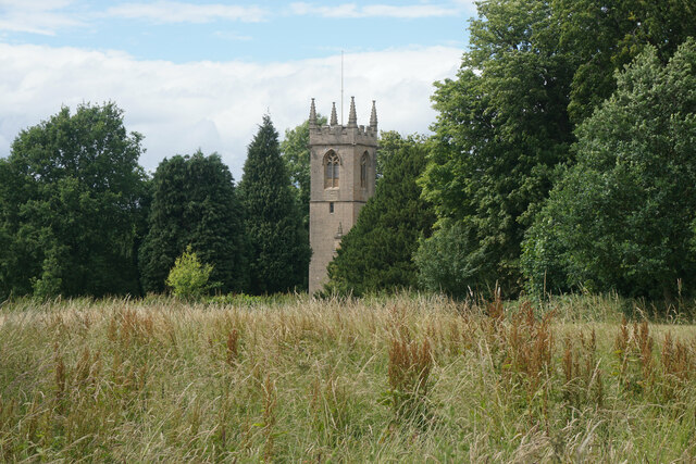
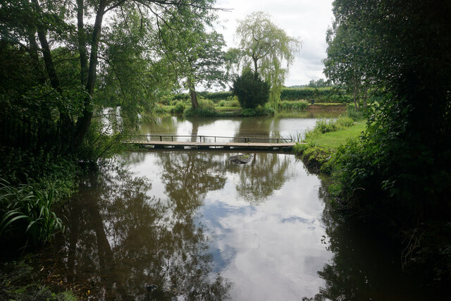
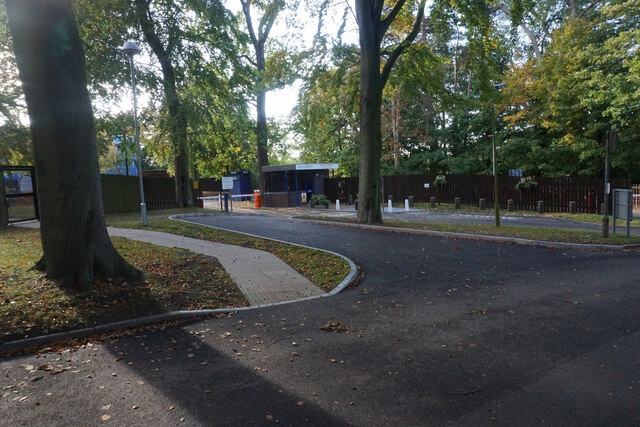
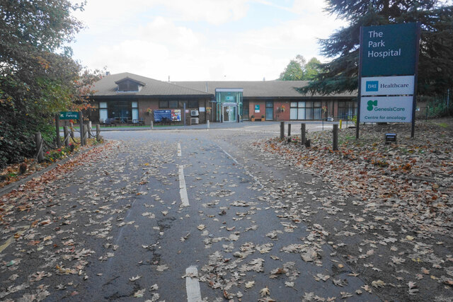
Vincent Plantation Images
Images are sourced within 2km of 53.053656/-1.1646872 or Grid Reference SK5651. Thanks to Geograph Open Source API. All images are credited.

Vincent Plantation is located at Grid Ref: SK5651 (Lat: 53.053656, Lng: -1.1646872)
Administrative County: Nottinghamshire
District: Gedling
Police Authority: Nottinghamshire
What 3 Words
///caravans.melt.asset. Near Hucknall, Nottinghamshire
Nearby Locations
Related Wikis

Papplewick
Papplewick is a village and civil parish in Nottinghamshire, England, 7.5 miles (12 km) north of Nottingham and 6 miles (10 km) south of Mansfield. It...

Papplewick Hall
Papplewick Hall is a Grade I listed English country house in Papplewick, Nottinghamshire. == History == It was completed around 1787 for the Hon. Frederick...

Hidden Valleys
Hidden Valleys is a name, coined in 2004, used to describe an area of interesting historical and scenic value between the city of Nottingham and the town...

Papplewick Pumping Station
Papplewick Pumping Station, situated in open agricultural land approximately 3 miles (4.8 km) by road from the Nottinghamshire village of Papplewick, was...
Linby
Linby is a small village and civil parish in Nottinghamshire, England. The nearest town is Hucknall which is immediately to the south-west. The village...

Hucknall station
Hucknall station, also formerly known as Hucknall Byron station, is a railway station and tram stop in Hucknall, Nottinghamshire, England. It is located...

Linby (Great Northern Railway) railway station
Linby (Great Northern Railway) was a railway station on the Great Northern Railway's Nottingham to Shirebrook line. == History == == Present day == No...

Linby railway station
Linby railway station was a station on what is now the Robin Hood Line. It was used predominantly to serve Linby Colliery. It shut in 1964. When the line...
Related Videos

Newstead Abbey Teaser Trailer - Hiking UK
Highlight of my recent hike that includes a quick visit to Newstead Abbey, full video to follow. LINK TO FULL VIDEO ...


Who leaving these here? #walking #hiking #pants
Watch the full length video - https://youtu.be/rkQkuxIoOy0.

Nearby Amenities
Located within 500m of 53.053656,-1.1646872Have you been to Vincent Plantation?
Leave your review of Vincent Plantation below (or comments, questions and feedback).