Papplewick
Civil Parish in Nottinghamshire Gedling
England
Papplewick
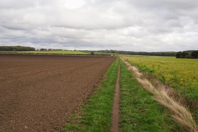
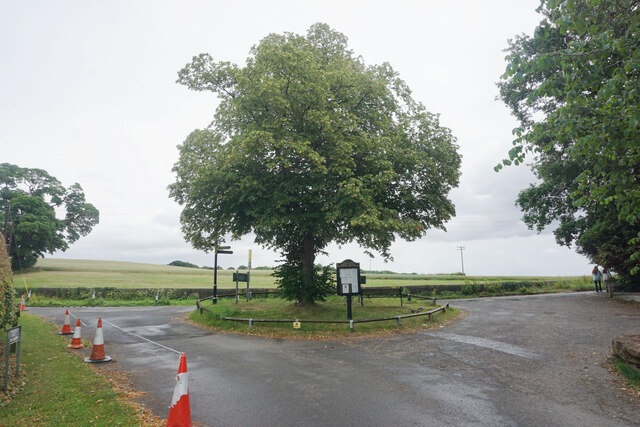
Papplewick is a civil parish located in the county of Nottinghamshire, England. Situated approximately seven miles north of the city of Nottingham, it is a small village with a population of around 1,500 residents. Papplewick is surrounded by picturesque countryside, offering a tranquil setting for its inhabitants.
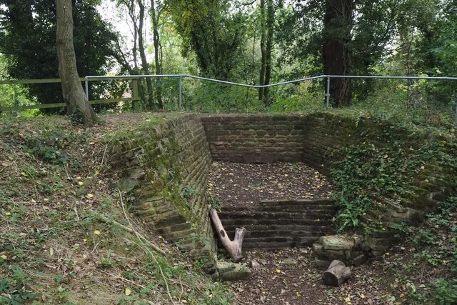
One of the notable features of Papplewick is its beautiful Grade II listed Papplewick Pumping Station. Built in the late 19th century, the pumping station is a well-preserved example of Victorian engineering and architecture. It was originally designed to supply drinking water to the city of Nottingham and is now a popular tourist attraction, showcasing working steam-powered engines.
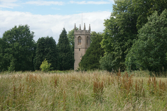
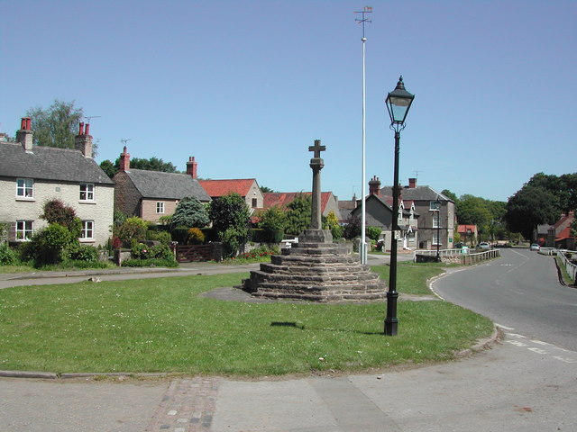
The village itself is characterized by charming cottages and traditional buildings. It has a close-knit community, with a local primary school, village hall, and a parish church dedicated to St. James. The church dates back to the 12th century and features a striking tower built in the 14th century.
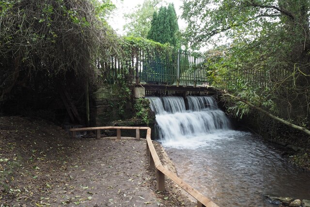
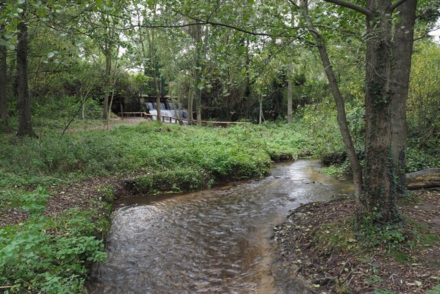
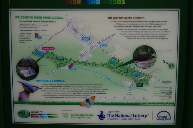
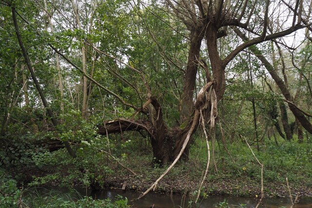
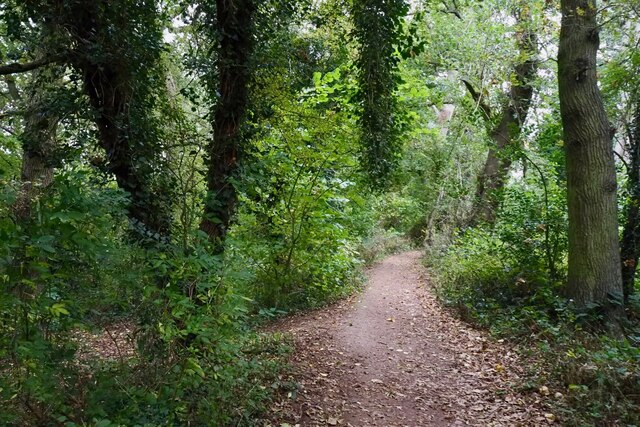
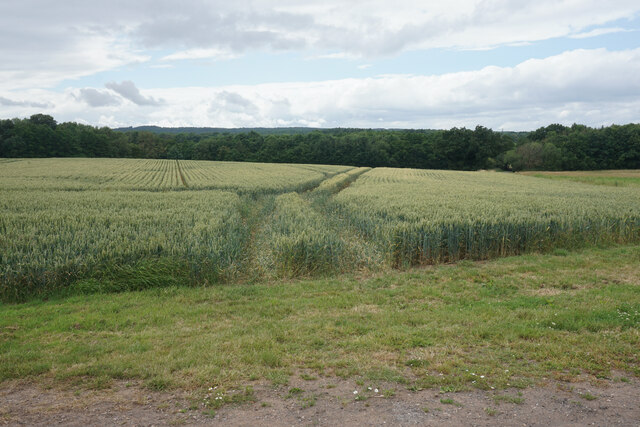
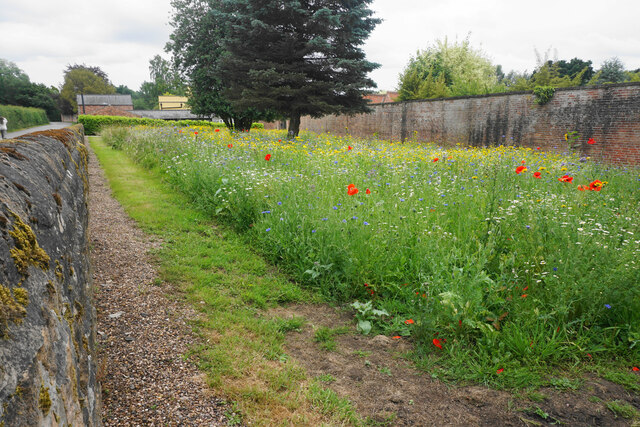
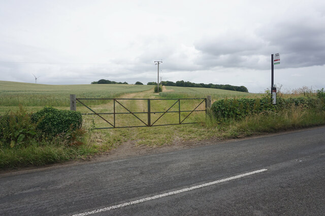
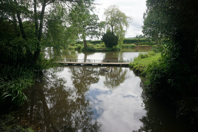
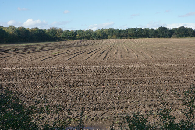
Papplewick is popular among nature enthusiasts, offering various opportunities for outdoor activities. The surrounding countryside provides scenic walking and cycling routes, including the nearby Papplewick Trail. The village is also home to several nature reserves, such as Papplewick Green and Moor Road Nature Reserve, which are havens for wildlife.
Overall, Papplewick is a tranquil and picturesque civil parish, combining historical and natural attractions with a close-knit community. It offers a peaceful retreat from the hustle and bustle of nearby urban areas while providing a range of amenities for its residents.
If you have any feedback on the listing, please let us know in the comments section below.
Papplewick Images
Images are sourced within 2km of 53.056119/-1.163556 or Grid Reference SK5651. Thanks to Geograph Open Source API. All images are credited.

Papplewick is located at Grid Ref: SK5651 (Lat: 53.056119, Lng: -1.163556)
Administrative County: Nottinghamshire
District: Gedling
Police Authority: Nottinghamshire
What 3 Words
///runs.teardrop.pasting. Near Ravenshead, Nottinghamshire
Nearby Locations
Related Wikis

Papplewick
Papplewick is a village and civil parish in Nottinghamshire, England, 7.5 miles (12 km) north of Nottingham and 6 miles (10 km) south of Mansfield. It...

Papplewick Hall
Papplewick Hall is a Grade I listed English country house in Papplewick, Nottinghamshire. == History == It was completed around 1787 for the Hon. Frederick...

Papplewick Pumping Station
Papplewick Pumping Station, situated in open agricultural land approximately 3 miles (4.8 km) by road from the Nottinghamshire village of Papplewick, was...

Hidden Valleys
Hidden Valleys is a name, coined in 2004, used to describe an area of interesting historical and scenic value between the city of Nottingham and the town...

Sherwood (UK Parliament constituency)
Sherwood is a constituency represented in the House of Commons of the UK Parliament since 2010 by Mark Spencer, a Conservative. The constituency takes...
Linby
Linby is a small village and civil parish in Nottinghamshire, England. The nearest town is Hucknall which is immediately to the south-west. The village...

Linby (Great Northern Railway) railway station
Linby (Great Northern Railway) was a railway station on the Great Northern Railway's Nottingham to Shirebrook line. == History == == Present day == No...

Hucknall station
Hucknall station, also formerly known as Hucknall Byron station, is a railway station and tram stop in Hucknall, Nottinghamshire, England. It is located...
Nearby Amenities
Located within 500m of 53.056119,-1.163556Have you been to Papplewick?
Leave your review of Papplewick below (or comments, questions and feedback).