New Plantation
Wood, Forest in Nottinghamshire Gedling
England
New Plantation
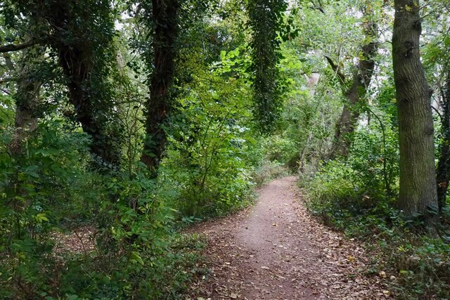
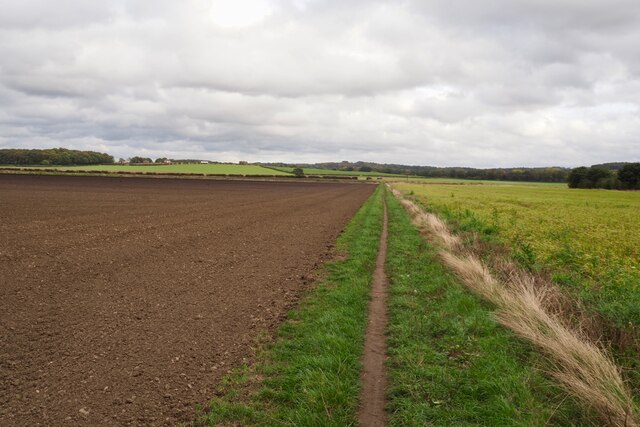
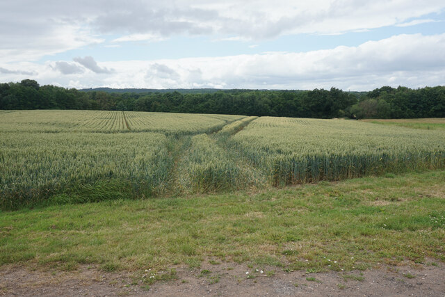
New Plantation is a picturesque woodland located in Nottinghamshire, England. Situated in the heart of the county, it covers an area of approximately [insert size] hectares and is often referred to as Wood or Forest by the locals. The plantation is a popular destination for nature enthusiasts, hikers, and families seeking a peaceful retreat from the bustling city life.
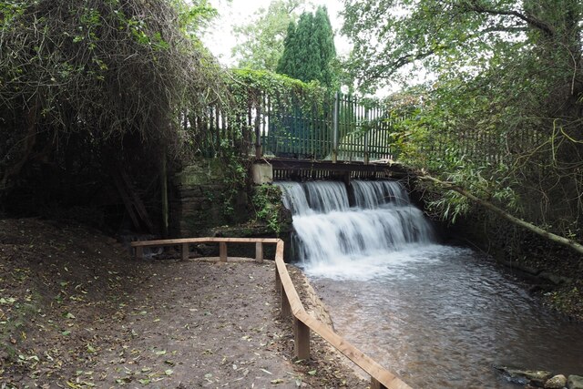
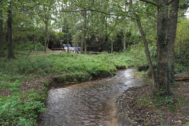
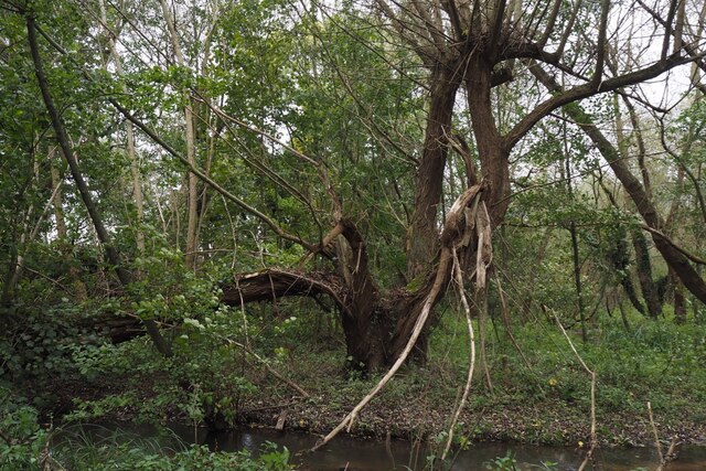
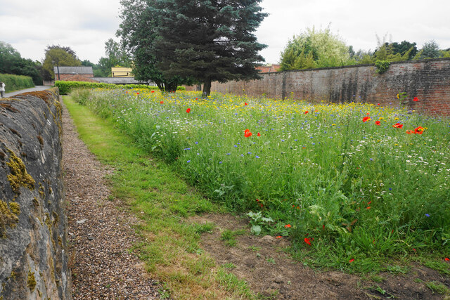
The woodland is predominantly composed of various species of trees, including oak, beech, birch, and pine. These trees create a dense canopy that provides shade and shelter for a wide range of wildlife. Visitors can expect to encounter an array of bird species, such as woodpeckers, owls, and finches, as well as mammals like squirrels, foxes, and deer.
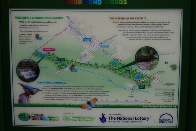
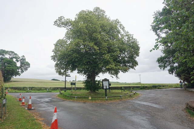
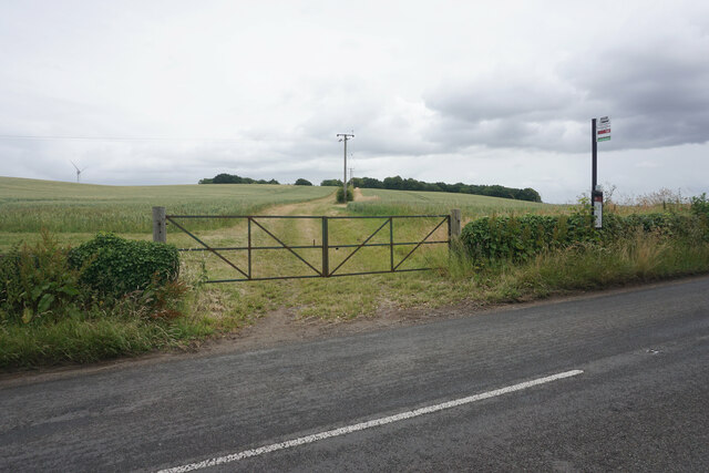
New Plantation offers a network of well-maintained walking trails, allowing visitors to explore the woodland at their own pace. These trails meander through the forest, offering stunning views of the surrounding landscape and ample opportunities for birdwatching and photography. Additionally, there are designated picnic areas and benches scattered throughout the plantation, providing visitors with the perfect spots to relax and enjoy a packed lunch amidst nature.
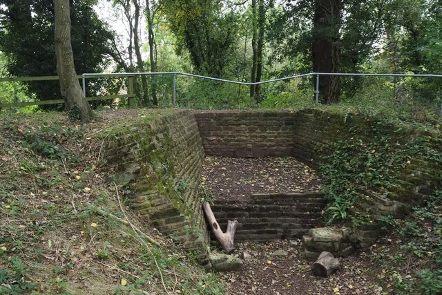
The woodland is managed by the local conservation trust, which ensures the preservation of the diverse ecosystem and the protection of its inhabitants. Educational programs and guided tours are also organized by the trust to raise awareness about the importance of conservation and to encourage visitors to appreciate the natural beauty of New Plantation.
Overall, New Plantation, Nottinghamshire is a haven for nature lovers, offering a tranquil escape into the heart of nature, with its diverse plant life, abundant wildlife, and well-maintained walking trails.
If you have any feedback on the listing, please let us know in the comments section below.
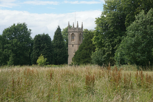
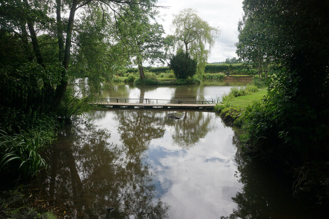
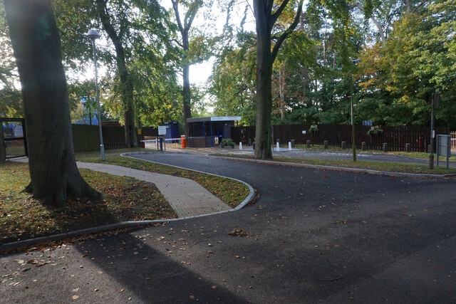
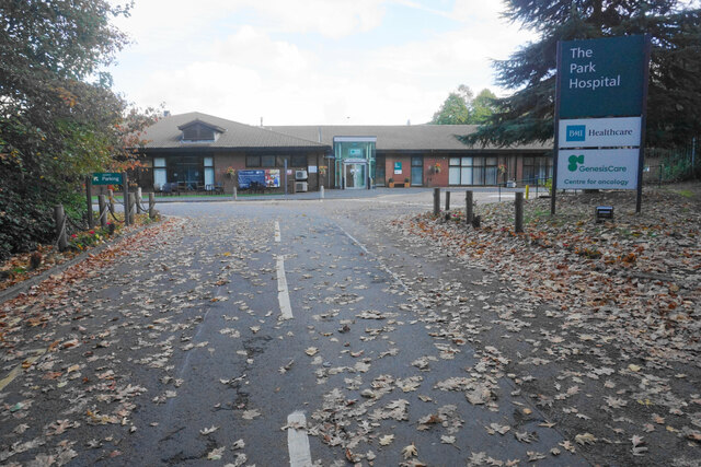
New Plantation Images
Images are sourced within 2km of 53.057357/-1.1656899 or Grid Reference SK5651. Thanks to Geograph Open Source API. All images are credited.


New Plantation is located at Grid Ref: SK5651 (Lat: 53.057357, Lng: -1.1656899)
Administrative County: Nottinghamshire
District: Gedling
Police Authority: Nottinghamshire
What 3 Words
///stilted.local.brittle. Near Ravenshead, Nottinghamshire
Nearby Locations
Related Wikis

Papplewick
Papplewick is a village and civil parish in Nottinghamshire, England, 7.5 miles (12 km) north of Nottingham and 6 miles (10 km) south of Mansfield. It...

Papplewick Hall
Papplewick Hall is a Grade I listed English country house in Papplewick, Nottinghamshire. == History == It was completed around 1787 for the Hon. Frederick...

Hidden Valleys
Hidden Valleys is a name, coined in 2004, used to describe an area of interesting historical and scenic value between the city of Nottingham and the town...

Papplewick Pumping Station
Papplewick Pumping Station, situated in open agricultural land approximately 3 miles (4.8 km) by road from the Nottinghamshire village of Papplewick, was...
Linby
Linby is a small village and civil parish in Nottinghamshire, England. The nearest town is Hucknall which is immediately to the south-west. The village...

Linby (Great Northern Railway) railway station
Linby (Great Northern Railway) was a railway station on the Great Northern Railway's Nottingham to Shirebrook line. == History == == Present day == No...

Sherwood (UK Parliament constituency)
Sherwood is a constituency represented in the House of Commons of the UK Parliament since 2010 by Mark Spencer, a Conservative. The constituency takes...

Linby railway station
Linby railway station was a station on what is now the Robin Hood Line. It was used predominantly to serve Linby Colliery. It shut in 1964. When the line...
Nearby Amenities
Located within 500m of 53.057357,-1.1656899Have you been to New Plantation?
Leave your review of New Plantation below (or comments, questions and feedback).