Sand Hills Copse

Wood, Forest in Hampshire Basingstoke and Deane

England

Sand Hills Copse

Frith Common Looking across to Sandford Wood.
Frith Common Credit: Andrew Smith

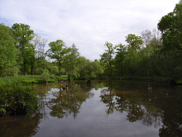
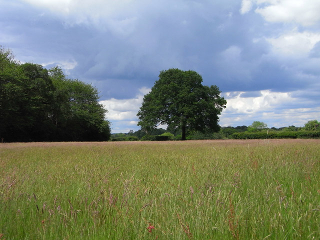
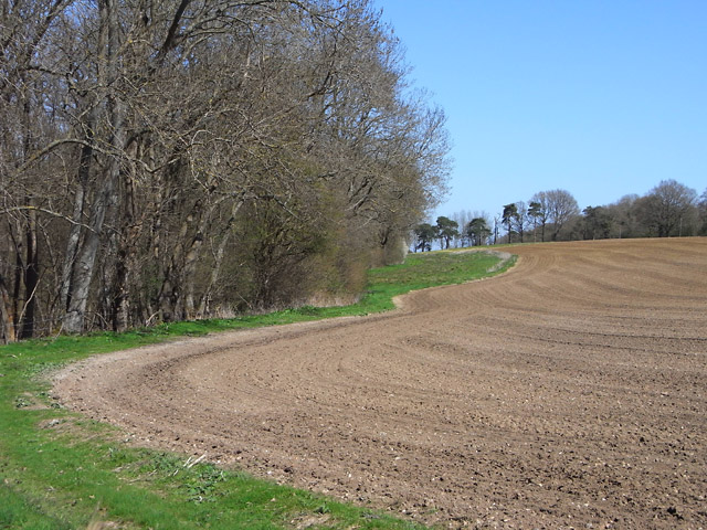
Sand Hills Copse is a captivating woodland located in Hampshire, England. Covering an area of approximately 25 hectares, this enchanting forest is renowned for its unique blend of natural beauty and rich biodiversity. Situated near the village of Burley, the copse is nestled within the New Forest National Park, a protected area known for its ancient woodlands.

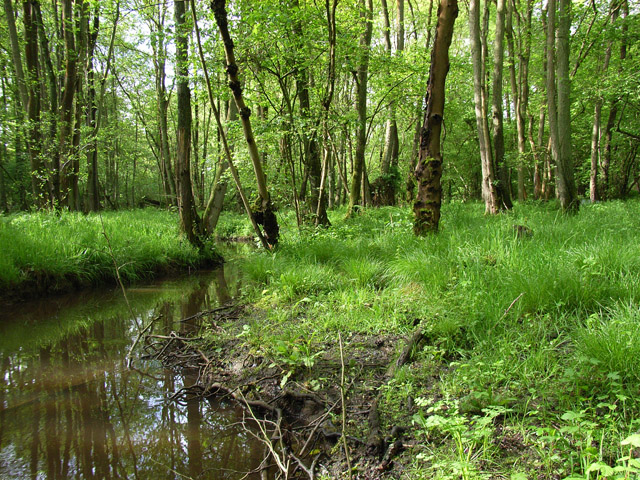
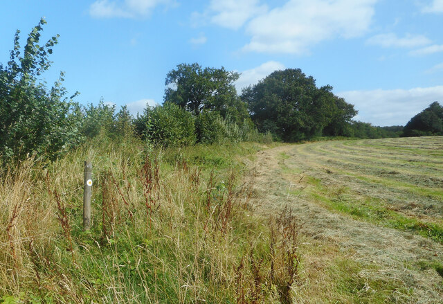
The copse is predominantly composed of native tree species such as oak, beech, and birch, which create a dense and verdant canopy overhead. The forest floor is adorned with a colorful tapestry of wildflowers, including bluebells, primroses, and wood anemones, which bloom in vibrant hues during the springtime.

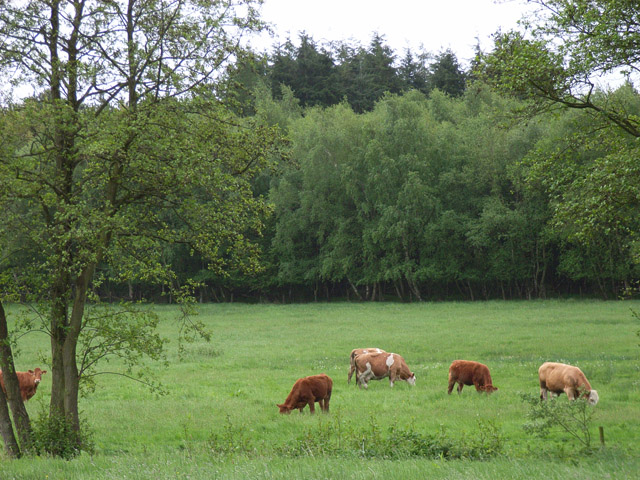
Sand Hills Copse is home to a diverse range of wildlife, making it a haven for nature enthusiasts and wildlife photographers alike. Visitors may be lucky enough to catch a glimpse of native deer, badgers, foxes, and a plethora of bird species, including woodpeckers, tawny owls, and nightjars.

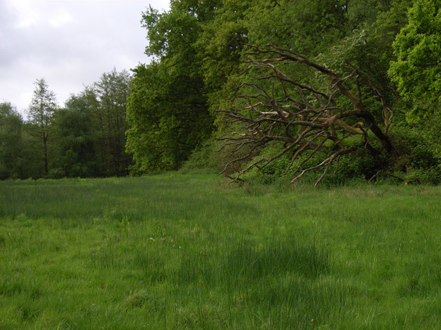
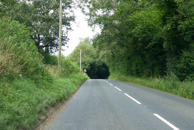
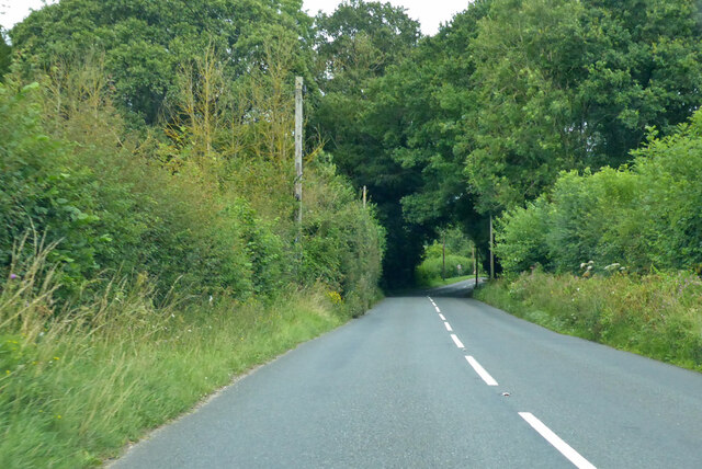
The copse offers a network of scenic trails and footpaths that wind through the forest, allowing visitors to explore its beauty at their own pace. The tranquil atmosphere, combined with the soothing sounds of rustling leaves and birdsong, provides a serene escape from the hustle and bustle of everyday life.

Sand Hills Copse is not only a haven for flora and fauna but also a place of historical significance. The forest is believed to have been an ancient hunting ground, with remnants of Bronze Age burial mounds and Iron Age hillforts scattered throughout the area.

Overall, Sand Hills Copse is a captivating woodland that offers a harmonious blend of natural beauty, diverse wildlife, and historical allure. Whether one seeks solitude, a leisurely stroll, or a deeper connection with nature, this forest provides a captivating experience for all who visit.

If you have any feedback on the listing, please let us know in the comments section below.

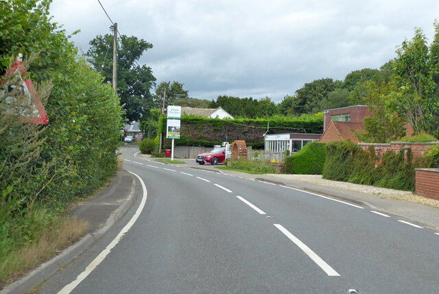
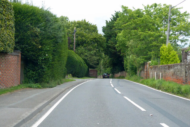
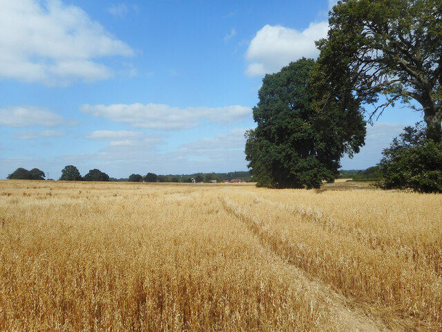
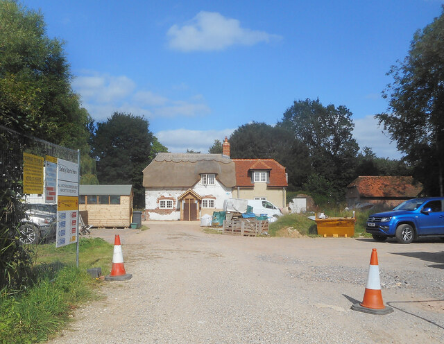
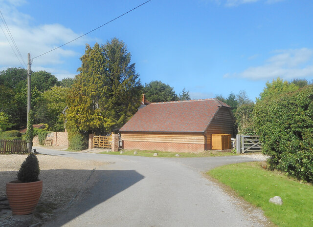
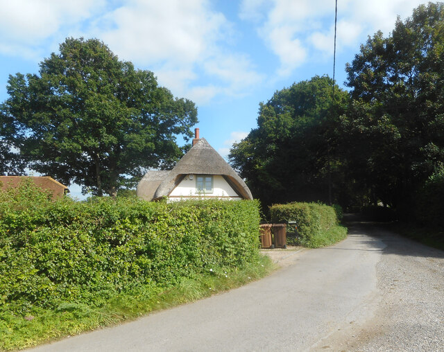
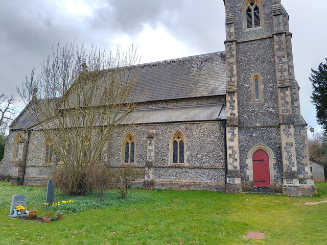
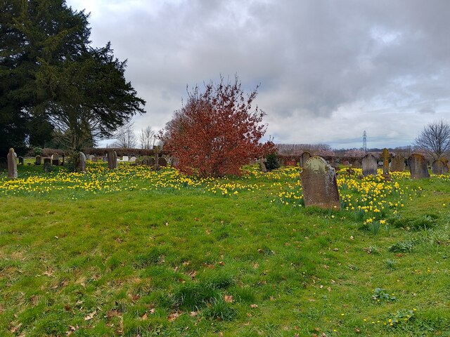
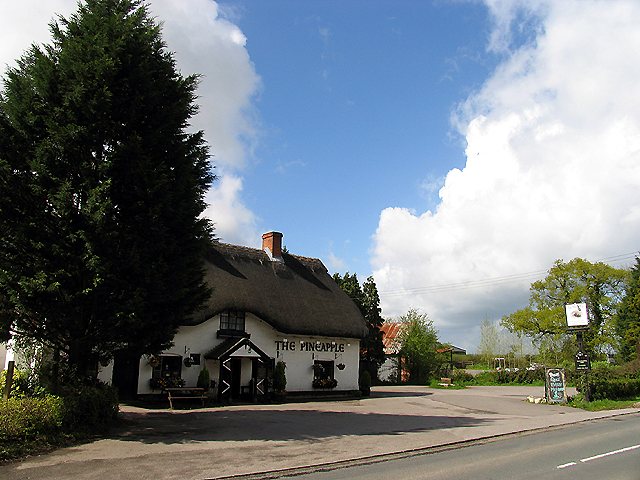
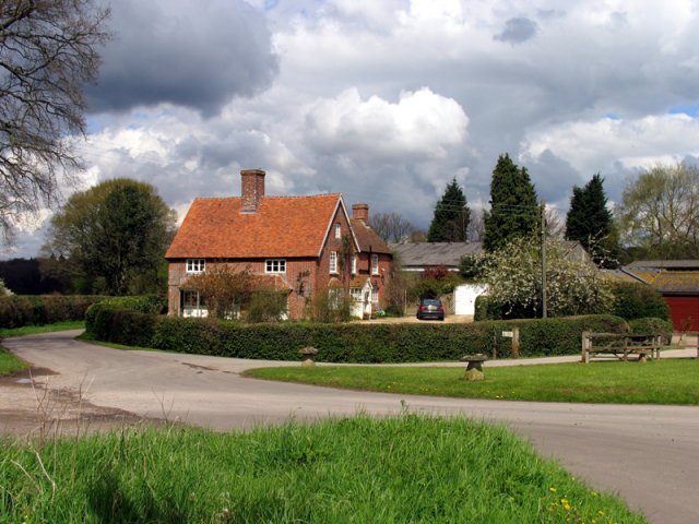
Sand Hills Copse Images

Images are sourced within 2km of 51.348405/-1.2141583 or Grid Reference SU5461. Thanks to Geograph Open Source API. All images are credited.

Frith Common Looking across to Sandford Wood.
Frith Common
Looking across to Sandford Wood.
Pond near Frith Common One of two ponds in the vicinity that are not shown by the Ordnance Survey.
Pond near Frith Common
One of two ponds in the vicinity that are not shown by the Ordnance Survey.
Woodland stream, Frith Common The stream emanates from Sandford Springs, which give their name to the nearby golf club.
Woodland stream, Frith Common
The stream emanates from Sandford Springs, which give their name to the nearby golf club.
Clinker's Copse The fringe of the wood where it meets a rather boggy meadow.
Clinker's Copse
The fringe of the wood where it meets a rather boggy meadow.
Pasture, Wolverton A field of long grass with a northeastern corner of Sandford Woods to the left.
Pasture, Wolverton
A field of long grass with a northeastern corner of Sandford Woods to the left.
Farmland, Kingsclere The edge of an arable field seen from the footpath between Knowl Hill and Harridens Farms.
Farmland, Kingsclere
The edge of an arable field seen from the footpath between Knowl Hill and Harridens Farms.
B3051 Little Knowl Hill From Kingsclere towards Aldermaston.
B3051 Little Knowl Hill
From Kingsclere towards Aldermaston.
B3051 Little Knowl Hill From Kingsclere towards Aldermaston.
B3051 Little Knowl Hill
From Kingsclere towards Aldermaston.
B3051, Ashford Hill From Kingsclere towards Aldermaston. The sign on the left is intended to warn of a skid hazard, but not doing a very good job of it.
B3051, Ashford Hill
From Kingsclere towards Aldermaston. The sign on the left is intended to warn of a skid hazard, but not doing a very good job of it.
B3051, Ashford Hill From Kingsclere towards Aldermaston.
B3051, Ashford Hill
From Kingsclere towards Aldermaston.
A Field of Oats, Kingsclere Woodlands
Renovations at Plastow Green One of the old houses is being done up.
Renovations at Plastow Green
One of the old houses is being done up.
Barn on the Corner One of the handful of places in the hamlet of Plastow Green
Barn on the Corner
One of the handful of places in the hamlet of Plastow Green
Thatch behind the Hedge An old house at the end of the road at Plastow Green.
Thatch behind the Hedge
An old house at the end of the road at Plastow Green.
Footpath through a hay field One of half a dozen footpaths which converge at a small wood called Watchbury Copse a short way along from here.
Footpath through a hay field
One of half a dozen footpaths which converge at a small wood called Watchbury Copse a short way along from here.
St Paul's Church A church in Ashford Hill, off Ashford Hill Road. The path across the grass here is not very often used, with a car park and the main entrance round the rear of the church.

The church is Victorian Gothic, built in 1845. It is a grade II listed building, list entry number 1166766 <span class="nowrap"><a title="https://historicengland.org.uk/listing/the-list/list-entry/1166766?section=official-list-entry" rel="nofollow ugc noopener" href="https://historicengland.org.uk/listing/the-list/list-entry/1166766?section=official-list-entry">Link</a><img style="margin-left:2px;" alt="External link" title="External link - shift click to open in new window" src="https://s1.geograph.org.uk/img/external.png" width="10" height="10"/></span>
St Paul's Church
A church in Ashford Hill, off Ashford Hill Road. The path across the grass here is not very often used, with a car park and the main entrance round the rear of the church. The church is Victorian Gothic, built in 1845. It is a grade II listed building, list entry number 1166766 LinkExternal link
St Paul's Church graveyard The graveyard is covered in daffodils at this time of year. A path runs through the grass.
St Paul's Church graveyard
The graveyard is covered in daffodils at this time of year. A path runs through the grass.
St Paul's Church graveyard An area of the graveyard near to the church.
St Paul's Church graveyard
An area of the graveyard near to the church.
Show me another place!

Sand Hills Copse is located at Grid Ref: SU5461 (Lat: 51.348405, Lng: -1.2141583)

Administrative County: Hampshire

District: Basingstoke and Deane

Police Authority: Hampshire

What 3 Words

///finally.limitless.propelled. Near Kingsclere, Hampshire

Related Wikis

Ashford Hill

Ashford Hill is a village in Basingstoke and Deane, Hampshire, England. == Governance == The village of Ashford Hill is part of the civil parish of Ashford...

Ashford Hill Woods and Meadows

Ashford Hill Woods and Meadows is a 141.5-hectare (350-acre) biological Site of Special Scientific Interest near Ashford Hill in Hampshire. An area of...

Ashford Hill with Headley

Ashford Hill with Headley is a civil parish in the Basingstoke and Deane district of Hampshire, England. The parish includes Ashford Hill, Plastow Green...

Ashford Hill NNR

Ashford Hill is a British national nature reserve next to the village of Ashford Hill in Hampshire. Part of the reserve is a designated a Site of Special...

Plastow Green

Plastow Green is a hamlet in north Hampshire, England. == Governance == The hamlet is part of the civil parish of Ashford Hill with Headley, and is part...

Axmansford

Axmansford is a village in Hampshire, England. It is in the civil parish of Baughurst. == External links == Media related to Axmansford at Wikimedia Commons

Brimpton Common

Brimpton Common is a hamlet in Berkshire, England. It is part of Brimpton Parish, and part of the Benefice of Aldermaston and Woolhampton in the Diocese...

Inhurst

Inhurst is a hamlet in Hampshire, England. It is in the civil parish of Baughurst. == History == Inhurst House was established as a school in the 1960s...

Nearby Amenities

Located within 500m of 51.348405,-1.2141583
Post Box
Operator: Royal Mail
Post Box Type: lamp
Postal Code: RG19
Ref: RG19 174
Royal Cypher: EIIR
Royal Cypher Wikidata: Q33102113
Lat/Long: 51.3442064/-1.2135083
Barrier: stile
Lat/Long: 51.3510557/-1.2193945
Barrier: stile
Lat/Long: 51.3486355/-1.2120031
Barrier: stile
Lat/Long: 51.3485766/-1.2118228
Barrier: stile
Lat/Long: 51.3520717/-1.2119859
Barrier: stile
Lat/Long: 51.3511175/-1.2113336
Barrier: stile
Lat/Long: 51.3502437/-1.2149471
Barrier: stile
Lat/Long: 51.3508816/-1.2189726
Barrier: stile
Lat/Long: 51.3471761/-1.2089507
Fair Oak Farm
Landuse: farm
Note Retag: CS #48756035
Lat/Long: 51.3475683/-1.2088176
Wrens Farm
Landuse: farm
Note Retag: CS #48756035
Source: OS_OpenData_StreetView
Lat/Long: 51.3466443/-1.2087318
The data included in this document is from www.openstreetmap.org. The data is made available under ODbL.

Have you been to Sand Hills Copse?

Leave your review of Sand Hills Copse below (or comments, questions and feedback).