Blacklands Plantation
Wood, Forest in Oxfordshire South Oxfordshire
England
Blacklands Plantation

Blacklands Plantation is a picturesque woodland located in Oxfordshire, England. Situated near the town of Wood, the plantation is known for its dense forest and natural beauty. Spanning over a vast area, it provides a serene and tranquil environment for visitors to explore and enjoy.
The woodland is predominantly made up of a variety of trees, including oak, beech, and birch, creating a diverse and vibrant ecosystem. The dense canopy formed by these trees allows for minimal sunlight to penetrate the forest floor, resulting in a magical and mysterious atmosphere.
Blacklands Plantation is home to a wide range of wildlife, including numerous bird species, small mammals, and insects. Nature enthusiasts will delight in the opportunity to spot rare and indigenous species such as red squirrels, tawny owls, and woodpeckers. The plantation also boasts a network of walking trails that wind through the forest, providing visitors with the chance to observe and appreciate the flora and fauna at their own pace.
Aside from its natural beauty, Blacklands Plantation also holds historical significance. The area was once part of a larger estate and has remnants of old stone walls and structures that date back several centuries. These historical features add a touch of intrigue and charm to the woodland, making it a popular destination for both nature lovers and history enthusiasts.
Overall, Blacklands Plantation in Oxfordshire offers a serene escape from the hustle and bustle of everyday life. With its enchanting woodlands, diverse wildlife, and historical remnants, it is a must-visit destination for anyone seeking solace and connection with nature.
If you have any feedback on the listing, please let us know in the comments section below.
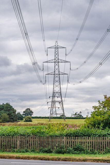
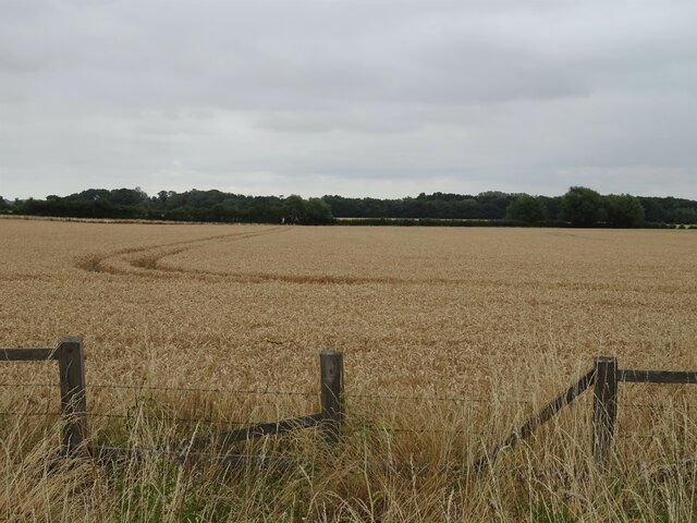
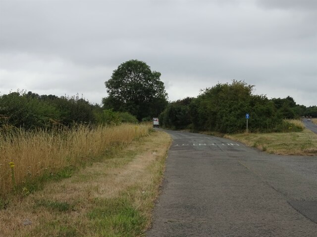
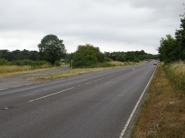
Blacklands Plantation Images
Images are sourced within 2km of 51.668156/-1.2087121 or Grid Reference SU5496. Thanks to Geograph Open Source API. All images are credited.


Blacklands Plantation is located at Grid Ref: SU5496 (Lat: 51.668156, Lng: -1.2087121)
Administrative County: Oxfordshire
District: South Oxfordshire
Police Authority: Thames Valley
What 3 Words
///swept.newest.clubbing. Near Radley, Oxfordshire
Nearby Locations
Related Wikis
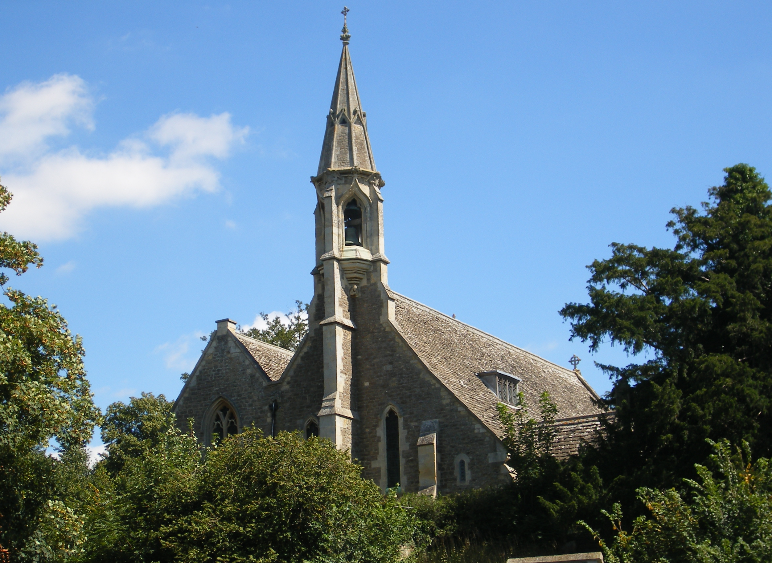
Clifton Hampden
Clifton Hampden is a village and civil parish on the north bank of the River Thames, just over 3 miles (5 km) east of Abingdon in Oxfordshire. Since 1932...
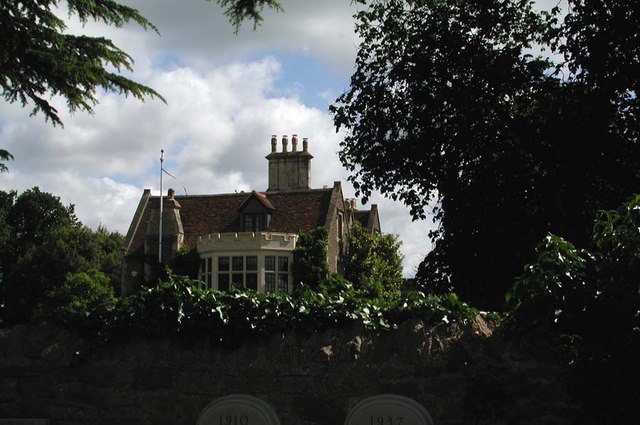
Clifton Hampden Manor
Clifton Hampden Manor is a country house in the village of Clifton Hampden, Oxfordshire, England, overlooking the River Thames. It has been a Grade II...
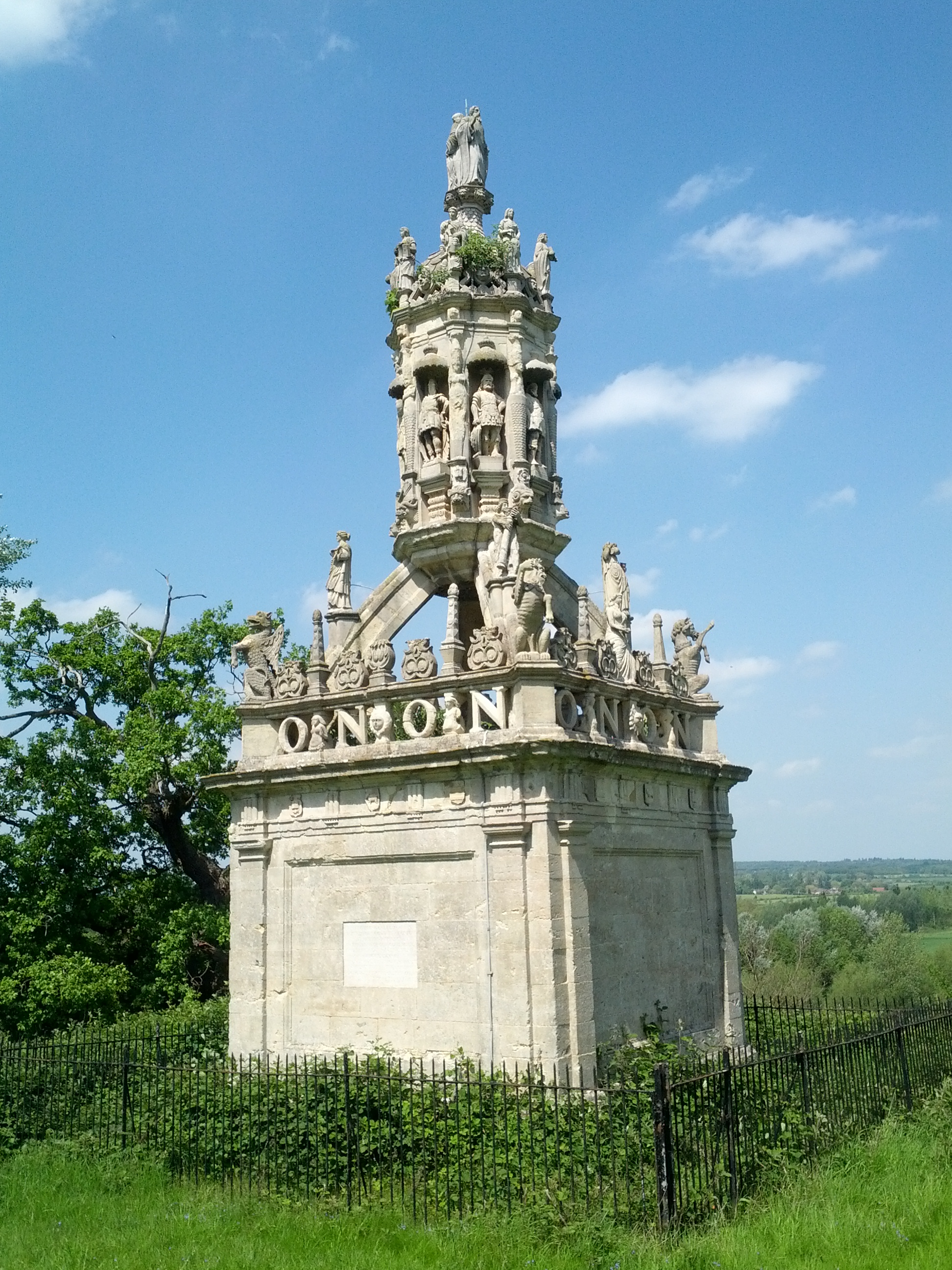
Carfax Conduit
The Carfax Conduit was a water conduit that supplied the city of Oxford with water from 1610 until 1869. The conduit ran in an underground lead pipe from...
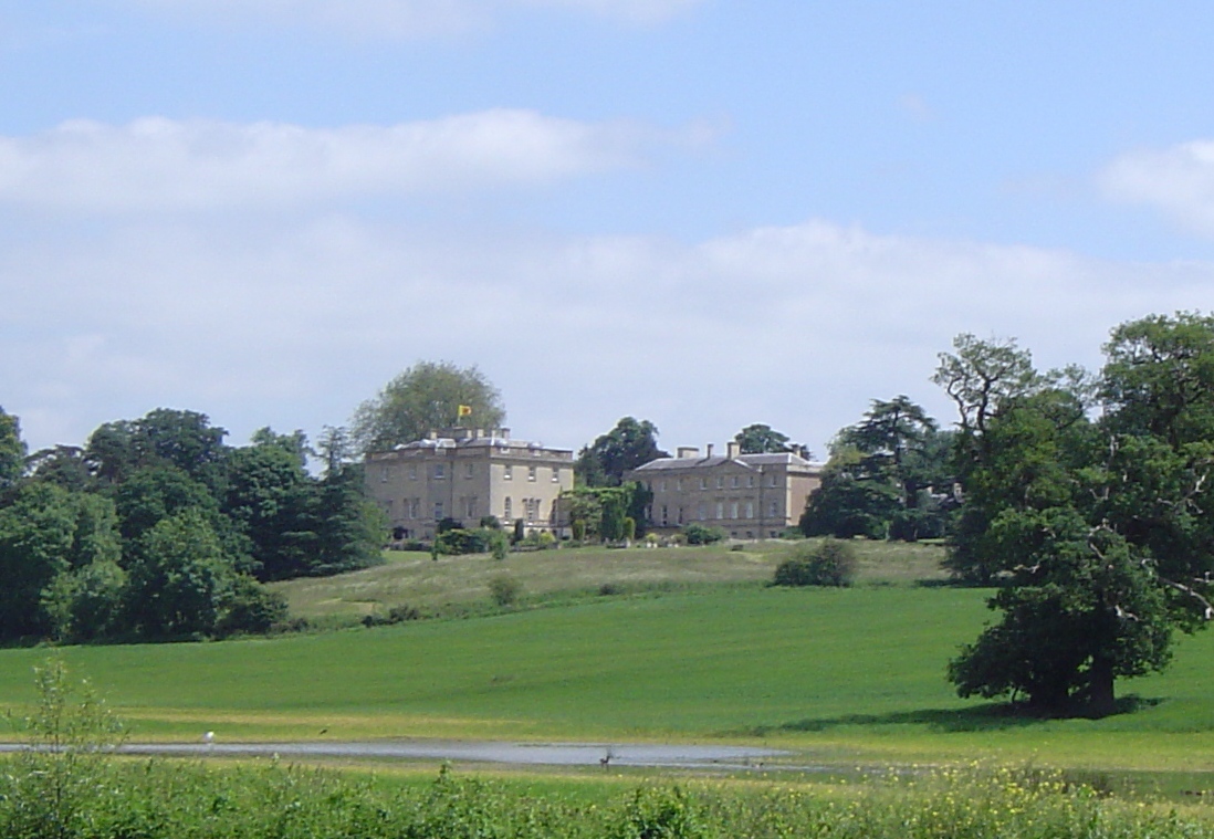
Nuneham House
Nuneham House is an eighteenth century villa in the Palladian style, set in parkland at Nuneham Courtenay in Oxfordshire, England. It is currently owned...

Culham Rural District
Culham was a rural district in Oxfordshire, England, from 1894 to 1932. It was formed under the Local Government Act 1894 from the part of the Abingdon...
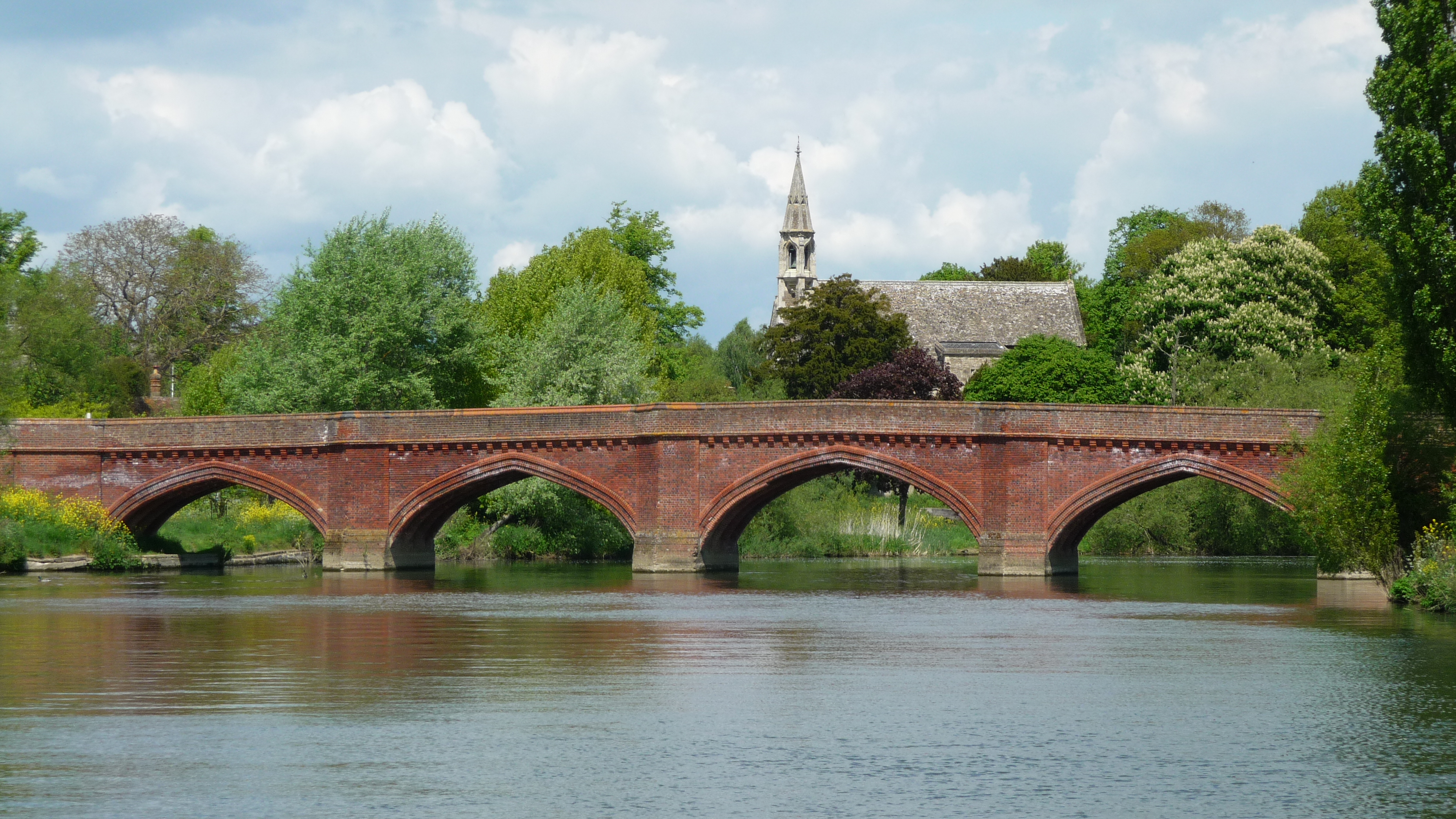
Clifton Hampden Bridge
Clifton Hampden Bridge is a road bridge crossing the River Thames in Clifton Hampden, Oxfordshire, England, situated on the reach below Clifton Lock. Originally...

Old All Saints Church, Nuneham Courtenay
Old All Saints Church, or Harcourt Chapel, is a redundant Church of England church near the village of Nuneham Courtenay, Oxfordshire, England. It is recorded...
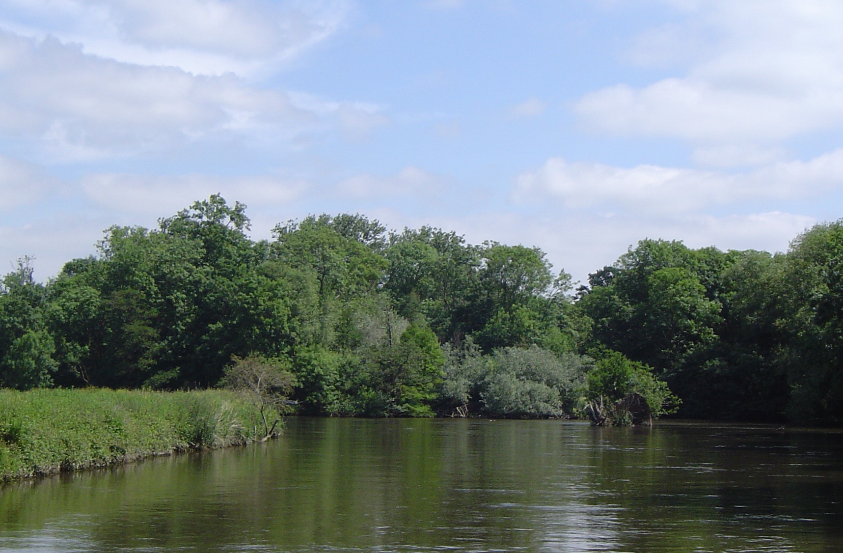
Lock Wood Island
Lock Wood Island is an island in the River Thames in England just downstream of Nuneham House on the reach above Abingdon Lock. The island sits on a sharp...
Nearby Amenities
Located within 500m of 51.668156,-1.2087121Have you been to Blacklands Plantation?
Leave your review of Blacklands Plantation below (or comments, questions and feedback).