Galldrops Copse

Wood, Forest in Hampshire Basingstoke and Deane

England

Galldrops Copse

Knowl Hill Farm Buildings This picture was taken from the private road that intersects with the road running diagonally from north to south across the grid square, looking north.
Knowl Hill Farm Buildings Credit: Pam Brophy

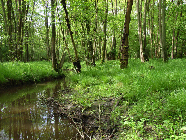
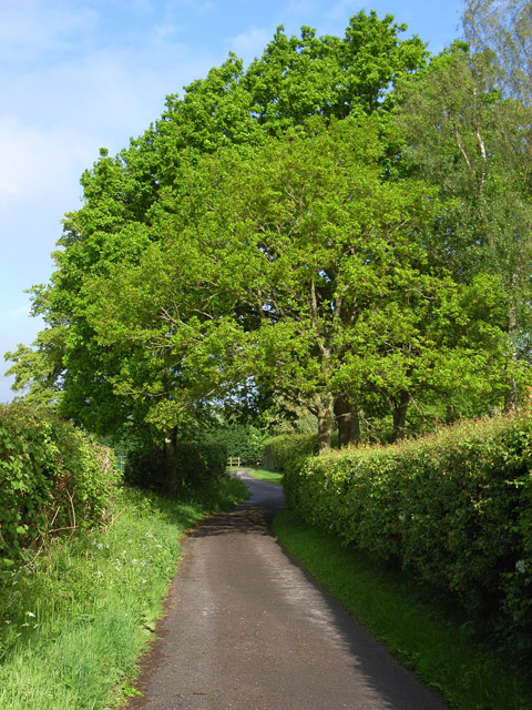
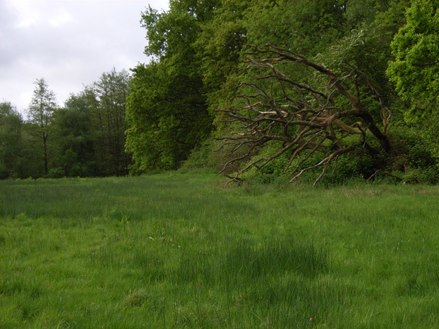
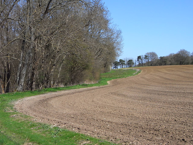
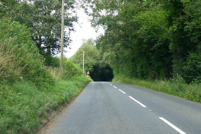
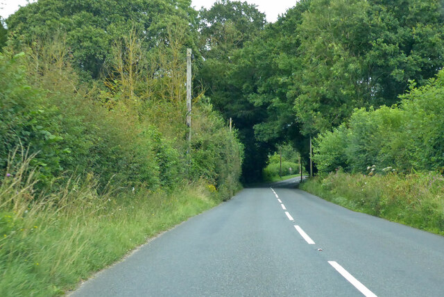
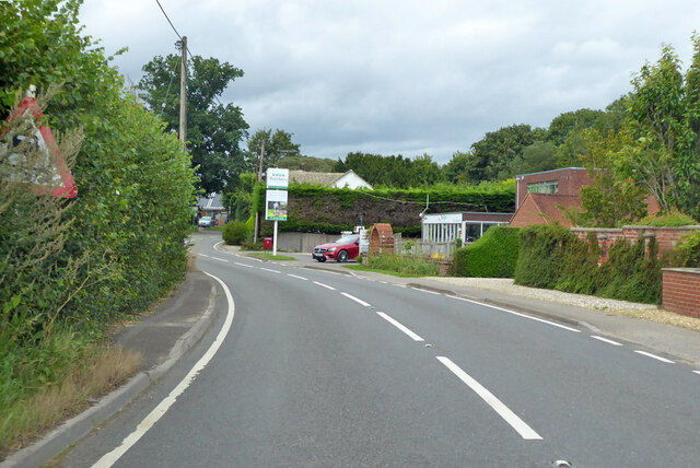
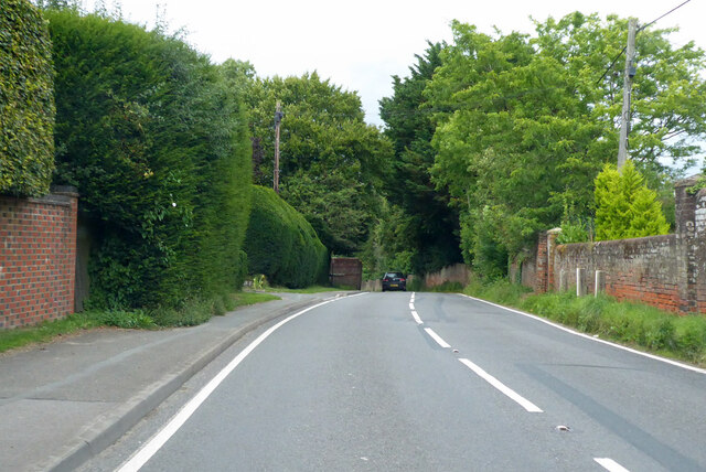
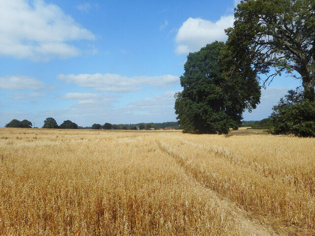
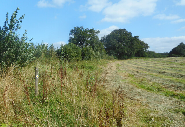
Galldrops Copse is a picturesque woodland located in Hampshire, England. Covering an area of approximately 50 acres, it is a popular destination for nature enthusiasts and outdoor lovers. The copse is situated in the heart of the Hampshire countryside, surrounded by rolling hills and lush green fields.

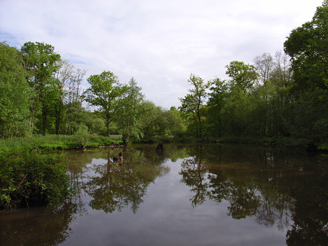
The woodland is predominantly made up of native tree species, including oak, beech, and ash. These towering trees provide a dense canopy, creating a tranquil and shaded environment within the copse. The forest floor is carpeted with a variety of wildflowers, such as bluebells and primroses, adding bursts of color to the landscape during the spring months.

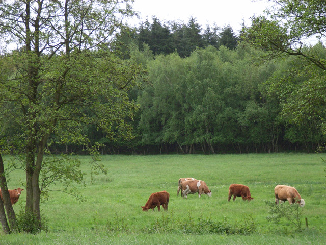
Galldrops Copse is home to a diverse range of wildlife. Visitors may be lucky enough to spot deer, foxes, and various bird species, including woodpeckers and owls. The copse also provides a habitat for smaller creatures such as squirrels, rabbits, and hedgehogs.

The wood offers several walking trails, allowing visitors to explore its beauty at their own pace. These paths wind through the trees, offering glimpses of stunning vistas and providing opportunities for peaceful contemplation. In addition to walking, the copse is also a popular spot for picnicking, photography, and nature study.

Galldrops Copse is a haven of tranquility and natural beauty, offering a respite from the hustle and bustle of everyday life. Whether one seeks solitude in nature or wishes to immerse themselves in the diverse wildlife, this woodland provides an ideal setting for a day of exploration and relaxation.

If you have any feedback on the listing, please let us know in the comments section below.

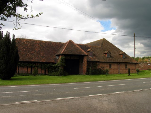
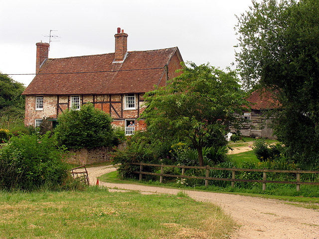
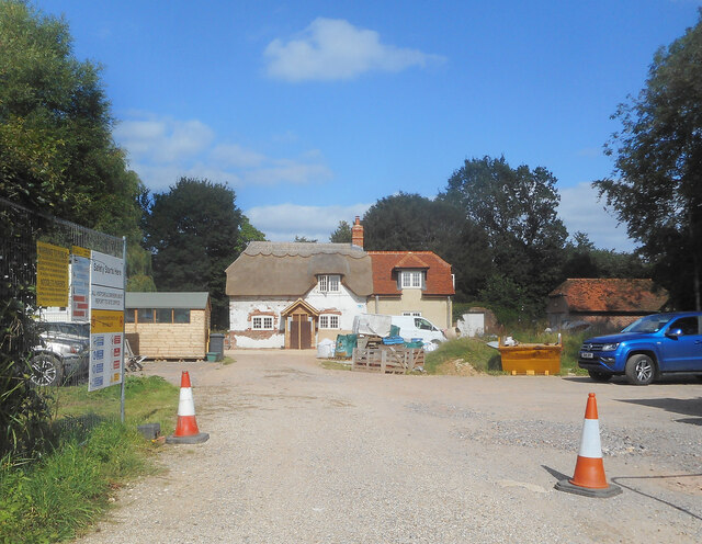
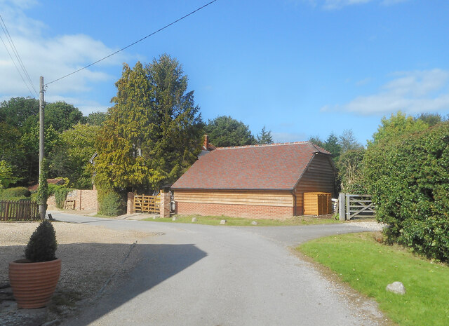
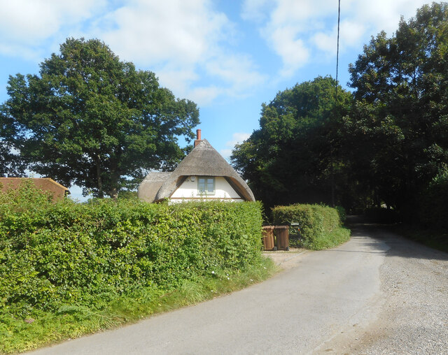
Galldrops Copse Images

Images are sourced within 2km of 51.347255/-1.2238699 or Grid Reference SU5461. Thanks to Geograph Open Source API. All images are credited.

Knowl Hill Farm Buildings This picture was taken from the private road that intersects with the road running diagonally from north to south across the grid square, looking north.
Knowl Hill Farm Buildings
This picture was taken from the private road that intersects with the road running diagonally from north to south across the grid square, looking north.
Farm near Ashford Hill At this point, the footpath splits and goes of at right angles to each other. This is the view at the split (Harriden's Farm).
Farm near Ashford Hill
At this point, the footpath splits and goes of at right angles to each other. This is the view at the split (Harriden's Farm).
Frith Common Looking across to Sandford Wood.
Frith Common
Looking across to Sandford Wood.
Pond near Frith Common One of two ponds in the vicinity that are not shown by the Ordnance Survey.
Pond near Frith Common
One of two ponds in the vicinity that are not shown by the Ordnance Survey.
Woodland stream, Frith Common The stream emanates from Sandford Springs, which give their name to the nearby golf club.
Woodland stream, Frith Common
The stream emanates from Sandford Springs, which give their name to the nearby golf club.
Lane at Frith Common Farm A public footpath on a private road.
Lane at Frith Common Farm
A public footpath on a private road.
Clinker's Copse The fringe of the wood where it meets a rather boggy meadow.
Clinker's Copse
The fringe of the wood where it meets a rather boggy meadow.
Farmland, Kingsclere The edge of an arable field seen from the footpath between Knowl Hill and Harridens Farms.
Farmland, Kingsclere
The edge of an arable field seen from the footpath between Knowl Hill and Harridens Farms.
B3051 Little Knowl Hill From Kingsclere towards Aldermaston.
B3051 Little Knowl Hill
From Kingsclere towards Aldermaston.
B3051 Little Knowl Hill From Kingsclere towards Aldermaston.
B3051 Little Knowl Hill
From Kingsclere towards Aldermaston.
B3051, Ashford Hill From Kingsclere towards Aldermaston. The sign on the left is intended to warn of a skid hazard, but not doing a very good job of it.
B3051, Ashford Hill
From Kingsclere towards Aldermaston. The sign on the left is intended to warn of a skid hazard, but not doing a very good job of it.
B3051, Ashford Hill From Kingsclere towards Aldermaston.
B3051, Ashford Hill
From Kingsclere towards Aldermaston.
A Field of Oats, Kingsclere Woodlands
Renovations at Plastow Green One of the old houses is being done up.
Renovations at Plastow Green
One of the old houses is being done up.
Barn on the Corner One of the handful of places in the hamlet of Plastow Green
Barn on the Corner
One of the handful of places in the hamlet of Plastow Green
Thatch behind the Hedge An old house at the end of the road at Plastow Green.
Thatch behind the Hedge
An old house at the end of the road at Plastow Green.
Footpath through a hay field One of half a dozen footpaths which converge at a small wood called Watchbury Copse a short way along from here.
Footpath through a hay field
One of half a dozen footpaths which converge at a small wood called Watchbury Copse a short way along from here.
St Paul's Church A church in Ashford Hill, off Ashford Hill Road. The path across the grass here is not very often used, with a car park and the main entrance round the rear of the church.

The church is Victorian Gothic, built in 1845. It is a grade II listed building, list entry number 1166766 <span class="nowrap"><a title="https://historicengland.org.uk/listing/the-list/list-entry/1166766?section=official-list-entry" rel="nofollow ugc noopener" href="https://historicengland.org.uk/listing/the-list/list-entry/1166766?section=official-list-entry">Link</a><img style="margin-left:2px;" alt="External link" title="External link - shift click to open in new window" src="https://s1.geograph.org.uk/img/external.png" width="10" height="10"/></span>
St Paul's Church
A church in Ashford Hill, off Ashford Hill Road. The path across the grass here is not very often used, with a car park and the main entrance round the rear of the church. The church is Victorian Gothic, built in 1845. It is a grade II listed building, list entry number 1166766 LinkExternal link
Show me another place!

Galldrops Copse is located at Grid Ref: SU5461 (Lat: 51.347255, Lng: -1.2238699)

Administrative County: Hampshire

District: Basingstoke and Deane

Police Authority: Hampshire

What 3 Words

///redeemed.looks.childcare. Near Kingsclere, Hampshire

Related Wikis

Plastow Green

Plastow Green is a hamlet in north Hampshire, England. == Governance == The hamlet is part of the civil parish of Ashford Hill with Headley, and is part...

Ashford Hill with Headley

Ashford Hill with Headley is a civil parish in the Basingstoke and Deane district of Hampshire, England. The parish includes Ashford Hill, Plastow Green...

Ashford Hill

Ashford Hill is a village in Basingstoke and Deane, Hampshire, England. == Governance == The village of Ashford Hill is part of the civil parish of Ashford...

Ashford Hill Woods and Meadows

Ashford Hill Woods and Meadows is a 141.5-hectare (350-acre) biological Site of Special Scientific Interest near Ashford Hill in Hampshire. An area of...

Ashford Hill NNR

Ashford Hill is a British national nature reserve next to the village of Ashford Hill in Hampshire. Part of the reserve is a designated a Site of Special...

Axmansford

Axmansford is a village in Hampshire, England. It is in the civil parish of Baughurst. == External links == Media related to Axmansford at Wikimedia Commons

Headley, Basingstoke and Deane

Headley is a village in Hampshire, England. It is close to the county boundary with Berkshire and about 4 miles (6.4 km) south-east of Newbury. == Governance... ==

Brimpton Common

Brimpton Common is a hamlet in Berkshire, England. It is part of Brimpton Parish, and part of the Benefice of Aldermaston and Woolhampton in the Diocese...

Nearby Amenities

Located within 500m of 51.347255,-1.2238699
Barrier: kissing_gate
Lat/Long: 51.3475563/-1.226851
Barrier: stile
Lat/Long: 51.3462643/-1.2290826
Barrier: stile
Lat/Long: 51.350619/-1.2230066
Barrier: stile
Lat/Long: 51.3498846/-1.2234186
Power: tower
Lat/Long: 51.3477482/-1.2280035
Power: tower
Lat/Long: 51.3499468/-1.2255222
The White Cottage
Addr Housename: The White Cottage
Building: house
Source: OS_OpenData_StreetView
Lat/Long: 51.3513752/-1.2223789
The Pink House
Addr Housename: The Pink House
Building: house
Source: OS_OpenData_StreetView
Lat/Long: 51.3512008/-1.2225506
Power: pole
Lat/Long: 51.3471566/-1.2309328
Power: pole
Lat/Long: 51.3485371/-1.2300155
Power: pole
Lat/Long: 51.3495757/-1.229015
Power: pole
Lat/Long: 51.3505674/-1.2281245
The data included in this document is from www.openstreetmap.org. The data is made available under ODbL.

Have you been to Galldrops Copse?

Leave your review of Galldrops Copse below (or comments, questions and feedback).