Alderdrove Copse

Wood, Forest in Hampshire Basingstoke and Deane

England

Alderdrove Copse

Knowl Hill Farm Buildings This picture was taken from the private road that intersects with the road running diagonally from north to south across the grid square, looking north.
Knowl Hill Farm Buildings Credit: Pam Brophy

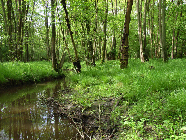
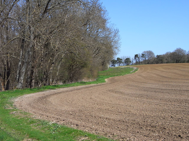
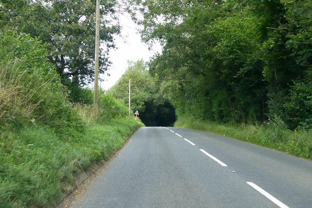
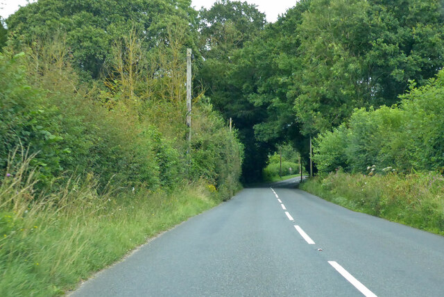
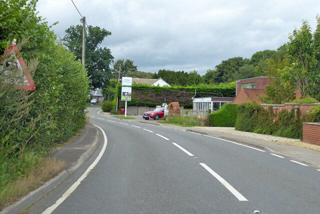
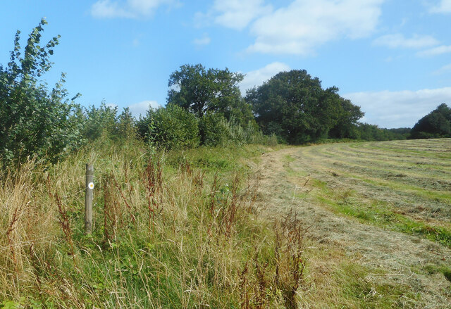
Alderdrove Copse is an enchanting woodland situated in Hampshire, England. Spanning approximately 20 acres, it is a captivating example of a mixed deciduous and coniferous forest. The copse is located on the outskirts of the charming village of Alderdrove and is a popular destination for nature enthusiasts and walkers.

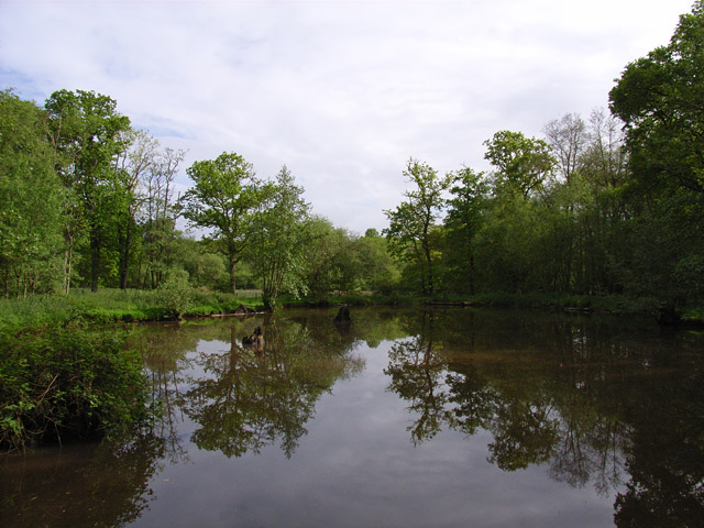
The forest boasts a diverse range of tree species, including mighty oak, beech, birch, and rowan. Towering conifers such as Scots pine and Douglas fir add a majestic touch to the landscape. The forest floor is carpeted with a rich tapestry of ferns, bluebells, and wildflowers, creating a vibrant and picturesque scene.

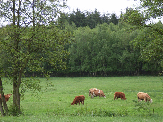
Alderdrove Copse is home to a variety of wildlife, making it a haven for nature lovers. Birdwatchers can spot species such as woodpeckers, owls, and buzzards, while small mammals like badgers, foxes, and deer can be spotted in the early morning or late evening. The copse is also home to a diverse array of insect life, including butterflies and dragonflies.

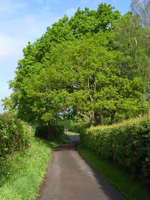
The woodland offers a network of well-maintained trails, allowing visitors to explore its beauty at their own pace. Whether it's a leisurely stroll or a more adventurous hike, the copse provides a tranquil and peaceful atmosphere for all. The sound of rustling leaves and the scent of pine invigorate the senses, creating a truly immersive experience.

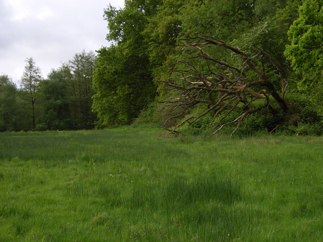
Alderdrove Copse is not only a natural wonder but also an important ecological site. It provides vital habitat for numerous flora and fauna, contributing to the overall biodiversity of the region. Its beauty and significance make it a cherished location for both locals and tourists alike, offering a respite from the hustle and bustle of everyday life.

If you have any feedback on the listing, please let us know in the comments section below.

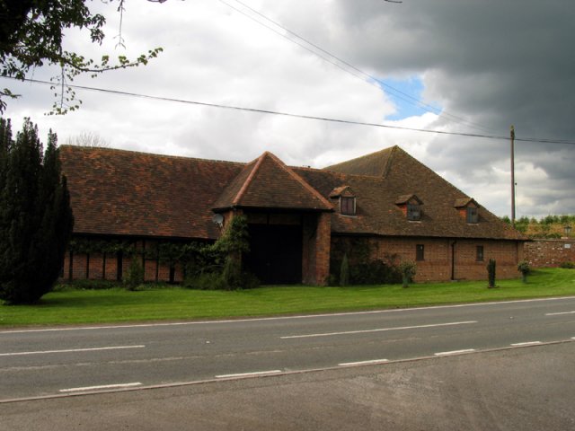
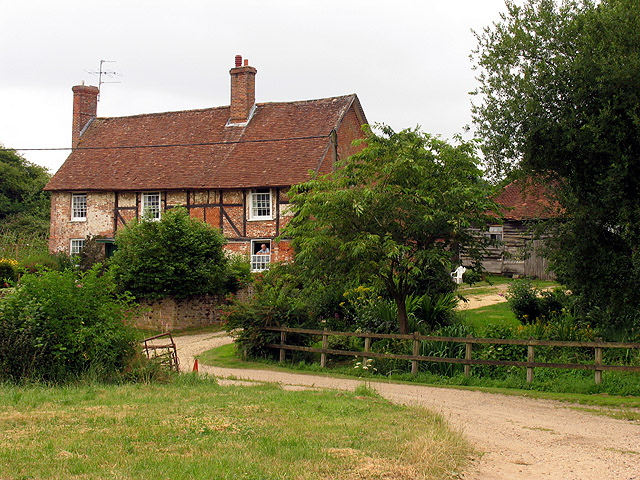
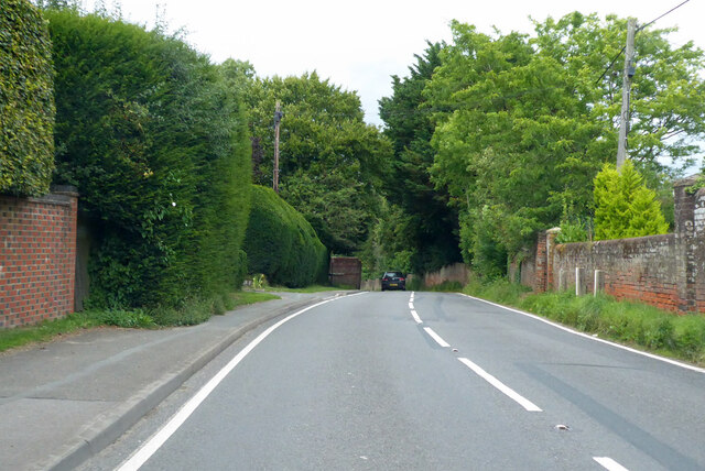
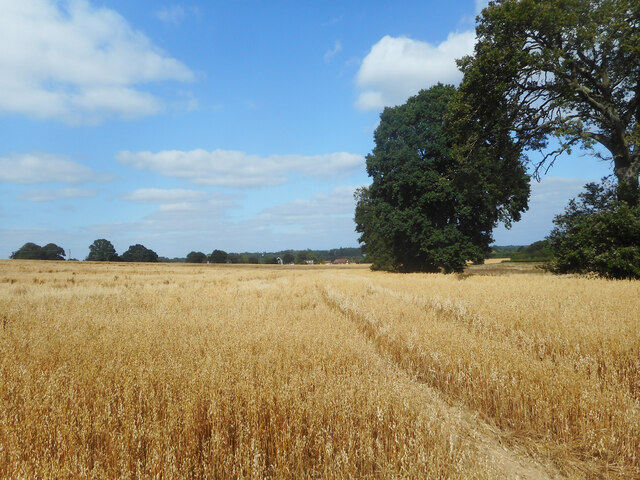
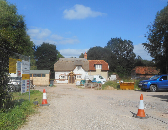
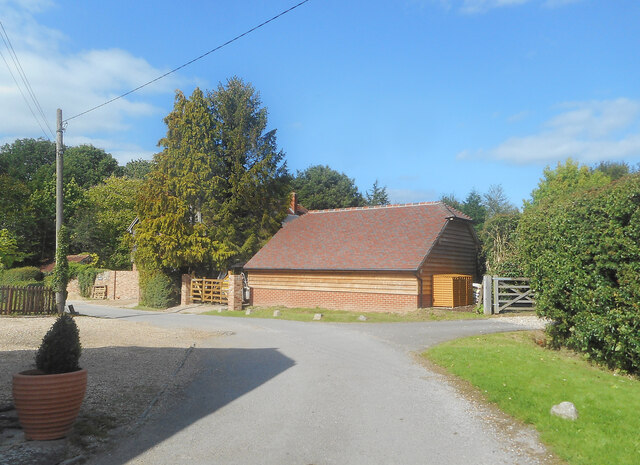
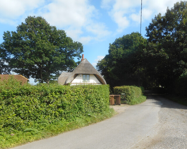
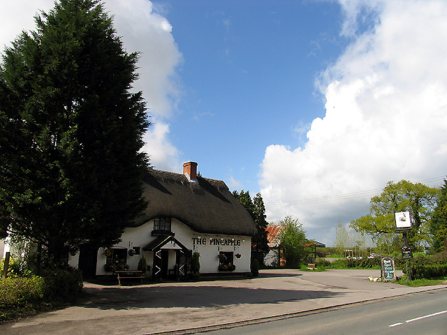
Alderdrove Copse Images

Images are sourced within 2km of 51.346066/-1.218075 or Grid Reference SU5461. Thanks to Geograph Open Source API. All images are credited.

Knowl Hill Farm Buildings This picture was taken from the private road that intersects with the road running diagonally from north to south across the grid square, looking north.
Knowl Hill Farm Buildings
This picture was taken from the private road that intersects with the road running diagonally from north to south across the grid square, looking north.
Farm near Ashford Hill At this point, the footpath splits and goes of at right angles to each other. This is the view at the split (Harriden's Farm).
Farm near Ashford Hill
At this point, the footpath splits and goes of at right angles to each other. This is the view at the split (Harriden's Farm).
Frith Common Looking across to Sandford Wood.
Frith Common
Looking across to Sandford Wood.
Pond near Frith Common One of two ponds in the vicinity that are not shown by the Ordnance Survey.
Pond near Frith Common
One of two ponds in the vicinity that are not shown by the Ordnance Survey.
Woodland stream, Frith Common The stream emanates from Sandford Springs, which give their name to the nearby golf club.
Woodland stream, Frith Common
The stream emanates from Sandford Springs, which give their name to the nearby golf club.
Lane at Frith Common Farm A public footpath on a private road.
Lane at Frith Common Farm
A public footpath on a private road.
Clinker's Copse The fringe of the wood where it meets a rather boggy meadow.
Clinker's Copse
The fringe of the wood where it meets a rather boggy meadow.
Pasture, Wolverton A field of long grass with a northeastern corner of Sandford Woods to the left.
Pasture, Wolverton
A field of long grass with a northeastern corner of Sandford Woods to the left.
Farmland, Kingsclere The edge of an arable field seen from the footpath between Knowl Hill and Harridens Farms.
Farmland, Kingsclere
The edge of an arable field seen from the footpath between Knowl Hill and Harridens Farms.
B3051 Little Knowl Hill From Kingsclere towards Aldermaston.
B3051 Little Knowl Hill
From Kingsclere towards Aldermaston.
B3051 Little Knowl Hill From Kingsclere towards Aldermaston.
B3051 Little Knowl Hill
From Kingsclere towards Aldermaston.
B3051, Ashford Hill From Kingsclere towards Aldermaston. The sign on the left is intended to warn of a skid hazard, but not doing a very good job of it.
B3051, Ashford Hill
From Kingsclere towards Aldermaston. The sign on the left is intended to warn of a skid hazard, but not doing a very good job of it.
B3051, Ashford Hill From Kingsclere towards Aldermaston.
B3051, Ashford Hill
From Kingsclere towards Aldermaston.
A Field of Oats, Kingsclere Woodlands
Renovations at Plastow Green One of the old houses is being done up.
Renovations at Plastow Green
One of the old houses is being done up.
Barn on the Corner One of the handful of places in the hamlet of Plastow Green
Barn on the Corner
One of the handful of places in the hamlet of Plastow Green
Thatch behind the Hedge An old house at the end of the road at Plastow Green.
Thatch behind the Hedge
An old house at the end of the road at Plastow Green.
Footpath through a hay field One of half a dozen footpaths which converge at a small wood called Watchbury Copse a short way along from here.
Footpath through a hay field
One of half a dozen footpaths which converge at a small wood called Watchbury Copse a short way along from here.
Show me another place!

Alderdrove Copse is located at Grid Ref: SU5461 (Lat: 51.346066, Lng: -1.218075)

Administrative County: Hampshire

District: Basingstoke and Deane

Police Authority: Hampshire

What 3 Words

///warned.measure.replaces. Near Kingsclere, Hampshire

Related Wikis

Ashford Hill

Ashford Hill is a village in Basingstoke and Deane, Hampshire, England. == Governance == The village of Ashford Hill is part of the civil parish of Ashford...

Ashford Hill with Headley

Ashford Hill with Headley is a civil parish in the Basingstoke and Deane district of Hampshire, England. The parish includes Ashford Hill, Plastow Green...

Plastow Green

Plastow Green is a hamlet in north Hampshire, England. == Governance == The hamlet is part of the civil parish of Ashford Hill with Headley, and is part...

Ashford Hill Woods and Meadows

Ashford Hill Woods and Meadows is a 141.5-hectare (350-acre) biological Site of Special Scientific Interest near Ashford Hill in Hampshire. An area of...

Ashford Hill NNR

Ashford Hill is a British national nature reserve next to the village of Ashford Hill in Hampshire. Part of the reserve is a designated a Site of Special...

Axmansford

Axmansford is a village in Hampshire, England. It is in the civil parish of Baughurst. == External links == Media related to Axmansford at Wikimedia Commons

Brimpton Common

Brimpton Common is a hamlet in Berkshire, England. It is part of Brimpton Parish, and part of the Benefice of Aldermaston and Woolhampton in the Diocese...

Wolverton, Hampshire

Wolverton is a village in north Hampshire, England. It is within the civil parish of Baughurst, and located approximately 7 miles (11 km) from both Newbury...

Nearby Amenities

Located within 500m of 51.346066,-1.218075
Post Box
Operator: Royal Mail
Post Box Type: lamp
Postal Code: RG19
Ref: RG19 174
Royal Cypher: EIIR
Royal Cypher Wikidata: Q33102113
Lat/Long: 51.3442064/-1.2135083
Dairy House Farm
Landuse: farm
Note Retag: CS #48756035
Source: OS_OpenData_StreetView
Lat/Long: 51.3428505/-1.2174221
The data included in this document is from www.openstreetmap.org. The data is made available under ODbL.

Have you been to Alderdrove Copse?

Leave your review of Alderdrove Copse below (or comments, questions and feedback).