Oldbarn Spinney
Wood, Forest in Northamptonshire
England
Oldbarn Spinney

Oldbarn Spinney is a charming woodland located in Northamptonshire, England. Situated near the village of Wood, this forested area covers an approximate area of 50 acres. It is a popular destination for nature enthusiasts and locals seeking tranquility amidst the bustling urban life.
The spinney boasts a diverse range of deciduous and evergreen trees, including oak, beech, birch, and pine. The dense canopy created by these trees provides a cool and shaded environment, making it an ideal spot for a leisurely stroll or a picnic on a sunny day. The forest floor is covered with a lush carpet of ferns, wildflowers, and moss, adding to the enchanting atmosphere.
Numerous walking trails wind their way through Oldbarn Spinney, allowing visitors to explore the woodland's natural beauty. The paths are well-maintained and signposted, ensuring easy navigation and accessibility for all. Along these trails, one may encounter a variety of wildlife, including deer, squirrels, rabbits, and a plethora of bird species.
Oldbarn Spinney offers a peaceful retreat from the hustle and bustle of everyday life. The serenity of the woodland, coupled with the soothing sounds of birdsong and rustling leaves, creates a calming ambiance that attracts visitors seeking solace and a connection with nature. The forest also serves as an educational resource, providing an opportunity to learn about the local ecosystem and the importance of conservation.
Overall, Oldbarn Spinney is a picturesque and serene woodland that offers visitors a chance to escape into nature's embrace. Its idyllic setting and rich biodiversity make it a cherished gem in the Northamptonshire countryside.
If you have any feedback on the listing, please let us know in the comments section below.
Oldbarn Spinney Images
Images are sourced within 2km of 52.084671/-1.2052072 or Grid Reference SP5443. Thanks to Geograph Open Source API. All images are credited.


Oldbarn Spinney is located at Grid Ref: SP5443 (Lat: 52.084671, Lng: -1.2052072)
Unitary Authority: West Northamptonshire
Police Authority: Northamptonshire
What 3 Words
///skim.study.lads. Near Brackley, Northamptonshire
Nearby Locations
Related Wikis
Marston St. Lawrence
Marston St. Lawrence is a village and civil parish about 4 miles (6.4 km) northwest of Brackley in Northamptonshire. A stream flows through the village...
Greatworth
Greatworth is a village in the civil parish of Greatworth and Halse about 4 miles (6.4 km) north-west of Brackley, West Northamptonshire, England. The...
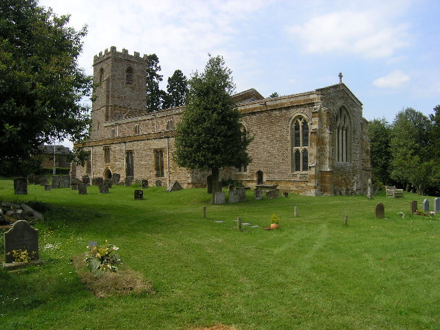
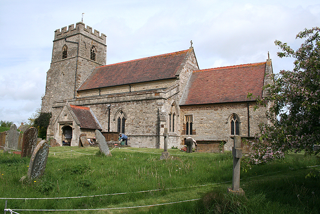
St Lawrence's Church, Marston St Lawrence
St Lawrence's Church, is the parish church of Marston St. Lawrence, Northamptonshire, England. It is a Grade I listed building. The parish is a member...
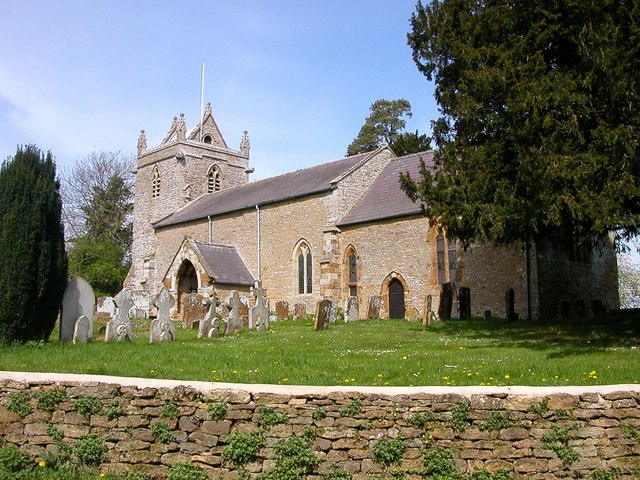
Thorpe Mandeville
Thorpe Mandeville is a village and civil parish in West Northamptonshire, England about 6 miles (10 km) northeast of Banbury in neighbouring Oxfordshire...
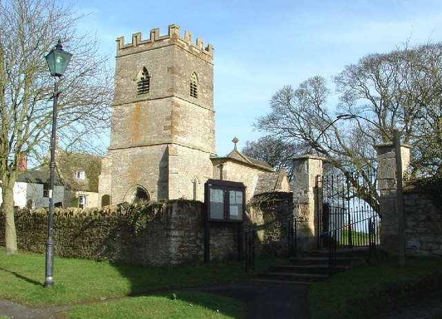
Church of St James the Less, Sulgrave
The Church of St James the Less, Sulgrave, is the Church of England parish church of Sulgrave, a village and civil parish about 5 miles (8 km) north of...

Sulgrave
Sulgrave is a village and civil parish in West Northamptonshire, England, about 5 miles (8 km) north of Brackley. The village is just south of a stream...
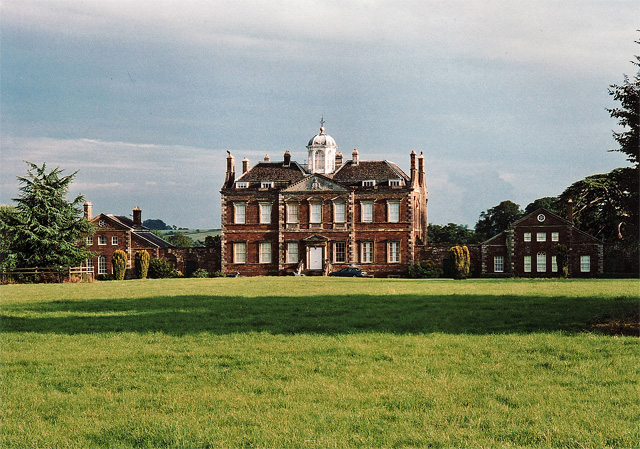
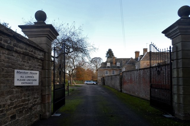
Thenford House
Thenford House, Thenford, Northamptonshire, England is an 18th-century country house built for Michael Wodhull, the bibliophile and translator. Wodhull...

Courteenhall House
Courteenhall House, Courteenhall, Northamptonshire, England is an 18th-century country house built for Sir William Wake, 9th Baronet. Wake's architect...
Nearby Amenities
Located within 500m of 52.084671,-1.2052072Have you been to Oldbarn Spinney?
Leave your review of Oldbarn Spinney below (or comments, questions and feedback).