Hanging Spinney

Wood, Forest in Northamptonshire

England

Hanging Spinney

Turning to Halse
Turning to Halse Credit: Sarah Charlesworth

Hanging Spinney is a picturesque wood located in the county of Northamptonshire, England. Situated near the village of Woodford, it is a popular destination for nature enthusiasts and hikers alike.

Covering an area of approximately 50 acres, Hanging Spinney is predominantly composed of a diverse mix of deciduous trees, including oak, ash, and birch. The wood is known for its dense canopy, which provides a cool and shaded environment during the summer months. In spring, the forest floor is adorned with a vibrant carpet of bluebells, creating a stunning display of color.

The wood is crisscrossed by a network of well-maintained footpaths, allowing visitors to explore its beauty at their own pace. These paths lead to various points of interest within the wood, such as a small pond inhabited by ducks and other waterfowl. The tranquil ambiance of the wood is further enhanced by the presence of numerous bird species, including woodpeckers and songbirds.

Hanging Spinney is also home to a rich array of wildlife, providing a habitat for deer, foxes, and rabbits. The wood's secluded nature makes it an ideal spot for observing and photographing these creatures in their natural environment.

Overall, Hanging Spinney offers a peaceful retreat from the hustle and bustle of everyday life. Its natural beauty and abundant wildlife make it a must-visit destination for anyone seeking a serene and idyllic woodland experience in Northamptonshire.

If you have any feedback on the listing, please let us know in the comments section below.

Hanging Spinney Images

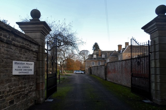
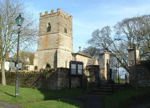
Images are sourced within 2km of 52.084065/-1.2086475 or Grid Reference SP5443. Thanks to Geograph Open Source API. All images are credited.

Turning to Halse
Turning to Halse
Churchyard at Marston St Lawrence
Cloches in field near Marston St Lawrence
Unfenced track across the field
Approach to Marston St Lawrence
The Three Conies Not the sort of pub one should rabbit-on about but it's 17th C and an old drovers drinking house.English Heritage Building ID: 234502. See also: <span class="nowrap"><a title="http://www.britishlistedbuildings.co.uk/en-234502-three-conies-inn-thorpe-mandeville" rel="nofollow ugc noopener" href="http://www.britishlistedbuildings.co.uk/en-234502-three-conies-inn-thorpe-mandeville">Link</a><img style="margin-left:2px;" alt="External link" title="External link - shift click to open in new window" src="https://s1.geograph.org.uk/img/external.png" width="10" height="10"/></span>
The Three Conies
Not the sort of pub one should rabbit-on about but it's 17th C and an old drovers drinking house.English Heritage Building ID: 234502. See also: LinkExternal link
B4525 east of Thenford Hill Farm
B4525 north of Thenford Hill Farm
B4525 north of Marstonhill Farm
B4525 west of Stuchbury Manor Farm
B4525 north of Greatworth Hall
Walls of Garden to Manor House, Greatworth The gate pillars are C18. See <span class="nowrap"><a title="http://www.britishlistedbuildings.co.uk/en-234007-east-gatepier-in-garden-wall-approximate" rel="nofollow ugc noopener" href="http://www.britishlistedbuildings.co.uk/en-234007-east-gatepier-in-garden-wall-approximate">Link</a><img style="margin-left:2px;" alt="External link" title="External link - shift click to open in new window" src="https://s1.geograph.org.uk/img/external.png" width="10" height="10"/></span> for entry in British Listed Buildings
Walls of Garden to Manor House, Greatworth
The gate pillars are C18. See LinkExternal link for entry in British Listed Buildings
St Peter's church, Greatworth The ealiest parts of the church are C13. The tower is C14 and some of the windows were added in C17. Restoration  was carried out in C19.
St Peter's church, Greatworth
The ealiest parts of the church are C13. The tower is C14 and some of the windows were added in C17. Restoration was carried out in C19.
Greatworth Most of the buildings in the village are of local stone.
Greatworth
Most of the buildings in the village are of local stone.
The Inn, Greatworth A change of paint and removal of the creepers on the building since this photo <a title="https://www.geograph.org.uk/photo/425698" href="https://www.geograph.org.uk/photo/425698">Link</a> in 2007.
The Inn, Greatworth
A change of paint and removal of the creepers on the building since this photo Link in 2007.
Bus shelter, Greatworth The plaque says that it was built to commemorate the Queen's coronation in 1953.
Bus shelter, Greatworth
The plaque says that it was built to commemorate the Queen's coronation in 1953.
Entrance to Marston House Built c16-17 but incorporating elements of an earlier structure. Remodelled in 1730 and additions made in C19. See <span class="nowrap"><a title="http://www.britishlistedbuildings.co.uk/en-234423-marston-house-marston-st-lawrence-northa" rel="nofollow ugc noopener" href="http://www.britishlistedbuildings.co.uk/en-234423-marston-house-marston-st-lawrence-northa">Link</a><img style="margin-left:2px;" alt="External link" title="External link - shift click to open in new window" src="https://s1.geograph.org.uk/img/external.png" width="10" height="10"/></span> for entry in British Listed Buildings It was owned by the Blencowe family from C16 until 1955. One member of the family John Blencowe (1642-1726) was M.P. for nearby Brackley from 1690-5 following the restoration of the monarchy.
Entrance to Marston House
Built c16-17 but incorporating elements of an earlier structure. Remodelled in 1730 and additions made in C19. See LinkExternal link for entry in British Listed Buildings It was owned by the Blencowe family from C16 until 1955. One member of the family John Blencowe (1642-1726) was M.P. for nearby Brackley from 1690-5 following the restoration of the monarchy.
Stone cottages, Marston St Lawrence
Show me another place!

Hanging Spinney is located at Grid Ref: SP5443 (Lat: 52.084065, Lng: -1.2086475)

Unitary Authority: West Northamptonshire

Police Authority: Northamptonshire

What 3 Words

///height.buggy.aunts. Near Brackley, Northamptonshire

Related Wikis

Marston St. Lawrence

Marston St. Lawrence is a village and civil parish about 4 miles (6.4 km) northwest of Brackley in Northamptonshire. A stream flows through the village...

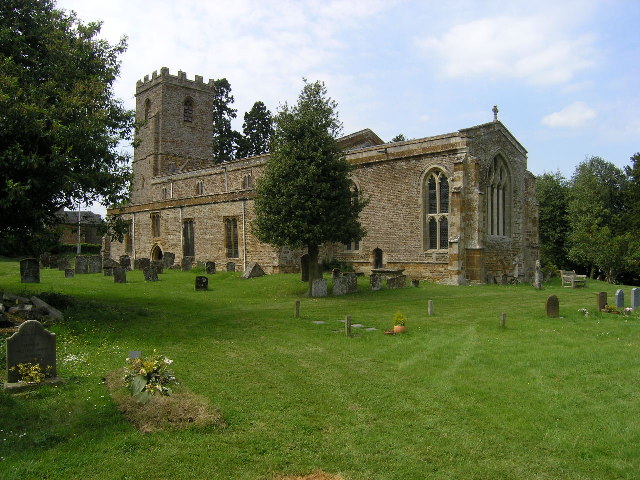
St Lawrence's Church, Marston St Lawrence

St Lawrence's Church, is the parish church of Marston St. Lawrence, Northamptonshire, England. It is a Grade I listed building. The parish is a member...

Greatworth

Greatworth is a village in the civil parish of Greatworth and Halse about 4 miles (6.4 km) north-west of Brackley, West Northamptonshire, England. The...

Thorpe Mandeville

Thorpe Mandeville is a village and civil parish in West Northamptonshire, England about 6 miles (10 km) northeast of Banbury in neighbouring Oxfordshire...

Nearby Amenities

Located within 500m of 52.084065,-1.2086475
Power: pole
Lat/Long: 52.0814229/-1.2029865
Power: pole
Lat/Long: 52.0810925/-1.2118456
Power: pole
Lat/Long: 52.0813494/-1.204599
Power: pole
Lat/Long: 52.0810621/-1.2132955
Power: pole
Lat/Long: 52.0812687/-1.2062681
Power: pole
Lat/Long: 52.0812058/-1.2076587
Power: pole
Lat/Long: 52.0811381/-1.2103661
Power: pole
Lat/Long: 52.0811786/-1.2085938
Building: yes
Lat/Long: 52.0872013/-1.2124053
Turning Circle
Lat/Long: 52.0825723/-1.2067534
Power: pole
Lat/Long: 52.0864511/-1.2121
Power: pole
Lat/Long: 52.085891/-1.2120061
Power: pole
Lat/Long: 52.0852739/-1.2119105
Power: pole
Lat/Long: 52.0846894/-1.211817
Power: pole
Lat/Long: 52.0840173/-1.2117073
Power: pole
Lat/Long: 52.0833053/-1.2116016
Power: pole
Lat/Long: 52.0825796/-1.2116646
Power: pole
Lat/Long: 52.0818388/-1.2117601
Power: pole
Lat/Long: 52.0801459/-1.2098148
Power: pole
Lat/Long: 52.0806487/-1.2092381
Power: pole
Lat/Long: 52.0815989/-1.2081222
Power: pole
Lat/Long: 52.0820753/-1.2075825
Information: guidepost
Tourism: information
Lat/Long: 52.0829263/-1.209317
The data included in this document is from www.openstreetmap.org. The data is made available under ODbL.

Have you been to Hanging Spinney?

Leave your review of Hanging Spinney below (or comments, questions and feedback).