Blewburton Wood

Wood, Forest in Berkshire South Oxfordshire

England

Blewburton Wood

Path to Cholsey From Aston Tirrold a concrete path at this point to Cholsey
Path to Cholsey Credit: Shaun Ferguson

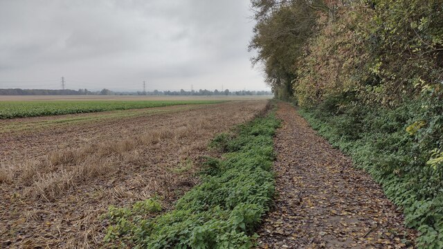
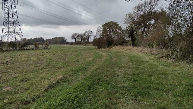
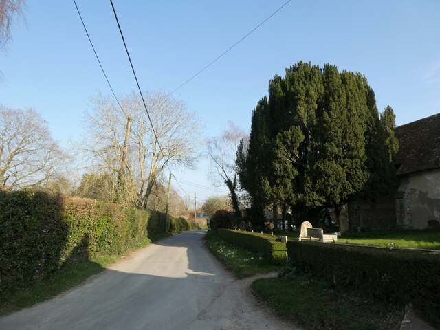
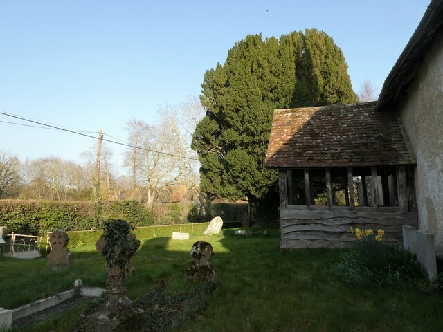
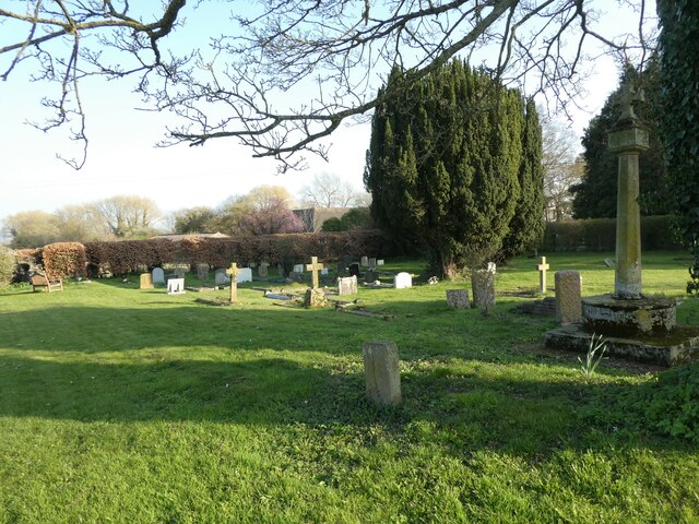
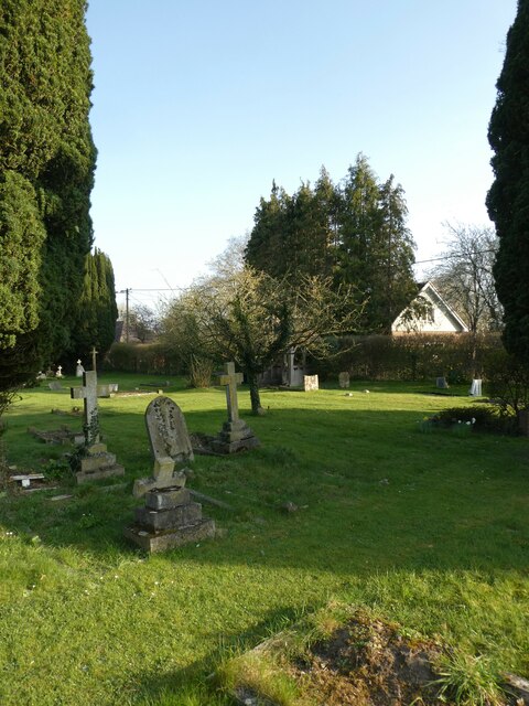
Blewburton Wood is a picturesque woodland located in Berkshire, England. Situated near the village of Blewbury, the wood is a popular destination for nature enthusiasts and hikers alike. Covering an area of approximately 100 acres, it is known for its diverse flora and fauna, providing a haven for a variety of wildlife.

The woodland features a mix of deciduous and evergreen trees, including oak, beech, and conifers. These towering trees create a lush canopy that filters the sunlight, casting dappled shadows on the forest floor. In spring, the wood is transformed into a colorful spectacle as wildflowers, such as bluebells and primroses, bloom in abundance.

Traversing through the wood, visitors will discover a network of well-maintained footpaths and trails. These paths allow individuals to explore the wood at their own leisure, taking in the tranquil surroundings and enjoying the peaceful atmosphere. Birdwatchers are often rewarded with sightings of various species, including woodpeckers, owls, and songbirds.

Blewburton Wood is also home to a rich assortment of wildlife. Squirrels scurry among the branches, while deer can occasionally be spotted grazing in the glades. Numerous insects, such as butterflies and bees, flit from flower to flower, pollinating the vibrant plants.

Maintained by local conservation groups, the wood is carefully managed to preserve its natural beauty and ecological integrity. Visitors are encouraged to follow the designated paths and adhere to any rules or regulations in place to ensure the protection of this valuable woodland ecosystem.

If you have any feedback on the listing, please let us know in the comments section below.

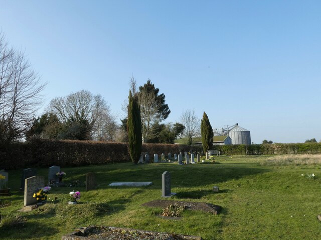
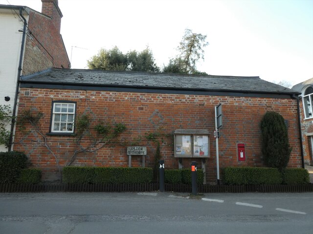
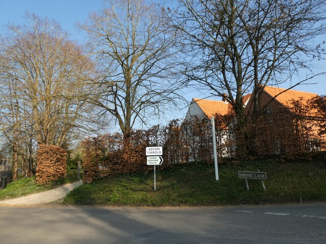
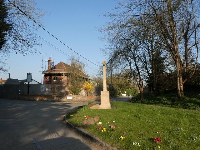
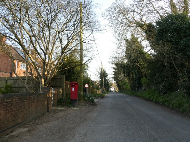
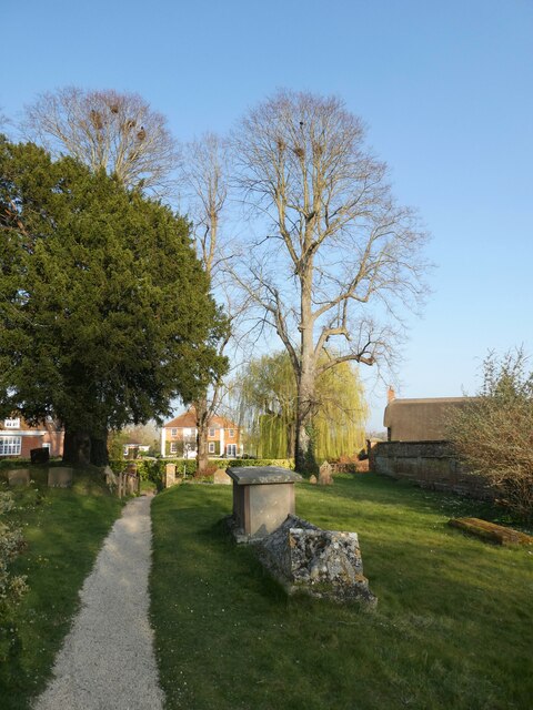
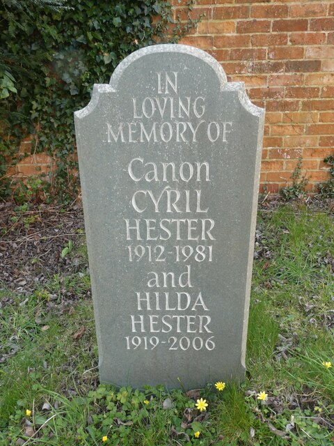
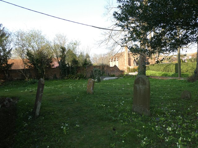
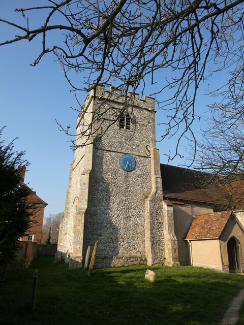
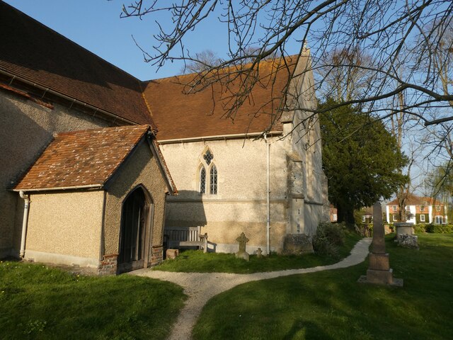
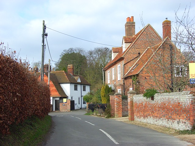
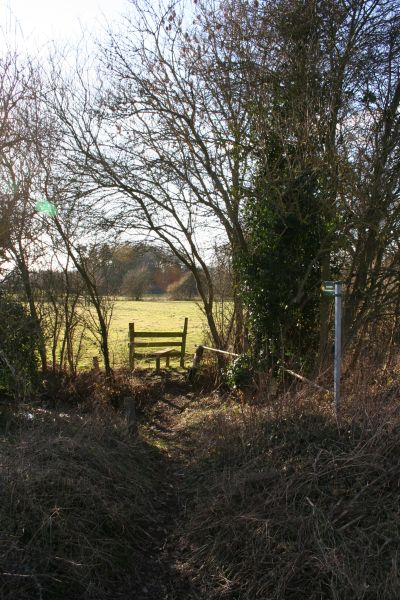
Blewburton Wood Images

Images are sourced within 2km of 51.570933/-1.2103141 or Grid Reference SU5486. Thanks to Geograph Open Source API. All images are credited.

Path to Cholsey From Aston Tirrold a concrete path at this point to Cholsey
Path to Cholsey
From Aston Tirrold a concrete path at this point to Cholsey
Path heading toward East Hagbourne Path from South Moreton heading under the wires toward East Hagbourne
Path heading toward East Hagbourne
Path from South Moreton heading under the wires toward East Hagbourne
All Saints, Aston Upthorpe
You are now entering...Aston Upthorpe
Looking east-northeast along Thorpe Street
All Saints, Aston Upthorpe: churchyard
St Michael's Cemetery (1)
St Michael's Cemetery (2)
St Michael's Cemetery (3)
Rush hour in Aston Upthorpe
Rush hour in Aston Tirrold
Aston Tirrold War Memorial: late March 2022
Post box in Baker Street
St Michael's Churchyard (1)
St Michael's Churchyard (2) Canon Hester was born in 1912 and educated at King's College London <span class="nowrap"><a title="https://en.wikipedia.org/wiki/King%27s_College_London" rel="nofollow ugc noopener" href="https://en.wikipedia.org/wiki/King%27s_College_London">Link</a><img style="margin-left:2px;" alt="External link" title="External link - shift click to open in new window" src="https://s1.geograph.org.uk/img/external.png" width="10" height="10"/></span> He was ordained Deacon in 1941 and Priest in 1942. After a curacy at Whitton <span class="nowrap"><a title="https://en.wikipedia.org/wiki/Whitton,_London#Churches" rel="nofollow ugc noopener" href="https://en.wikipedia.org/wiki/Whitton,_London#Churches">Link</a><img style="margin-left:2px;" alt="External link" title="External link - shift click to open in new window" src="https://s1.geograph.org.uk/img/external.png" width="10" height="10"/></span> he was Succentor at Leicester Cathedral He held incumbencies at Ravenstone <span class="nowrap"><a title="https://en.wikipedia.org/wiki/Ravenstone,_Buckinghamshire" rel="nofollow ugc noopener" href="https://en.wikipedia.org/wiki/Ravenstone,_Buckinghamshire">Link</a><img style="margin-left:2px;" alt="External link" title="External link - shift click to open in new window" src="https://s1.geograph.org.uk/img/external.png" width="10" height="10"/></span> Wooburn <span class="nowrap"><a title="https://en.wikipedia.org/wiki/Wooburn" rel="nofollow ugc noopener" href="https://en.wikipedia.org/wiki/Wooburn">Link</a><img style="margin-left:2px;" alt="External link" title="External link - shift click to open in new window" src="https://s1.geograph.org.uk/img/external.png" width="10" height="10"/></span> Buckingham <span class="nowrap"><a title="https://en.wikipedia.org/wiki/Buckingham" rel="nofollow ugc noopener" href="https://en.wikipedia.org/wiki/Buckingham">Link</a><img style="margin-left:2px;" alt="External link" title="External link - shift click to open in new window" src="https://s1.geograph.org.uk/img/external.png" width="10" height="10"/></span> and Wallingford <span class="nowrap"><a title="https://en.wikipedia.org/wiki/Wallingford,_Oxfordshire" rel="nofollow ugc noopener" href="https://en.wikipedia.org/wiki/Wallingford,_Oxfordshire">Link</a><img style="margin-left:2px;" alt="External link" title="External link - shift click to open in new window" src="https://s1.geograph.org.uk/img/external.png" width="10" height="10"/></span> before coming here.
St Michael's Churchyard (2)
Canon Hester was born in 1912 and educated at King's College London LinkExternal link He was ordained Deacon in 1941 and Priest in 1942. After a curacy at Whitton LinkExternal link he was Succentor at Leicester Cathedral He held incumbencies at Ravenstone LinkExternal link Wooburn LinkExternal link Buckingham LinkExternal link and Wallingford LinkExternal link before coming here.
St Michael's Churchyard (3)
St Michael's Churchyard (4)
St Michael's Churchyard (5)
Show me another place!

Blewburton Wood is located at Grid Ref: SU5486 (Lat: 51.570933, Lng: -1.2103141)

Administrative County: Oxfordshire

District: South Oxfordshire

Police Authority: Thames Valley

What 3 Words

///buzzards.dummy.zooms. Near Blewbury, Oxfordshire

Related Wikis

Blewburton Hill

Blewburton Hill is the site of an Iron Age hillfort located in Oxfordshire, in the southeast of England. It was a univallate hillfort (with a single rampart...
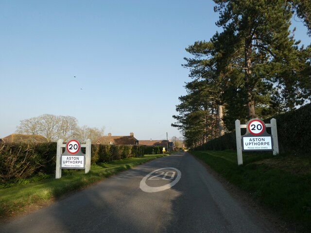
Aston Upthorpe

Aston Upthorpe is a village and civil parish about 3 miles (5 km) southeast of Didcot in South Oxfordshire. It was part of Berkshire until the 1974 boundary...

Aston Tirrold

Aston Tirrold is a village and civil parish at the foot of the Berkshire Downs about 3 miles (5 km) southeast of Didcot. It was part of Berkshire until...

Blewbury

Blewbury is a village and civil parish at the foot of the Berkshire Downs section of the North Wessex Downs about 4 miles (6.4 km) south of Didcot, 14...

South Moreton Castle

South Moreton Castle was an 11th-century castle in the village of South Moreton, Oxfordshire, (historically in Berkshire until the 1974 reorganisation...

South Moreton

South Moreton is a village and civil parish in South Oxfordshire, England, about 3 miles (5 km) east of Didcot, 4 miles (6.4 km) west of Wallingford, and...

Aston Upthorpe Downs

Aston Upthorpe Downs is a 38.5-hectare (95-acre) biological Site of Special Scientific Interest south of Aston Upthorpe in Oxfordshire. It is a Nature...

Fulscot

Fulscot is a hamlet in South Moreton civil parish in South Oxfordshire, about 0.5 miles (800 m) west of the village. In 1974 it was transferred from Berkshire...

Nearby Amenities

Located within 500m of 51.570933,-1.2103141
Blewburton Hill
Ele: 106
Natural: peak
Lat/Long: 51.5713344/-1.2133456
Power: pole
Source: Bing
Lat/Long: 51.5676389/-1.2063235
Power: pole
Source: Bing
Lat/Long: 51.569271/-1.2060471
Power: pole
Source: Bing
Lat/Long: 51.5699096/-1.2107221
Power: pole
Source: Bing
Lat/Long: 51.5698196/-1.2129832
Power: pole
Source: Bing
Lat/Long: 51.5697378/-1.2153114
Power: pole
Source: Bing
Lat/Long: 51.5696896/-1.2167705
Power: pole
Source: Bing
Lat/Long: 51.5700029/-1.2084235
Barrier: kissing_gate
Lat/Long: 51.5753513/-1.210539
Barrier: kissing_gate
Lat/Long: 51.5727268/-1.2130593
Barrier: kissing_gate
Lat/Long: 51.5698406/-1.2139406
Direction: 195
Generator Method: photovoltaic
Generator Output Electricity: yes
Generator Solar Modules: 9
Generator Source: solar
Generator Type: solar_photovoltaic_panel
Location: roof
Power: generator
Lat/Long: 51.5722882/-1.2041606
The data included in this document is from www.openstreetmap.org. The data is made available under ODbL.

Have you been to Blewburton Wood?

Leave your review of Blewburton Wood below (or comments, questions and feedback).