Blewburton Hill
Hill, Mountain in Berkshire South Oxfordshire
England
Blewburton Hill
Blewburton Hill is a prominent hill located in the county of Berkshire, England. Rising to an elevation of 197 meters (646 feet), it is considered one of the highest points in the region. Situated in the village of Blewbury, the hill offers stunning panoramic views of the surrounding countryside, making it a popular destination for nature enthusiasts and hikers.
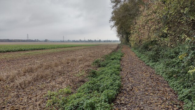
The hill is predominantly covered with lush green grass and is adorned with a variety of trees, including beech, oak, and ash. Its diverse vegetation provides a habitat for various wildlife species, making it a haven for birdwatchers and nature photographers. Additionally, the hill is home to several species of wildflowers, which add bursts of color to the landscape during the spring and summer months.
Blewburton Hill has a rich historical significance, with evidence of human activity dating back to the Iron Age. Archaeological excavations have revealed the presence of an ancient hillfort on the summit, which is believed to have been occupied between 700 and 400 BCE. The fortification's earthworks are still visible today, providing a glimpse into the area's past.
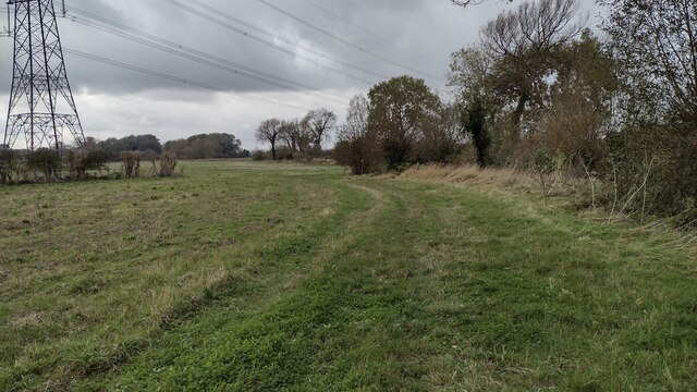
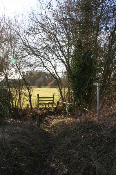
Visitors to Blewburton Hill can explore the surrounding countryside through a network of well-maintained footpaths and trails. These paths offer opportunities for leisurely walks or more challenging hikes, catering to a range of fitness levels. Many visitors also take advantage of the hill's elevated position to witness breathtaking sunrises or sunsets, capturing memorable moments against the picturesque backdrop.
In conclusion, Blewburton Hill in Berkshire is a natural gem, offering both historical and scenic attractions. Whether it's taking in the sweeping views, discovering the ancient hillfort, or enjoying the abundance of flora and fauna, this hill is a destination that appeals to both nature lovers and history enthusiasts alike.
If you have any feedback on the listing, please let us know in the comments section below.
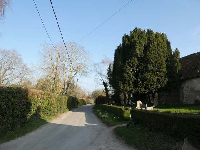
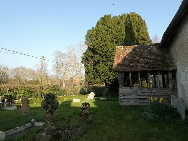
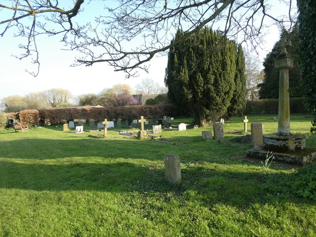
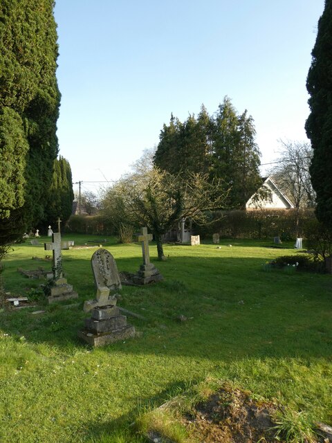
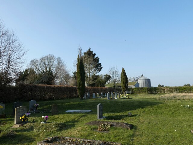
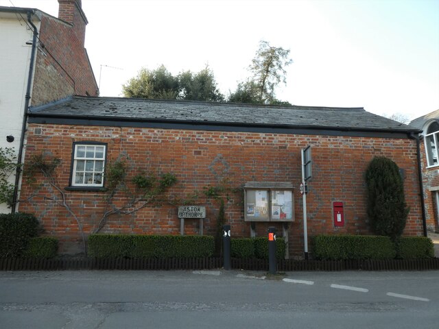
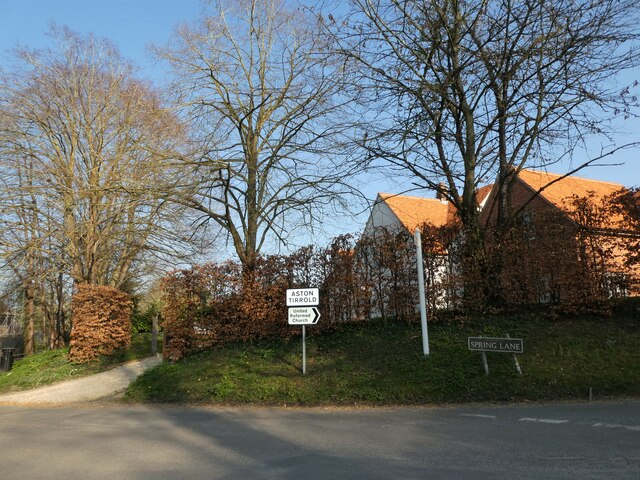
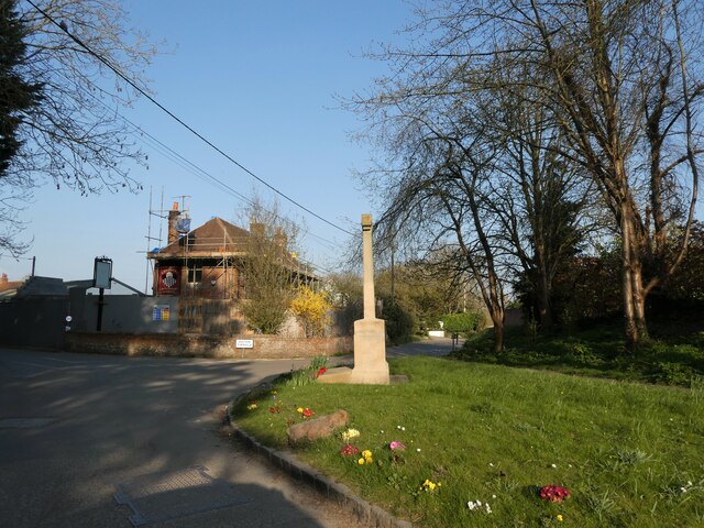
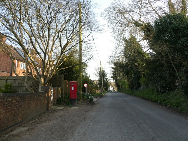
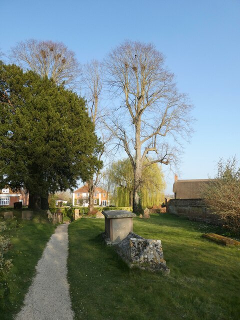
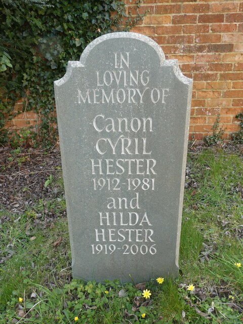
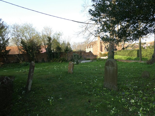
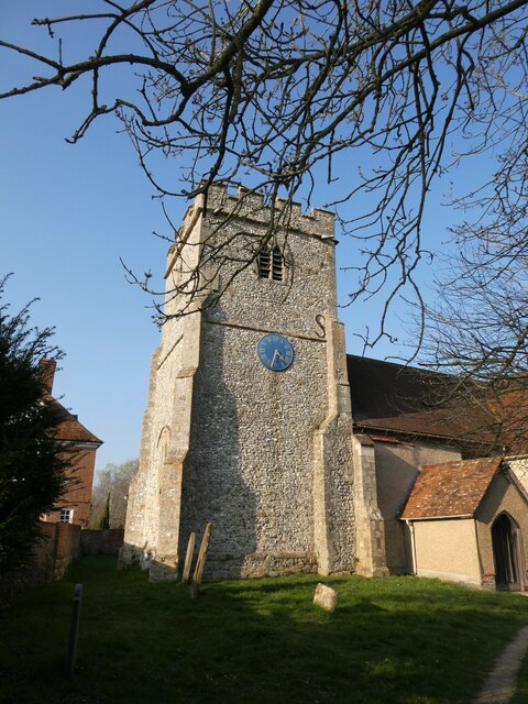
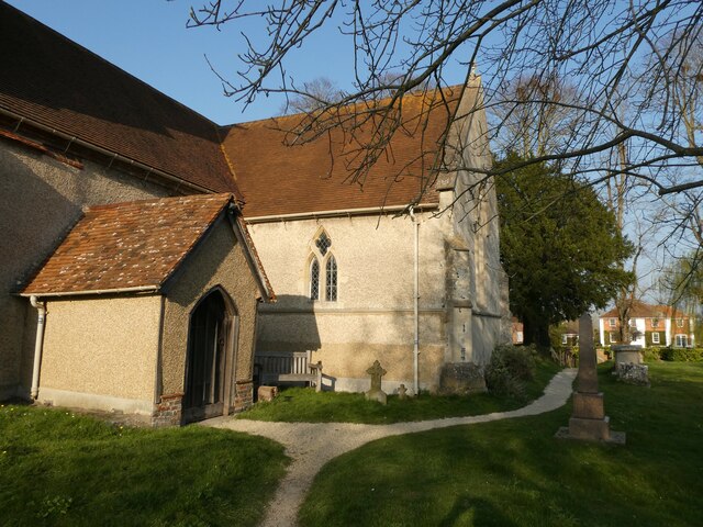
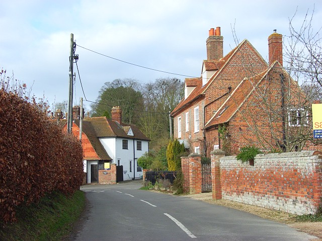
Blewburton Hill Images
Images are sourced within 2km of 51.571376/-1.2120379 or Grid Reference SU5486. Thanks to Geograph Open Source API. All images are credited.
Blewburton Hill is located at Grid Ref: SU5486 (Lat: 51.571376, Lng: -1.2120379)
Administrative County: Oxfordshire
District: South Oxfordshire
Police Authority: Thames Valley
What 3 Words
///asset.tortoises.cringes. Near Blewbury, Oxfordshire
Nearby Locations
Related Wikis

Blewburton Hill
Blewburton Hill is the site of an Iron Age hillfort located in Oxfordshire, in the southeast of England. It was a univallate hillfort (with a single rampart...
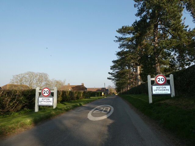
Aston Upthorpe
Aston Upthorpe is a village and civil parish about 3 miles (5 km) southeast of Didcot in South Oxfordshire. It was part of Berkshire until the 1974 boundary...

Aston Tirrold
Aston Tirrold is a village and civil parish at the foot of the Berkshire Downs about 3 miles (5 km) southeast of Didcot. It was part of Berkshire until...

Blewbury
Blewbury is a village and civil parish at the foot of the Berkshire Downs section of the North Wessex Downs about 4 miles (6.4 km) south of Didcot, 14...

South Moreton Castle
South Moreton Castle was an 11th-century castle in the village of South Moreton, Oxfordshire, (historically in Berkshire until the 1974 reorganisation...

South Moreton
South Moreton is a village and civil parish in South Oxfordshire, England, about 3 miles (5 km) east of Didcot, 4 miles (6.4 km) west of Wallingford, and...

Aston Upthorpe Downs
Aston Upthorpe Downs is a 38.5-hectare (95-acre) biological Site of Special Scientific Interest south of Aston Upthorpe in Oxfordshire. It is a Nature...
Fulscot
Fulscot is a hamlet in South Moreton civil parish in South Oxfordshire, about 0.5 miles (800 m) west of the village. In 1974 it was transferred from Berkshire...
Nearby Amenities
Located within 500m of 51.571376,-1.2120379Have you been to Blewburton Hill?
Leave your review of Blewburton Hill below (or comments, questions and feedback).