Blewburton Hill Danish Camp

Heritage Site in Berkshire South Oxfordshire

England

Blewburton Hill Danish Camp

Path to Cholsey From Aston Tirrold a concrete path at this point to Cholsey
Path to Cholsey Credit: Shaun Ferguson

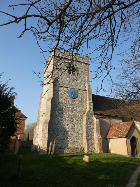
Blewburton Hill Danish Camp is a significant heritage site located in Berkshire, England. Situated on the outskirts of the village of Blewbury, this ancient earthwork is believed to date back to the Early Medieval period, specifically the 9th century. The site consists of a large circular mound, approximately 80 meters in diameter, which once housed a defensive fortification.

The origins of the hill fort are thought to be Danish, hence the name "Danish Camp." It is believed that the Danish invaders constructed the fortification as a defensive stronghold during their occupation of the area. The site's strategic location on top of a hill provided a commanding view of the surrounding landscape, allowing its inhabitants to spot potential threats from afar.

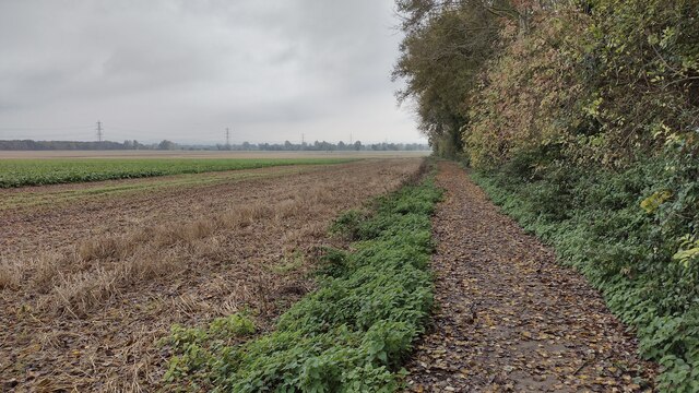
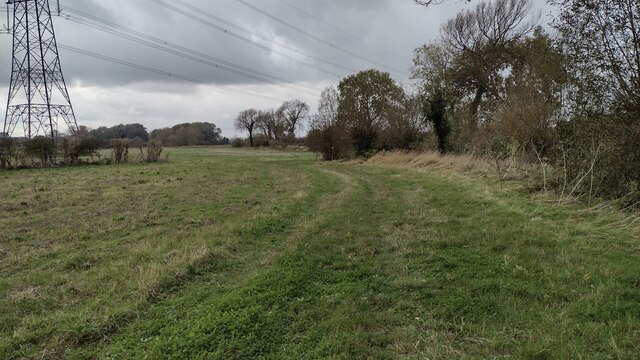
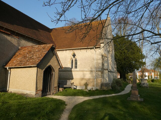
Although little remains of the original structure, the earthworks are still clearly visible today. The circular mound is surrounded by a deep ditch, further enhancing its defensive capabilities. Archaeological excavations conducted at Blewburton Hill Danish Camp have uncovered evidence of human occupation, including pottery and other artifacts from the Early Medieval period.

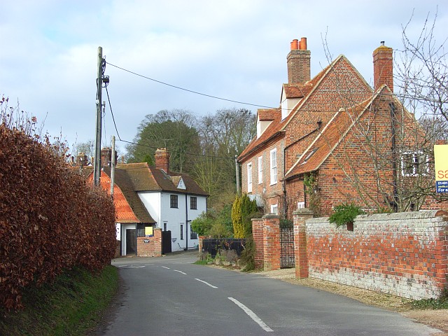
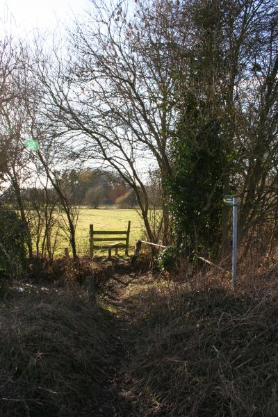
The site is now a designated Scheduled Ancient Monument, protected by law due to its historical and cultural significance. It attracts visitors interested in exploring the area's rich history and experiencing the ancient atmosphere of the hill fort. The surrounding landscape offers picturesque views, making it a popular spot for walkers and nature enthusiasts as well.

Overall, Blewburton Hill Danish Camp serves as a reminder of the region's past and provides valuable insights into the defensive strategies employed during the Early Medieval period.

If you have any feedback on the listing, please let us know in the comments section below.

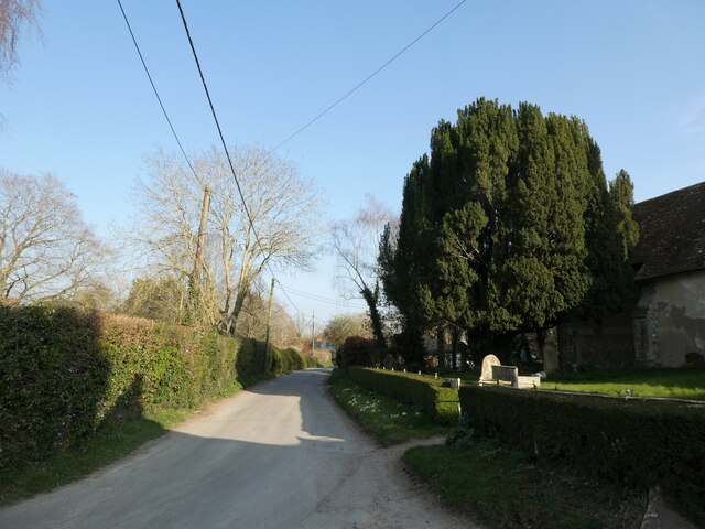
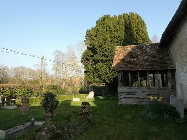
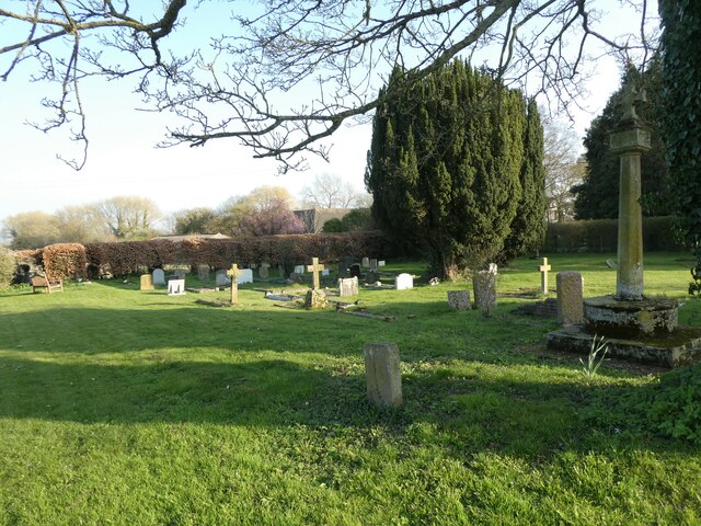
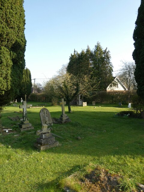
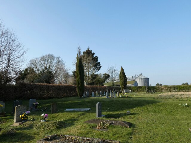
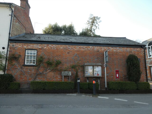
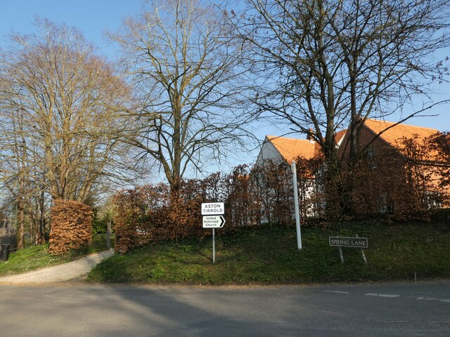
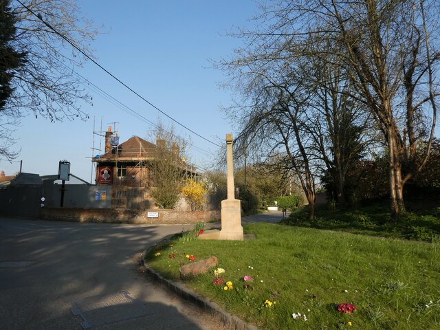
Blewburton Hill Danish Camp Images

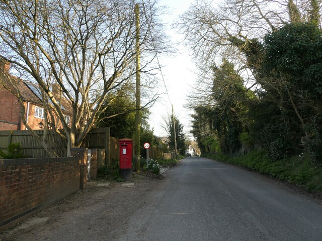
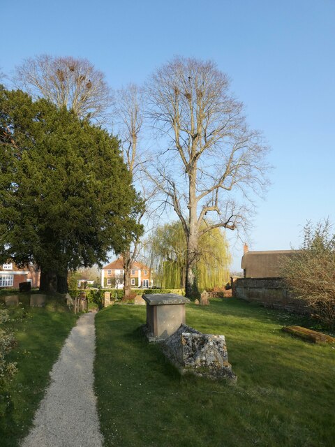
Images are sourced within 2km of 51.5715/-1.2121 or Grid Reference SU5486. Thanks to Geograph Open Source API. All images are credited.

Path to Cholsey From Aston Tirrold a concrete path at this point to Cholsey
Path to Cholsey
From Aston Tirrold a concrete path at this point to Cholsey
Path heading toward East Hagbourne Path from South Moreton heading under the wires toward East Hagbourne
Path heading toward East Hagbourne
Path from South Moreton heading under the wires toward East Hagbourne
All Saints, Aston Upthorpe
You are now entering...Aston Upthorpe
Looking east-northeast along Thorpe Street
All Saints, Aston Upthorpe: churchyard
St Michael's Cemetery (1)
St Michael's Cemetery (2)
St Michael's Cemetery (3)
Rush hour in Aston Upthorpe
Rush hour in Aston Tirrold
Aston Tirrold War Memorial: late March 2022
Post box in Baker Street
St Michael's Churchyard (1)
St Michael's Churchyard (2) Canon Hester was born in 1912 and educated at King's College London <span class="nowrap"><a title="https://en.wikipedia.org/wiki/King%27s_College_London" rel="nofollow ugc noopener" href="https://en.wikipedia.org/wiki/King%27s_College_London">Link</a><img style="margin-left:2px;" alt="External link" title="External link - shift click to open in new window" src="https://s1.geograph.org.uk/img/external.png" width="10" height="10"/></span> He was ordained Deacon in 1941 and Priest in 1942. After a curacy at Whitton <span class="nowrap"><a title="https://en.wikipedia.org/wiki/Whitton,_London#Churches" rel="nofollow ugc noopener" href="https://en.wikipedia.org/wiki/Whitton,_London#Churches">Link</a><img style="margin-left:2px;" alt="External link" title="External link - shift click to open in new window" src="https://s1.geograph.org.uk/img/external.png" width="10" height="10"/></span> he was Succentor at Leicester Cathedral He held incumbencies at Ravenstone <span class="nowrap"><a title="https://en.wikipedia.org/wiki/Ravenstone,_Buckinghamshire" rel="nofollow ugc noopener" href="https://en.wikipedia.org/wiki/Ravenstone,_Buckinghamshire">Link</a><img style="margin-left:2px;" alt="External link" title="External link - shift click to open in new window" src="https://s1.geograph.org.uk/img/external.png" width="10" height="10"/></span> Wooburn <span class="nowrap"><a title="https://en.wikipedia.org/wiki/Wooburn" rel="nofollow ugc noopener" href="https://en.wikipedia.org/wiki/Wooburn">Link</a><img style="margin-left:2px;" alt="External link" title="External link - shift click to open in new window" src="https://s1.geograph.org.uk/img/external.png" width="10" height="10"/></span> Buckingham <span class="nowrap"><a title="https://en.wikipedia.org/wiki/Buckingham" rel="nofollow ugc noopener" href="https://en.wikipedia.org/wiki/Buckingham">Link</a><img style="margin-left:2px;" alt="External link" title="External link - shift click to open in new window" src="https://s1.geograph.org.uk/img/external.png" width="10" height="10"/></span> and Wallingford <span class="nowrap"><a title="https://en.wikipedia.org/wiki/Wallingford,_Oxfordshire" rel="nofollow ugc noopener" href="https://en.wikipedia.org/wiki/Wallingford,_Oxfordshire">Link</a><img style="margin-left:2px;" alt="External link" title="External link - shift click to open in new window" src="https://s1.geograph.org.uk/img/external.png" width="10" height="10"/></span> before coming here.
St Michael's Churchyard (2)
Canon Hester was born in 1912 and educated at King's College London LinkExternal link He was ordained Deacon in 1941 and Priest in 1942. After a curacy at Whitton LinkExternal link he was Succentor at Leicester Cathedral He held incumbencies at Ravenstone LinkExternal link Wooburn LinkExternal link Buckingham LinkExternal link and Wallingford LinkExternal link before coming here.
St Michael's Churchyard (3)
St Michael's Churchyard (4)
St Michael's Churchyard (5)
Show me another place!

Blewburton Hill Danish Camp is located at Grid Ref: SU5486 (Lat: 51.5715, Lng: -1.2121)

Administrative County: Oxfordshire

District: South Oxfordshire

Police Authority: Thames Valley

What 3 Words

///peachy.jots.knocking. Near Blewbury, Oxfordshire

Related Wikis

Blewburton Hill

Blewburton Hill is the site of an Iron Age hillfort located in Oxfordshire, in the southeast of England. It was a univallate hillfort (with a single rampart...
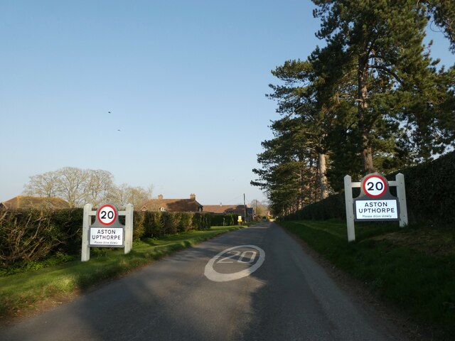
Aston Upthorpe

Aston Upthorpe is a village and civil parish about 3 miles (5 km) southeast of Didcot in South Oxfordshire. It was part of Berkshire until the 1974 boundary...

Aston Tirrold

Aston Tirrold is a village and civil parish at the foot of the Berkshire Downs about 3 miles (5 km) southeast of Didcot. It was part of Berkshire until...

Blewbury

Blewbury is a village and civil parish at the foot of the Berkshire Downs section of the North Wessex Downs about 4 miles (6.4 km) south of Didcot, 14...

South Moreton Castle

South Moreton Castle was an 11th-century castle in the village of South Moreton, Oxfordshire, (historically in Berkshire until the 1974 reorganisation...

South Moreton

South Moreton is a village and civil parish in South Oxfordshire, England, about 3 miles (5 km) east of Didcot, 4 miles (6.4 km) west of Wallingford, and...

Aston Upthorpe Downs

Aston Upthorpe Downs is a 38.5-hectare (95-acre) biological Site of Special Scientific Interest south of Aston Upthorpe in Oxfordshire. It is a Nature...

Fulscot

Fulscot is a hamlet in South Moreton civil parish in South Oxfordshire, about 0.5 miles (800 m) west of the village. In 1974 it was transferred from Berkshire...

Nearby Amenities

Located within 500m of 51.5715,-1.2121
Blewburton Hill
Ele: 106
Natural: peak
Lat/Long: 51.5713344/-1.2133456
Power: pole
Source: Bing
Lat/Long: 51.569271/-1.2060471
Power: pole
Source: Bing
Lat/Long: 51.5699096/-1.2107221
Power: pole
Source: Bing
Lat/Long: 51.5698196/-1.2129832
Power: pole
Source: Bing
Lat/Long: 51.5697378/-1.2153114
Power: pole
Source: Bing
Lat/Long: 51.5701853/-1.2178843
Power: pole
Source: Bing
Lat/Long: 51.5696896/-1.2167705
Power: pole
Source: Bing
Lat/Long: 51.5707322/-1.2191396
Power: pole
Source: Bing
Lat/Long: 51.5700029/-1.2084235
Barrier: kissing_gate
Lat/Long: 51.5753513/-1.210539
Barrier: kissing_gate
Lat/Long: 51.5754563/-1.2117791
Barrier: kissing_gate
Lat/Long: 51.5727268/-1.2130593
Barrier: kissing_gate
Lat/Long: 51.5698406/-1.2139406
The data included in this document is from www.openstreetmap.org. The data is made available under ODbL.

Have you been to Blewburton Hill Danish Camp?

Leave your review of Blewburton Hill Danish Camp below (or comments, questions and feedback).