Church Plantation

Wood, Forest in Nottinghamshire Gedling

England

Church Plantation

The outflow from Papplewick Dam Built to feed water to power a number of cotton mills along this section of the Leen valley.
The outflow from Papplewick Dam Credit: David Lally

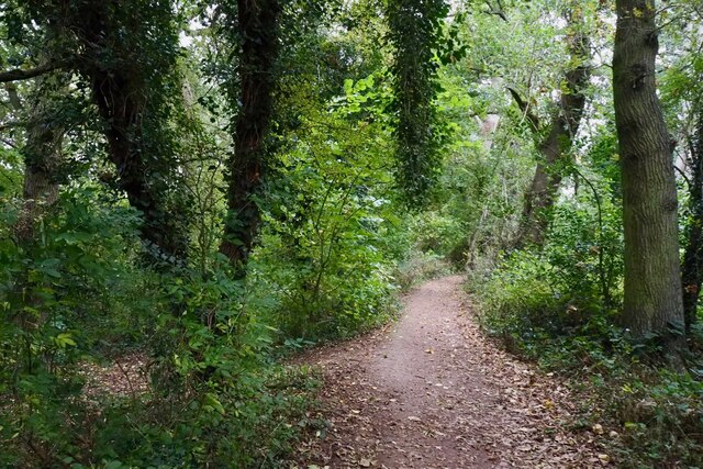
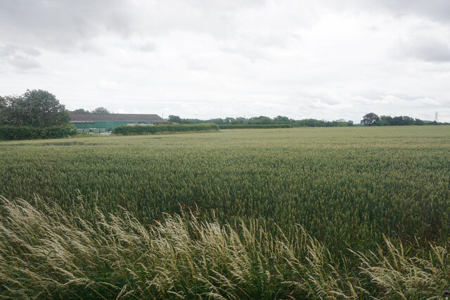
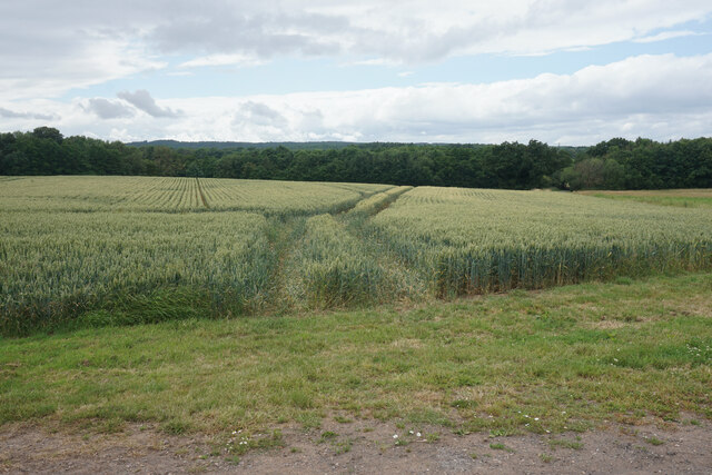
Church Plantation is a small village located in the county of Nottinghamshire, England. Situated within the Sherwood Forest district, it is known for its picturesque woodland setting and serene environment. The village is named after the nearby Church Plantation Wood, which covers a significant portion of the area.

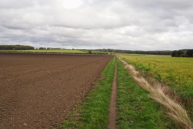
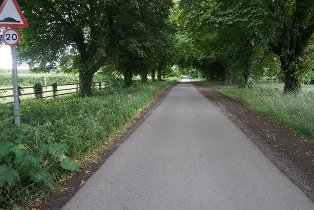
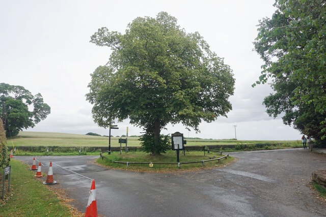
Covering an approximate area of 2 square miles, Church Plantation is home to a close-knit community of around 500 residents. The village is primarily residential, with a few local amenities such as a village hall and a small convenience store catering to the needs of its inhabitants. The village is well-connected to the surrounding areas through a network of country lanes and roads.

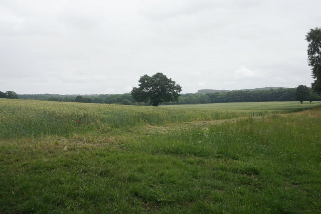
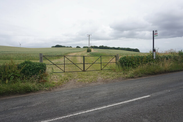
One of the main attractions of Church Plantation is its proximity to Sherwood Forest, a renowned ancient woodland that spans over 1,000 acres. This forest is steeped in history and legend, famously associated with the legendary outlaw Robin Hood. Visitors can explore the forest and discover its diverse flora and fauna, as well as historical landmarks such as the Major Oak, a large and ancient oak tree believed to be around 1,000 years old.

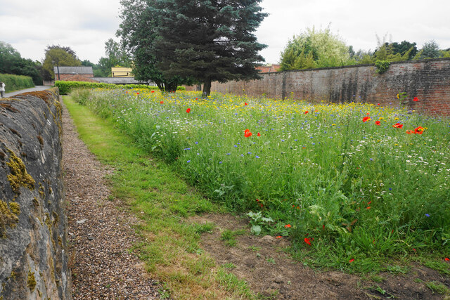
Church Plantation offers a peaceful and idyllic lifestyle, making it an attractive place for those seeking a quiet retreat away from the hustle and bustle of city life. The village's natural beauty, combined with its rich history and proximity to Sherwood Forest, make it a popular destination for nature enthusiasts and history buffs alike.

If you have any feedback on the listing, please let us know in the comments section below.

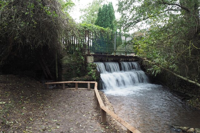
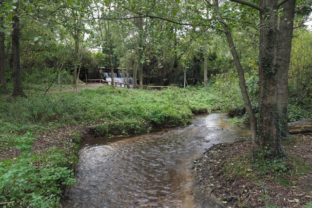
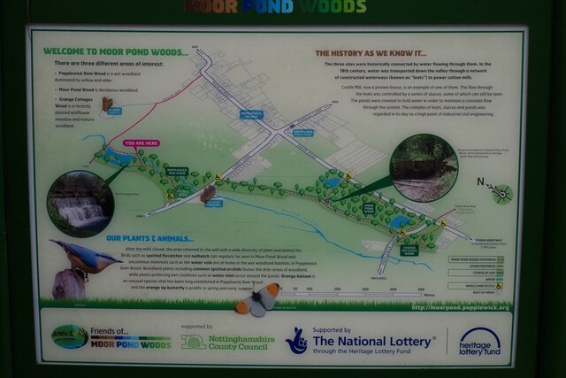
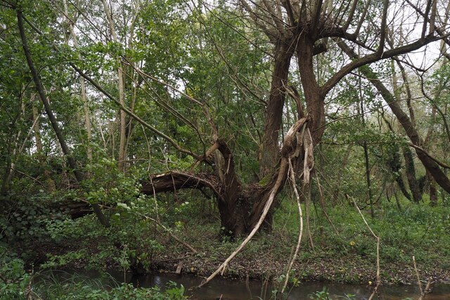
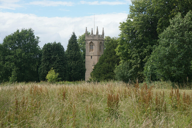
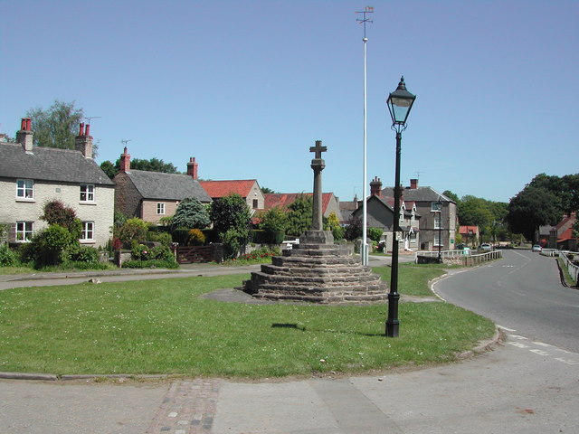
Church Plantation Images

Images are sourced within 2km of 53.056806/-1.1953325 or Grid Reference SK5451. Thanks to Geograph Open Source API. All images are credited.

The outflow from Papplewick Dam Built to feed water to power a number of cotton mills along this section of the Leen valley.
The outflow from Papplewick Dam
Built to feed water to power a number of cotton mills along this section of the Leen valley.
The River Leen With the outflow from Papplewick dam just upstream
The River Leen
With the outflow from Papplewick dam just upstream
Information board for Moor Pond Woods
A well-cracked crack willow On the banks of the River Leen in Papplewick Dam Wood.
A well-cracked crack willow
On the banks of the River Leen in Papplewick Dam Wood.
Wooded path near Castle Mill Part of the Papplewick Trail.
Wooded path near Castle Mill
Part of the Papplewick Trail.
Footpath on Papplewick Moor
Blocked culvert At the southern end of the Papplewick Trail, this excavated culvert entrance presumably would have carried the mill races under Moor Road?
Blocked culvert
At the southern end of the Papplewick Trail, this excavated culvert entrance presumably would have carried the mill races under Moor Road?
An interesting keystone In the arch of <a href="https://www.geograph.org.uk/photo/7005278">SK5450 : Blocked culvert</a>.  Possibly a Green Man representation?
An interesting keystone
In the arch of SK5450 : Blocked culvert. Possibly a Green Man representation?
Wheat field by Abbey Fields Farm Viewed from NCN route 6 as it passes through the private land of Newstead Abbey.
Wheat field by Abbey Fields Farm
Viewed from NCN route 6 as it passes through the private land of Newstead Abbey.
Station Avenue This is the road between Newstead Abbey and Newstead Station. It is all private land and there is a barrier preventing vehicles being able to get through without authorisation. However it is also part of National Cycle Network route 6, which comes this way on its journey from London to the Lake District.
Station Avenue
This is the road between Newstead Abbey and Newstead Station. It is all private land and there is a barrier preventing vehicles being able to get through without authorisation. However it is also part of National Cycle Network route 6, which comes this way on its journey from London to the Lake District.
Wheat field above Limekiln Wood Part of the Newstead Abbey estate. As the sky suggests, light rain was beginning to fall.
Wheat field above Limekiln Wood
Part of the Newstead Abbey estate. As the sky suggests, light rain was beginning to fall.
Gates and lodge at Newstead Park The end of a drive from the south which is not used for vehicles, but is a popular footpath.
Gates and lodge at Newstead Park
The end of a drive from the south which is not used for vehicles, but is a popular footpath.
Arable land by Newstead Grange I think this is a barley crop.
Arable land by Newstead Grange
I think this is a barley crop.
Wheat field near Papplewick Part of the farmland attached to Newstead Grange.
Wheat field near Papplewick
Part of the farmland attached to Newstead Grange.
Wild flower display in Papplewick My camera does not really pick up the vibrancy of such a display.
Wild flower display in Papplewick
My camera does not really pick up the vibrancy of such a display.
Small island in Papplewick At the southern end of the south drive from Newstead Abbey.
Small island in Papplewick
At the southern end of the south drive from Newstead Abbey.
Bus stop in Papplewick The farm track behind leads up to King Edward's Plantation.
Bus stop in Papplewick
The farm track behind leads up to King Edward's Plantation.
St James' Church, Papplewick As viewed from a footpath which passes to the south.
St James' Church, Papplewick
As viewed from a footpath which passes to the south.
Show me another place!

Church Plantation is located at Grid Ref: SK5451 (Lat: 53.056806, Lng: -1.1953325)

Administrative County: Nottinghamshire

District: Gedling

Police Authority: Nottinghamshire

What 3 Words

///butterfly.rigid.cracking. Near Hucknall, Nottinghamshire

Related Wikis

Hidden Valleys

Hidden Valleys is a name, coined in 2004, used to describe an area of interesting historical and scenic value between the city of Nottingham and the town...

Linby

Linby is a small village and civil parish in Nottinghamshire, England. The nearest town is Hucknall which is immediately to the south-west. The village...

Linby (Great Northern Railway) railway station

Linby (Great Northern Railway) was a railway station on the Great Northern Railway's Nottingham to Shirebrook line. == History == == Present day == No...

Papplewick Hall

Papplewick Hall is a Grade I listed English country house in Papplewick, Nottinghamshire. == History == It was completed around 1787 for the Hon. Frederick...

Papplewick

Papplewick is a village and civil parish in Nottinghamshire, England, 7.5 miles (12 km) north of Nottingham and 6 miles (10 km) south of Mansfield. It...

Linby railway station

Linby railway station was a station on what is now the Robin Hood Line. It was used predominantly to serve Linby Colliery. It shut in 1964. When the line...

Misk Hills

The Misk Hills consist of a gently undulating sandstone plateau between Hucknall and Annesley in the county of Nottinghamshire in the North East Midlands...

The National Academy

The National Church of England Academy, formerly known as The National School, is a Church of England secondary school in the Ashfield district of Nottinghamshire...

Nearby Amenities

Located within 500m of 53.056806,-1.1953325
Parking
Access: yes
Description: Layby
Ele: 76
Fee: no
Parking: layby
Lat/Long: 53.0541673/-1.1893988
Bus Stop
Linby Lane
Bus: yes
Local Ref: GE0652
Naptan AtcoCode: 3300GE0652
Naptan Bearing: E
Naptan CommonName: Linby Lane
Naptan Indicator: E-bound
Naptan NaptanCode: ntsdmptm
Naptan Notes: None
Naptan Street: Linby Lane
Naptan Verified: yes
Public Transport: platform
Shelter: no
Source: Bing
Lat/Long: 53.0553086/-1.1987838
Bus Stop
Linby Lane
Bus: yes
Local Ref: GE0653
Naptan AtcoCode: 3300GE0653
Naptan Bearing: SW
Naptan CommonName: Linby Lane
Naptan Indicator: SW-bound
Naptan NaptanCode: ntsdmptp
Naptan Notes: None
Naptan Street: Linby Lane
Naptan Verified: yes
Public Transport: platform
Shelter: no
Source: naptan_import
Lat/Long: 53.0551155/-1.199371
Bench
Lat/Long: 53.0557785/-1.1958777
Barrier: kissing_gate
Lat/Long: 53.0562809/-1.1884712
Bench
Lat/Long: 53.0554158/-1.1886867
Bottom Cross
HE Ref: 1264540
Historic: wayside_cross
Inscription: 1663
Listed Status: Grade II
Source: survey
Source Listed Status: Historic England
Lat/Long: 53.0548099/-1.2017114
Linby Community Notice Board
Advertising: board
Lat/Long: 53.0548989/-1.2015686
Bench
Lat/Long: 53.0548553/-1.2015621
Barrier: cycle_barrier
Cycle Barrier: double
Cycle Barrier Installation: fixed
Lat/Long: 53.0555485/-1.2010691
The data included in this document is from www.openstreetmap.org. The data is made available under ODbL.

Have you been to Church Plantation?

Leave your review of Church Plantation below (or comments, questions and feedback).