Woodeaton Wood

Wood, Forest in Oxfordshire South Oxfordshire

England

Woodeaton Wood

The Manor, home of John Buchan The Manor at Elsfield was the home of John Buchan from 1919 - 1935
The Manor, home of John Buchan Credit: Jon S

Woodeaton Wood is a charming forest located in Oxfordshire, England. Covering an area of approximately 30 hectares, this woodland is a haven for nature lovers and offers a peaceful retreat from the bustling city life.

The wood is predominantly made up of broadleaf trees, including oak, beech, and ash, which create a diverse and vibrant ecosystem. These trees provide a dense canopy, casting a cool shade in the summer months and a colorful display of leaves during autumn. The forest floor is covered in a thick carpet of ferns, wildflowers, and mosses, adding to the enchanting atmosphere.

Woodeaton Wood is known for its rich biodiversity, supporting a variety of wildlife. Visitors may encounter a wide range of bird species, such as woodpeckers, owls, and various songbirds. The wood is also home to mammals like foxes, badgers, and deer, which can occasionally be spotted roaming through the trees.

A network of well-maintained footpaths and trails crisscrosses the wood, allowing visitors to explore its beauty at their own pace. The tranquil ambiance and picturesque scenery make it an ideal spot for walking, jogging, or simply enjoying a picnic amidst nature.

Managed by the local authorities, Woodeaton Wood is open to the public throughout the year and offers a fantastic opportunity to connect with nature. Whether you are a nature enthusiast, a photographer, or simply seeking a peaceful escape, Woodeaton Wood is a destination worth exploring in Oxfordshire.

If you have any feedback on the listing, please let us know in the comments section below.

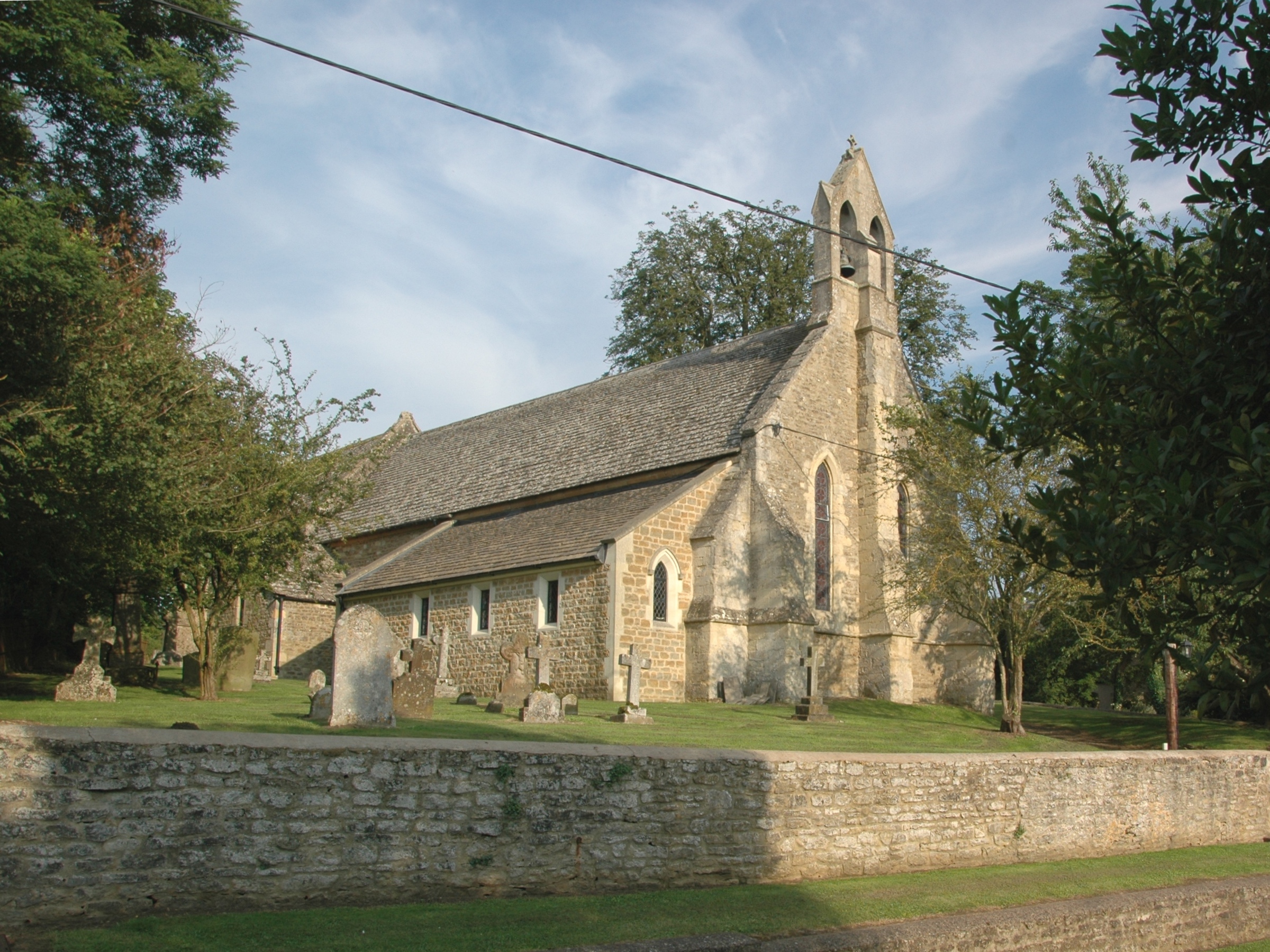
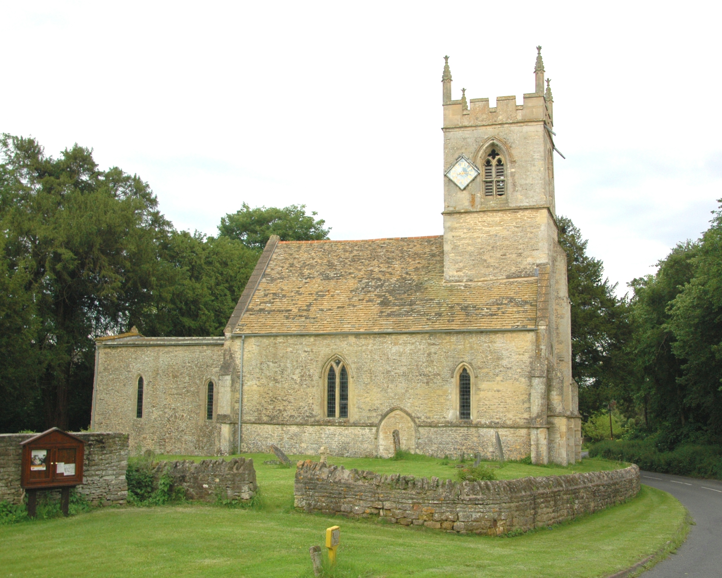
Woodeaton Wood Images

Images are sourced within 2km of 51.796936/-1.2178294 or Grid Reference SP5411. Thanks to Geograph Open Source API. All images are credited.

The Manor, home of John Buchan The Manor at Elsfield was the home of John Buchan from 1919 - 1935
The Manor, home of John Buchan
The Manor at Elsfield was the home of John Buchan from 1919 - 1935
Footpath to Noke
Footpath to Noke
Holy Rood, Woodeaton
East of Elsfield The road does a loop around this field, to North and East of Elsfield. It runs the other side of the hedge on the right and then across, below the brow of the hill, the tops of some of the trees in the hedge can just be seen.
East of Elsfield
The road does a loop around this field, to North and East of Elsfield. It runs the other side of the hedge on the right and then across, below the brow of the hill, the tops of some of the trees in the hedge can just be seen.
Discreet silo Nicely positioned between two trees on the brow of the hill.
Discreet silo
Nicely positioned between two trees on the brow of the hill.
Lower Farm At the Eastern edge of Noke. A bridleway carries on to the left.
Lower Farm
At the Eastern edge of Noke. A bridleway carries on to the left.
Prattle Wood Looking down the field between Prattle Wood (on the left) and the B4027.
Prattle Wood
Looking down the field between Prattle Wood (on the left) and the B4027.
Drun's Hill With Woodeaton Wood coming in from the left.
Drun's Hill
With Woodeaton Wood coming in from the left.
The Manor House, Elsfield
Blue plaque for John Buchan On the wall of the Manor House, Elsfield <a href="https://www.geograph.org.uk/photo/334513">SP5310 : The Manor House, Elsfield</a>
Blue plaque for John Buchan
On the wall of the Manor House, Elsfield SP5310 : The Manor House, Elsfield
House by road junction At the point where the Elsfield to Beckley road crosses the B4027.
House by road junction
At the point where the Elsfield to Beckley road crosses the B4027.
Prattle Lane
Prattle Lane
St. Giles Church, Noke The C13th parish church. To the left is the approach to Manor Farm.
In the foreground (to the left) is a candidate for "smallest village green"!
St. Giles Church, Noke
The C13th parish church. To the left is the approach to Manor Farm. In the foreground (to the left) is a candidate for "smallest village green"!
The drive to Upper Wood's Farm From the B4027.
The drive to Upper Wood's Farm
From the B4027.
Pasture and Noke Wood View from Folly Farm, Beckley, looking towards Otmoor. It seems to be newly sown grass.
Pasture and Noke Wood
View from Folly Farm, Beckley, looking towards Otmoor. It seems to be newly sown grass.
Tree reflected in wet wheatfield After heavy rain there was standing water in the field. Photo from road just by Bayswater Brook.
Tree reflected in wet wheatfield
After heavy rain there was standing water in the field. Photo from road just by Bayswater Brook.
Woodeaton Manor School This has been run by Oxfordshire County Council as a special needs school.
Woodeaton Manor School
This has been run by Oxfordshire County Council as a special needs school.
Tree-lined track This farm track between fields is the public footpath from Woodeaton to Cutteslowe
Tree-lined track
This farm track between fields is the public footpath from Woodeaton to Cutteslowe
Show me another place!

Woodeaton Wood is located at Grid Ref: SP5411 (Lat: 51.796936, Lng: -1.2178294)

Administrative County: Oxfordshire

District: South Oxfordshire

Police Authority: Thames Valley

What 3 Words

///gifted.same.rucksack. Near Wolvercote, Oxfordshire

Related Wikis

Woodeaton Wood

Woodeaton Wood is a 14-hectare (35-acre) biological Site of Special Scientific Interest north of Oxford in Oxfordshire.This coppice with standards on calcareous...

Oxford Montessori Schools

Oxford Montessori Schools is a group of progressive, co-educational private schools based in and around Oxford, England. Founded in 1990, the Oxford Montessori...

Elsfield

Elsfield is an English village and civil parish about 3 miles (5 km) northeast of the centre of Oxford. The village is 310 feet (94 m) above sea level...

Woodeaton

Woodeaton or Wood Eaton is a village and civil parish about 4 miles (6.4 km) northeast of Oxford, England. It also has a special needs school called Woodeaton...

Woodeaton Quarry

Woodeaton Quarry is a 7.3-hectare (18-acre) geological Site of Special Scientific Interest north of Oxford in Oxfordshire. It is a Geological Conservation...

Noke, Oxfordshire

Noke is a small village and civil parish in Oxfordshire about 5 miles (8 km) northeast of Oxford. It is on the southeast edge of Otmoor and is one of the...

Beckley, Oxfordshire

Beckley is a village in the civil parish of Beckley and Stowood, in the South Oxfordshire district, in the county of Oxfordshire, England. It is about...

Marston, Oxford

Marston is a village in the civil parish of Old Marston about 2 miles (3 km) northeast of the centre of Oxford, England. It was absorbed within the city...

Nearby Amenities

Located within 500m of 51.796936,-1.2178294
Barrier: stile
Lat/Long: 51.7938224/-1.2157037
Barrier: stile
Lat/Long: 51.7976762/-1.2118328
Power: pole
Lat/Long: 51.8007141/-1.215761
Power: pole
Lat/Long: 51.7977775/-1.2118113
Power: pole
Lat/Long: 51.7988046/-1.2131441
Power: pole
Lat/Long: 51.7997351/-1.2144315
Power: pole
Lat/Long: 51.7971082/-1.2107688
Power: pole
Lat/Long: 51.797387/-1.2223996
Power: pole
Lat/Long: 51.7967101/-1.2218471
Power: pole
Lat/Long: 51.7929975/-1.2198998
Power: pole
Lat/Long: 51.7953035/-1.2194948
Power: pole
Lat/Long: 51.794202/-1.2188403
Power: pole
Lat/Long: 51.7935882/-1.2193768
Power: pole
Lat/Long: 51.798077/-1.2229763
Power: pole
Lat/Long: 51.7987703/-1.2235446
Drun's Hill
Ele: 87
Natural: peak
Lat/Long: 51.7985133/-1.2140658
The data included in this document is from www.openstreetmap.org. The data is made available under ODbL.

Have you been to Woodeaton Wood?

Leave your review of Woodeaton Wood below (or comments, questions and feedback).