Drun's Hill
Hill, Mountain in Oxfordshire South Oxfordshire
England
Drun's Hill

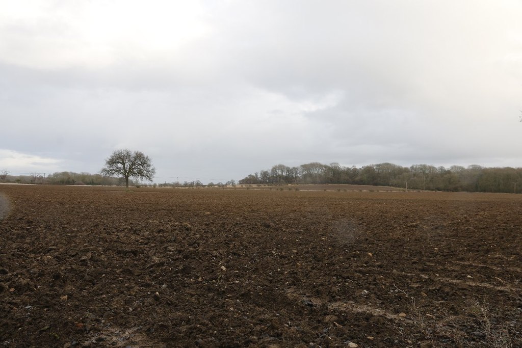
Drun's Hill is a prominent geographical feature located in Oxfordshire, England. It is classified as a hill rather than a mountain, standing at an elevation of approximately 210 meters (689 feet) above sea level. Situated in the Chiltern Hills, Drun's Hill offers picturesque views of the surrounding area.
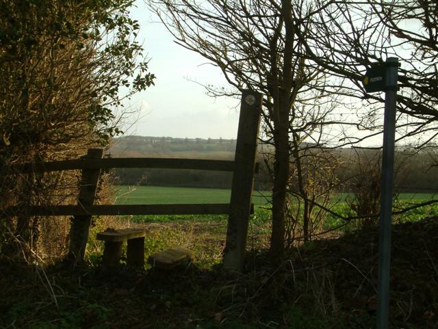
Covered in lush green vegetation, the hill is a popular destination for hikers, nature enthusiasts, and locals seeking respite from the bustling city life. It is easily accessible via well-maintained footpaths, ensuring a pleasant and enjoyable experience for visitors of all ages. The hill's gentle slopes make it suitable for leisurely walks or more challenging hikes, depending on one's preference.
Drun's Hill is known for its diverse flora and fauna, with various species of trees, plants, and wildlife thriving in its ecosystem. The hill's rich biodiversity attracts birdwatchers, who often spot a variety of avian species, including buzzards, kestrels, and woodpeckers.
The hill's historical significance adds to its allure. It is believed to have been inhabited since ancient times, with evidence of human activity dating back to the Iron Age. Archaeological remains, such as burial mounds and pottery fragments, have been discovered in the vicinity, providing valuable insights into the area's past.
Drun's Hill is not only a natural treasure but also an important cultural and recreational landmark in Oxfordshire. Its beauty, accessibility, and historical significance make it a must-visit destination for those seeking tranquility, natural wonders, and a connection to the region's rich heritage.
If you have any feedback on the listing, please let us know in the comments section below.
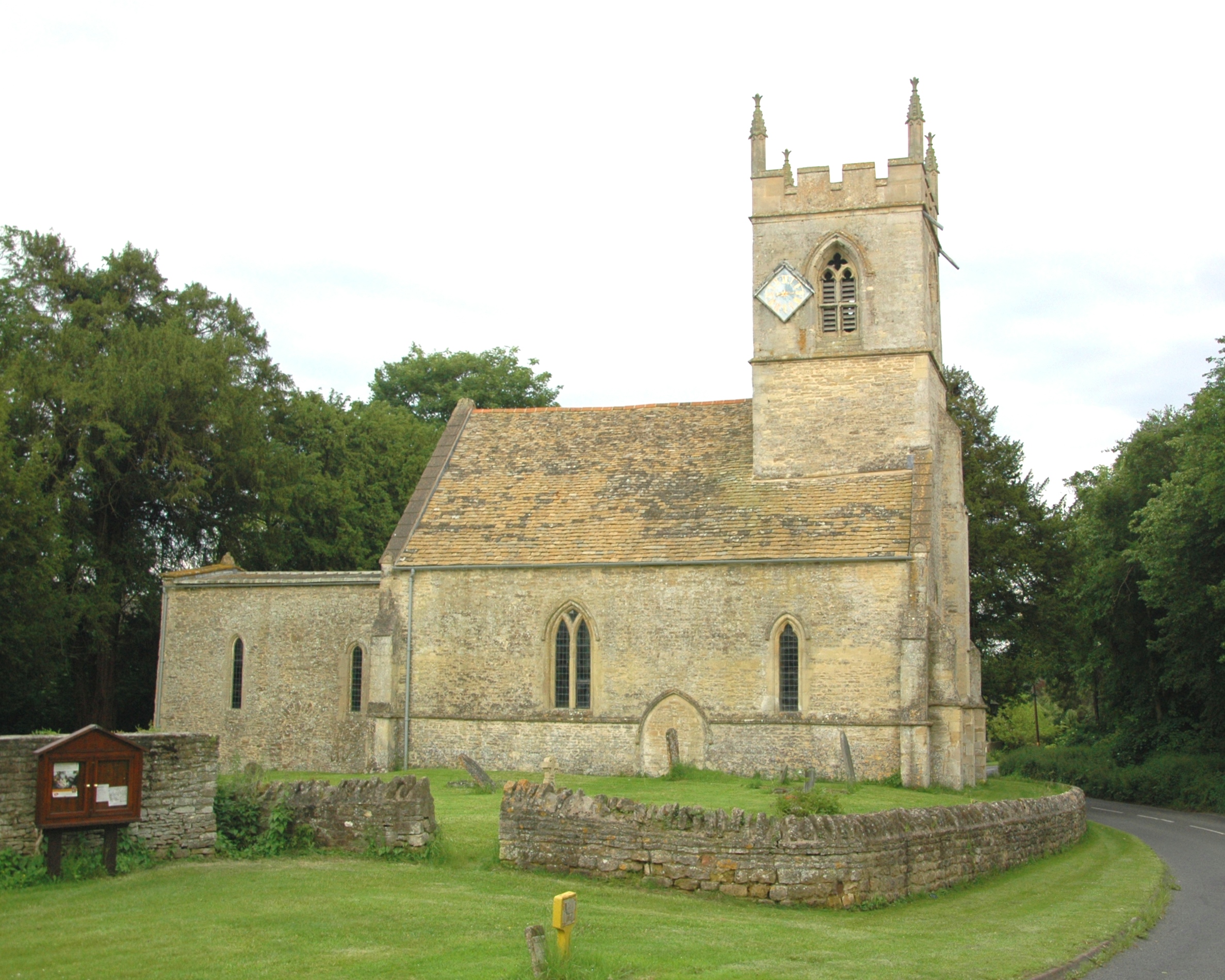
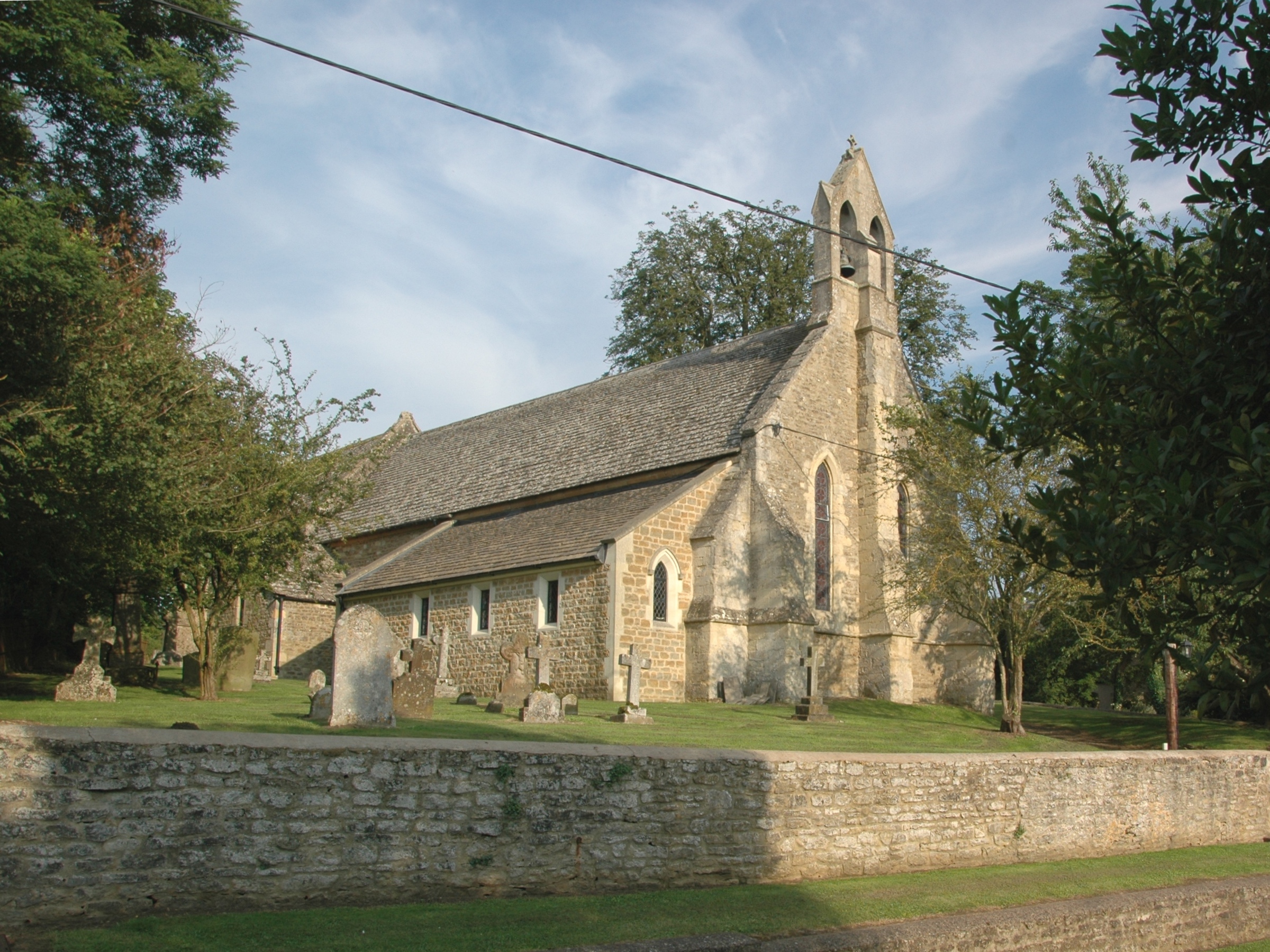
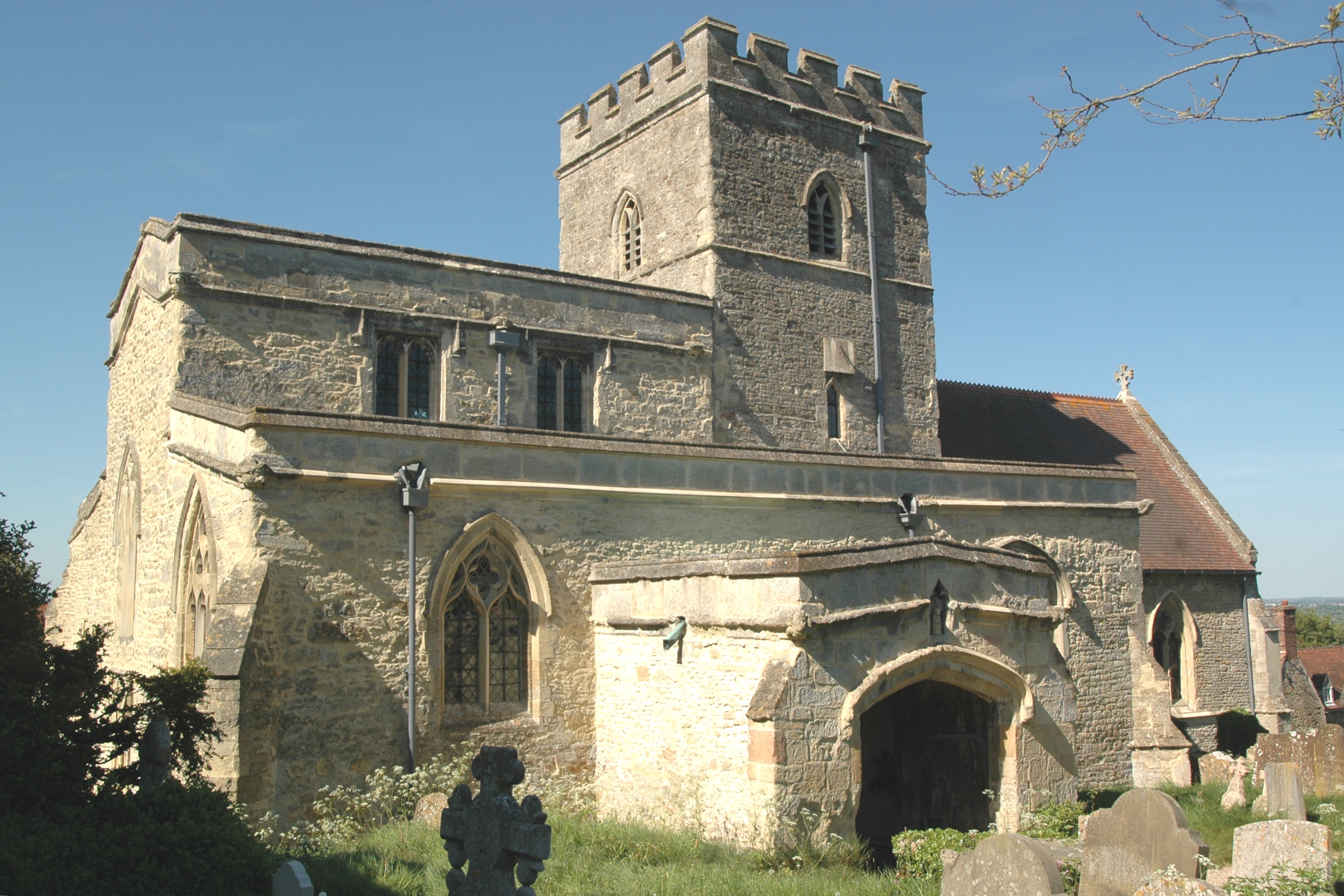
Drun's Hill Images
Images are sourced within 2km of 51.798567/-1.2142629 or Grid Reference SP5411. Thanks to Geograph Open Source API. All images are credited.


Drun's Hill is located at Grid Ref: SP5411 (Lat: 51.798567, Lng: -1.2142629)
Administrative County: Oxfordshire
District: South Oxfordshire
Police Authority: Thames Valley
What 3 Words
///mailboxes.qualifier.jumbled. Near Wolvercote, Oxfordshire
Nearby Locations
Related Wikis
Woodeaton Wood
Woodeaton Wood is a 14-hectare (35-acre) biological Site of Special Scientific Interest north of Oxford in Oxfordshire.This coppice with standards on calcareous...

Oxford Montessori Schools
Oxford Montessori Schools is a group of progressive, co-educational private schools based in and around Oxford, England. Founded in 1990, the Oxford Montessori...
Woodeaton
Woodeaton or Wood Eaton is a village and civil parish about 4 miles (6.4 km) northeast of Oxford, England. It also has a special needs school called Woodeaton...
Elsfield
Elsfield is an English village and civil parish about 3 miles (5 km) northeast of the centre of Oxford. The village is 310 feet (94 m) above sea level...

Woodeaton Quarry
Woodeaton Quarry is a 7.3-hectare (18-acre) geological Site of Special Scientific Interest north of Oxford in Oxfordshire. It is a Geological Conservation...

Noke, Oxfordshire
Noke is a small village and civil parish in Oxfordshire about 5 miles (8 km) northeast of Oxford. It is on the southeast edge of Otmoor and is one of the...
Beckley, Oxfordshire
Beckley is a village in the civil parish of Beckley and Stowood, in the South Oxfordshire district, in the county of Oxfordshire, England. It is about...
Oxford transmitting station
The Oxford transmitting station (sometimes known as the Beckley transmitter) is a broadcasting and telecommunications facility, situated on land 129.5...
Nearby Amenities
Located within 500m of 51.798567,-1.2142629Have you been to Drun's Hill?
Leave your review of Drun's Hill below (or comments, questions and feedback).