Strawberry Hill Plantation

Wood, Forest in Nottinghamshire Gedling

England

Strawberry Hill Plantation

Newstead Abbey Back door to the Abbey, downpipe showing two different symbols .
Newstead Abbey Credit: GARY ROE

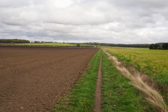
Strawberry Hill Plantation is a charming estate located in Nottinghamshire, England. Situated amidst a lush and verdant forest, this magnificent property offers a serene and picturesque setting for visitors to explore. The plantation spans over acres of land and is known for its breathtaking woodlands and natural beauty.

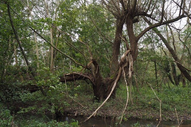
The main feature of Strawberry Hill Plantation is its impressive array of strawberry trees, which provide the estate with its name. These unique trees, with their vibrant red bark and delicate white flowers, create a stunning backdrop against the forest's greenery. The plantation is home to a variety of other tree species as well, including oak, beech, and ash, further enhancing its enchanting atmosphere.

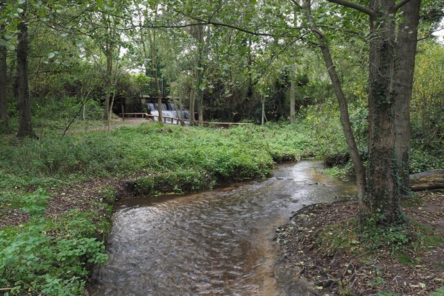
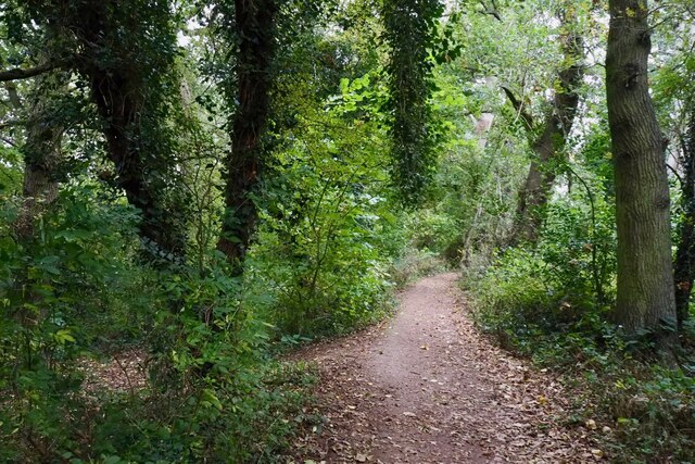
Visitors can wander along the plantation's well-maintained trails, immersing themselves in the peaceful ambiance of the surrounding forest. The estate also boasts several picnic areas, allowing guests to enjoy a leisurely lunch amidst the idyllic surroundings.

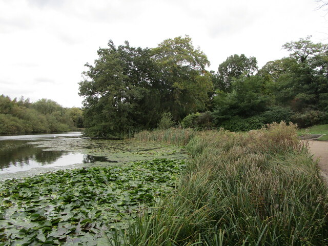
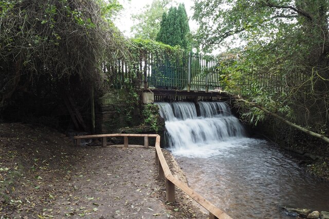
In addition to its natural beauty, Strawberry Hill Plantation also offers a range of recreational activities. The estate features a small lake, where visitors can enjoy fishing or simply take in the tranquil atmosphere. For those interested in wildlife, the plantation is home to a diverse array of creatures, including numerous bird species and small mammals.

Overall, Strawberry Hill Plantation is a haven of tranquility and natural splendor. Its stunning woodlands, abundant wildlife, and peaceful ambiance make it an ideal destination for nature lovers and those seeking a respite from the hustle and bustle of everyday life.

If you have any feedback on the listing, please let us know in the comments section below.

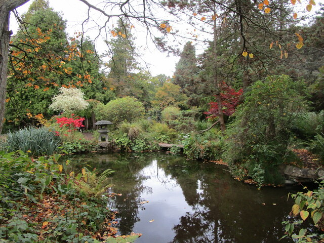
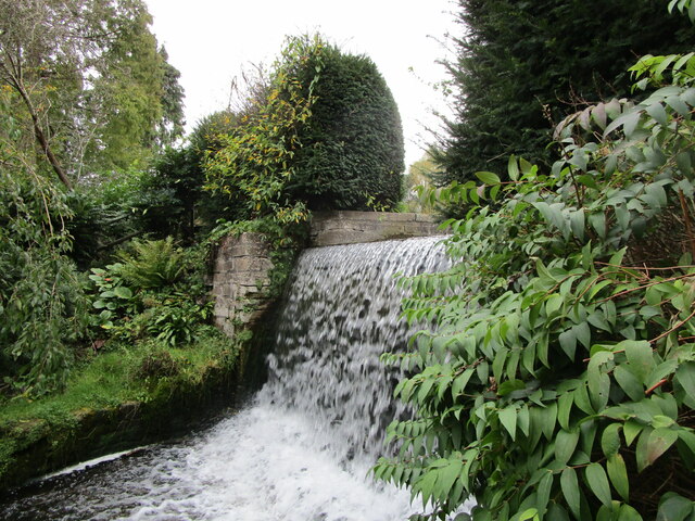
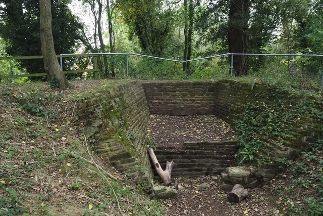
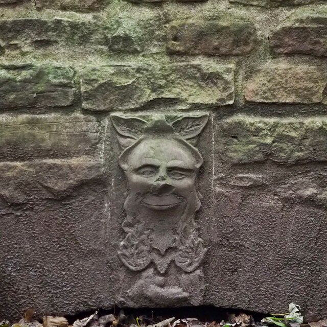
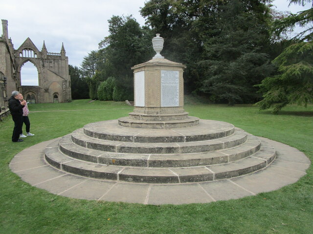
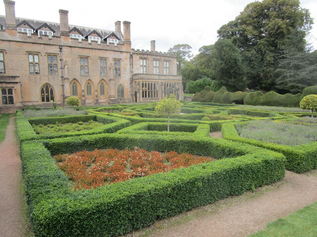
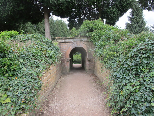
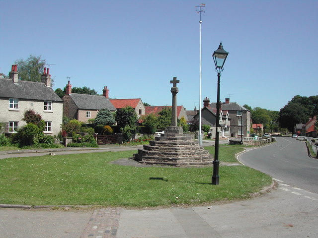
Strawberry Hill Plantation Images

Images are sourced within 2km of 53.061515/-1.1885447 or Grid Reference SK5451. Thanks to Geograph Open Source API. All images are credited.

Newstead Abbey Back door to the Abbey, downpipe showing two different symbols .
Newstead Abbey
Back door to the Abbey, downpipe showing two different symbols .
The Japanese Garden, Newstead Abbey Created for Ethel Webb in the early years of the twentieth century.
The Japanese Garden, Newstead Abbey
Created for Ethel Webb in the early years of the twentieth century.
Weir below the Garden Lake, Newstead Abbey
The Stew Pond, Newstead Abbey
The Garden Lake, Newstead Abbey
The Eagle Pool and the east facade of Newstead Abbey The inside of the west front of the medieval abbey visible in the right <span class="nowrap"><a title="https://historicengland.org.uk/listing/the-list/list-entry/1265325" rel="nofollow ugc noopener" href="https://historicengland.org.uk/listing/the-list/list-entry/1265325">Link</a><img style="margin-left:2px;" alt="External link" title="External link - shift click to open in new window" src="https://s1.geograph.org.uk/img/external.png" width="10" height="10"/></span>
The Eagle Pool and the east facade of Newstead Abbey
The inside of the west front of the medieval abbey visible in the right LinkExternal link
Satyr, Newstead Abbey Early eighteenth century <span class="nowrap"><a title="https://historicengland.org.uk/listing/the-list/list-entry/1227526" rel="nofollow ugc noopener" href="https://historicengland.org.uk/listing/the-list/list-entry/1227526">Link</a><img style="margin-left:2px;" alt="External link" title="External link - shift click to open in new window" src="https://s1.geograph.org.uk/img/external.png" width="10" height="10"/></span> Probably the work of Jan van Nost the Elder <span class="nowrap"><a title="https://en.wikipedia.org/wiki/John_Nost" rel="nofollow ugc noopener" href="https://en.wikipedia.org/wiki/John_Nost">Link</a><img style="margin-left:2px;" alt="External link" title="External link - shift click to open in new window" src="https://s1.geograph.org.uk/img/external.png" width="10" height="10"/></span>
Satyr, Newstead Abbey
Early eighteenth century LinkExternal link Probably the work of Jan van Nost the Elder LinkExternal link
The outflow from Papplewick Dam Built to feed water to power a number of cotton mills along this section of the Leen valley.
The outflow from Papplewick Dam
Built to feed water to power a number of cotton mills along this section of the Leen valley.
The River Leen With the outflow from Papplewick dam just upstream
The River Leen
With the outflow from Papplewick dam just upstream
Information board for Moor Pond Woods
A well-cracked crack willow On the banks of the River Leen in Papplewick Dam Wood.
A well-cracked crack willow
On the banks of the River Leen in Papplewick Dam Wood.
Wooded path near Castle Mill Part of the Papplewick Trail.
Wooded path near Castle Mill
Part of the Papplewick Trail.
Footpath on Papplewick Moor
Blocked culvert At the southern end of the Papplewick Trail, this excavated culvert entrance presumably would have carried the mill races under Moor Road?
Blocked culvert
At the southern end of the Papplewick Trail, this excavated culvert entrance presumably would have carried the mill races under Moor Road?
An interesting keystone In the arch of <a href="https://www.geograph.org.uk/photo/7005278">SK5450 : Blocked culvert</a>.  Possibly a Green Man representation?
An interesting keystone
In the arch of SK5450 : Blocked culvert. Possibly a Green Man representation?
Monument to Boatswain Boatswain was Lord Byron's dog,
Monument to Boatswain
Boatswain was Lord Byron's dog,
The Spanish Garden, Newstead Abbey Originally created in the early eighteenth century.
The Gothic windows in the building beyond light the chapel which has been created from the chapter house of the original abbey (actually a priory).
The Spanish Garden, Newstead Abbey
Originally created in the early eighteenth century. The Gothic windows in the building beyond light the chapel which has been created from the chapter house of the original abbey (actually a priory).
Archway through the garden wall, Newstead Abbey
Show me another place!

Strawberry Hill Plantation is located at Grid Ref: SK5451 (Lat: 53.061515, Lng: -1.1885447)

Administrative County: Nottinghamshire

District: Gedling

Police Authority: Nottinghamshire

What 3 Words

///apes.melt.crackling. Near Hucknall, Nottinghamshire

Related Wikis

Papplewick Hall

Papplewick Hall is a Grade I listed English country house in Papplewick, Nottinghamshire. == History == It was completed around 1787 for the Hon. Frederick...

Hidden Valleys

Hidden Valleys is a name, coined in 2004, used to describe an area of interesting historical and scenic value between the city of Nottingham and the town...

Papplewick

Papplewick is a village and civil parish in Nottinghamshire, England, 7.5 miles (12 km) north of Nottingham and 6 miles (10 km) south of Mansfield. It...

Linby

Linby is a small village and civil parish in Nottinghamshire, England. The nearest town is Hucknall which is immediately to the south-west. The village...

Misk Hills

The Misk Hills consist of a gently undulating sandstone plateau between Hucknall and Annesley in the county of Nottinghamshire in the North East Midlands...

Linby (Great Northern Railway) railway station

Linby (Great Northern Railway) was a railway station on the Great Northern Railway's Nottingham to Shirebrook line. == History == == Present day == No...

Linby railway station

Linby railway station was a station on what is now the Robin Hood Line. It was used predominantly to serve Linby Colliery. It shut in 1964. When the line...
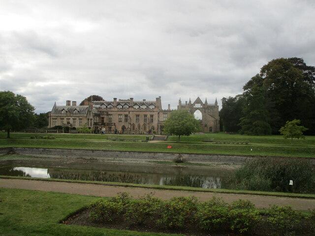
Newstead Abbey

Newstead Abbey, in Nottinghamshire, England, was formerly an Augustinian priory. Converted to a domestic home following the Dissolution of the Monasteries...

Nearby Amenities

Located within 500m of 53.061515,-1.1885447
Bus Stop
Hall Lane
Local Ref: GE0001
Naptan AtcoCode: 3300GE0001
Naptan Bearing: NE
Naptan CommonName: Hall Lane
Naptan Crossing: Hall Lane
Naptan Indicator: adj
Naptan Landmark: Top Farm
Naptan NaptanCode: ntsdagma
Naptan Notes: none
Naptan Street: Blidworth Waye
Naptan Verified: yes
Public Transport: platform
Shelter: no
Source: naptan_import
Lat/Long: 53.0615121/-1.1816875
Bus Stop
Hall Lane
Naptan AtcoCode: 3300GE0004
Naptan Bearing: S
Naptan CommonName: Hall Lane
Naptan Crossing: Hall Lane
Naptan Indicator: opp
Naptan Landmark: Top Farm
Naptan NaptanCode: ntsdagmj
Naptan Notes: none
Naptan Street: Blidworth Waye
Naptan Verified: yes
Note: Naptan street name is wrong
Public Transport: platform
Source: naptan_import
Lat/Long: 53.0607031/-1.1817136
Post Box
Collection Times: Mo-Fr 09:00; Sa 07:00
Ele: 91.4503174
Post Box Type: lamp
Ref: NG15 25D
Royal Cypher: EIIR
Royal Cypher Wikidata: Q33102113
Lat/Long: 53.0614751/-1.1823195
Bench
Ele: 92.8924561
Lat/Long: 53.0613249/-1.1819574
Ele: 93.61
Lat/Long: 53.0613783/-1.182052
Notice Board
Operator: Papplewick Parish Council
Lat/Long: 53.061365/-1.1819988
HE Ref: 1265299
Listed Status: Grade II
Man Made: gate_pier
Source Listed Status: Historic England
Lat/Long: 53.0579711/-1.1867227
HE Ref: 1265299
Listed Status: Grade II
Man Made: gate_pier
Source Listed Status: Historic England
Lat/Long: 53.0579933/-1.1866771
Entrance: main
Lat/Long: 53.0582259/-1.1872536
Information: route_marker
Tourism: information
Lat/Long: 53.0615115/-1.1824292
Information: route_marker
Tourism: information
Lat/Long: 53.0630268/-1.1846676
The data included in this document is from www.openstreetmap.org. The data is made available under ODbL.

Have you been to Strawberry Hill Plantation?

Leave your review of Strawberry Hill Plantation below (or comments, questions and feedback).