Bottom's Copse
Wood, Forest in Hampshire
England
Bottom's Copse

Bottom's Copse is a picturesque woodland located in the county of Hampshire, England. Situated on the outskirts of the village of Bottom's Cross, this woodland covers an area of approximately 50 acres. It is a popular destination for nature enthusiasts, hikers, and those seeking solace in the tranquility of the forest.
The copse is characterized by its dense canopy of towering trees, predominantly composed of oak, beech, and birch. These majestic trees provide shelter to a plethora of wildlife and create a serene ambiance, inviting visitors to explore and immerse themselves in the natural beauty that surrounds them.
Throughout the copse, a network of well-maintained footpaths meander through the undergrowth, offering visitors the opportunity to embark on leisurely strolls or more challenging hikes. These paths lead to various points of interest, including a charming stream that winds its way through the heart of the woodland, adding to the enchantment of the landscape.
Bottom's Copse is not only a haven for flora and fauna but also a sanctuary for birdwatchers. The woodland is home to an array of bird species, including woodpeckers, thrushes, and owls, making it a prime location for birdwatching enthusiasts.
Managed by the local council, Bottom's Copse is carefully preserved to maintain its natural beauty and protect its diverse ecosystem. As a result, visitors are encouraged to respect the area by adhering to designated paths and taking care not to disrupt the delicate balance of the woodland.
Whether it's a leisurely walk, a birdwatching adventure, or simply a desire to connect with nature, Bottom's Copse offers an idyllic setting for anyone seeking solace in the embrace of a tranquil forest.
If you have any feedback on the listing, please let us know in the comments section below.
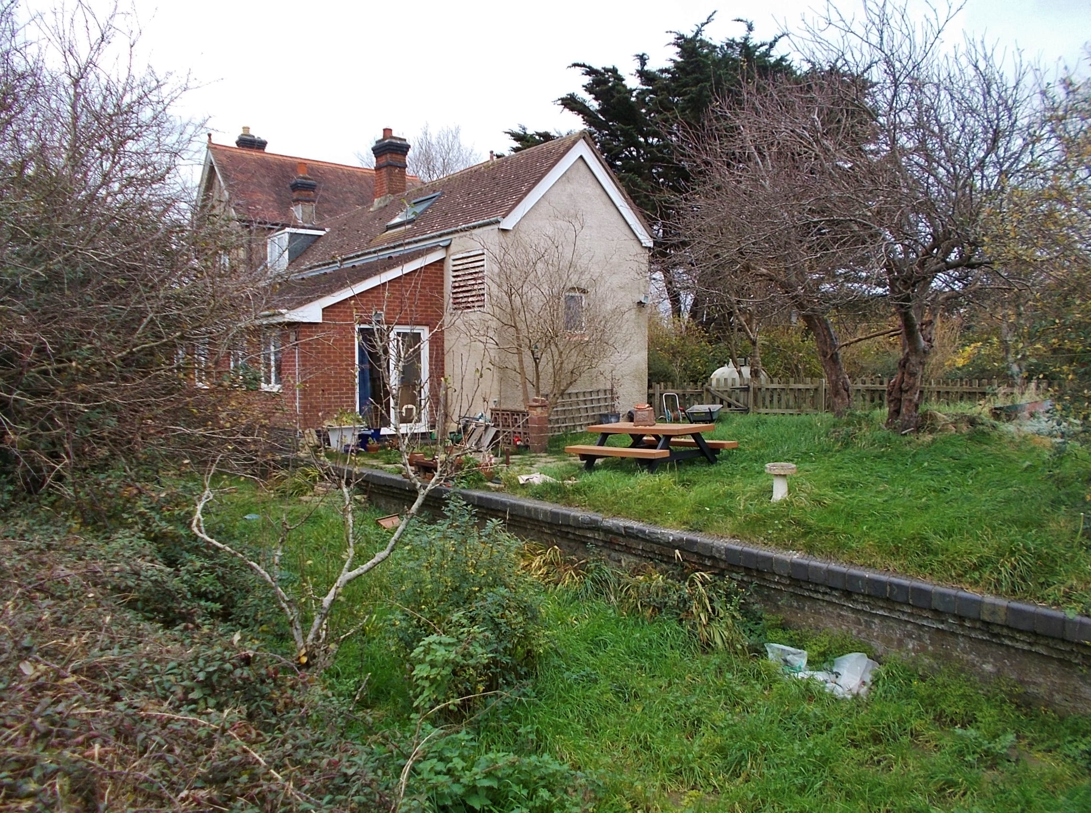
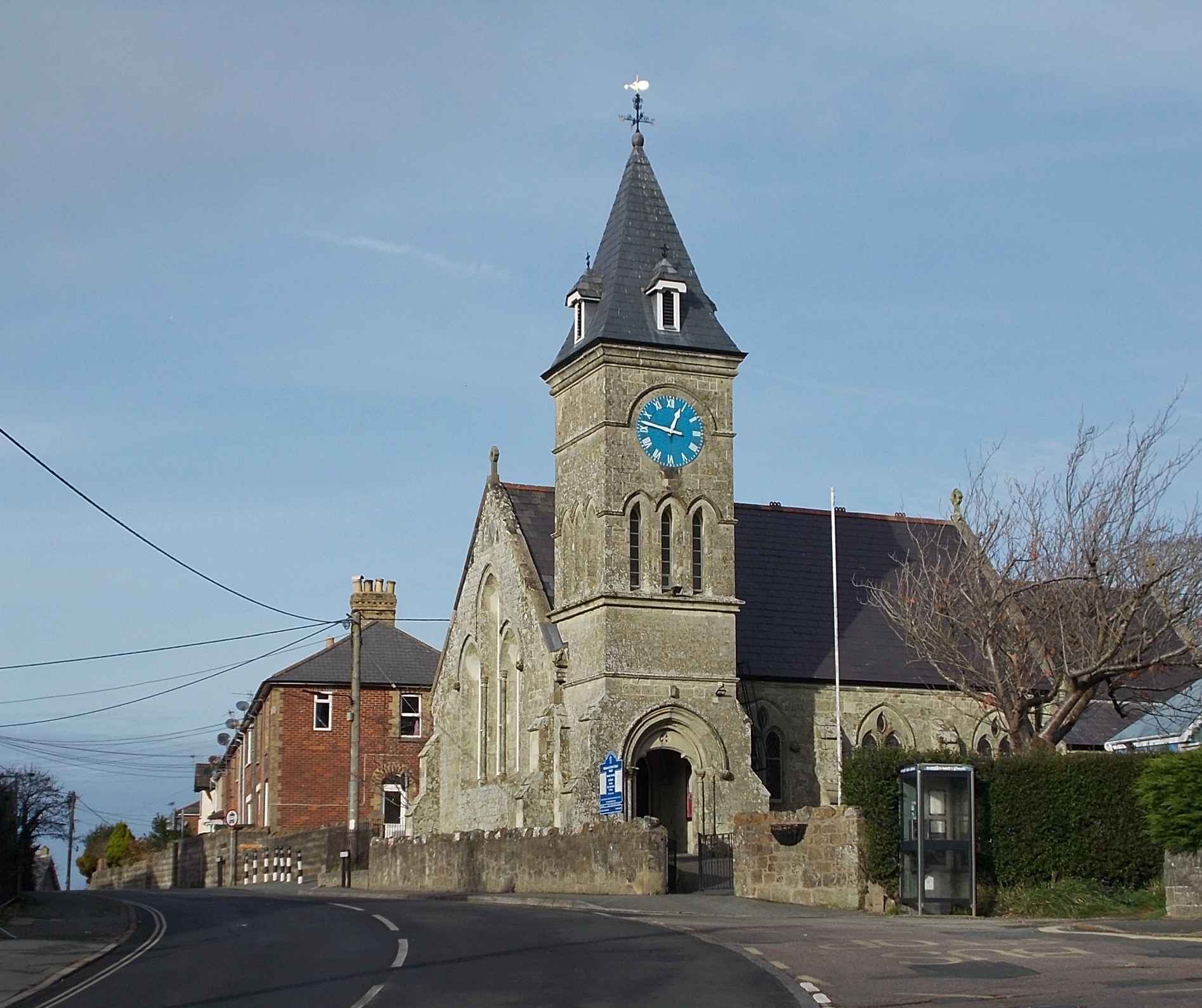
Bottom's Copse Images
Images are sourced within 2km of 50.631359/-1.2374537 or Grid Reference SZ5481. Thanks to Geograph Open Source API. All images are credited.


Bottom's Copse is located at Grid Ref: SZ5481 (Lat: 50.631359, Lng: -1.2374537)
Unitary Authority: Isle of Wight
Police Authority: Hampshire
What 3 Words
///ownership.scavenger.trader. Near Godshill, Isle of Wight
Nearby Locations
Related Wikis
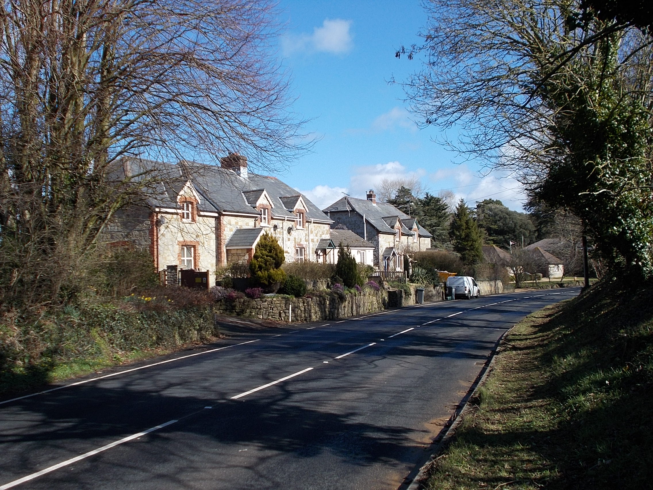
Sandford, Isle of Wight
Sandford is a hamlet on the Isle of Wight. Sandford is on the outskirts of Godshill (where the 2011 population was listed) in the southeast part of the...
Whiteley Bank
Whiteley Bank, also spelled "Whitely Bank", is a small village or hamlet on the Isle of Wight, United Kingdom. It is located two miles west of Shanklin...
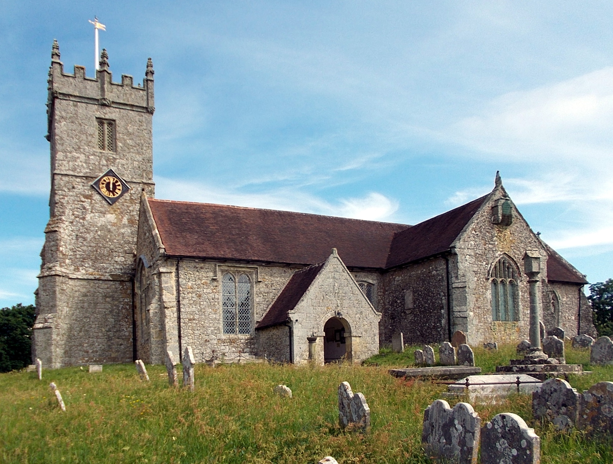
All Saints' Church, Godshill
All Saints' Church, Godshill is a parish church in the Church of England located in Godshill, Isle of Wight. == History == According to legend, the original...

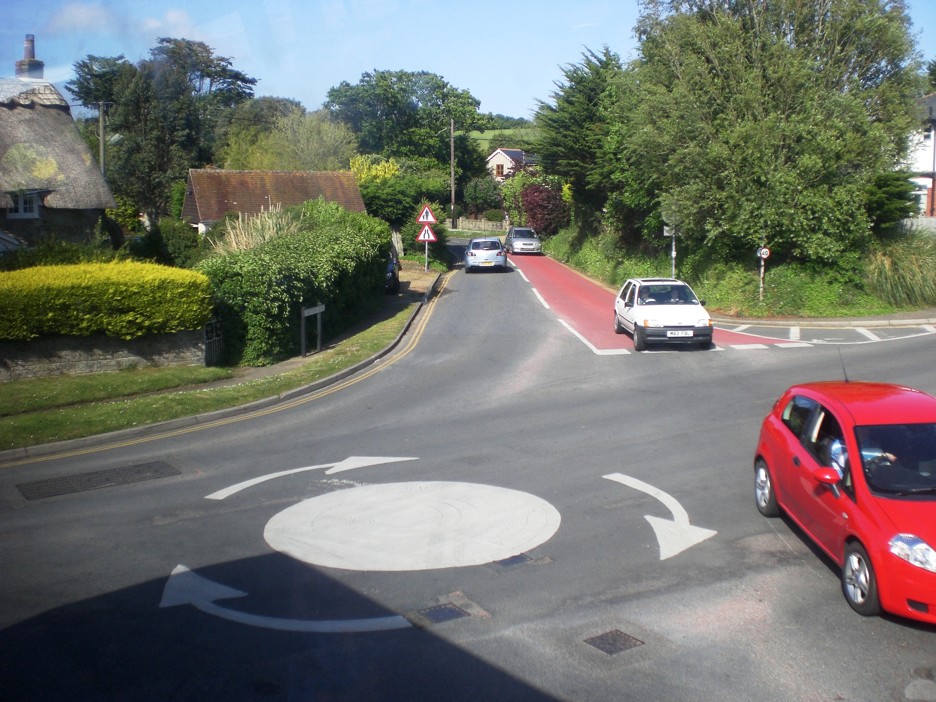
Godshill
Godshill is a village and civil parish on the Isle of Wight, England, with a population of 1,459 at the 2011 Census. It lies between Newport and Ventnor...
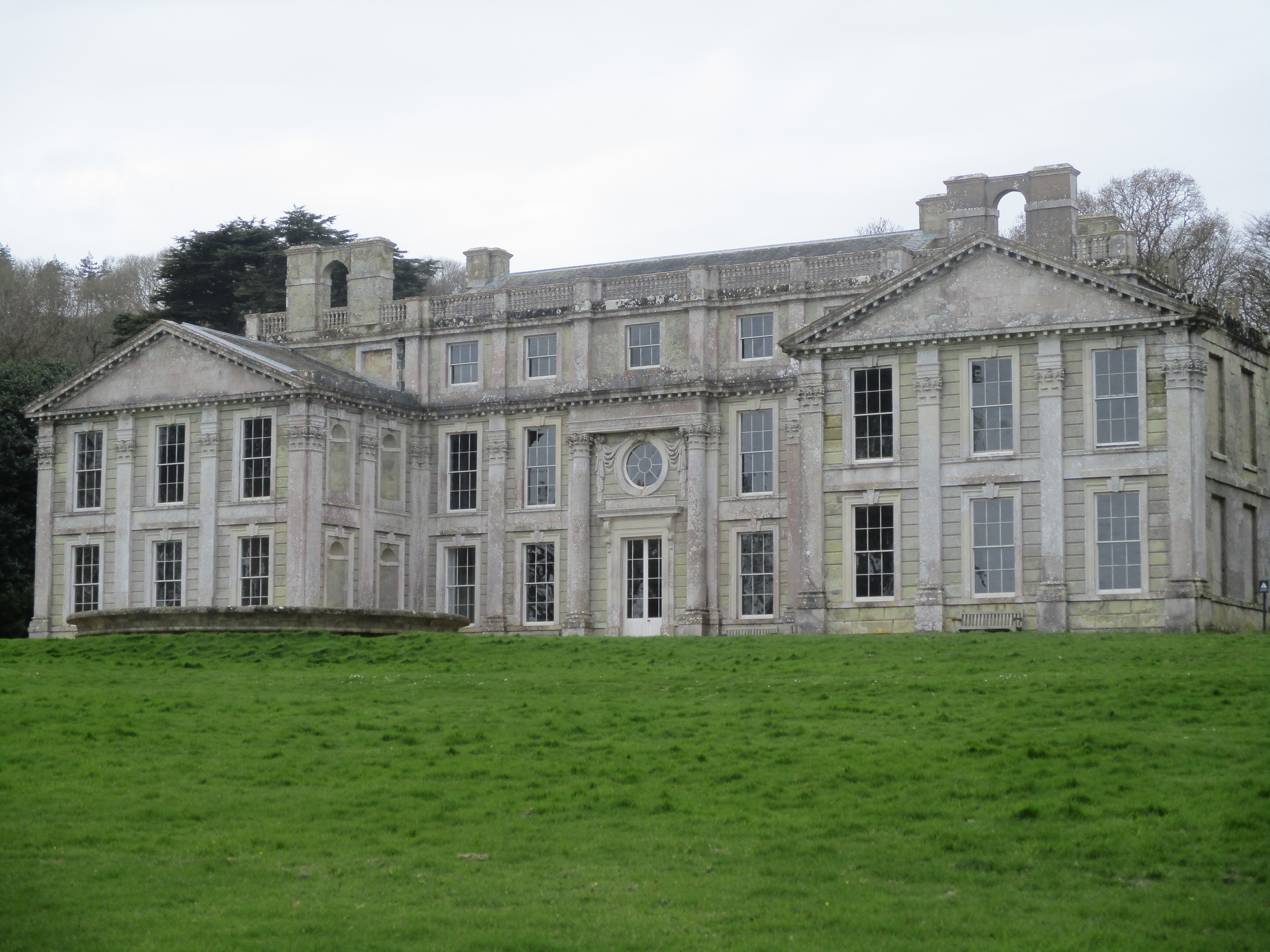
Appuldurcombe House
Appuldurcombe House (also spelt Appledorecombe or Appledore Combe) is the shell of a large 18th-century English Baroque country house of the Worsley family...
Godshill railway station
Godshill station was at Godshill on the Isle of Wight on the Newport, Godshill & St Lawrence Railway, later the Isle of Wight Central Railway. == History... ==

St John's Church, Wroxall
St. John's Church, Wroxall is a parish church in the Church of England located in Wroxall, Isle of Wight. == History == The church dates from 1875 to 1877...
Wroxall, Isle of Wight
Wroxall is a village and civil parish in the central south of the Isle of Wight. It is close to Appuldurcombe House.The parish church is St. John's Church...
Nearby Amenities
Located within 500m of 50.631359,-1.2374537Have you been to Bottom's Copse?
Leave your review of Bottom's Copse below (or comments, questions and feedback).