Ardley Wood
Wood, Forest in Oxfordshire Cherwell
England
Ardley Wood

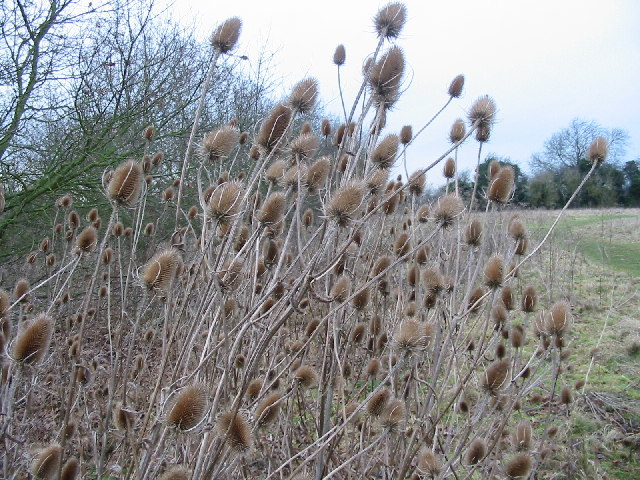
Ardley Wood is a picturesque woodland located in the county of Oxfordshire, England. Situated near the village of Ardley, the wood covers an area of approximately 20 hectares and is known for its diverse range of flora and fauna.
The wood is primarily composed of broadleaf trees, such as oak, beech, and birch, which create a dense and vibrant canopy during the summer months. This provides a haven for a variety of bird species, including woodpeckers, owls, and songbirds. The forest floor is adorned with an array of wildflowers during springtime, adding bursts of color to the woodland landscape.
Several footpaths wind their way through Ardley Wood, allowing visitors to explore its natural beauty. These paths are well-maintained and provide easy access for walkers, joggers, and nature enthusiasts. The wood also boasts a small picnic area, where visitors can relax and enjoy the serenity of the surroundings.
Ardley Wood is managed by the local council in collaboration with conservation groups. Efforts are made to preserve and protect the woodland, ensuring its ecological importance is maintained. Regular maintenance work is carried out to control invasive species and promote biodiversity.
The wood is open to the public throughout the year, offering a tranquil escape from the hustle and bustle of everyday life. Its natural beauty and peaceful atmosphere make Ardley Wood a popular destination for both locals and tourists seeking a serene woodland experience.
If you have any feedback on the listing, please let us know in the comments section below.
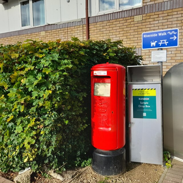
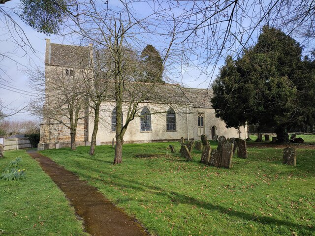
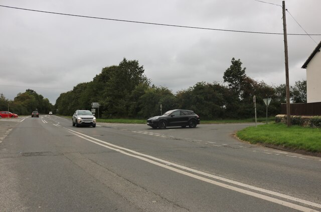
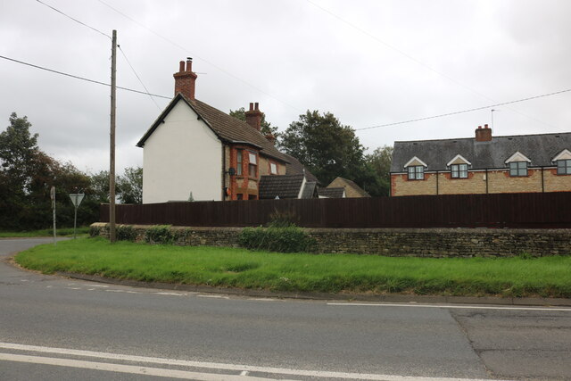
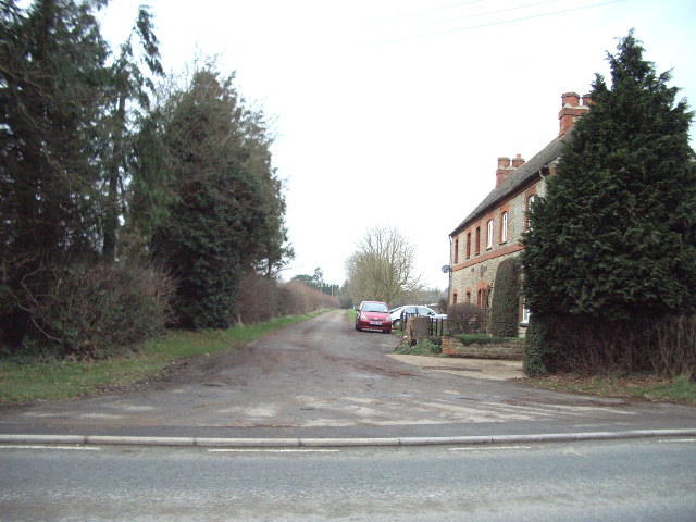
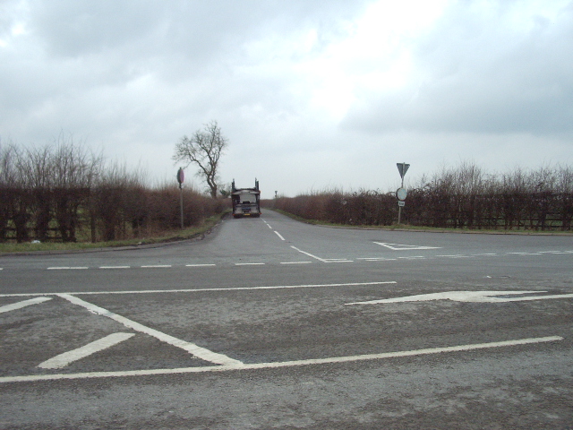
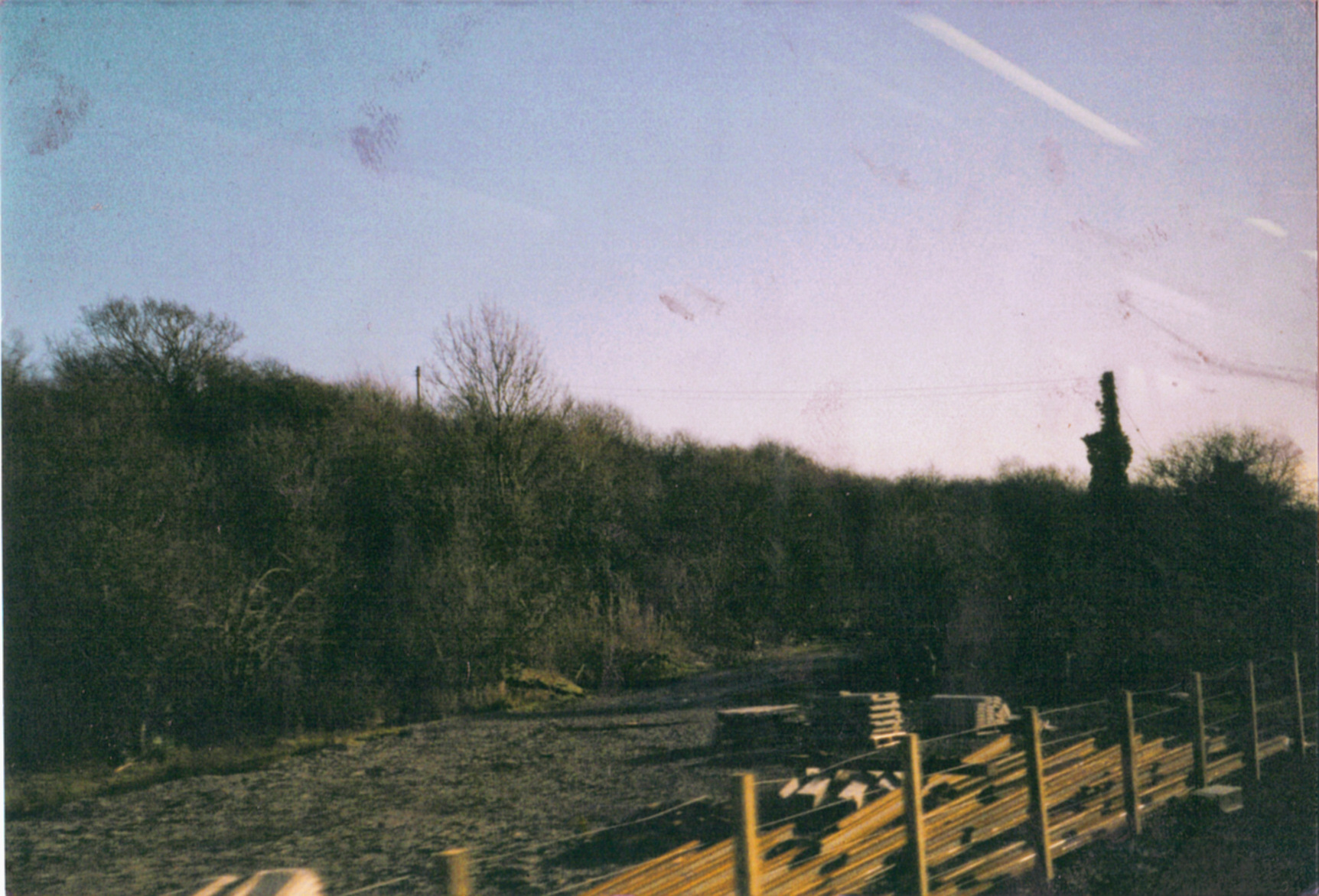
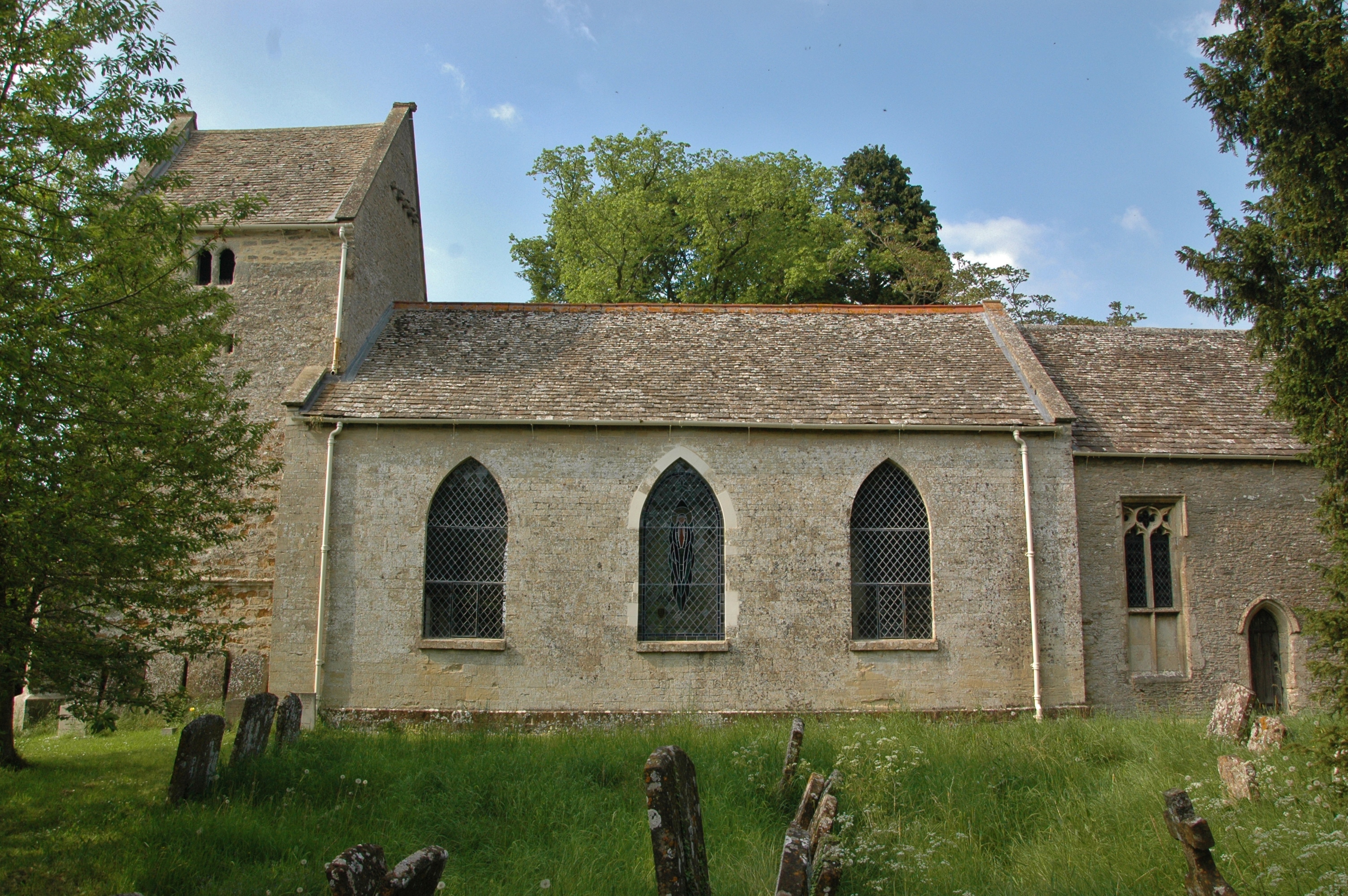
Ardley Wood Images
Images are sourced within 2km of 51.941214/-1.2202404 or Grid Reference SP5327. Thanks to Geograph Open Source API. All images are credited.


Ardley Wood is located at Grid Ref: SP5327 (Lat: 51.941214, Lng: -1.2202404)
Administrative County: Oxfordshire
District: Cherwell
Police Authority: Thames Valley
What 3 Words
///highbrow.twinge.confined. Near Somerton, Oxfordshire
Nearby Locations
Related Wikis

Ardley Cutting and Quarry
Ardley Cutting and Quarry is a 40.1-hectare (99-acre) biological and geological Site of Special Scientific Interest north-west of Bicester in Oxfordshire...

Ardley Castle
Ardley Castle was a castle to the southwest of the village of Ardley, Oxfordshire, England. At present only some of its ruins, most notably an oval enclosure...
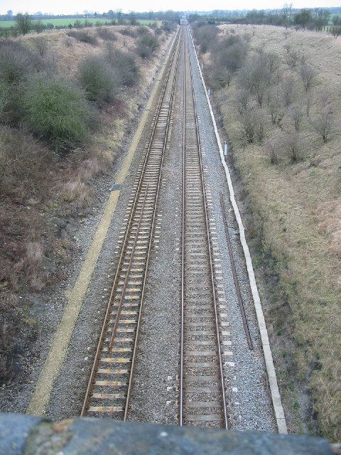
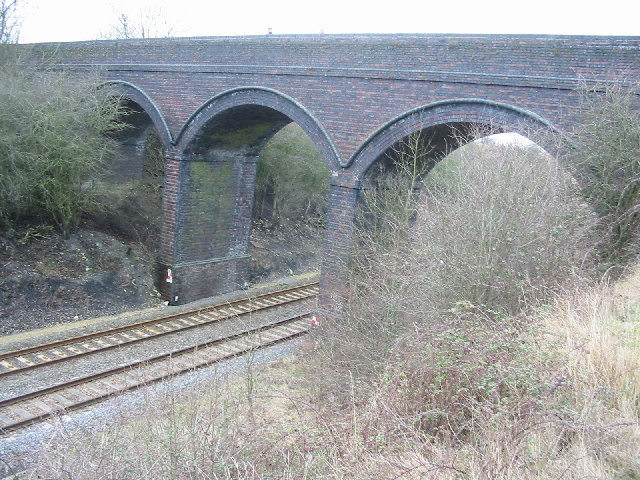
Ardley railway station
Ardley railway station was a railway station serving the village of Ardley in Oxfordshire, England. It was on what is now known as the Chiltern Main Line...
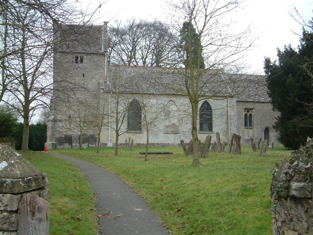
Ardley, Oxfordshire
Ardley is a village and civil parish in Oxfordshire, England, about 4 miles (6.4 km) northwest of Bicester. The parish includes the village of Fewcott...
Bicester Town F.C.
Bicester Town Football Club is a football club based in Bicester, Oxfordshire, England. == History == The club was established in 1873, a merger of Bicester...
Ardley United F.C.
Ardley United Football Club is a football club based in Ardley, near Bicester in Oxfordshire, England. They are members of the Combined Counties League...

Cherwell Valley services
Cherwell Valley services is a motorway service station on the M40 motorway at Stoke Lyne, near Bicester, in Oxfordshire, England. In August 2011 it was...

Cherwell (district)
Cherwell ( CHER-wel) is a local government district in northern Oxfordshire, England. The district was created in 1974 and takes its name from the River...
Nearby Amenities
Located within 500m of 51.941214,-1.2202404Have you been to Ardley Wood?
Leave your review of Ardley Wood below (or comments, questions and feedback).