Quarry Holes Plantation
Wood, Forest in Nottinghamshire
England
Quarry Holes Plantation

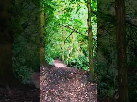
Quarry Holes Plantation is a picturesque woodland located in Nottinghamshire, England. Situated within the larger Sherwood Forest, this plantation is a haven for nature enthusiasts and outdoor adventurers alike.
Covering an area of approximately 100 acres, Quarry Holes Plantation is characterized by its dense and diverse woodland. The plantation is predominantly composed of various species of trees, including oak, birch, and beech. These towering trees provide a rich canopy that shelters a wide array of flora and fauna, creating a thriving ecosystem within the plantation.
The woodland is crisscrossed by well-maintained footpaths, allowing visitors to explore its beauty at their own pace. As one ventures deeper into the plantation, they will discover a series of old quarry holes, which give the area its name. These holes were once active limestone quarries but have since been reclaimed by nature, creating unique landscape features within the woodland.
Quarry Holes Plantation is home to a diverse range of wildlife, making it a popular spot for birdwatching and wildlife photography. Visitors may catch a glimpse of species such as woodpeckers, squirrels, and even deer. The peaceful ambiance of the woodland also makes it an ideal location for a leisurely picnic or a quiet stroll.
Managed by the Nottinghamshire Wildlife Trust, Quarry Holes Plantation is open to the public year-round, free of charge. Its accessibility and natural beauty make it a favorite destination for locals and tourists alike, offering a tranquil escape from the hustle and bustle of everyday life.
If you have any feedback on the listing, please let us know in the comments section below.
Quarry Holes Plantation Images
Images are sourced within 2km of 52.984322/-1.20161 or Grid Reference SK5343. Thanks to Geograph Open Source API. All images are credited.


Quarry Holes Plantation is located at Grid Ref: SK5343 (Lat: 52.984322, Lng: -1.20161)
Unitary Authority: Nottingham
Police Authority: Nottinghamshire
What 3 Words
///wizard.shunts.words. Near Basford, Nottinghamshire
Nearby Locations
Related Wikis

Cinderhill
Cinderhill is an area in the City of Nottingham. It is located roughly 3.1 miles (5.0 km) from the City Centre, and surrounding areas include Bulwell to...

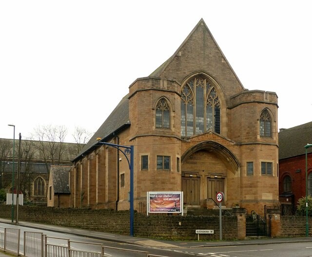
Christ Church, Cinderhill
Christ Church, Cinderhill is a Grade II listed parish church in the Church of England in Radford, Nottingham. == History == The church dates from 1856...
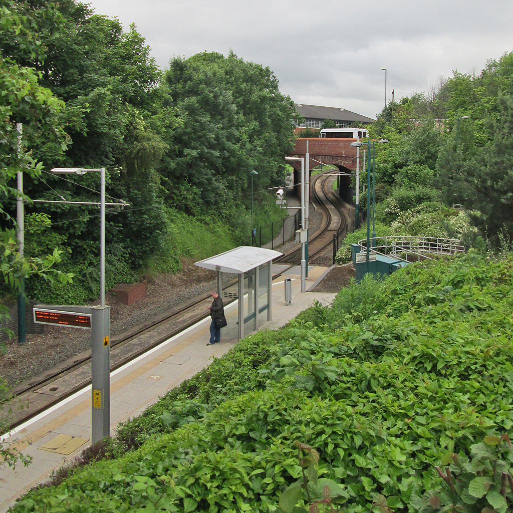
Cinderhill tram stop
Cinderhill is a tram stop on the Nottingham Express Transit (NET) light rail system in the city of Nottingham on the boundary between the suburbs of Basford...

Phoenix Park tram stop
Phoenix Park is a tram stop on the Nottingham Express Transit (NET) light rail system, in the city of Nottingham suburb of Bulwell. It serves as one of...

Babbington Colliery
Babbington Colliery, also known as Cinderhill Colliery, was a coal mine in Cinderhill, Nottinghamshire, England. The mine opened in 1841, and was the first...
William Crane Comprehensive School
William Crane School, Minver Crescent, Aspley, Nottingham, Nottingham NG8 5PN, was a school consisting of infants, juniors and seniors. The school was...
Basford United F.C.
Basford United Football Club is a football club based in Basford, a suburb of Nottingham, England. They are currently members of the Northern Premier League...
Aspley, Nottingham
Aspley is a council estate and a ward of the city of Nottingham, Nottinghamshire, England. It is located within the boundaries of Nottingham City Council...
Related Videos
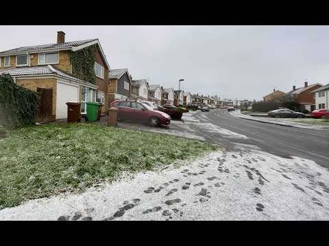
⁴ᴷ Walking in the Snow in Nottingham - UK, Binaural Sound Recording
Snow has arrived across parts of the East Midlands on Tuesday (December 29) early morning. The walking tour starts from ...
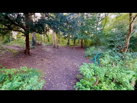
Walking through Harrison’s Plantation nature reserve (Wollaton)
Took myself for a walk before the temperature really dropped and what a delight it was ! Hope you like the music Instagram- ...
Nearby Amenities
Located within 500m of 52.984322,-1.20161Have you been to Quarry Holes Plantation?
Leave your review of Quarry Holes Plantation below (or comments, questions and feedback).