Fewcott
Settlement in Oxfordshire Cherwell
England
Fewcott
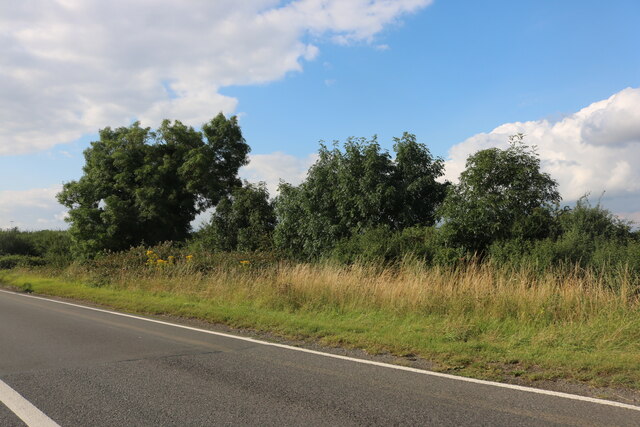
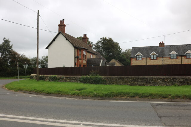
Fewcott is a small village located in the Cherwell district of Oxfordshire, England. It lies approximately 5 miles northeast of the market town of Bicester and is nestled amidst the picturesque countryside of the Oxfordshire Cotswolds. The village is surrounded by lush green fields, rolling hills, and charming rural landscapes.
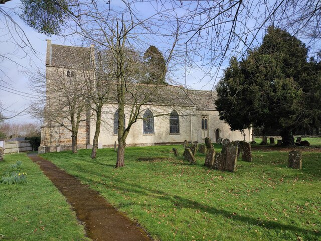
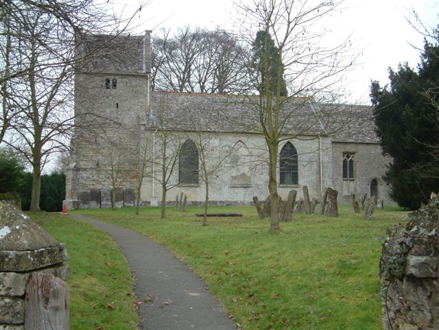
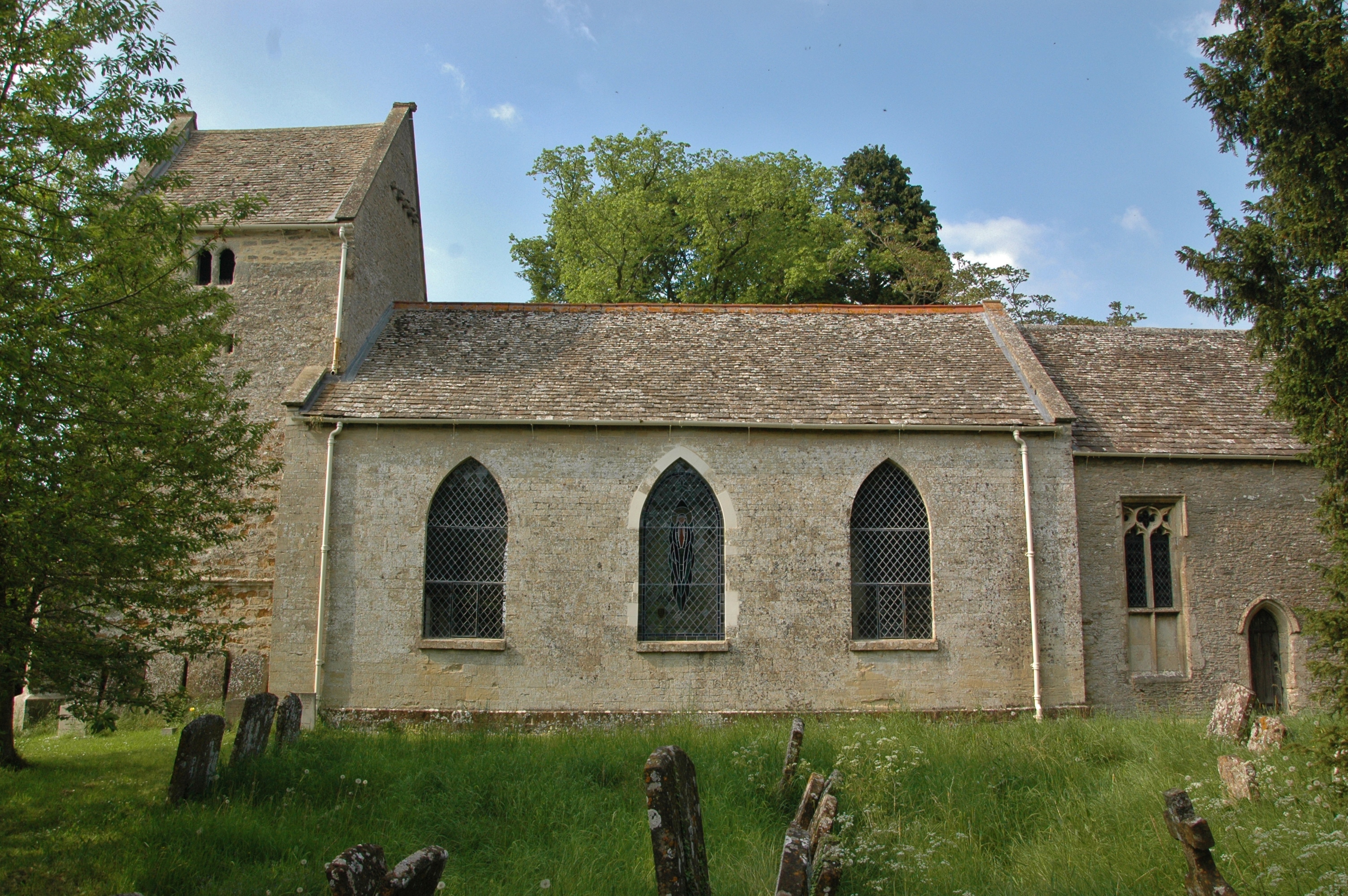
Fewcott has a rich history dating back to the Domesday Book of 1086, where it is mentioned as "Fugota." The village has retained its traditional character, with a cluster of stone cottages and period buildings lining its streets. The local parish church, St. James, is a prominent landmark, showcasing architectural features from the Norman and Gothic periods.
Although Fewcott is predominantly a residential area, it offers a tranquil and peaceful atmosphere for its residents and visitors alike. The village enjoys a close-knit community spirit, with various events and activities organized throughout the year, including summer fairs and festive celebrations.
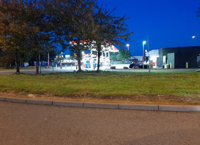
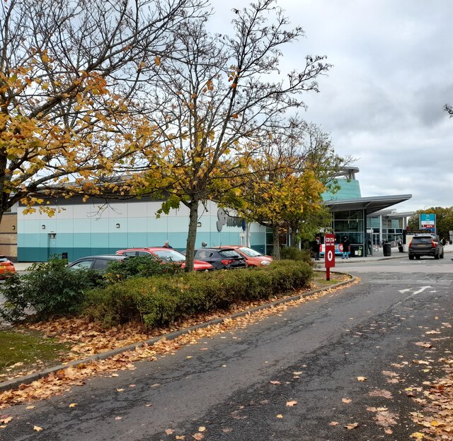
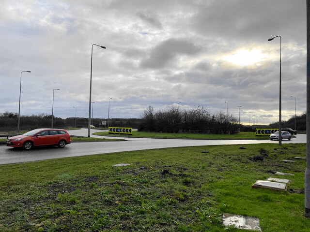
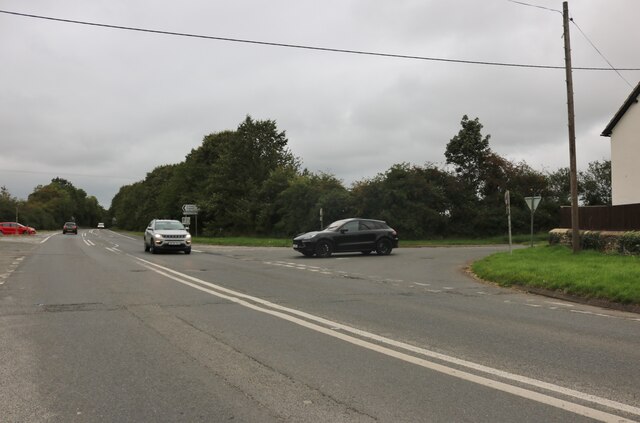
While Fewcott does not have its own primary school or shops, it benefits from its proximity to nearby towns like Bicester, providing easy access to essential amenities and services. The village is well-connected to the broader area via road networks, with the A4421 passing nearby, offering convenient links to the M40 motorway.
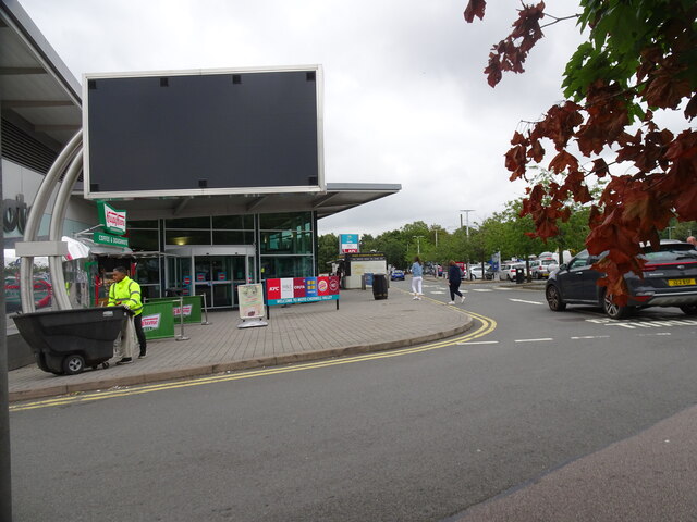
Nature enthusiasts will appreciate the abundance of walking and cycling trails surrounding Fewcott, allowing them to explore the stunning countryside and take in the picturesque views. Additionally, the village is within close proximity to attractions such as Bicester Village Outlet Shopping Centre and the historic Broughton Castle.
In summary, Fewcott offers a charming and idyllic village setting in the heart of Oxfordshire, providing a peaceful retreat for those seeking a rural lifestyle while still being conveniently connected to nearby towns and amenities.
If you have any feedback on the listing, please let us know in the comments section below.
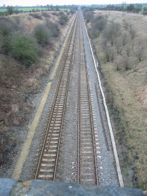
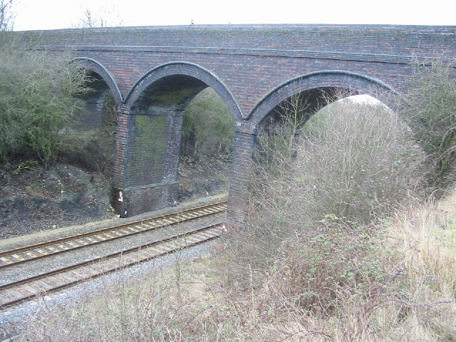
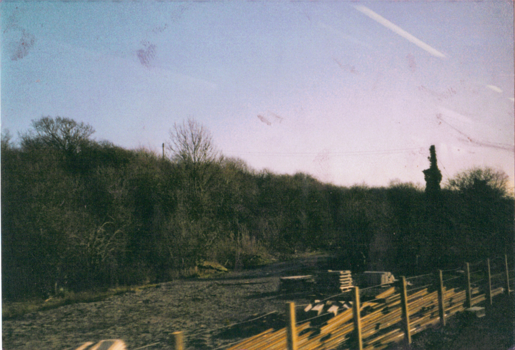
Fewcott Images
Images are sourced within 2km of 51.946144/-1.21752 or Grid Reference SP5327. Thanks to Geograph Open Source API. All images are credited.


Fewcott is located at Grid Ref: SP5327 (Lat: 51.946144, Lng: -1.21752)
Administrative County: Oxfordshire
District: Cherwell
Police Authority: Thames Valley
What 3 Words
///insisting.summer.juggler. Near Somerton, Oxfordshire
Nearby Locations
Related Wikis

Bicester Town F.C.
Bicester Town Football Club is a football club based in Bicester, Oxfordshire, England. == History == The club was established in 1873, a merger of Bicester...
Ardley United F.C.
Ardley United Football Club is a football club based in Ardley, near Bicester in Oxfordshire, England. They are members of the Combined Counties League...
Ardley Castle
Ardley Castle was a castle to the southwest of the village of Ardley, Oxfordshire, England. At present only some of its ruins, most notably an oval enclosure...

Ardley Cutting and Quarry
Ardley Cutting and Quarry is a 40.1-hectare (99-acre) biological and geological Site of Special Scientific Interest north-west of Bicester in Oxfordshire...
Ardley railway station
Ardley railway station was a railway station serving the village of Ardley in Oxfordshire, England. It was on what is now known as the Chiltern Main Line...
Ardley, Oxfordshire
Ardley is a village and civil parish in Oxfordshire, England, about 4 miles (6.4 km) northwest of Bicester. The parish includes the village of Fewcott...

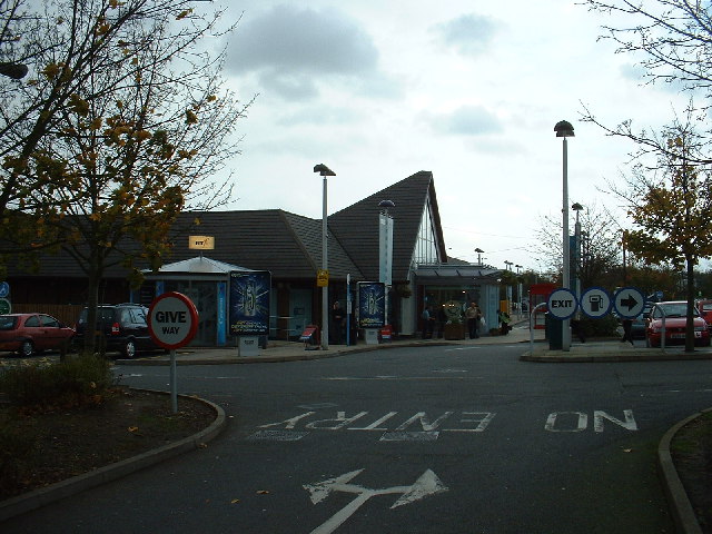
Cherwell Valley services
Cherwell Valley services is a motorway service station on the M40 motorway at Stoke Lyne, near Bicester, in Oxfordshire, England. In August 2011 it was...

Fritwell
Fritwell is a village and civil parish about 5+1⁄2 miles (9 km) northwest of Bicester in Oxfordshire. The 2011 Census recorded the parish's population...
Nearby Amenities
Located within 500m of 51.946144,-1.21752Have you been to Fewcott?
Leave your review of Fewcott below (or comments, questions and feedback).