Ardley
Civil Parish in Oxfordshire Cherwell
England
Ardley
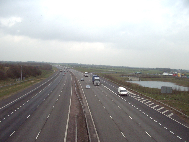
Ardley is a civil parish located in Oxfordshire, England. Situated approximately 12 miles northwest of Oxford, it covers an area of about 4 square miles. The parish is bordered by the River Ray to the north and the M40 motorway to the south, which provides convenient access to London and Birmingham.
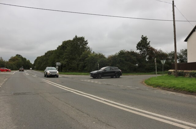
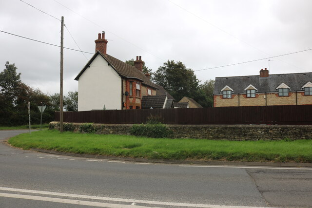
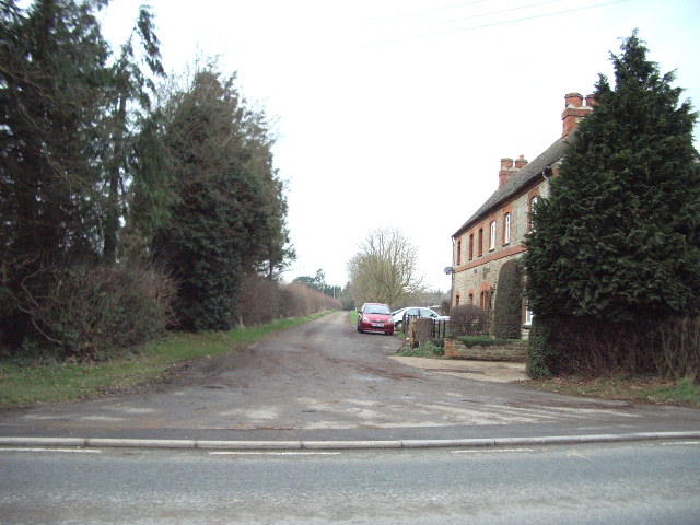
The village of Ardley itself is small and picturesque, with a population of around 200 residents. It is predominantly a rural area with a mix of agricultural land and residential properties. The village is characterized by its charming thatched-roof cottages and traditional architecture, which add to its historic charm.
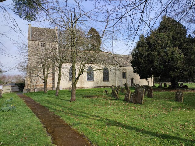
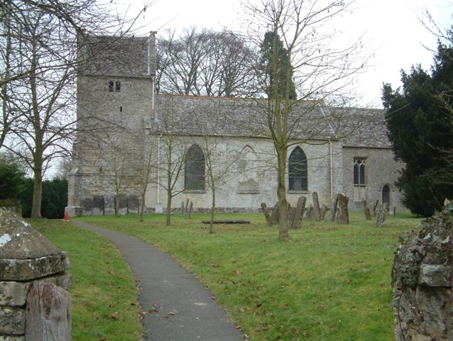
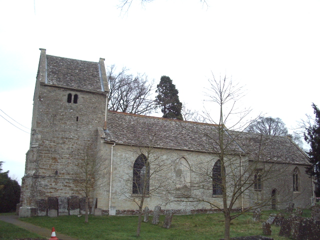
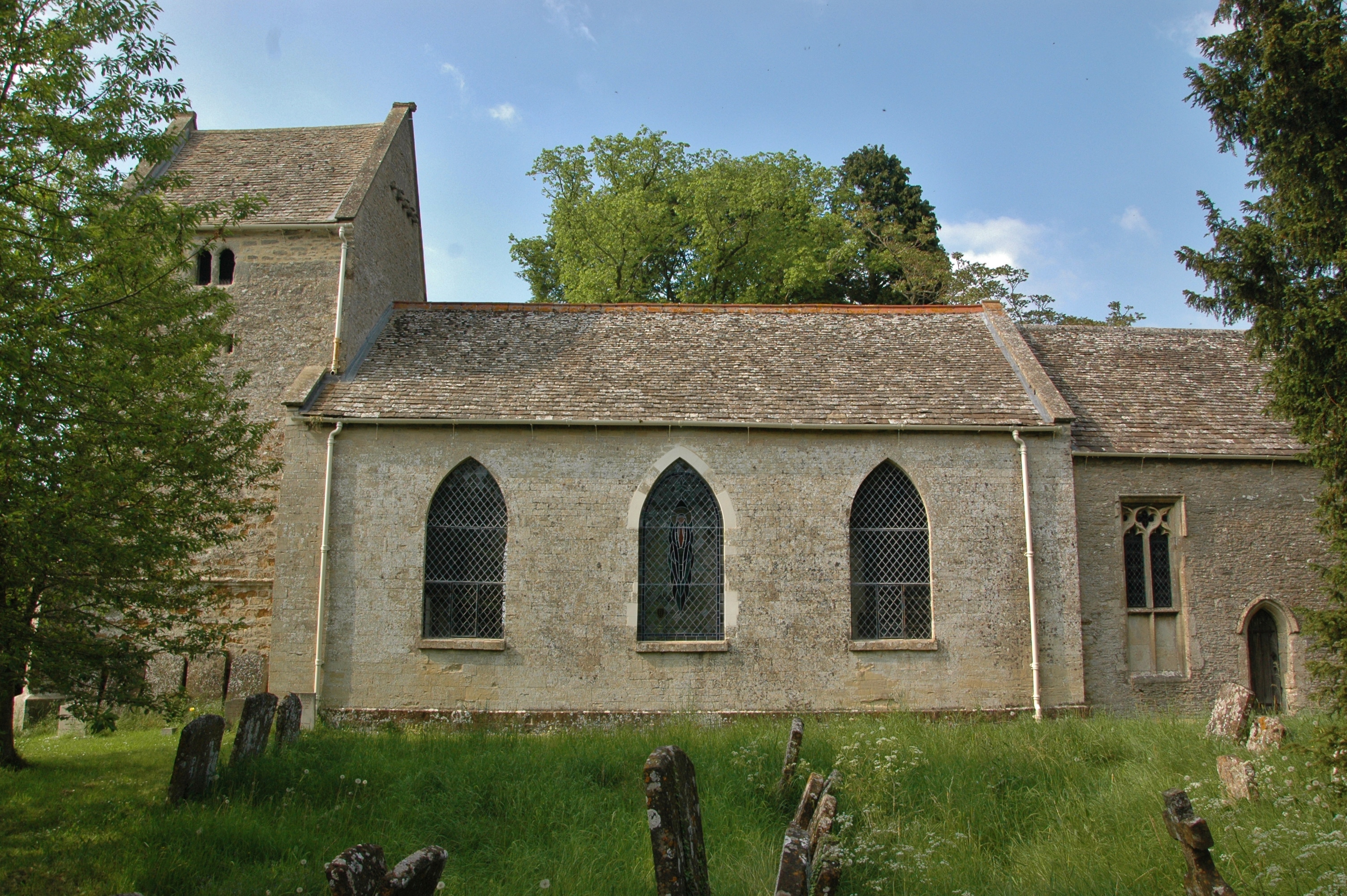
The primary landmark in Ardley is the Grade II-listed St. Mary's Church, a beautiful medieval building that dates back to the 12th century. The church serves as a focal point for the community and holds regular services and events.
Despite its small size, Ardley has a strong sense of community, with various local organizations and social clubs that bring residents together. The village also benefits from several amenities, including a local pub, a village hall, and a playground for children.
The surrounding countryside offers ample opportunities for outdoor activities, such as walking, cycling, and horse riding. The nearby Rousham House and Gardens, a stunning 18th-century manor, is a popular attraction for visitors and locals alike.
In conclusion, Ardley is a charming and tightly-knit rural community in Oxfordshire, known for its picturesque village, historic church, and beautiful countryside.
If you have any feedback on the listing, please let us know in the comments section below.
Ardley Images
Images are sourced within 2km of 51.940844/-1.219591 or Grid Reference SP5327. Thanks to Geograph Open Source API. All images are credited.


Ardley is located at Grid Ref: SP5327 (Lat: 51.940844, Lng: -1.219591)
Administrative County: Oxfordshire
District: Cherwell
Police Authority: Thames Valley
What 3 Words
///messing.woof.sneezing. Near Somerton, Oxfordshire
Nearby Locations
Related Wikis

Ardley Castle
Ardley Castle was a castle to the southwest of the village of Ardley, Oxfordshire, England. At present only some of its ruins, most notably an oval enclosure...

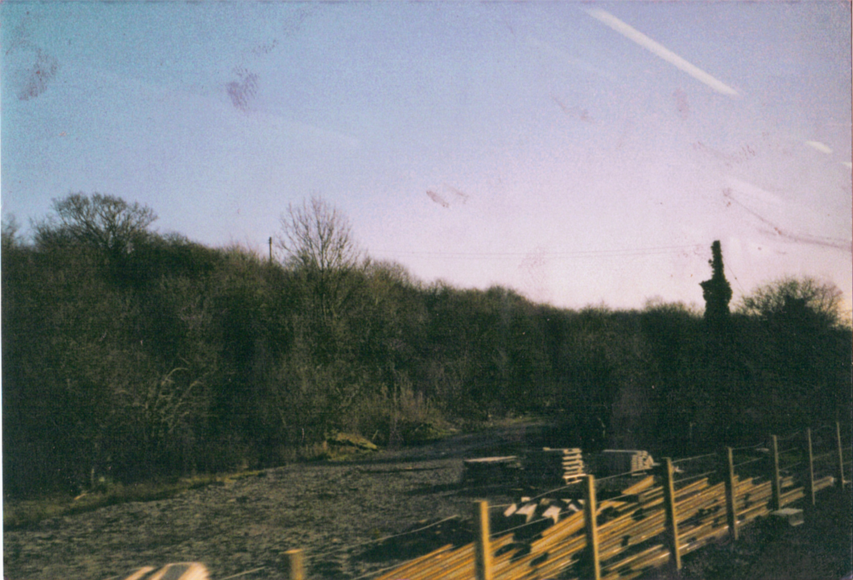
Ardley Cutting and Quarry
Ardley Cutting and Quarry is a 40.1-hectare (99-acre) biological and geological Site of Special Scientific Interest north-west of Bicester in Oxfordshire...
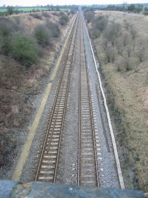
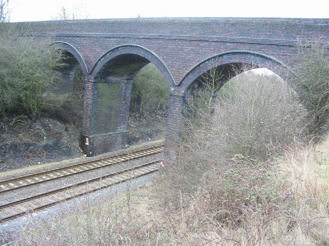
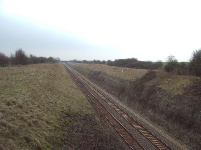
Ardley railway station
Ardley railway station was a railway station serving the village of Ardley in Oxfordshire, England. It was on what is now known as the Chiltern Main Line...
Ardley, Oxfordshire
Ardley is a village and civil parish in Oxfordshire, England, about 4 miles (6.4 km) northwest of Bicester. The parish includes the village of Fewcott...
Bicester Town F.C.
Bicester Town Football Club is a football club based in Bicester, Oxfordshire, England. == History == The club was established in 1873, a merger of Bicester...
Ardley United F.C.
Ardley United Football Club is a football club based in Ardley, near Bicester in Oxfordshire, England. They are members of the Combined Counties League...

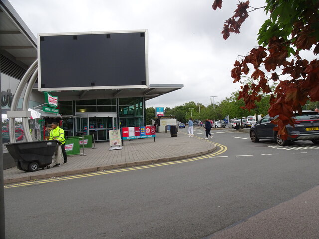
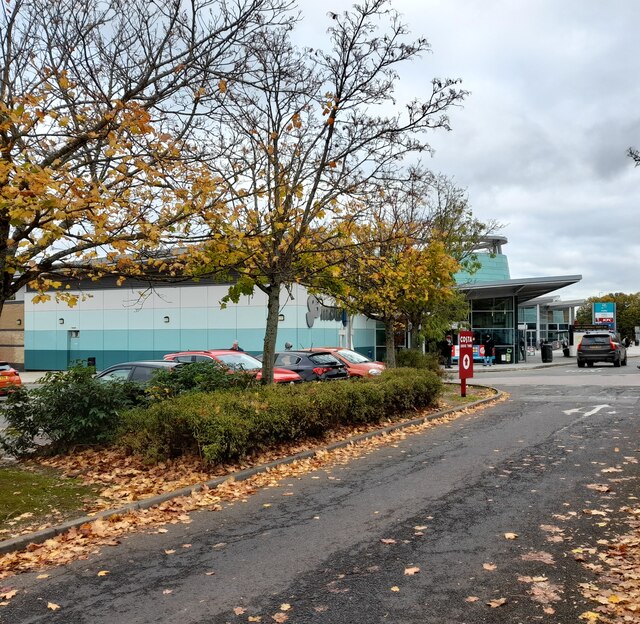
Cherwell Valley services
Cherwell Valley services is a motorway service station on the M40 motorway at Stoke Lyne, near Bicester, in Oxfordshire, England. In August 2011 it was...
Ardley Trackways
Ardley Trackways is a 63.6-hectare (157-acre) geological Site of Special Scientific Interest north-west of Bicester in Oxfordshire. It is a Geological...
Nearby Amenities
Located within 500m of 51.940844,-1.219591Have you been to Ardley?
Leave your review of Ardley below (or comments, questions and feedback).