Ardleigh
Civil Parish in Essex Tendring
England
Ardleigh

Ardleigh is a civil parish located in the Tendring district of Essex, England. It is situated about 7 miles northeast of Colchester, the largest town in the county. The parish covers an area of approximately 10 square miles and is bordered by several other parishes including Great Bromley, Little Bentley, and Great Bentley.
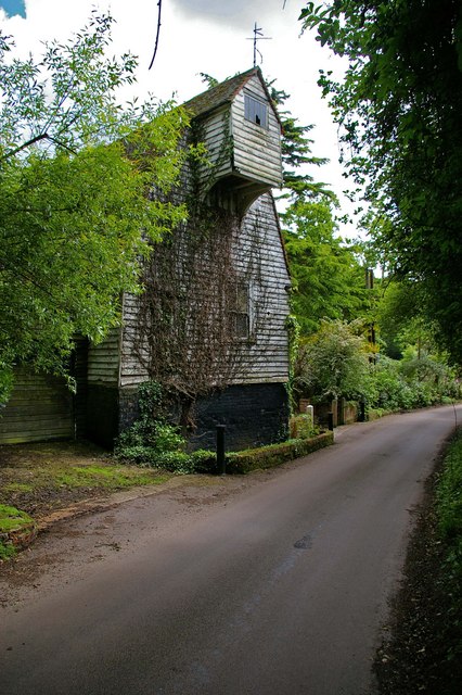
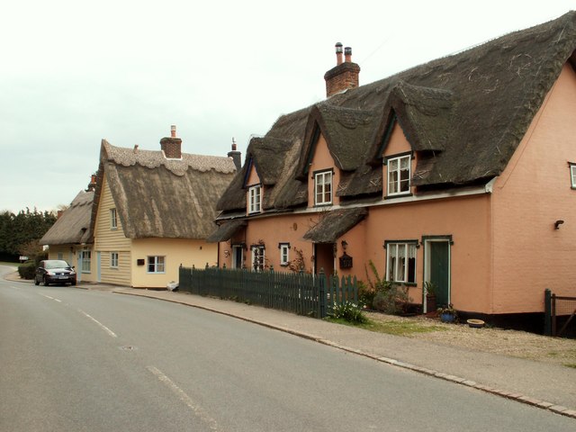
The village of Ardleigh itself is small, with a population of around 1,500 people. It has a charming, rural atmosphere and is known for its picturesque countryside and traditional English cottages. The village is centered around St. Mary's Church, a historic building that dates back to the 13th century. The church is a prominent feature of Ardleigh's landscape and serves as a focal point for the community.
Ardleigh is also home to several amenities and facilities including a primary school, a village hall, and a local pub. The village has a strong community spirit and hosts various events and activities throughout the year, such as fairs and festivals.
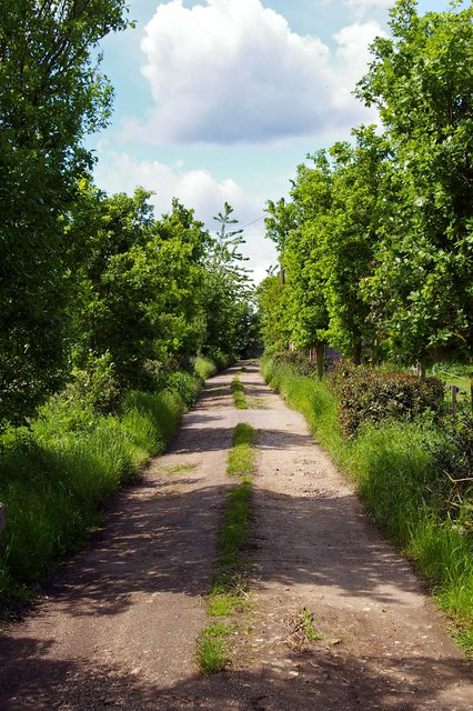
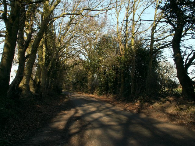
The surrounding area of Ardleigh offers beautiful natural landscapes, with rolling hills, fields, and woodlands. It is a popular destination for outdoor enthusiasts, offering opportunities for walking, cycling, and horse riding.
Overall, Ardleigh is a tranquil and idyllic village in Essex, offering a peaceful and close-knit community atmosphere. It is a place where residents can enjoy the beauty of the English countryside while still being within easy reach of larger towns and cities.
If you have any feedback on the listing, please let us know in the comments section below.
Ardleigh Images
Images are sourced within 2km of 51.919032/0.975447 or Grid Reference TM0428. Thanks to Geograph Open Source API. All images are credited.


Ardleigh is located at Grid Ref: TM0428 (Lat: 51.919032, Lng: 0.975447)
Administrative County: Essex
District: Tendring
Police Authority: Essex
What 3 Words
///fewer.briefing.saves. Near Elmstead Market, Essex
Nearby Locations
Related Wikis
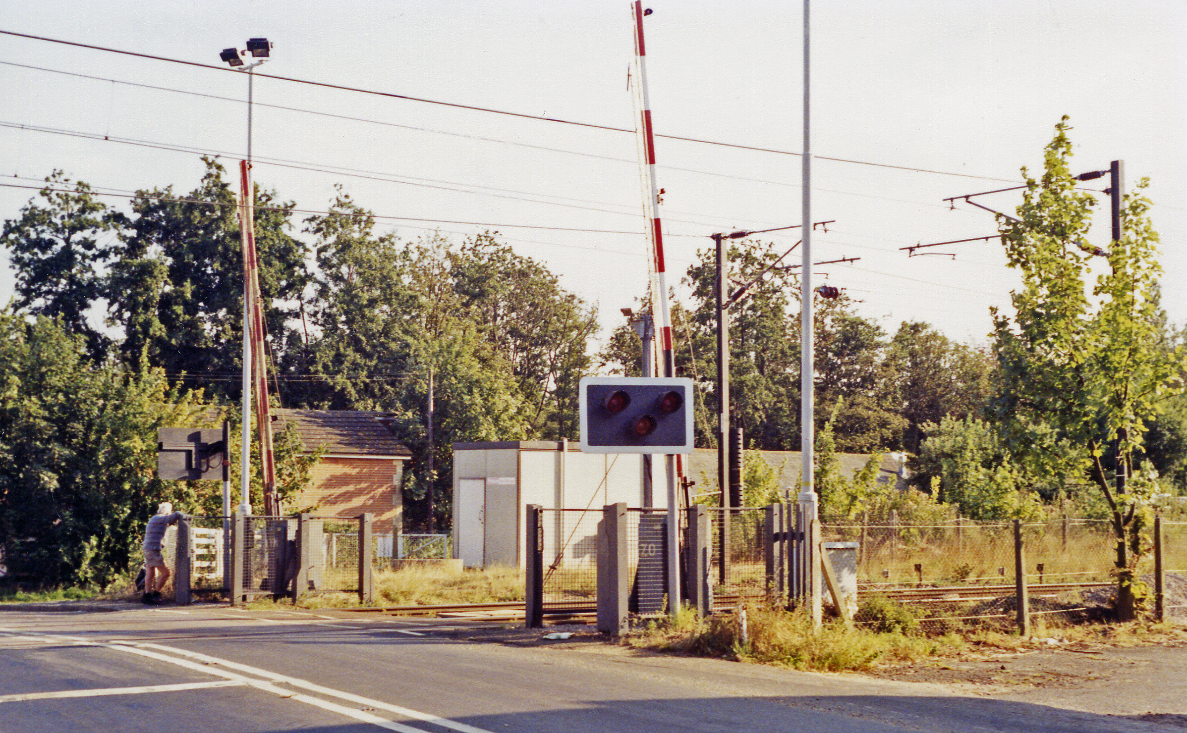
Ardleigh railway station
Ardleigh railway station served the village of Ardleigh in Essex, England. The station was situated on the Great Eastern Main Line. == History == Opened...

Ardleigh Gravel Pit
Ardleigh Gravel Pit is a 1.2-hectare (3.0-acre) geological Site of Special Scientific Interest south of Ardleigh in Essex. It is a Geological Conservation...

Ardleigh
Ardleigh is a village and civil parish in Essex, England. It is situated approximately 4 miles (6 km) northeast from the centre of Colchester and 26 miles...

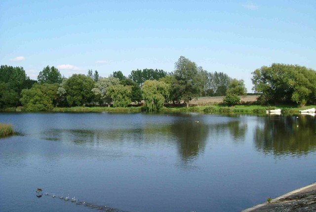
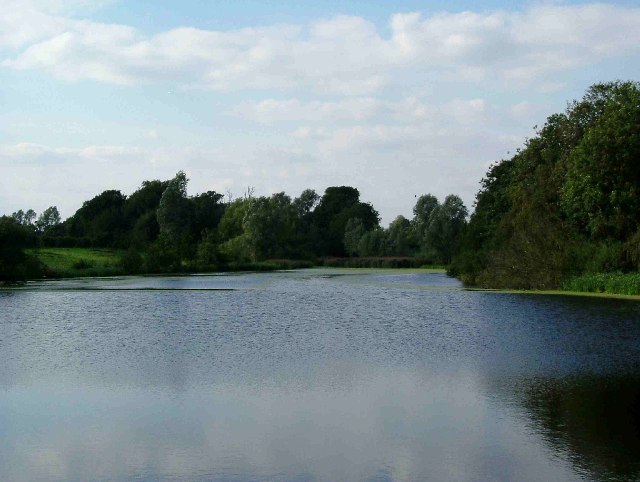
Ardleigh Reservoir
Ardleigh Reservoir is a 49-hectare (120-acre) lake near Colchester in Essex, England constructed in the valley of the Salary Brook. It supplies water both...

Ardleigh Heath
Ardleigh Heath is a hamlet on the B1029 road, in the Tendring District of the county of Essex, England. It is located between Lamb Corner and Dedham (to...

Crockleford Heath
Crockleford Heath is part of the village and civil parish of Ardleigh in Essex. It is located 2+1⁄2 miles south-west of the village centre.Crockleford...
Lamb Corner
Lamb Corner is a hamlet on the B1029 road, in the civil parish of Dedham in the Colchester district, in the county of Essex, England. Lamb Corner formerly...

Bullock Wood
Bullock Wood is a 23.3-hectare (58-acre) biological Site of Special Scientific Interest on the northern outskirts of Colchester in Essex.The site is mature...
Nearby Amenities
Located within 500m of 51.919032,0.975447Have you been to Ardleigh?
Leave your review of Ardleigh below (or comments, questions and feedback).