Wimble's Wood
Wood, Forest in Berkshire
England
Wimble's Wood
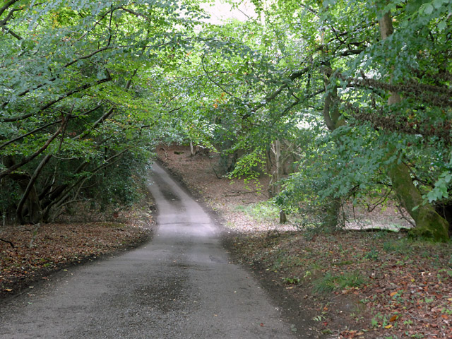
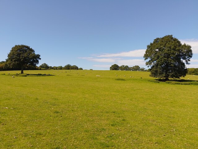
Wimble's Wood is a stunning forest located in the county of Berkshire, England. Spanning an area of approximately 500 acres, this wood is renowned for its natural beauty and diverse wildlife. It is situated near the village of Wimble, which adds to its charm and accessibility.
The wood is predominantly composed of deciduous trees such as oak, beech, and birch, creating a vibrant and ever-changing landscape throughout the seasons. In spring, the forest floor is carpeted with bluebells, creating a breathtaking scene. During autumn, the foliage transforms into a stunning array of golden and red hues, attracting visitors from far and wide.
Wimble's Wood is not only visually stunning but also serves as an important habitat for various species. The abundance of trees provides a habitat for numerous bird species, including woodpeckers, owls, and songbirds. The forest also supports a diverse range of mammals, including deer, foxes, and badgers.
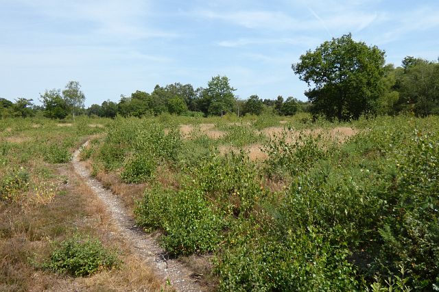
The wood offers an extensive network of walking trails, making it a popular destination for outdoor enthusiasts and nature lovers. Visitors can explore the wood's picturesque scenery along the winding paths, enjoying the peaceful ambiance and the sound of bird songs.
Wimble's Wood also has a picnic area and a small visitor center, providing information about the woodland's ecology and history. The wood is well-maintained, with regular conservation efforts ensuring the preservation of its natural beauty and biodiversity.
In conclusion, Wimble's Wood in Berkshire is a captivating forest that offers a tranquil escape from the bustling world. With its stunning scenery, diverse wildlife, and well-maintained trails, it is a haven for nature enthusiasts and a must-visit destination for anyone seeking solace in the heart of nature.
If you have any feedback on the listing, please let us know in the comments section below.
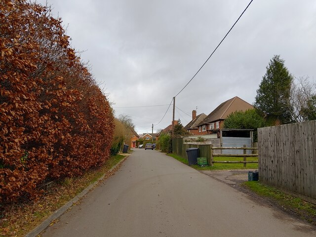
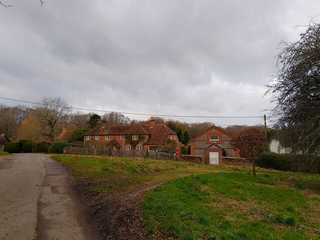
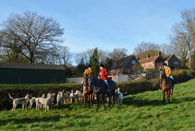
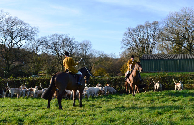
Wimble's Wood Images
Images are sourced within 2km of 51.411421/-1.2292834 or Grid Reference SU5368. Thanks to Geograph Open Source API. All images are credited.


Wimble's Wood is located at Grid Ref: SU5368 (Lat: 51.411421, Lng: -1.2292834)
Unitary Authority: West Berkshire
Police Authority: Thames Valley
What 3 Words
///announced.ourselves.graver. Near Thatcham, Berkshire
Nearby Locations
Related Wikis

Colthrop
Colthrop is a suburb of the town of Thatcham in the English county of Berkshire, England. == Geography == Colthrop is part of the civil parish of Thatcham...

Kennet School
Kennet School is an academy secondary school in Thatcham, Berkshire, England. In 2011, Kennet was the highest achieving state school in West Berkshire...

Old Bluecoat School, Thatcham
Old Bluecoat School, or the St Thomas’ Chapel is a Grade I listed building in the town of Thatcham in the English county of Berkshire. It is located on...

Briff Lane Meadows
Briff Lane Meadows is a 8.9-hectare (22-acre) biological Site of Special Scientific Interest north of Thatcham in Berkshire.These meadows have unimproved...

Colthrop Lock
Colthrop Lock is a lock on the Kennet and Avon Canal, at Thatcham, Berkshire, England. Colthrop Lock was built between 1718 and 1723 under the supervision...

Thatcham railway station
Thatcham railway station serves the market town of Thatcham in Berkshire, England. It is 49 miles 45 chains (49.56 mi; 79.8 km) measured from the zero...

Midgham
Midgham is a village and civil parish occupying slopes and the flood plain on the north side of the River Kennet, which in summer months draws much of...
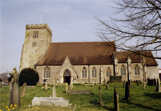
St Mary's Church, Thatcham
The St Mary's Church is a Church of England parish church at Thatcham in the English county of Berkshire. It is dedicated to the Virgin Mary and is a Grade...
Nearby Amenities
Located within 500m of 51.411421,-1.2292834Have you been to Wimble's Wood?
Leave your review of Wimble's Wood below (or comments, questions and feedback).