Big Gully

Valley in Berkshire

England

Big Gully

Roundfield, Upper Bucklebury One of two cul-de-sacs sharing the same name.
Roundfield, Upper Bucklebury Credit: Oscar

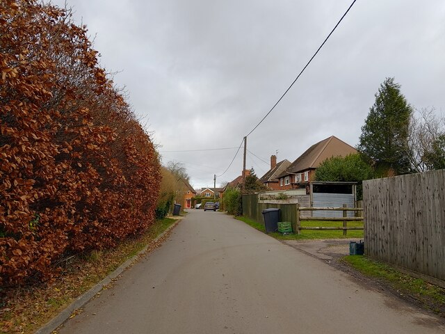
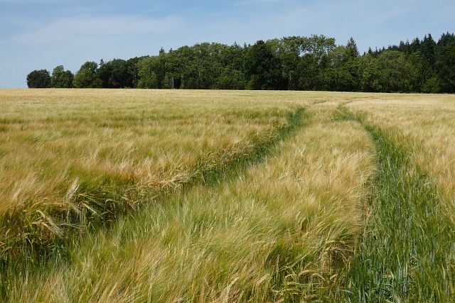
Big Gully is a picturesque valley located in Berkshire, a county in southern England. Known for its stunning natural beauty and diverse wildlife, the valley stretches for approximately 5 miles and is nestled between rolling hills and dense woodland.

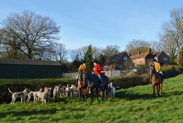
The valley is famous for its glistening streams and small waterfalls that flow throughout, creating a tranquil atmosphere for visitors. The crystal-clear waters are home to a variety of fish species, making it a popular spot for fishing enthusiasts. The surrounding woodlands are teeming with wildlife, including deer, foxes, and a wide array of bird species, making it a haven for nature lovers and birdwatchers.

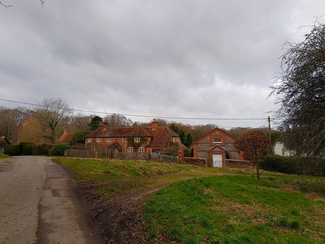
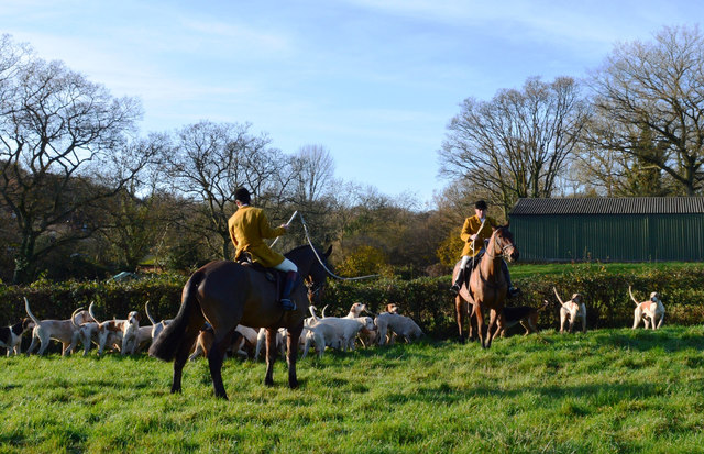
The landscape of Big Gully is characterized by its lush green meadows, covered with wildflowers during the spring and summer months. Hiking and walking trails crisscross the valley, offering breathtaking views of the surrounding countryside. The valley is also home to an abundance of ancient trees, some dating back hundreds of years, which add to the area's natural charm.

In addition to its natural beauty, Big Gully boasts a rich history. The ruins of an old watermill can still be seen in the valley, reminding visitors of its past as an important industrial site. The valley is also dotted with ancient burial mounds, providing glimpses into its prehistoric origins.

Overall, Big Gully in Berkshire offers a peaceful retreat for those seeking to reconnect with nature, explore its diverse wildlife, and immerse themselves in its rich history.

If you have any feedback on the listing, please let us know in the comments section below.
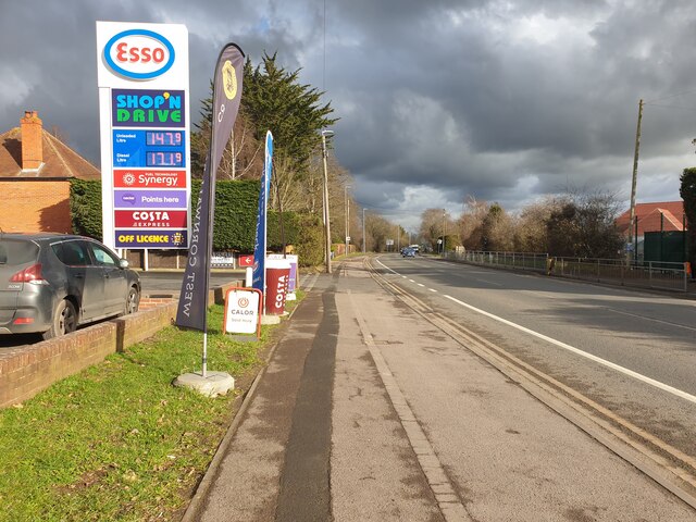
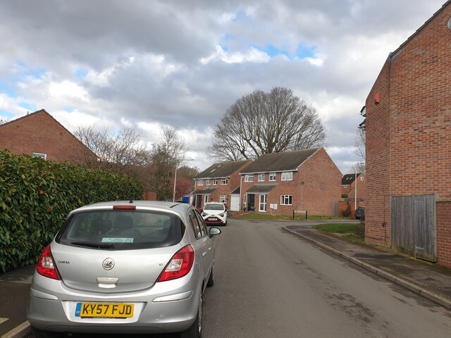
Big Gully Images

Images are sourced within 2km of 51.409269/-1.2343806 or Grid Reference SU5368. Thanks to Geograph Open Source API. All images are credited.

Roundfield, Upper Bucklebury One of two cul-de-sacs sharing the same name.
Roundfield, Upper Bucklebury
One of two cul-de-sacs sharing the same name.
Turners Green, Upper Bucklebury Apple Tree Cottage to the left, a small church to the centre and Turners Green House to the right.
Turners Green, Upper Bucklebury
Apple Tree Cottage to the left, a small church to the centre and Turners Green House to the right.
Before the hunt, Bucklebury, Berkshire
Excited hounds, Bucklebury, Berkshire
Farmland, Thatcham Spring barley and Blacklands Copse viewed from the footpath to the east of Colthrop Manor.
Farmland, Thatcham
Spring barley and Blacklands Copse viewed from the footpath to the east of Colthrop Manor.
Holly Lane Holly Lane is the name of "Bucklebury Quiet Lane", which passes through Bucklebury Common.
Holly Lane
Holly Lane is the name of "Bucklebury Quiet Lane", which passes through Bucklebury Common.
Junction at Holly Lane on Broad Lane A view over the junction to Holly Lane along Broad Lane.
Junction at Holly Lane on Broad Lane
A view over the junction to Holly Lane along Broad Lane.
Broad Lane A look along Broad Lane from the junction at Holly Lane.
Broad Lane
A look along Broad Lane from the junction at Holly Lane.
London Road A view east along London Road in Thatcham, near to the Esso garage.
London Road
A view east along London Road in Thatcham, near to the Esso garage.
London Road A view west along London Road.
London Road
A view west along London Road.
Withybed Way The end of the cul-de-sac Withybed Way, looking at woodland. Lots of newly developed houses.
Withybed Way
The end of the cul-de-sac Withybed Way, looking at woodland. Lots of newly developed houses.
Withybed Way Looking along Withybed Way towards Cowslip Crescent.
Withybed Way
Looking along Withybed Way towards Cowslip Crescent.
Billington Way Looking towards Heath Lane on Billington Way.
Billington Way
Looking towards Heath Lane on Billington Way.
Billington Way Looking towards the junction with Maynard Close on Billington Way.
Billington Way
Looking towards the junction with Maynard Close on Billington Way.
High Street, Thatcham One has to drive round the houses a bit to get into the High Street.  Once there, the selection of shops includes Kings Chinese takeaway, Refine Hair salon, Legends barbers <span class="nowrap"><a title="https://legendsbarbersthatcham.nearcut.com/" rel="nofollow ugc noopener" href="https://legendsbarbersthatcham.nearcut.com/">Link</a><img style="margin-left:2px;" alt="External link" title="External link - shift click to open in new window" src="https://s1.geograph.org.uk/img/external.png" width="10" height="10"/></span> and SA-ZIM <span class="nowrap"><a title="https://sa-zim.co.uk/" rel="nofollow ugc noopener" href="https://sa-zim.co.uk/">Link</a><img style="margin-left:2px;" alt="External link" title="External link - shift click to open in new window" src="https://s1.geograph.org.uk/img/external.png" width="10" height="10"/></span> which sells food and drink from South Africa.
High Street, Thatcham
One has to drive round the houses a bit to get into the High Street. Once there, the selection of shops includes Kings Chinese takeaway, Refine Hair salon, Legends barbers LinkExternal link and SA-ZIM LinkExternal link which sells food and drink from South Africa.
Train passes cows Looking from a footbridge over a weir by the Kennet and Avon Canal over a field of cows at a train passing, with electricity pylons overhead.
Train passes cows
Looking from a footbridge over a weir by the Kennet and Avon Canal over a field of cows at a train passing, with electricity pylons overhead.
Towing path by Kennet and Avon Canal Looking east towards Thatcham Station on the Kennet and Avon Canal towing path. The bridge ahead is Thatcham Bridge (number 42) and connects Station Road and Crookham Hill.
Towing path by Kennet and Avon Canal
Looking east towards Thatcham Station on the Kennet and Avon Canal towing path. The bridge ahead is Thatcham Bridge (number 42) and connects Station Road and Crookham Hill.
Show me another place!

Big Gully is located at Grid Ref: SU5368 (Lat: 51.409269, Lng: -1.2343806)

Unitary Authority: West Berkshire

Police Authority: Thames Valley

What 3 Words

///steroids.burden.premature. Near Thatcham, Berkshire

Related Wikis

Colthrop

Colthrop is a suburb of the town of Thatcham in the English county of Berkshire, England. == Geography == Colthrop is part of the civil parish of Thatcham...

Kennet School

Kennet School is an academy secondary school in Thatcham, Berkshire, England. In 2011, Kennet was the highest achieving state school in West Berkshire...

Old Bluecoat School, Thatcham

Old Bluecoat School, or the St Thomas’ Chapel is a Grade I listed building in the town of Thatcham in the English county of Berkshire. It is located on...

Thatcham railway station

Thatcham railway station serves the market town of Thatcham in Berkshire, England. It is 49 miles 45 chains (49.56 mi; 79.8 km) measured from the zero...

Colthrop Lock

Colthrop Lock is a lock on the Kennet and Avon Canal, at Thatcham, Berkshire, England. Colthrop Lock was built between 1718 and 1723 under the supervision...

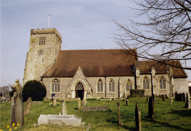
St Mary's Church, Thatcham

The St Mary's Church is a Church of England parish church at Thatcham in the English county of Berkshire. It is dedicated to the Virgin Mary and is a Grade...

A.F.C. Aldermaston

A.F.C. Aldermaston is a football club based in Aldermaston, Berkshire, England. Affiliated to the Berks & Bucks Football Association, the club are currently...

Monkey Marsh Lock

Monkey Marsh Lock is a lock on the Kennet and Avon Canal, at Thatcham, Berkshire, England. Monkey Marsh Lock was built between 1718 and 1723 under the...

Nearby Amenities

Located within 500m of 51.409269,-1.2343806
Siege Cross Farm Airstrip
Disused Aeroway: airstrip
Note: Activity status seems doubtful
Lat/Long: 51.4048898/-1.2330389
The data included in this document is from www.openstreetmap.org. The data is made available under ODbL.

Have you been to Big Gully?

Leave your review of Big Gully below (or comments, questions and feedback).