Burden's Heath Plantation

Wood, Forest in Berkshire

England

Burden's Heath Plantation

Roundfield, Upper Bucklebury One of two cul-de-sacs sharing the same name.
Roundfield, Upper Bucklebury Credit: Oscar

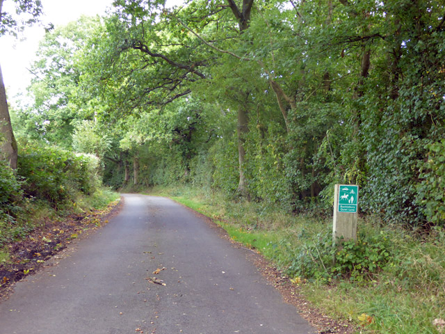
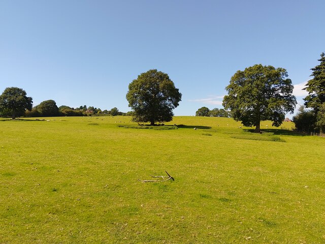
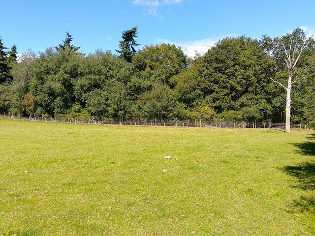
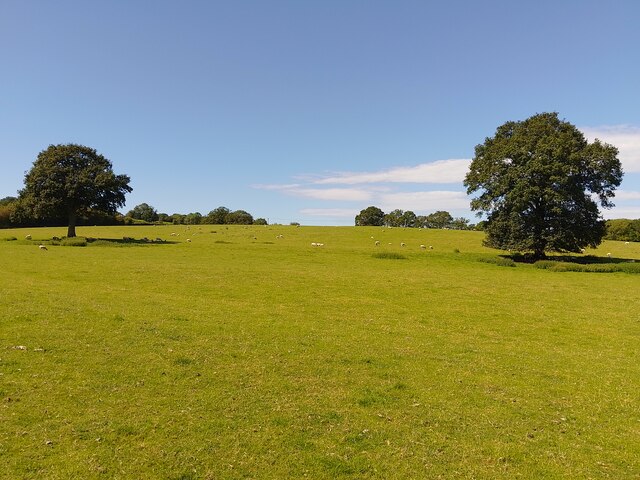
Burden's Heath Plantation is a picturesque woodland located in Berkshire, England. Covering an area of approximately 200 acres, this plantation is home to a diverse range of flora and fauna, making it a haven for nature enthusiasts and wildlife lovers.

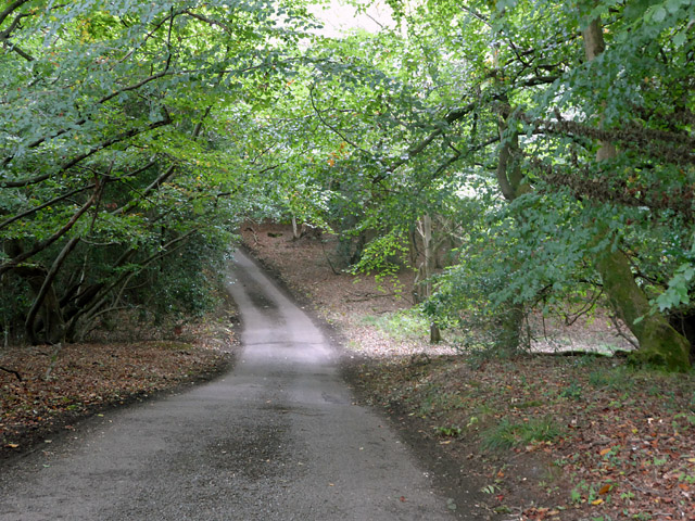
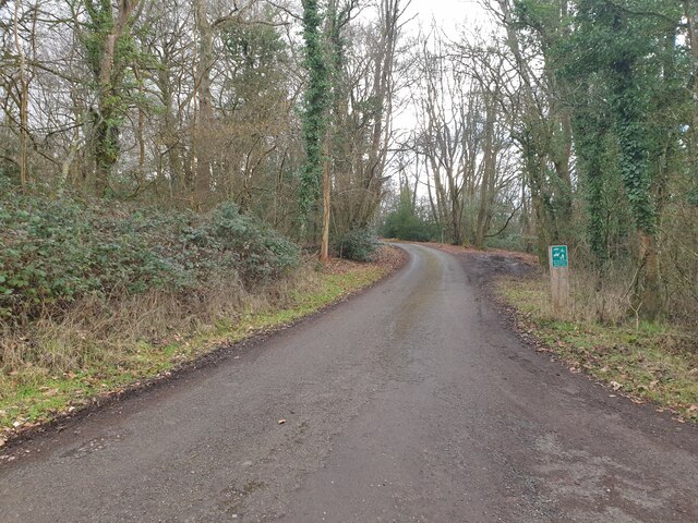
The plantation is characterized by its dense, mature woodland consisting primarily of deciduous trees such as oak, beech, and birch. These towering trees create a cool and shady environment, perfect for leisurely walks and exploration. The forest floor is covered in a carpet of moss, ferns, and wildflowers, adding to the enchanting atmosphere.

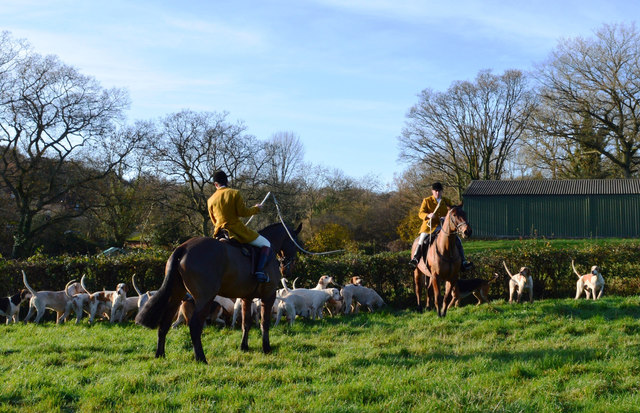
Burden's Heath Plantation is more than just a woodland; it also serves as an important habitat for various wildlife species. Visitors may spot squirrels nimbly scampering across branches or hear the melodious songs of woodland birds, including the thrush and blackbird. The plantation is also home to a diverse range of insects, including butterflies and beetles, which can be seen fluttering and scurrying through the undergrowth.

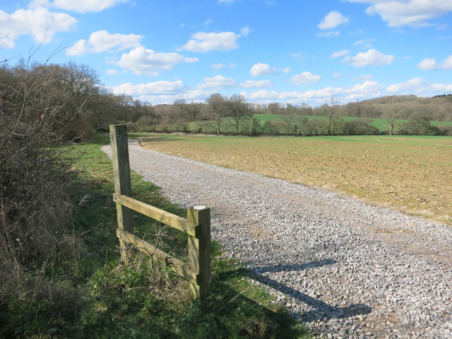
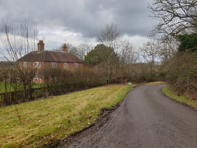
In addition to its natural beauty, the Burden's Heath Plantation offers several amenities to enhance visitors' experience. Well-maintained footpaths and trails wind through the woods, allowing for leisurely strolls or more adventurous hikes. Picnic areas are scattered throughout the plantation, providing a tranquil setting for visitors to relax and enjoy a packed lunch.

Overall, Burden's Heath Plantation is a captivating woodland that offers a serene escape from the hustle and bustle of everyday life. Its lush vegetation, diverse wildlife, and well-managed facilities make it a must-visit destination for nature lovers and those seeking a tranquil retreat in Berkshire.

If you have any feedback on the listing, please let us know in the comments section below.

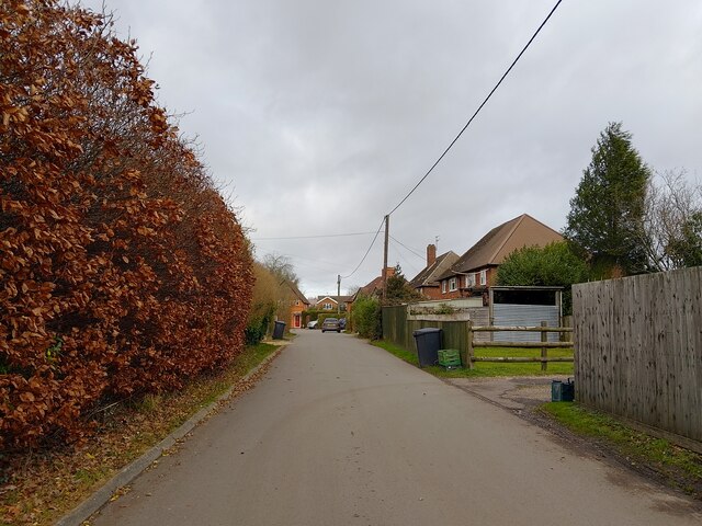
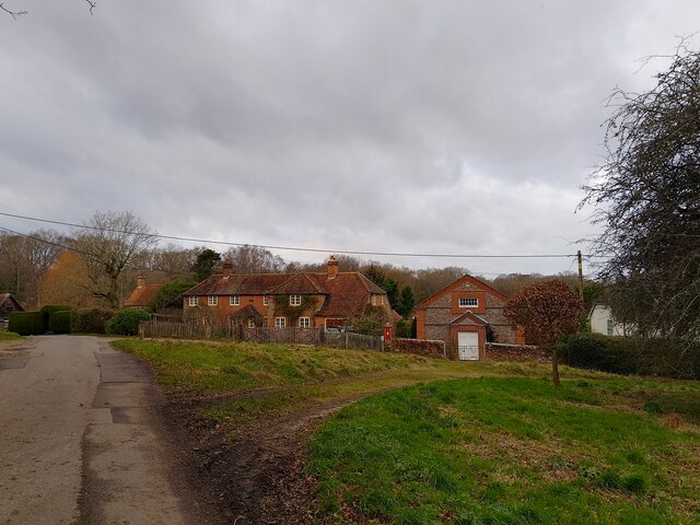
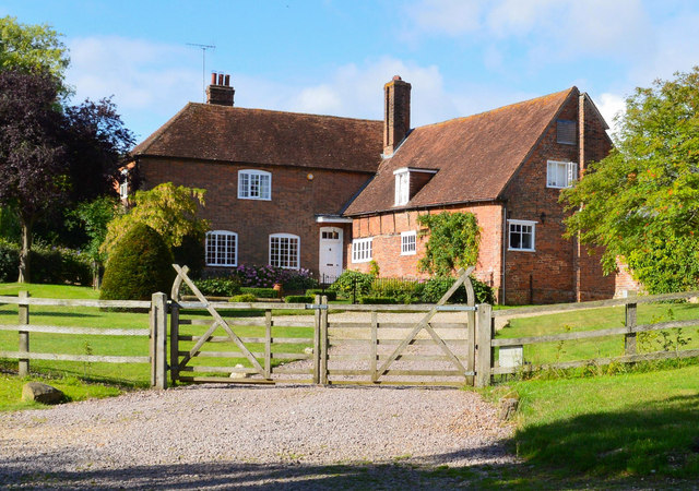
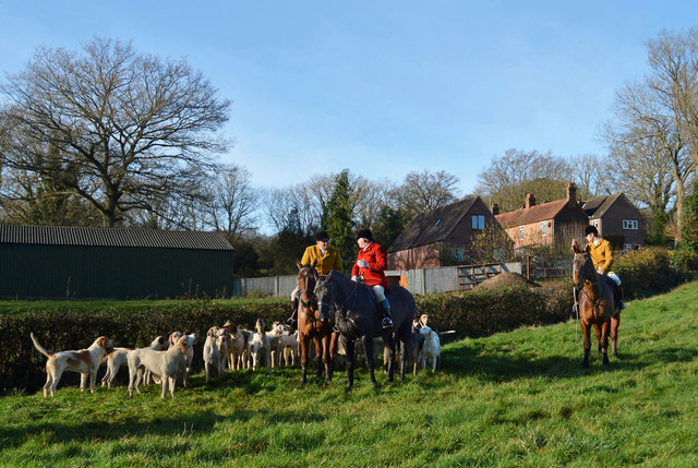
Burden's Heath Plantation Images

Images are sourced within 2km of 51.416961/-1.2364092 or Grid Reference SU5368. Thanks to Geograph Open Source API. All images are credited.

Roundfield, Upper Bucklebury One of two cul-de-sacs sharing the same name.
Roundfield, Upper Bucklebury
One of two cul-de-sacs sharing the same name.
Turners Green, Upper Bucklebury Apple Tree Cottage to the left, a small church to the centre and Turners Green House to the right.
Turners Green, Upper Bucklebury
Apple Tree Cottage to the left, a small church to the centre and Turners Green House to the right.
Hillhouse Farmhouse, Bucklebury, Berkshire Circa 1600 with some C19 refacing and large C19 wing to south. Brick, timber framed with brick nogging, some later brick refacing. Old tile roof, hipped over projecting wing to left with stack off-centre to left, stack to right and C20 dormer with casements. L-plan: 3 framed bays of one storey and attic with large C19 two storey wing projecting to left. East front: brick faced bay to right, 2-light C19 casement in centre bay and 5-light C19 casement in left-hand bay. Projecting wing, right-hand return wall: one first floor 3-light segemental headed casement and 2 ground floor 3-light segmental headed casements to left. 5-panelled door to right with rectangular overlight under segmental head and C20 porch. Interior: frame includes one pair of cruck blades.

(Source:Historic England)
Hillhouse Farmhouse, Bucklebury, Berkshire
Circa 1600 with some C19 refacing and large C19 wing to south. Brick, timber framed with brick nogging, some later brick refacing. Old tile roof, hipped over projecting wing to left with stack off-centre to left, stack to right and C20 dormer with casements. L-plan: 3 framed bays of one storey and attic with large C19 two storey wing projecting to left. East front: brick faced bay to right, 2-light C19 casement in centre bay and 5-light C19 casement in left-hand bay. Projecting wing, right-hand return wall: one first floor 3-light segemental headed casement and 2 ground floor 3-light segmental headed casements to left. 5-panelled door to right with rectangular overlight under segmental head and C20 porch. Interior: frame includes one pair of cruck blades. (Source:Historic England)
Before the hunt, Bucklebury, Berkshire
Excited hounds, Bucklebury, Berkshire
Improved Footpath The track along here, which is also a public footpath, has been upgraded. What looks like the remains of an old stile is beside it.
Improved Footpath
The track along here, which is also a public footpath, has been upgraded. What looks like the remains of an old stile is beside it.
All Quiet down Holly Lane Well, there's nothing like a good rant, and these absurd Quiet Lane bollards are always a good excuse.
There's a much higher than normal number of them infesting the roads around here. 
It's not just that they're unsightly, it's that you know they've shut two and a half schools and a hospital to pay for them....
End of Rant.
Holly Farm House in the background. You could be really noisy in a house like that, if only it wasn't a quiet lane....
All Quiet down Holly Lane
Well, there's nothing like a good rant, and these absurd Quiet Lane bollards are always a good excuse. There's a much higher than normal number of them infesting the roads around here. It's not just that they're unsightly, it's that you know they've shut two and a half schools and a hospital to pay for them.... End of Rant. Holly Farm House in the background. You could be really noisy in a house like that, if only it wasn't a quiet lane....
Towards Hillhouse Farm A short public footpath runs across this valley from here to the farm opposite.
Towards Hillhouse Farm
A short public footpath runs across this valley from here to the farm opposite.
Holly Lane This is signed as a 'Quiet Lane'.
Holly Lane
This is signed as a 'Quiet Lane'.
Tylers Lane, Bucklebury Signed as a 'Bucklebury Quiet Lane'.
Tylers Lane, Bucklebury
Signed as a 'Bucklebury Quiet Lane'.
Holly Lane A view up Holly Lane from near to Holly Farm House.
Holly Lane
A view up Holly Lane from near to Holly Farm House.
Holly Farm House Holly Farm House on Holly Lane.
Holly Farm House
Holly Farm House on Holly Lane.
Bucklebury field
Bucklebury field
Bucklebury landscape A large field with lots of sheep.
Bucklebury landscape
A large field with lots of sheep.
Game bird fencing, Redhill Copse Near to Bucklebury.
Game bird fencing, Redhill Copse
Near to Bucklebury.
Bucklebury landscape A large field with lots of sheep.
Bucklebury landscape
A large field with lots of sheep.
Footpath towards Holly Lane A public footpath between Wither's Farm and Holly Lane.
Footpath towards Holly Lane
A public footpath between Wither's Farm and Holly Lane.
Farmland, Thatcham Spring barley and Blacklands Copse viewed from the footpath to the east of Colthrop Manor.
Farmland, Thatcham
Spring barley and Blacklands Copse viewed from the footpath to the east of Colthrop Manor.
Show me another place!

Burden's Heath Plantation is located at Grid Ref: SU5368 (Lat: 51.416961, Lng: -1.2364092)

Unitary Authority: West Berkshire

Police Authority: Thames Valley

What 3 Words

///craft.magazines.knees. Near Thatcham, Berkshire

Related Wikis

Colthrop

Colthrop is a suburb of the town of Thatcham in the English county of Berkshire, England. == Geography == Colthrop is part of the civil parish of Thatcham...

Briff Lane Meadows

Briff Lane Meadows is a 8.9-hectare (22-acre) biological Site of Special Scientific Interest north of Thatcham in Berkshire.These meadows have unimproved...

Old Bluecoat School, Thatcham

Old Bluecoat School, or the St Thomas’ Chapel is a Grade I listed building in the town of Thatcham in the English county of Berkshire. It is located on...

Kennet School

Kennet School is an academy secondary school in Thatcham, Berkshire, England. In 2011, Kennet was the highest achieving state school in West Berkshire...

Cold Ash

Cold Ash is a village and civil parish in West Berkshire centred 1 mile (1.6 km) from Thatcham and 2.5 miles (4 km) northeast of Newbury. == Geography... ==

St Mary's Church, Thatcham

The St Mary's Church is a Church of England parish church at Thatcham in the English county of Berkshire. It is dedicated to the Virgin Mary and is a Grade...

Thatcham

Thatcham is a market town and civil parish in the West Berkshire unitary area of the county of Berkshire, England. It is 3 miles (4.8 km) east of Newbury...

Thatcham railway station

Thatcham railway station serves the market town of Thatcham in Berkshire, England. It is 49 miles 45 chains (49.56 mi; 79.8 km) measured from the zero...

Nearby Amenities

Located within 500m of 51.416961,-1.2364092
Iron Age settlement
Historic: archaeological_site
Lat/Long: 51.4144695/-1.238205
Post Box
Operator: Royal Mail
Post Box Type: lamp
Ref: RG7 605D
Royal Cypher: EIIR
Royal Cypher Wikidata: Q33102113
Lat/Long: 51.4170273/-1.2332422
The data included in this document is from www.openstreetmap.org. The data is made available under ODbL.

Have you been to Burden's Heath Plantation?

Leave your review of Burden's Heath Plantation below (or comments, questions and feedback).