Downham
Settlement in Lancashire Ribble Valley
England
Downham

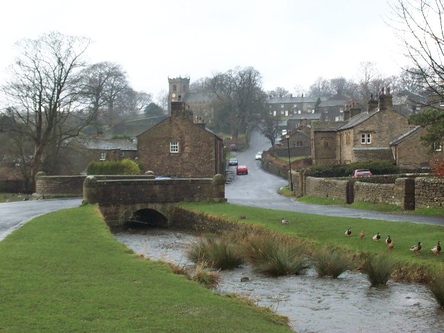
Downham is a small village located in the Ribble Valley district of Lancashire, England. Situated around 8 miles north-west of Clitheroe, it is nestled in the picturesque countryside of the Forest of Bowland Area of Outstanding Natural Beauty.
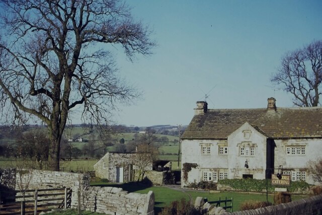
The village, with a population of just over 200, is known for its charming and traditional character. It is home to a collection of well-preserved stone cottages, many of which date back centuries, giving the area a distinct historical feel. The village also features a centuries-old church, St. Leonard's, which adds to its architectural appeal.
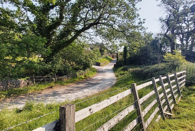
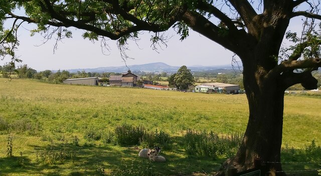
Downham is renowned for its stunning natural surroundings and attracts many visitors who come to explore the nearby Pendle Hill, which offers breathtaking views of the surrounding area. The village is also crossed by the River Ribble, providing opportunities for leisurely walks along its banks.
Despite its small size, Downham has a strong sense of community and offers amenities such as a village hall, a tearoom, and a pub, The Assheton Arms, which is popular with locals and visitors alike. The village is also known for its involvement in the arts, hosting events such as the Downham Artist Trail, which showcases the work of local artists.
Overall, Downham is a tranquil and idyllic village that appeals to those seeking a peaceful retreat in a picturesque rural setting. Its rich history, natural beauty, and friendly community make it a hidden gem in the heart of Lancashire.
If you have any feedback on the listing, please let us know in the comments section below.
Downham Images
Images are sourced within 2km of 53.893706/-2.3285176 or Grid Reference SD7844. Thanks to Geograph Open Source API. All images are credited.


Downham is located at Grid Ref: SD7844 (Lat: 53.893706, Lng: -2.3285176)
Administrative County: Lancashire
District: Ribble Valley
Police Authority: Lancashire
What 3 Words
///tributes.roughness.verifying. Near Chatburn, Lancashire
Nearby Locations
Related Wikis
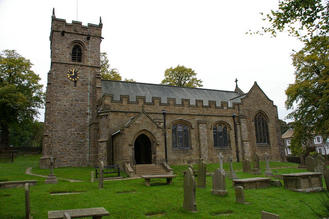
St Leonard's Church, Downham
St Leonard's Church is in the village of Downham, Lancashire, England. It is an active Anglican parish church in the diocese of Blackburn. The tower...
Downham, Lancashire
Downham is a village and civil parish in Lancashire, England. It is in the Ribble Valley district and at the United Kingdom 2001 census had a population...
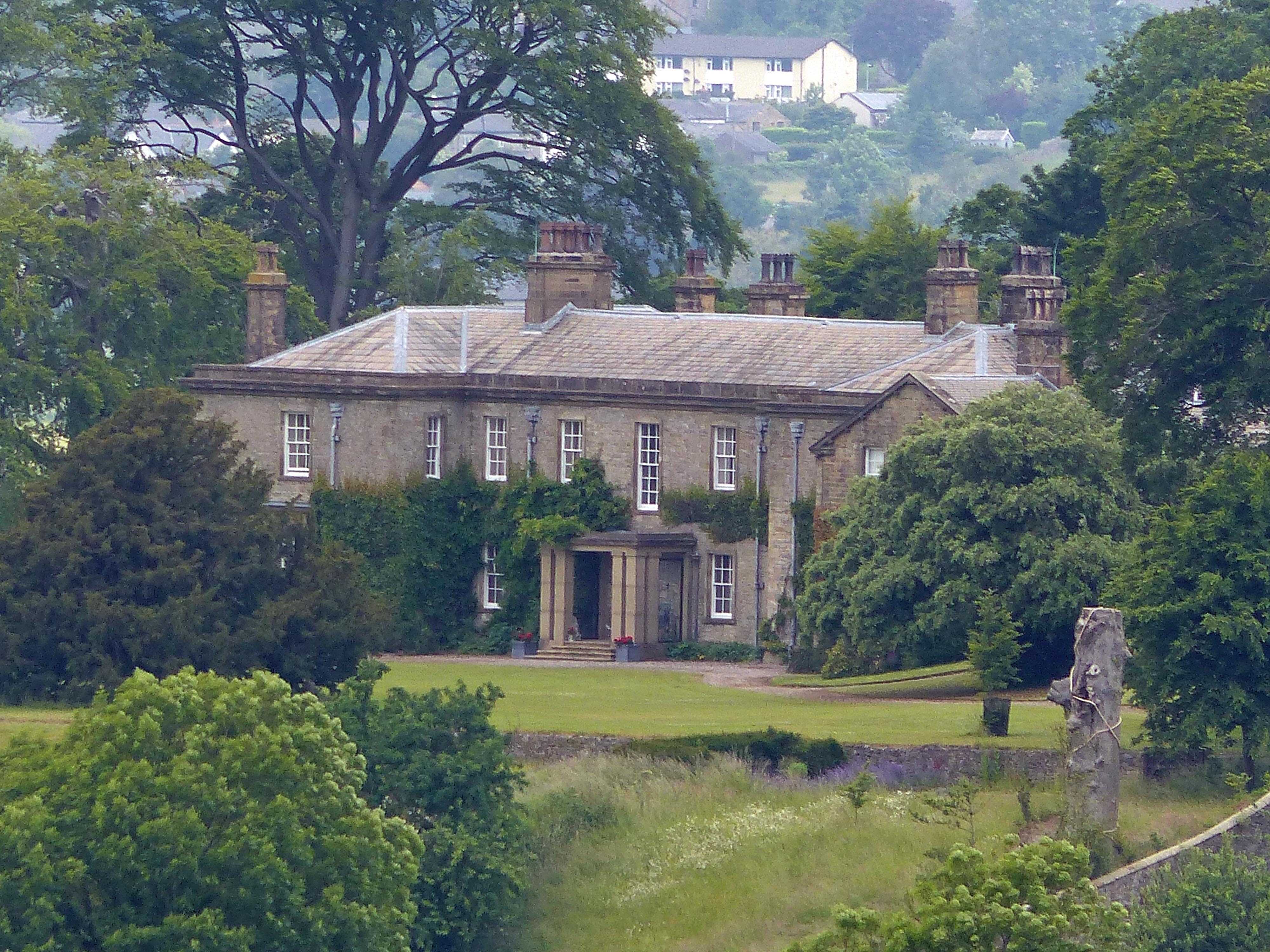
Downham Hall
Downham Hall is an English country house in Downham, Lancashire, England. == Overview == Downham Hall was designed by George Webster (1797–1864) in 1835...

Christ Church, Chatburn
Christ Church is in the village of Chatburn, Lancashire, England. It is an active Anglican parish church in the deanery of Whalley, the archdeaconry of...

Chatburn railway station
Chatburn railway station once served the small village of Chatburn in Lancashire, England. == History == The original single line opened in June 1850 and...

Chatburn
Chatburn is a village, civil parish and electoral ward in the Ribble Valley, East Lancashire, England. The population of the civil parish at the 2011 census...

Worston
Worston is a small linear village and civil parish in Lancashire, England. The village is north-west of Pendle Hill, east of Clitheroe, and is in the Ribble...
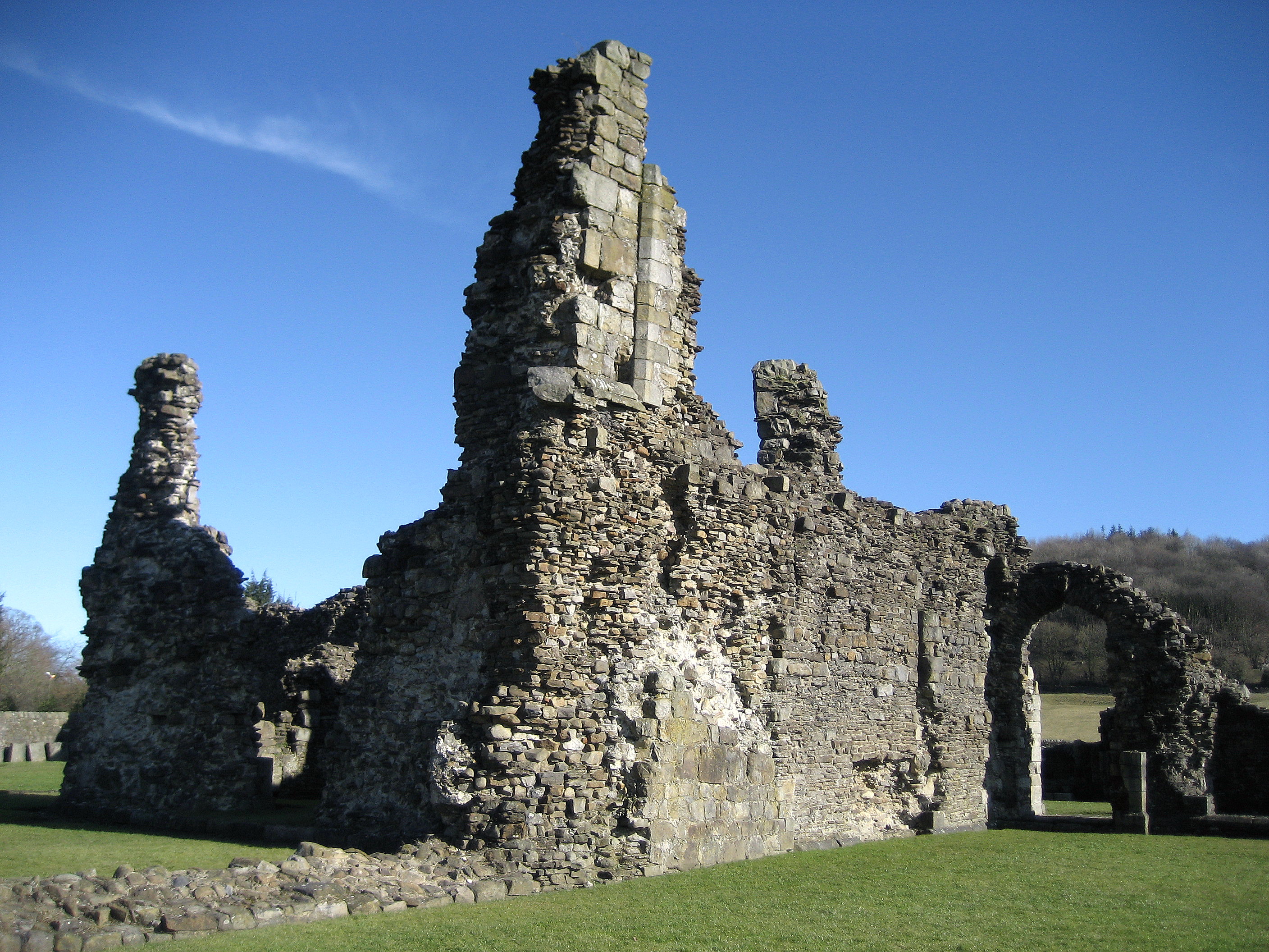
Sawley Abbey
Sawley Abbey was an abbey of Cistercian monks in the village of Sawley, Lancashire, in England (and historically in the West Riding of Yorkshire). Created...
Nearby Amenities
Located within 500m of 53.893706,-2.3285176Have you been to Downham?
Leave your review of Downham below (or comments, questions and feedback).