Town End Croft Wood
Wood, Forest in Lancashire Ribble Valley
England
Town End Croft Wood

Town End Croft Wood is a picturesque woodland located in Lancashire, England. Covering an area of approximately 50 acres, this enchanting forest is nestled in the heart of the countryside, offering visitors a peaceful and serene escape from the hustle and bustle of daily life.
The wood is predominantly made up of native tree species, including oak, birch, and beech, which create a diverse and vibrant ecosystem. This rich biodiversity provides a habitat for a variety of wildlife, such as deer, badgers, and numerous bird species. Nature enthusiasts and birdwatchers are often drawn to the wood to observe and appreciate the abundant wildlife.
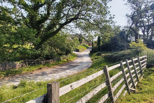
A network of well-maintained footpaths winds through the wood, allowing visitors to explore its beauty at their leisure. These paths provide an opportunity for hikers and nature lovers to immerse themselves in the natural surroundings while enjoying the fresh air and tranquility.
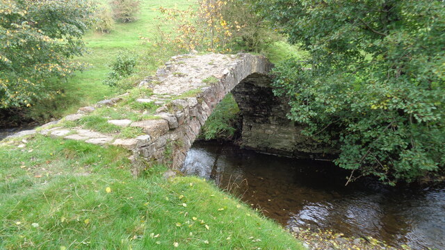
Town End Croft Wood is a popular destination for outdoor activities such as walking, picnicking, and photography. The wood's natural beauty is enhanced by the presence of a small stream that meanders through the trees, adding to the overall charm and appeal.
Visiting Town End Croft Wood is a sensory experience, with the scent of wildflowers and the sound of birdsong filling the air. The changing seasons bring a kaleidoscope of colors, from the vibrant greens of spring to the golden hues of autumn, making it a delightful place to visit year-round.
Overall, Town End Croft Wood is a hidden gem in Lancashire, offering visitors a chance to connect with nature and enjoy the beauty of the countryside.
If you have any feedback on the listing, please let us know in the comments section below.
Town End Croft Wood Images
Images are sourced within 2km of 53.896668/-2.3298952 or Grid Reference SD7844. Thanks to Geograph Open Source API. All images are credited.
![Sawley village and abbey [4] The ruins of some of the monk's accommodation.
Sawley is a small village on the banks of the River Ribble, some 3½ miles northeast of Clitheroe. The village is dominated by the ruins of the Cistercian abbey founded in 1148. The abbey was dissolved in 1536 and mostly demolished, the stone taken and reused in neighbouring farms and cottages. The ruins are now in the care of English Heritage. The abbey remains are listed, grade I, with details at: <span class="nowrap"><a title="https://historicengland.org.uk/listing/the-list/list-entry/1072099" rel="nofollow ugc noopener" href="https://historicengland.org.uk/listing/the-list/list-entry/1072099">Link</a><img style="margin-left:2px;" alt="External link" title="External link - shift click to open in new window" src="https://s1.geograph.org.uk/img/external.png" width="10" height="10"/></span> The site is a Scheduled Ancient Monument with much detail at: <span class="nowrap"><a title="https://historicengland.org.uk/listing/the-list/list-entry/1015492" rel="nofollow ugc noopener" href="https://historicengland.org.uk/listing/the-list/list-entry/1015492">Link</a><img style="margin-left:2px;" alt="External link" title="External link - shift click to open in new window" src="https://s1.geograph.org.uk/img/external.png" width="10" height="10"/></span>](https://s0.geograph.org.uk/geophotos/07/02/65/7026516_b62c5d29.jpg)
![Sawley village and abbey [8] This delightful former school, which closed in 1976, is now the village hall.
Sawley is a small village on the banks of the River Ribble, some 3½ miles northeast of Clitheroe. The village is dominated by the ruins of the Cistercian abbey founded in 1148. The abbey was dissolved in 1536 and mostly demolished, the stone taken and reused in neighbouring farms and cottages. The ruins are now in the care of English Heritage.](https://s3.geograph.org.uk/geophotos/07/02/65/7026539_8fb6ee9f.jpg)

![Sawley village and abbey [9] A row of houses in rubble stone under a stone slate roof.
Sawley is a small village on the banks of the River Ribble, some 3½ miles northeast of Clitheroe. The village is dominated by the ruins of the Cistercian abbey founded in 1148. The abbey was dissolved in 1536 and mostly demolished, the stone taken and reused in neighbouring farms and cottages. The ruins are now in the care of English Heritage.](https://s0.geograph.org.uk/geophotos/07/02/65/7026548_2fc290cc.jpg)


Town End Croft Wood is located at Grid Ref: SD7844 (Lat: 53.896668, Lng: -2.3298952)
Administrative County: Lancashire
District: Ribble Valley
Police Authority: Lancashire
What 3 Words
///retrain.foot.decorated. Near Chatburn, Lancashire
Nearby Locations
Related Wikis
St Leonard's Church, Downham
St Leonard's Church is in the village of Downham, Lancashire, England. It is an active Anglican parish church in the diocese of Blackburn. The tower...
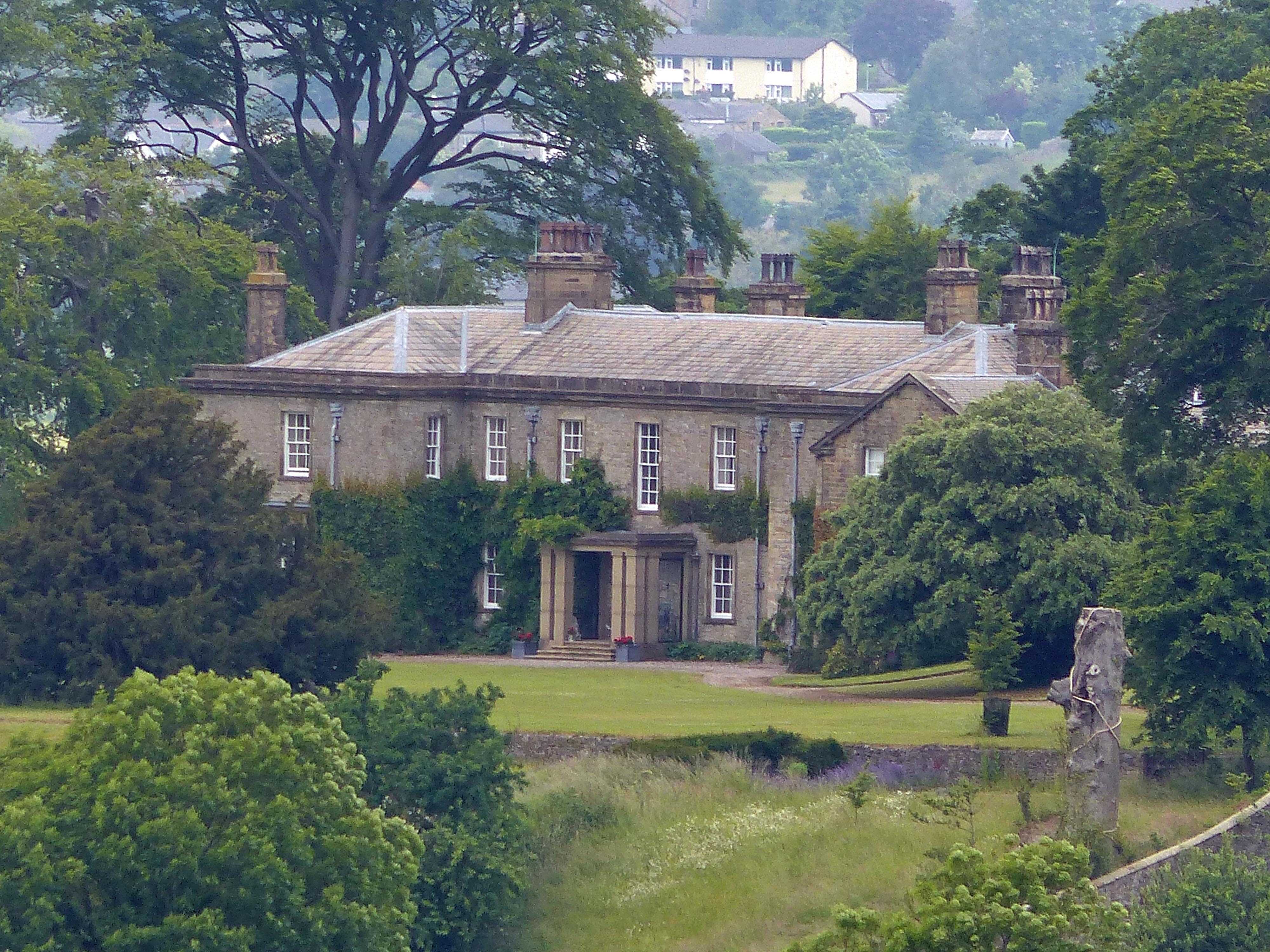
Downham Hall
Downham Hall is an English country house in Downham, Lancashire, England. == Overview == Downham Hall was designed by George Webster (1797–1864) in 1835...
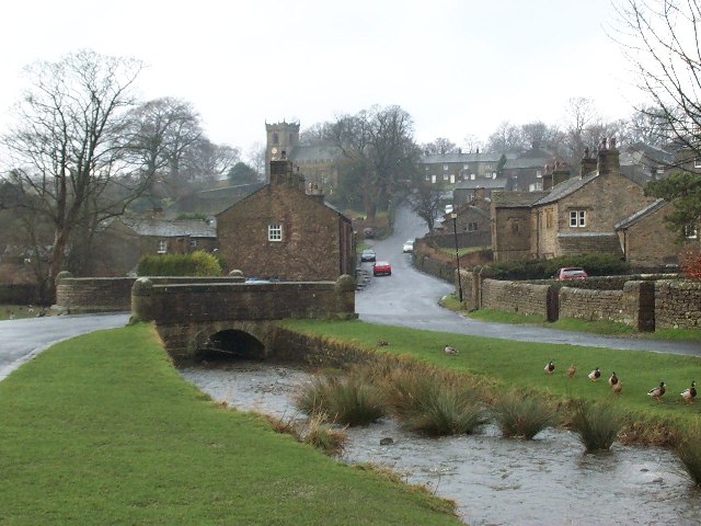
Downham, Lancashire
Downham is a village and civil parish in Lancashire, England. It is in the Ribble Valley district and at the United Kingdom 2001 census had a population...

Christ Church, Chatburn
Christ Church is in the village of Chatburn, Lancashire, England. It is an active Anglican parish church in the deanery of Whalley, the archdeaconry of...

Chatburn
Chatburn is a village, civil parish and electoral ward in the Ribble Valley, East Lancashire, England. The population of the civil parish at the 2011 census...

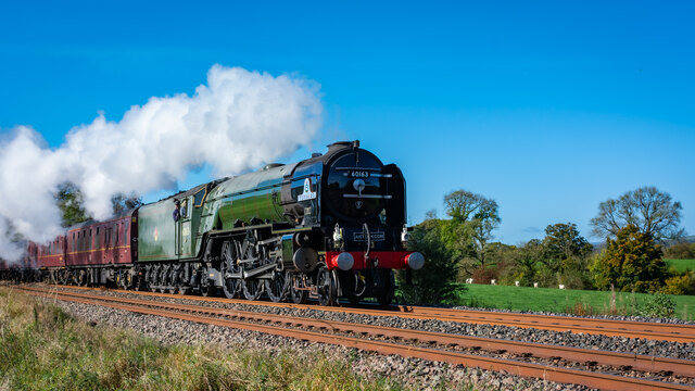
Chatburn railway station
Chatburn railway station once served the small village of Chatburn in Lancashire, England. == History == The original single line opened in June 1850 and...
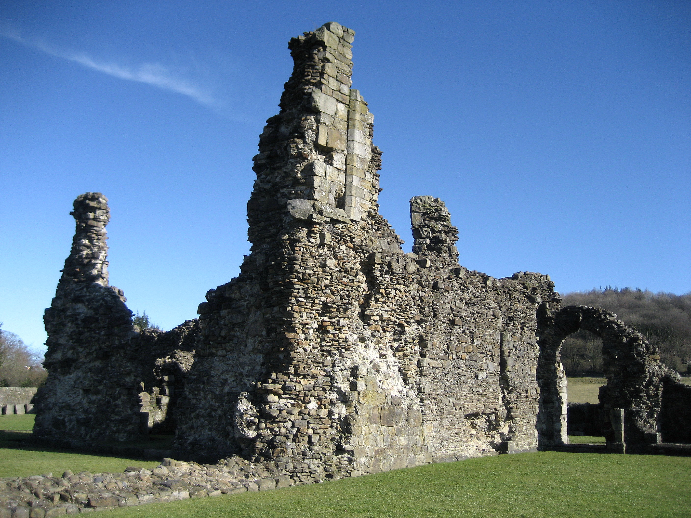
Sawley Abbey
Sawley Abbey was an abbey of Cistercian monks in the village of Sawley, Lancashire, in England (and historically in the West Riding of Yorkshire). Created...

Sawley, Lancashire
Sawley is a village and civil parish in the Borough of Ribble Valley in Lancashire, England. The population of the civil parish was 305 at the 2001 Census...
Nearby Amenities
Located within 500m of 53.896668,-2.3298952Have you been to Town End Croft Wood?
Leave your review of Town End Croft Wood below (or comments, questions and feedback).