Hall Royds Wood
Wood, Forest in Lancashire Ribble Valley
England
Hall Royds Wood

Hall Royds Wood is a picturesque woodland located in Lancashire, England. Spanning an area of approximately 50 acres, it is a popular destination for nature lovers and outdoor enthusiasts. The woodland is situated near the village of Holcombe and offers a tranquil retreat away from the hustle and bustle of urban life.
Hall Royds Wood is characterized by its diverse range of tree species, including oak, birch, and beech trees. The dense canopy provides a sheltered habitat for a variety of wildlife, such as squirrels, badgers, and an array of bird species. Nature enthusiasts can enjoy birdwatching and spotting other woodland creatures in their natural habitat.
The woodland is crisscrossed by a network of well-maintained footpaths, making it easily accessible and perfect for walking or hiking. The paths wind through the wood, taking visitors on a journey through its enchanting beauty. The wood is particularly stunning in the spring, when the forest floor becomes carpeted with bluebells and wildflowers, creating a vibrant display of colors.
In addition to its natural beauty, Hall Royds Wood also has historical significance. The wood is believed to have been part of the estate of the local Hall Royds House, which dates back to the 17th century. The remnants of old walls and structures can still be seen within the woodland, adding to its charm and providing a glimpse into its past.
Overall, Hall Royds Wood is a captivating woodland that offers a peaceful escape for nature lovers and history enthusiasts alike. Its stunning scenery, diverse wildlife, and historical significance make it a must-visit destination in Lancashire.
If you have any feedback on the listing, please let us know in the comments section below.
Hall Royds Wood Images
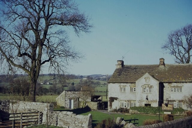
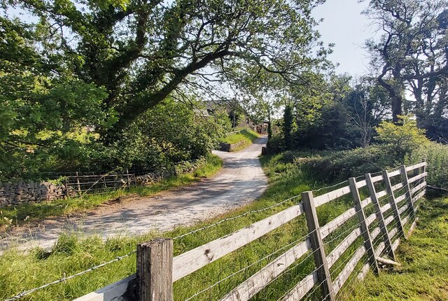
Images are sourced within 2km of 53.897499/-2.3216841 or Grid Reference SD7844. Thanks to Geograph Open Source API. All images are credited.


Hall Royds Wood is located at Grid Ref: SD7844 (Lat: 53.897499, Lng: -2.3216841)
Administrative County: Lancashire
District: Ribble Valley
Police Authority: Lancashire
What 3 Words
///slam.repaying.verifying. Near Chatburn, Lancashire
Nearby Locations
Related Wikis
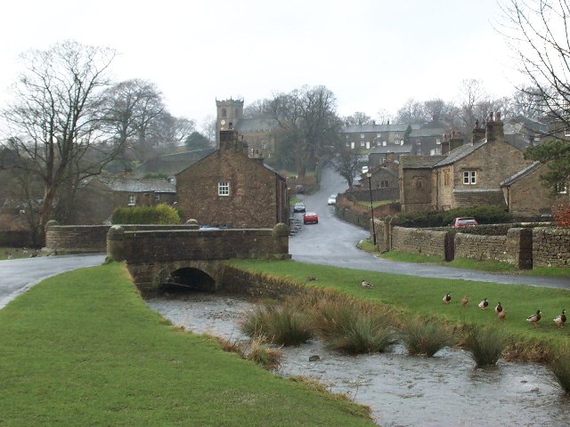
Downham, Lancashire
Downham is a village and civil parish in Lancashire, England. It is in the Ribble Valley district and at the United Kingdom 2001 census had a population...
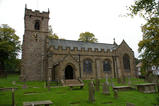
St Leonard's Church, Downham
St Leonard's Church is in the village of Downham, Lancashire, England. It is an active Anglican parish church in the diocese of Blackburn. The tower...
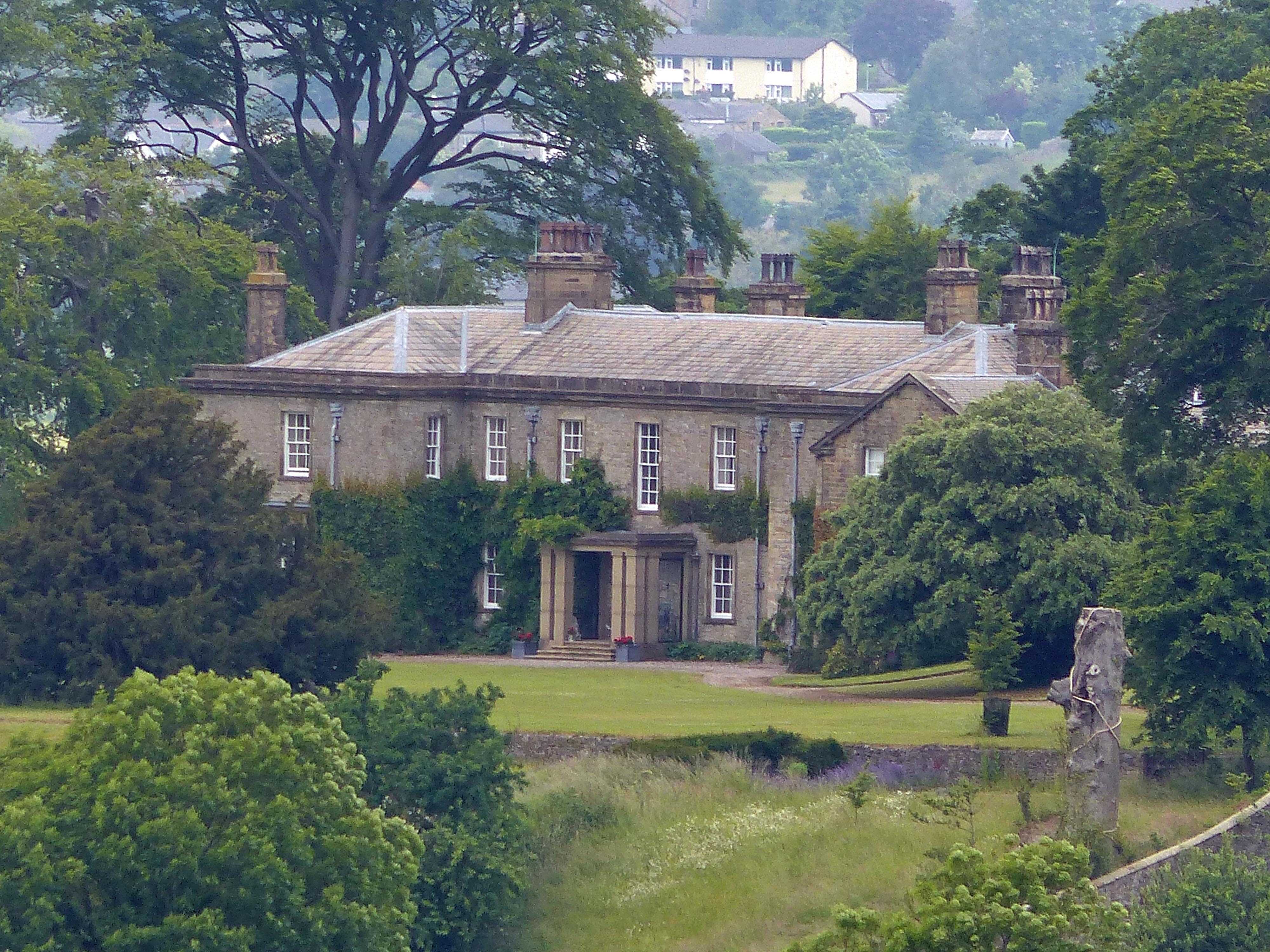
Downham Hall
Downham Hall is an English country house in Downham, Lancashire, England. == Overview == Downham Hall was designed by George Webster (1797–1864) in 1835...

Rimington railway station
Rimington railway station was a railway station that served the small village of Rimington in Lancashire. It was built by the Lancashire and Yorkshire...

Christ Church, Chatburn
Christ Church is in the village of Chatburn, Lancashire, England. It is an active Anglican parish church in the deanery of Whalley, the archdeaconry of...

Rimington
Rimington is a rural village and civil parish in the Ribble Valley, Lancashire, England. The population of the civil parish was 382 at the 2001 Census...
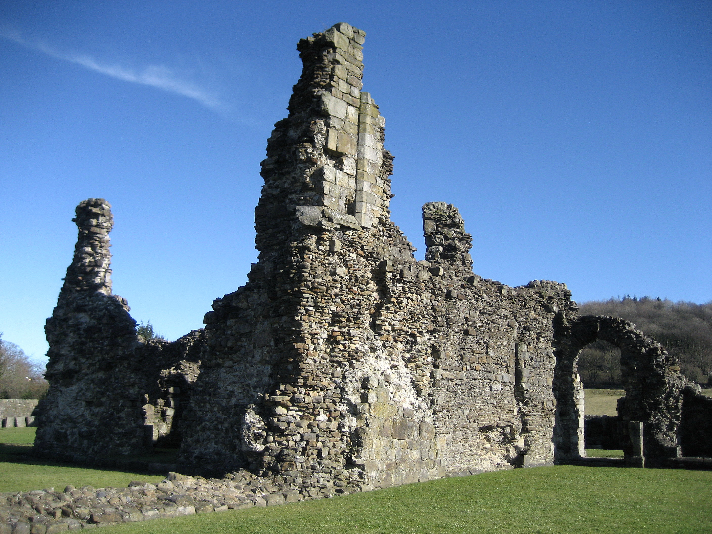
Sawley Abbey
Sawley Abbey was an abbey of Cistercian monks in the village of Sawley, Lancashire, in England (and historically in the West Riding of Yorkshire). Created...

Sawley, Lancashire
Sawley is a village and civil parish in the Borough of Ribble Valley in Lancashire, England. The population of the civil parish was 305 at the 2001 Census...
Nearby Amenities
Located within 500m of 53.897499,-2.3216841Have you been to Hall Royds Wood?
Leave your review of Hall Royds Wood below (or comments, questions and feedback).