Hall Meadow Wood
Wood, Forest in Lancashire Ribble Valley
England
Hall Meadow Wood

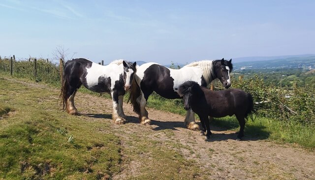
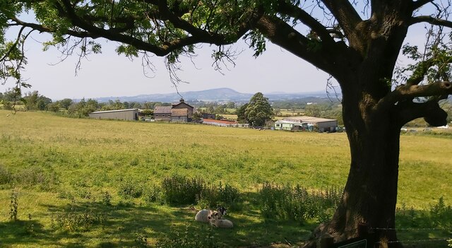
Hall Meadow Wood is a picturesque woodland located in Lancashire, England. Covering an area of approximately 50 acres, this tranquil forest offers a peaceful retreat for nature lovers and outdoor enthusiasts alike. With its diverse range of flora and fauna, Hall Meadow Wood is a haven for wildlife and provides a valuable habitat for many species.
The wood is predominantly composed of broadleaf trees such as oak, beech, and birch, which create a dense canopy overhead, providing shade and shelter for the woodland floor below. This lush undergrowth is home to a variety of wildflowers, ferns, and mosses, adding to the beauty and biodiversity of the area.
Tranquil streams and small ponds can be found scattered throughout the woodland, attracting an array of aquatic creatures and providing a source of water for the resident wildlife. These water features also contribute to the overall serenity of the wood, creating a soothing ambiance for visitors.
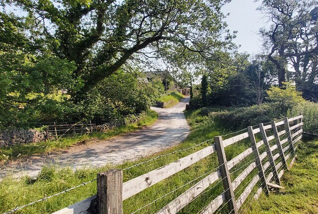
Hall Meadow Wood offers a network of well-maintained footpaths and trails, allowing visitors to explore the forest at their own pace. These paths wind their way through the woodland, offering glimpses of hidden clearings, ancient trees, and peaceful glades. The wood is also a popular spot for birdwatching, with a variety of bird species, including woodpeckers, owls, and thrushes, making their homes in the trees.
With its natural beauty and tranquil atmosphere, Hall Meadow Wood is an idyllic destination for those seeking a peaceful escape from the hustle and bustle of everyday life. Whether it's a leisurely stroll, a picnic in nature, or a chance to spot some wildlife, this Lancashire woodland offers something for everyone.
If you have any feedback on the listing, please let us know in the comments section below.
Hall Meadow Wood Images
Images are sourced within 2km of 53.89371/-2.3333717 or Grid Reference SD7844. Thanks to Geograph Open Source API. All images are credited.


Hall Meadow Wood is located at Grid Ref: SD7844 (Lat: 53.89371, Lng: -2.3333717)
Administrative County: Lancashire
District: Ribble Valley
Police Authority: Lancashire
What 3 Words
///investor.fairy.domain. Near Chatburn, Lancashire
Nearby Locations
Related Wikis
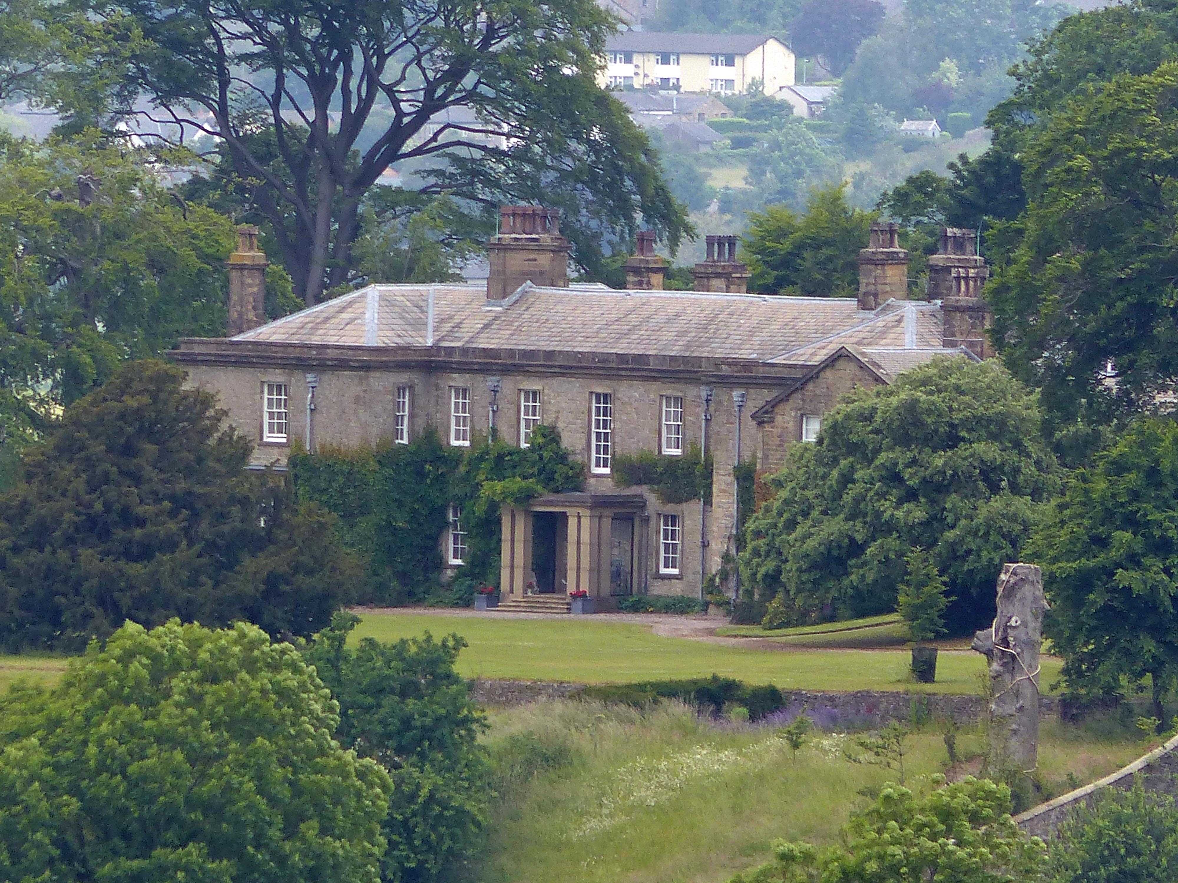
Downham Hall
Downham Hall is an English country house in Downham, Lancashire, England. == Overview == Downham Hall was designed by George Webster (1797–1864) in 1835...
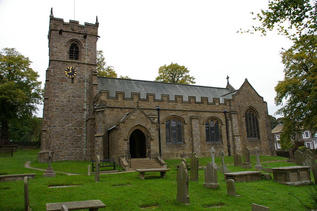
St Leonard's Church, Downham
St Leonard's Church is in the village of Downham, Lancashire, England. It is an active Anglican parish church in the diocese of Blackburn. The tower...
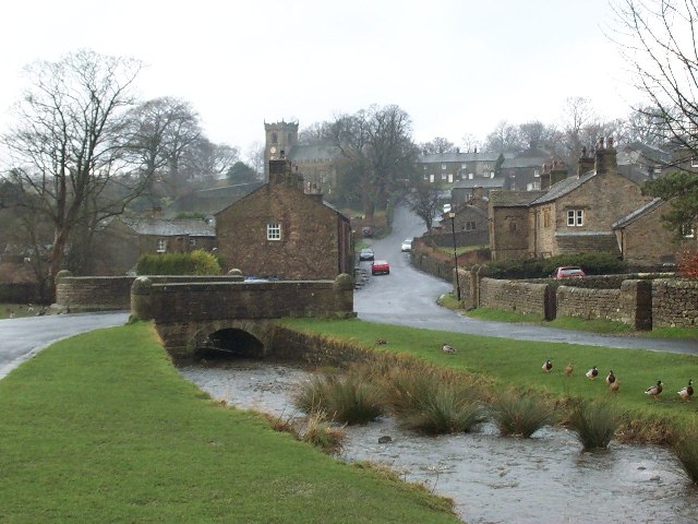
Downham, Lancashire
Downham is a village and civil parish in Lancashire, England. It is in the Ribble Valley district and at the United Kingdom 2001 census had a population...

Christ Church, Chatburn
Christ Church is in the village of Chatburn, Lancashire, England. It is an active Anglican parish church in the deanery of Whalley, the archdeaconry of...

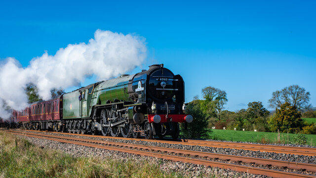
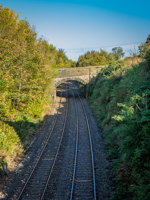
Chatburn railway station
Chatburn railway station once served the small village of Chatburn in Lancashire, England. == History == The original single line opened in June 1850 and...

Chatburn
Chatburn is a village, civil parish and electoral ward in the Ribble Valley, East Lancashire, England. The population of the civil parish at the 2011 census...

Worston
Worston is a small linear village and civil parish in Lancashire, England. The village is north-west of Pendle Hill, east of Clitheroe, and is in the Ribble...
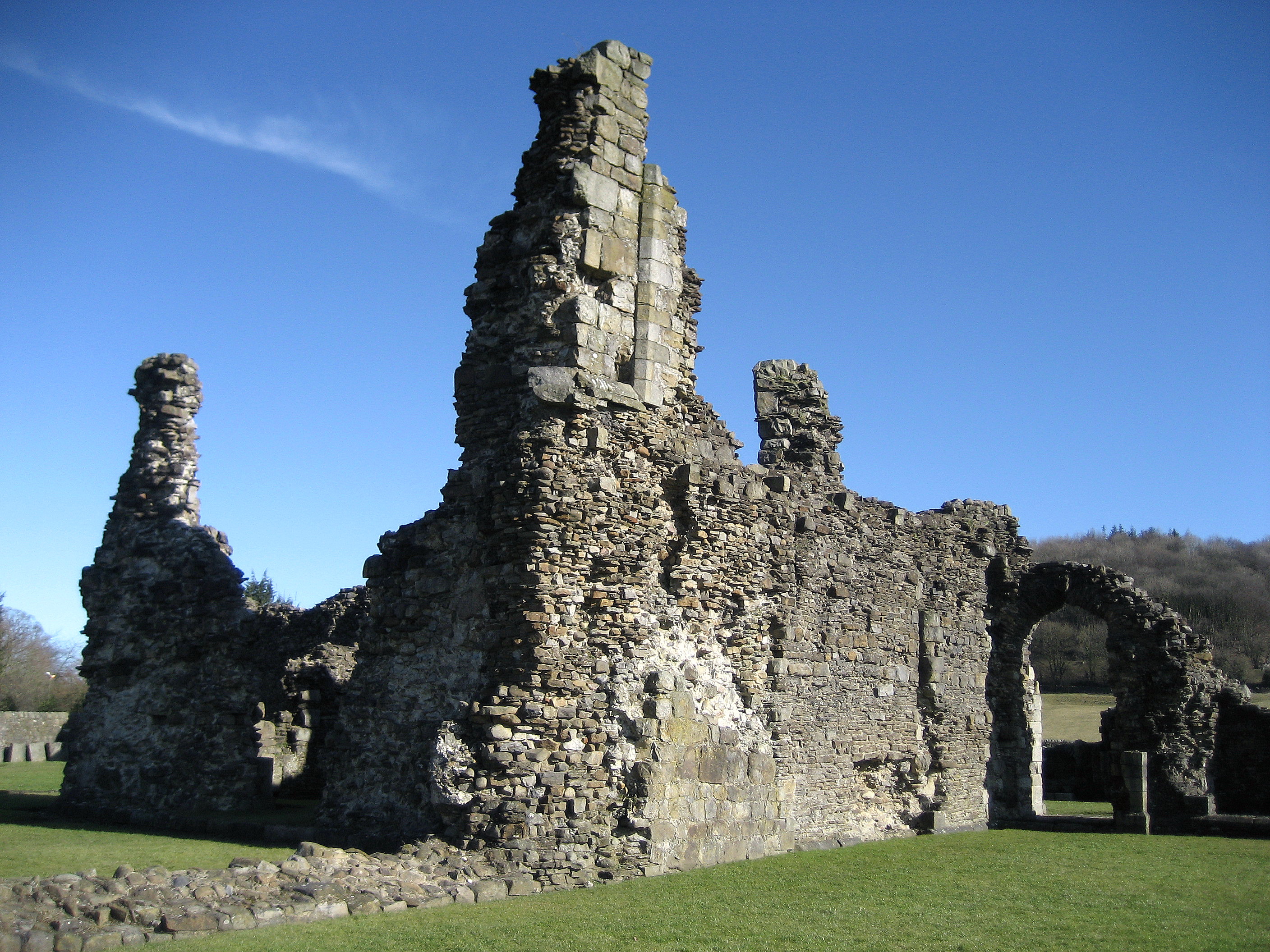
Sawley Abbey
Sawley Abbey was an abbey of Cistercian monks in the village of Sawley, Lancashire, in England (and historically in the West Riding of Yorkshire). Created...
Nearby Amenities
Located within 500m of 53.89371,-2.3333717Have you been to Hall Meadow Wood?
Leave your review of Hall Meadow Wood below (or comments, questions and feedback).