Downham
Settlement in Kent
England
Downham

Downham is a charming village located in the county of Kent, England. Situated on the edge of the Kent Downs, an Area of Outstanding Natural Beauty, it offers breathtaking views of the surrounding countryside. The village is part of the civil parish of Downham and is located approximately 5 miles southwest of the town of Bromley.
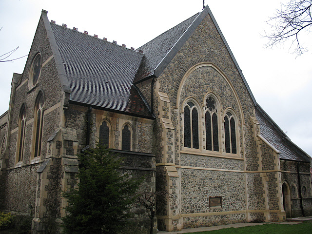
Known for its picturesque setting, Downham boasts a range of traditional architecture, with many of its buildings dating back to the 18th and 19th centuries. The village center features a delightful village green, which is a focal point for community events and gatherings. The green is surrounded by well-preserved cottages, adding to the village's timeless charm.
Downham is also home to the famous Downham Estate, a residential development designed by noted architect Sir Edwin Lutyens in the early 20th century. The estate's unique architecture and well-manicured gardens make it a popular attraction for visitors.
Nature enthusiasts will find plenty to explore in the area surrounding Downham. The village is located near several beautiful walking trails, including the London Loop and the Downe Circular Walk. These routes offer opportunities to discover the diverse flora and fauna of the Kent Downs, making it a haven for hikers and wildlife lovers alike.
Although a peaceful and rural village, Downham offers convenient access to amenities and services. The nearby town of Bromley provides a wide range of shops, restaurants, and leisure facilities, ensuring residents have everything they need within easy reach.
Overall, Downham is a quintessential English village that combines natural beauty, historical charm, and modern convenience, making it an idyllic place to live or visit.
If you have any feedback on the listing, please let us know in the comments section below.
Downham Images
Images are sourced within 2km of 51.423568/0.000715 or Grid Reference TQ3971. Thanks to Geograph Open Source API. All images are credited.


Downham is located at Grid Ref: TQ3971 (Lat: 51.423568, Lng: 0.000715)
Unitary Authority: Lewisham
Police Authority: Metropolitan
What 3 Words
///tigers.flock.text. Near Bromley, London
Nearby Locations
Related Wikis

Bonus Pastor Catholic College
Bonus Pastor Catholic College is a voluntary aided, Roman Catholic coeducational school for 900 pupils. The school was founded by the Catholic Church...

Downham, London
Downham is a district of south-east London, England, within the London Borough of Lewisham. It borders the London Borough of Bromley, and is located north...

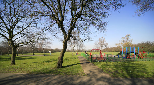
Downham Fields
Downham Fields is a 20-acre park located in Downham, South East London. It is sometimes referred to in documents by the name Durham Hill, but this is not...
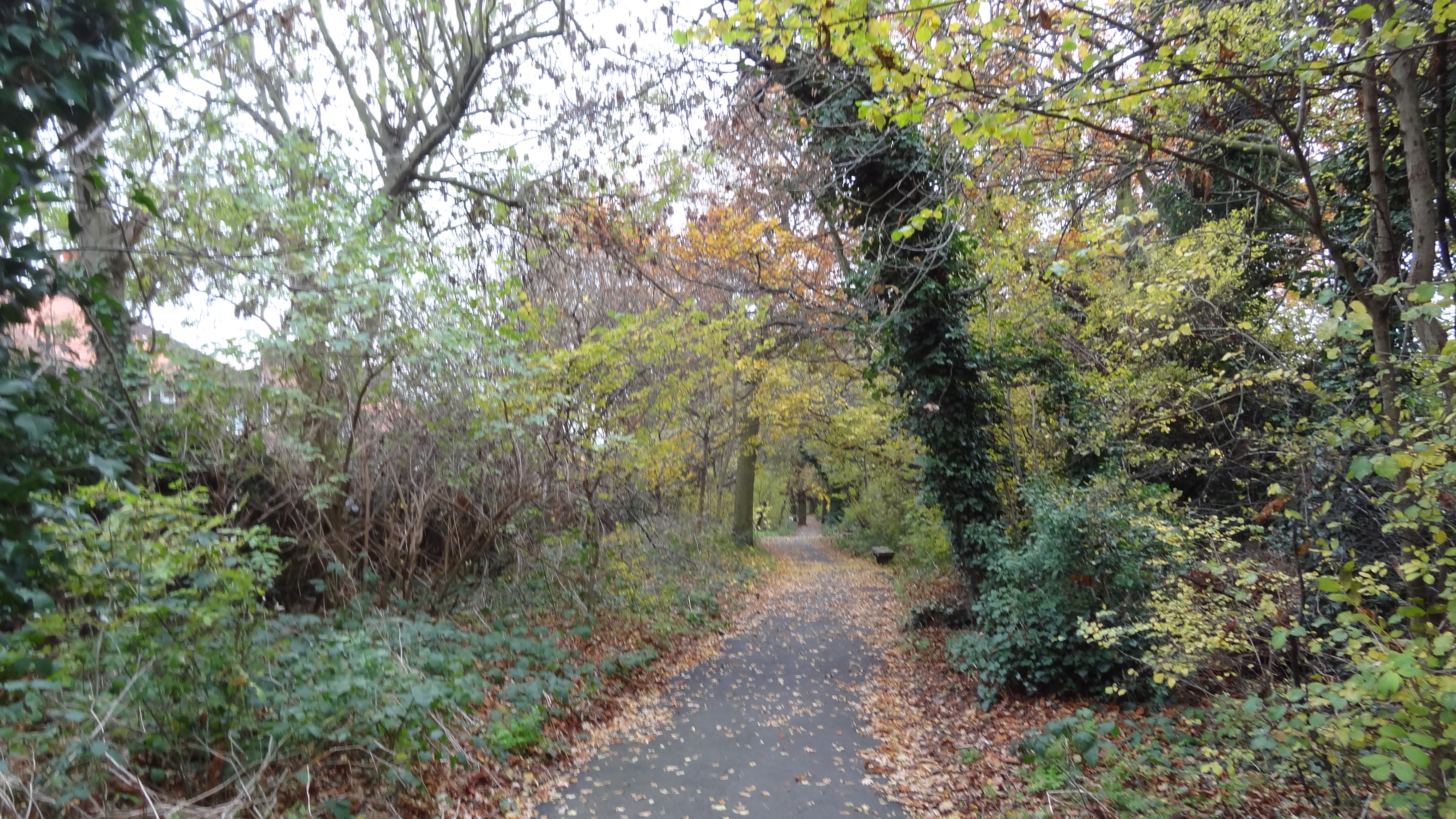
Downham Woodland Walk
Downham Woodland Walk is a linear park and local nature reserve in Downham in the London Borough of Lewisham. It is also a Site of Borough Importance for...
Forster Memorial Park
Forster Memorial Park, is a public park in London Borough of Lewisham. It takes up the land between Bellingham Road and Whitefoot Lane, Catford – the park...
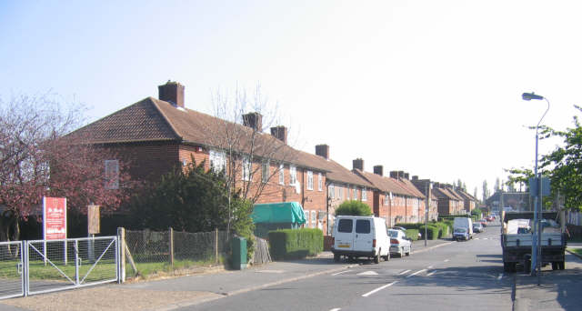
Downham Estate
The Downham Estate is a London County Council cottage estate in Downham, south east London. It is mainly in the London Borough of Lewisham and partly in...
Catford Studios
Catford Studios was a British film studio located in Southend, London, just southeast of Catford in Southeast London which operated from 1914 to 1921....

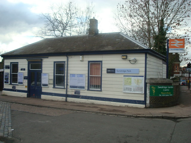
Beckenham Hill railway station
Beckenham Hill railway station is in the London Borough of Lewisham in south London, very close to the border with Bromley. It is 9 miles 45 chains (15...
Nearby Amenities
Located within 500m of 51.423568,0.000715Have you been to Downham?
Leave your review of Downham below (or comments, questions and feedback).