Abbot's Rough

Wood, Forest in Derbyshire Amber Valley

England

Abbot's Rough

The Bateman Arms
The Bateman Arms Credit: Ian Calderwood

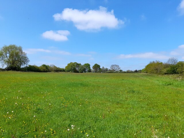
Abbot's Rough is a picturesque woodland located in Derbyshire, England. Covering an area of approximately 500 acres, it is known for its dense forest and natural beauty. The woodland is situated near the village of Abbot's Hollow and is a popular destination for nature enthusiasts and hikers.

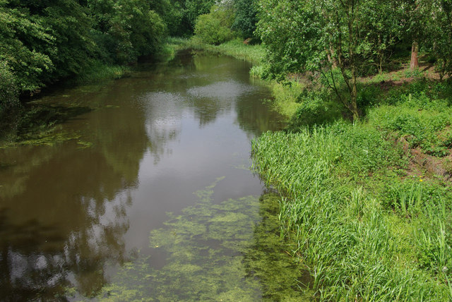
The forest is predominantly made up of deciduous trees, including oak, beech, and birch, which create a stunning canopy during the summer months. The woodland floor is covered in a blanket of wildflowers, making it a haven for various species of birds, insects, and small mammals.

Abbot's Rough is well-known for its diverse wildlife, with sightings of deer, foxes, badgers, and rabbits being common. The forest is also home to several bird species, including woodpeckers, owls, and various songbirds. Birdwatchers often visit the area to catch a glimpse of these beautiful creatures.

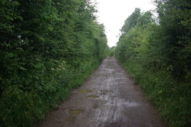
The woodland offers a network of well-maintained walking trails, allowing visitors to explore its natural wonders. These trails cater to different levels of difficulty, ranging from easy strolls to more challenging hikes. Along the way, hikers can enjoy breathtaking views of the surrounding countryside, including rolling hills and meandering streams.

Abbot's Rough is a serene and tranquil place, providing an escape from the hustle and bustle of everyday life. It offers a unique opportunity to connect with nature, breathe in the fresh air, and appreciate the beauty of Derbyshire's natural landscape.

If you have any feedback on the listing, please let us know in the comments section below.

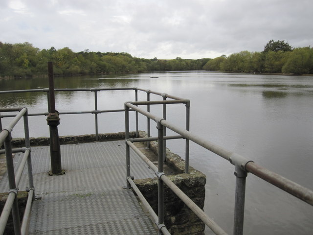
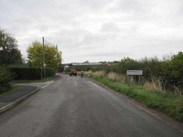
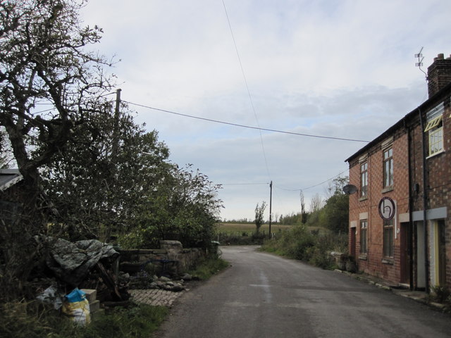
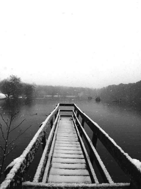
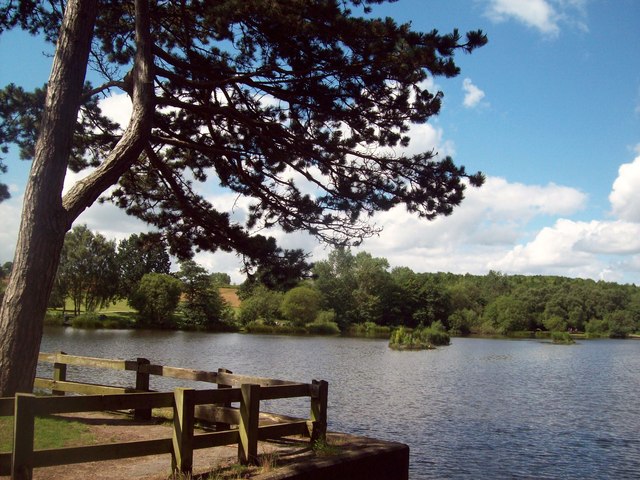
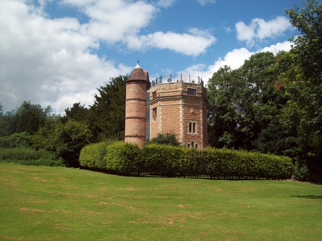
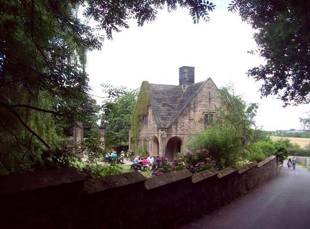
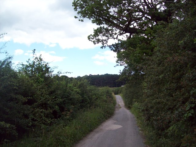
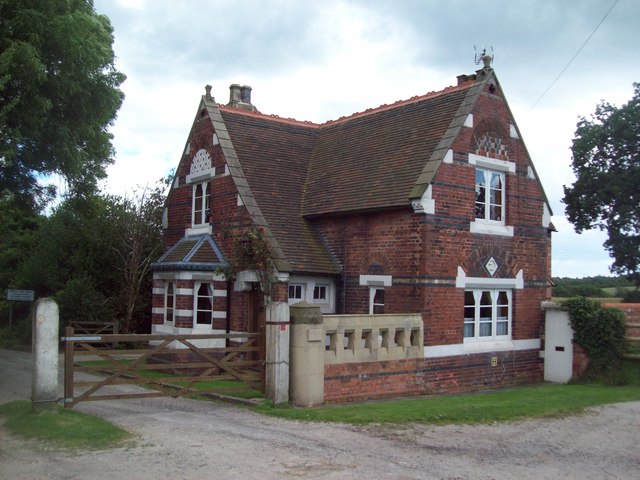
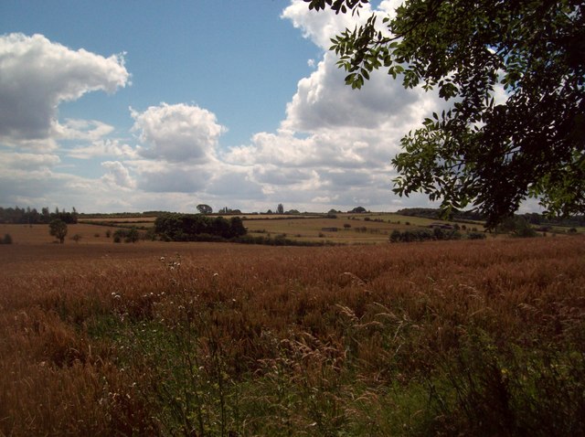
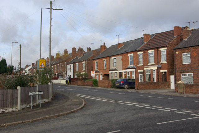
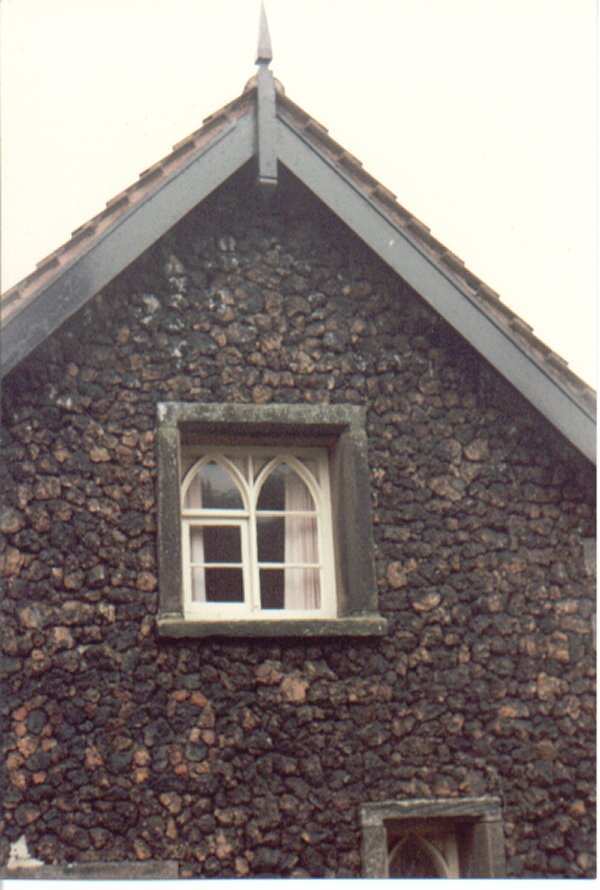
Abbot's Rough Images

Images are sourced within 2km of 52.990931/-1.3710971 or Grid Reference SK4243. Thanks to Geograph Open Source API. All images are credited.

The Bateman Arms
The Bateman Arms
Footpath between the fences The start of an old field path now straightened and hemmed in between garden fences.
Footpath between the fences
The start of an old field path now straightened and hemmed in between garden fences.
338 Top Club Stanley Common Ex-Service & Workmen's Club
338 Top Club
Stanley Common Ex-Service & Workmen's Club
The Fallow Field Literally just an empty field, "Solely for the purpose of recreation", managed by Stanley & Stanley Common Parish Council.
The Fallow Field
Literally just an empty field, "Solely for the purpose of recreation", managed by Stanley & Stanley Common Parish Council.
Mapperley Reservoir
Mapperley Reservoir
Approaching Mapperley Village Note the cow and her calf being led down the lane to the farm.
Approaching Mapperley Village
Note the cow and her calf being led down the lane to the farm.
Approaching sharp bend on Park Hall Lane
Osborne's Pond Shipley Country Park View from bridge looking out onto Osborne's Pond on a snowy afternoon in Shipley Country Park.
Osborne's Pond Shipley Country Park
View from bridge looking out onto Osborne's Pond on a snowy afternoon in Shipley Country Park.
The Missile roller coaster (1990) At the American Adventure theme park. The park opened in 1987 on the site of a former open cast mine and closed in 2007. It is now a country park (Shipley Lakeside) but is up for sale for development.
The Missile roller coaster (1990)
At the American Adventure theme park. The park opened in 1987 on the site of a former open cast mine and closed in 2007. It is now a country park (Shipley Lakeside) but is up for sale for development.
Smalley Dam At the end of the 18th century John Redford of Smalley Hall built a dam on Bell lane creating this pond. Although it became silted up in the 20th century, it has now been restored created a delightful and rather secluded spot.
Smalley Dam
At the end of the 18th century John Redford of Smalley Hall built a dam on Bell lane creating this pond. Although it became silted up in the 20th century, it has now been restored created a delightful and rather secluded spot.
Main Road, Smalley Smalley advertises its summer fete to motorists passing through on the A608 Derby - Heanor road.
Main Road, Smalley
Smalley advertises its summer fete to motorists passing through on the A608 Derby - Heanor road.
Bell Lane, Smalley Seen here in pouring rain, Bell Lane is just a track whose name derives from the 'bell-pits' used for mining coal that were once common in this area.
Bell Lane, Smalley
Seen here in pouring rain, Bell Lane is just a track whose name derives from the 'bell-pits' used for mining coal that were once common in this area.
Scots Pine in Shipley Country Park Seen here overlooking Osborne's Pond on a fine Saturday in late July.
Scots Pine in Shipley Country Park
Seen here overlooking Osborne's Pond on a fine Saturday in late July.
Converted Water Tower in Shipley Country Park Another picture of this unusual structure which is now a private dwelling.
Converted Water Tower in Shipley Country Park
Another picture of this unusual structure which is now a private dwelling.
Derby Lodge in Shipley Country Park Former lodge at the northern end of the Shipley Country Park now operating as a tearoom.
Derby Lodge in Shipley Country Park
Former lodge at the northern end of the Shipley Country Park now operating as a tearoom.
Bell Lane Approaching Manchester Wood Bridleway pictured here looking west in the direction of Smalley.
Bell Lane Approaching Manchester Wood
Bridleway pictured here looking west in the direction of Smalley.
Smalley Lodge Decorative gatehouse situated on Bell Lane at the edge to the former Shipley estate. The crest of the Miller-Mundy family of Shipley Hall can be seen above the right ground floor window and the building itself is Grade II listed  <span class="nowrap"><a title="http://www.britishlistedbuildings.co.uk/en-78831-smalley-lodge-smalley" rel="nofollow ugc noopener" href="http://www.britishlistedbuildings.co.uk/en-78831-smalley-lodge-smalley">Link</a><img style="margin-left:2px;" alt="External link" title="External link - shift click to open in new window" src="https://s1.geograph.org.uk/img/external.png" width="10" height="10"/></span>
Smalley Lodge
Decorative gatehouse situated on Bell Lane at the edge to the former Shipley estate. The crest of the Miller-Mundy family of Shipley Hall can be seen above the right ground floor window and the building itself is Grade II listed LinkExternal link
Crop Fields near Smalley This picture was taken from a footpath close to Bell Lane just south of the village.
Crop Fields near Smalley
This picture was taken from a footpath close to Bell Lane just south of the village.
Show me another place!

Abbot's Rough is located at Grid Ref: SK4243 (Lat: 52.990931, Lng: -1.3710971)

Administrative County: Derbyshire

District: Amber Valley

Police Authority: Derbyshire

What 3 Words

///opera.sparkles.gazette. Near West Hallam, Derbyshire

Related Wikis

Nearby Amenities

Located within 500m of 52.990931,-1.3710971
Bench
Ele: 113.5606689
Lat/Long: 52.9926933/-1.3779286
Barrier: stile
Steps: 1
Stile: stepover
Lat/Long: 52.9864724/-1.3717113
The data included in this document is from www.openstreetmap.org. The data is made available under ODbL.

Have you been to Abbot's Rough?

Leave your review of Abbot's Rough below (or comments, questions and feedback).