Mapperley Park

Downs, Moorland in Derbyshire Amber Valley

England

Mapperley Park

New houses on the site of the White Hart Since <a href="https://www.geograph.org.uk/photo/3318251">SK4241 : White Hart, West Hallam Common</a> was taken in 2013, the planned refurbishment of the pub has turned into demolition and replacement by houses.
New houses on the site of the White Hart Credit: Ian Calderwood

Mapperley Park is a picturesque area located in Derbyshire, England. Situated amidst rolling hills and stunning moorland, the park offers visitors a tranquil retreat from the bustling city life. Covering an expansive area, it is a haven for nature enthusiasts and outdoor lovers.

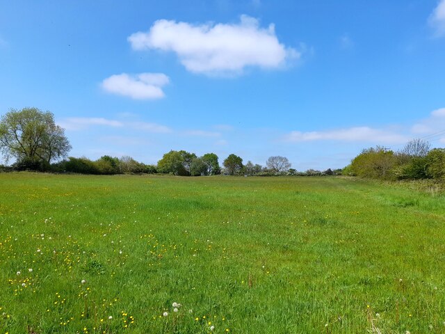
The park is known for its diverse landscapes, featuring verdant downs and vast stretches of moorland. The downs are characterized by their undulating hills covered in lush green grass, providing a perfect setting for leisurely walks and picnics. Visitors can enjoy breathtaking panoramic views of the surrounding countryside from the elevated vantage points.

The moorland, on the other hand, offers a more rugged and wild experience. Dotted with heather and gorse, it presents a unique opportunity to explore the untamed beauty of Derbyshire. Hiking trails meander through the moorland, allowing visitors to immerse themselves in the natural wonders of the area.

The park is also home to a variety of wildlife, including rabbits, deer, and numerous bird species. Birdwatchers can spot birds of prey soaring through the skies or hear the melodic songs of smaller birds nestled in the trees.

For those seeking a peaceful retreat, Mapperley Park offers a sense of serenity and tranquility. Its natural beauty, combined with its varied landscapes, makes it a sought-after destination for individuals and families alike. Whether it is enjoying a leisurely stroll, embarking on an adventurous hike, or simply basking in the beauty of nature, Mapperley Park provides an idyllic escape from the pressures of everyday life.

If you have any feedback on the listing, please let us know in the comments section below.

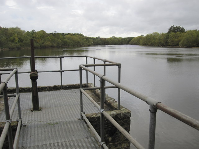
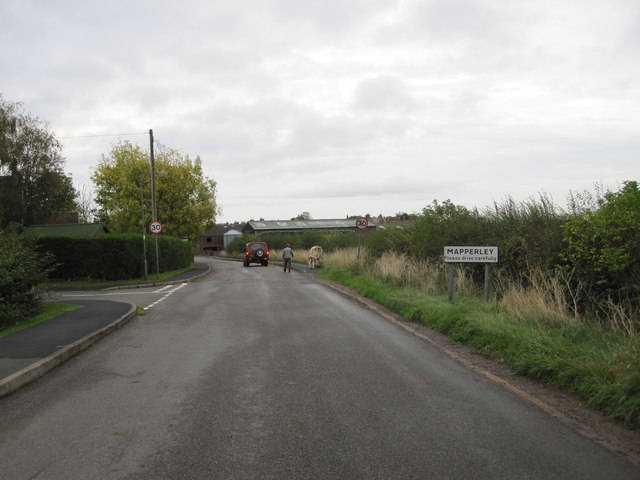
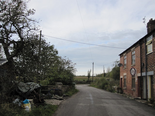
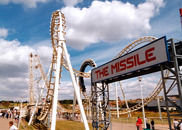
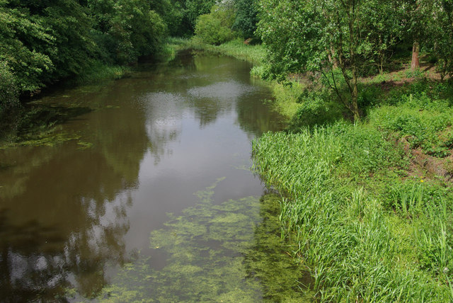
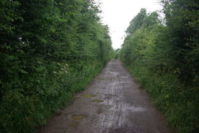
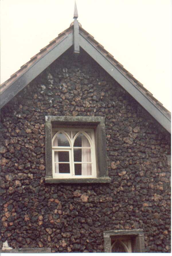
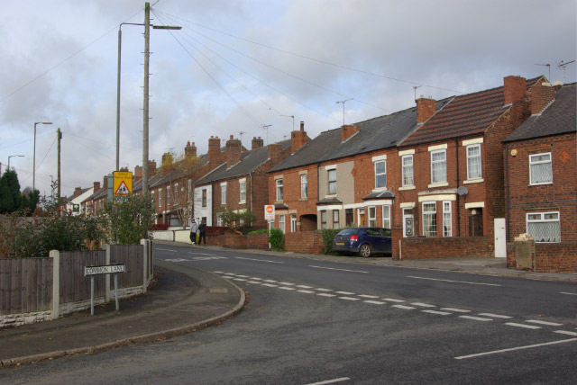
Mapperley Park Images

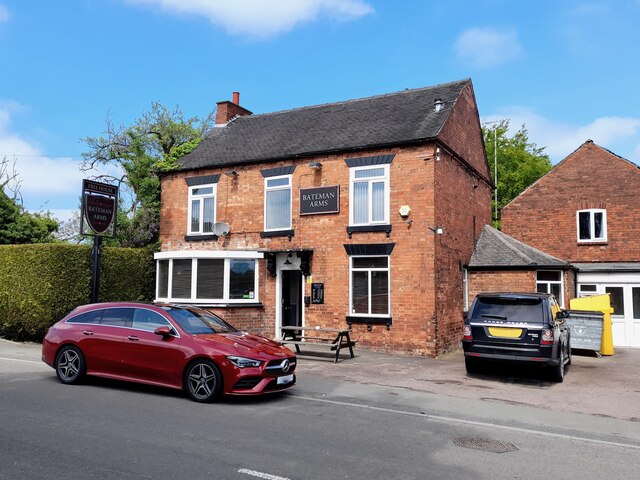
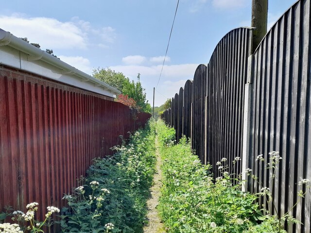
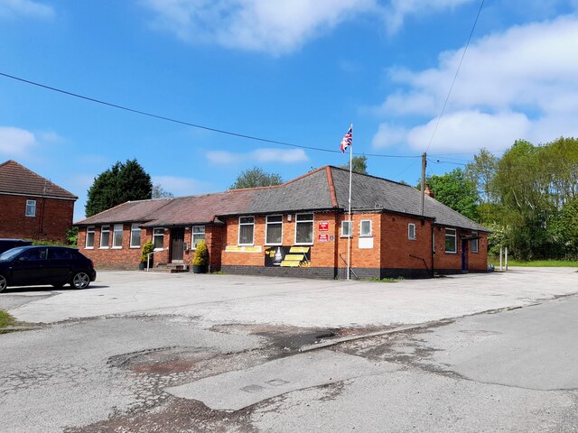
Images are sourced within 2km of 52.984596/-1.3648437 or Grid Reference SK4243. Thanks to Geograph Open Source API. All images are credited.

New houses on the site of the White Hart Since <a href="https://www.geograph.org.uk/photo/3318251">SK4241 : White Hart, West Hallam Common</a> was taken in 2013, the planned refurbishment of the pub has turned into demolition and replacement by houses.
New houses on the site of the White Hart
Since SK4241 : White Hart, West Hallam Common was taken in 2013, the planned refurbishment of the pub has turned into demolition and replacement by houses.
The Four Seasons Playground
West Hallam Junior Football Club Includes boys and girls teams ranging from under-7s to under-16s
West Hallam Junior Football Club
Includes boys and girls teams ranging from under-7s to under-16s
The Bateman Arms
The Bateman Arms
Footpath between the fences The start of an old field path now straightened and hemmed in between garden fences.
Footpath between the fences
The start of an old field path now straightened and hemmed in between garden fences.
338 Top Club Stanley Common Ex-Service & Workmen's Club
338 Top Club
Stanley Common Ex-Service & Workmen's Club
The Fallow Field Literally just an empty field, "Solely for the purpose of recreation", managed by Stanley & Stanley Common Parish Council.
The Fallow Field
Literally just an empty field, "Solely for the purpose of recreation", managed by Stanley & Stanley Common Parish Council.
Derbyshire Avenue in West Hallam View along this long road, one of several on this large estate in West Hallam built just over 25 years ago.
Derbyshire Avenue in West Hallam
View along this long road, one of several on this large estate in West Hallam built just over 25 years ago.
Chiltern Drive in West Hallam A typical picture of one of the roads on this large housing estate in West Hallam.
Chiltern Drive in West Hallam
A typical picture of one of the roads on this large housing estate in West Hallam.
West Hallam Estate This oak in the middle of the estate is likely to be older than the estate built just over 25 years ago.
West Hallam Estate
This oak in the middle of the estate is likely to be older than the estate built just over 25 years ago.
Footpath cuts through between a lake and a pond
Mapperley Reservoir
Mapperley Reservoir
Approaching Mapperley Village Note the cow and her calf being led down the lane to the farm.
Approaching Mapperley Village
Note the cow and her calf being led down the lane to the farm.
Approaching sharp bend on Park Hall Lane
The Missile roller coaster (1990) At the American Adventure theme park. The park opened in 1987 on the site of a former open cast mine and closed in 2007. It is now a country park (Shipley Lakeside) but is up for sale for development.
The Missile roller coaster (1990)
At the American Adventure theme park. The park opened in 1987 on the site of a former open cast mine and closed in 2007. It is now a country park (Shipley Lakeside) but is up for sale for development.
Smalley Dam At the end of the 18th century John Redford of Smalley Hall built a dam on Bell lane creating this pond. Although it became silted up in the 20th century, it has now been restored created a delightful and rather secluded spot.
Smalley Dam
At the end of the 18th century John Redford of Smalley Hall built a dam on Bell lane creating this pond. Although it became silted up in the 20th century, it has now been restored created a delightful and rather secluded spot.
Bell Lane, Smalley Seen here in pouring rain, Bell Lane is just a track whose name derives from the 'bell-pits' used for mining coal that were once common in this area.
Bell Lane, Smalley
Seen here in pouring rain, Bell Lane is just a track whose name derives from the 'bell-pits' used for mining coal that were once common in this area.
Shipley Country Park Overlooking Shipley Lake from a viewpoint close to the site of the old hall.
Shipley Country Park
Overlooking Shipley Lake from a viewpoint close to the site of the old hall.
Show me another place!

Mapperley Park is located at Grid Ref: SK4243 (Lat: 52.984596, Lng: -1.3648437)

Administrative County: Derbyshire

District: Amber Valley

Police Authority: Derbyshire

What 3 Words

///reboot.transit.lingering. Near West Hallam, Derbyshire

Related Wikis

Nearby Amenities

Located within 500m of 52.984596,-1.3648437
Parking
Description: Layby
Lat/Long: 52.9833703/-1.3615968
Barrier: stile
Material: wood
Source: survey
Step Count: 1
Stile: stepover
Lat/Long: 52.983686/-1.363995
Barrier: stile
Fixme: check step count
Material: wood
Source: survey
Step Count: 1
Stile: stepover
Lat/Long: 52.9835113/-1.3655937
Barrier: stile
Fixme: check step count
Material: wood
Source: survey
Step Count: 1
Stile: stepover
Lat/Long: 52.9834064/-1.3659998
Barrier: kissing_gate
Lat/Long: 52.9819853/-1.3684587
Barrier: stile
Steps: 2
Stile: stepover
Lat/Long: 52.9855447/-1.3669331
Barrier: stile
Steps: 1
Stile: stepover
Lat/Long: 52.9863472/-1.3702776
Barrier: kissing_gate
Source: survey
Lat/Long: 52.9839183/-1.3656342
Barrier: kissing_gate
Lat/Long: 52.9833723/-1.3610806
Park Hall Airstrip
Aeroway: aerodrome
Ele: 120' AMSL
Source: http://www.airfieldcards.com/php/courtesy_card.php?id=120
Lat/Long: 52.982245/-1.3710424
Barrier: stile
Steps: 1
Stile: stepover
Lat/Long: 52.9855304/-1.3668929
Fixme: 1 Park Hall Cottages might be here?
Lat/Long: 52.9840962/-1.3667075
Addr City: Ilkeston
Addr Housename: 2 Park Hall Cottages
Addr Postcode: DE7 6DA
Addr Street: Park Hall Lane
Source: survey
Source Addr Postcode: OS Opendata Codepoint
Lat/Long: 52.9840865/-1.3667746
Addr City: Ilkeston
Addr Housename: 3 Park Hall Cottages
Addr Postcode: DE7 6DA
Addr Street: Park Hall Lane
Source: survey
Source Addr Postcode: OS Opendata Codepoint
Lat/Long: 52.9841003/-1.3668202
Addr City: Ilkeston
Addr Housename: 4 Park Hall Cottages
Addr Postcode: DE7 6DA
Addr Street: Park Hall Lane
Source: survey
Source Addr Postcode: OS Opendata Codepoint
Lat/Long: 52.9841204/-1.3668792
Bus Stop
Bus: yes
Public Transport: platform
Shelter: no
Lat/Long: 52.984068/-1.3674049
Barrier: stile
Note: somewhat overgrown
Source: survey
Step Count: 2
Stile: stepover
Lat/Long: 52.982915/-1.3580346
Leisure: fitness_station
Source: survey;Bing
Sport: fitness
Lat/Long: 52.9832331/-1.3578388
Leisure: picnic_table
Lat/Long: 52.9831346/-1.3579005
Leisure: picnic_table
Lat/Long: 52.9830781/-1.3578281
Leisure: picnic_table
Lat/Long: 52.9830878/-1.3579139
Power: pole
Source: Bing
Lat/Long: 52.9810512/-1.3681004
Power: pole
Source: Bing
Lat/Long: 52.9811193/-1.3691357
Power: pole
Source: survey
Lat/Long: 52.9807624/-1.3628325
Power: pole
Source: Bing
Lat/Long: 52.9809384/-1.3663838
Power: pole
Source: survey
Lat/Long: 52.980812/-1.3646281
Barrier: stile
Material: wood
Source: survey
Step Count: 2
Stile: stepover
Lat/Long: 52.9809534/-1.3623335
Barrier: yes
Source: survey
Lat/Long: 52.9836457/-1.3640525
Barrier: stile
Fixme: check step count
Material: wood
Source: survey
Step Count: 1
Stile: stepover
Lat/Long: 52.9819473/-1.3646994
The data included in this document is from www.openstreetmap.org. The data is made available under ODbL.

Have you been to Mapperley Park?

Leave your review of Mapperley Park below (or comments, questions and feedback).