John Wood

Wood, Forest in Derbyshire Amber Valley

England

John Wood

Footpath cuts through between a lake and a pond
Footpath cuts through between a lake and a pond Credit: Alan Heardman

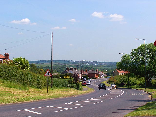
John Wood is a picturesque village located in Derbyshire, England. Situated within the lush surroundings of the famous Peak District National Park, this village is known for its scenic beauty, charming cottages, and peaceful atmosphere.

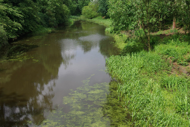
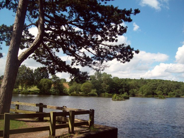
Nestled amidst dense woodlands and surrounded by rolling hills, John Wood offers an idyllic retreat for nature lovers and outdoor enthusiasts. The village takes its name from the abundance of woodlands and forests that envelop it, creating a serene and tranquil environment.

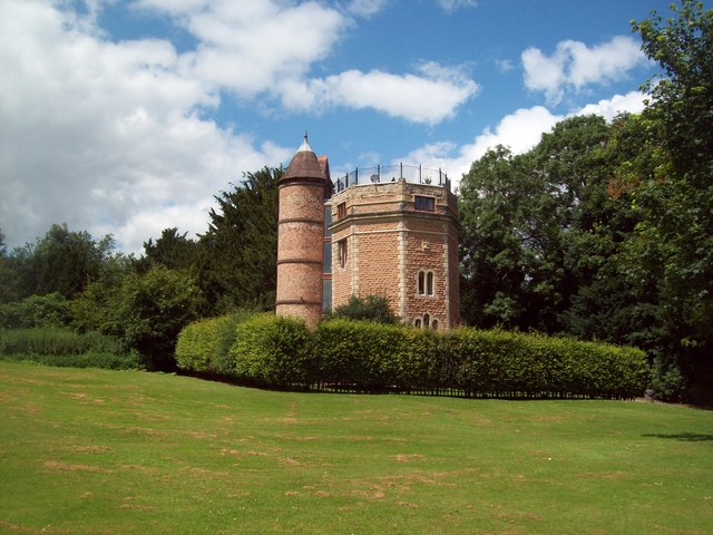
The village itself is comprised of a small, close-knit community, with a population of around 500 residents. The architecture in John Wood is predominantly traditional, with charming stone cottages and historic buildings that add to its rustic charm. Many of these buildings date back several centuries, showcasing the village's rich history and heritage.

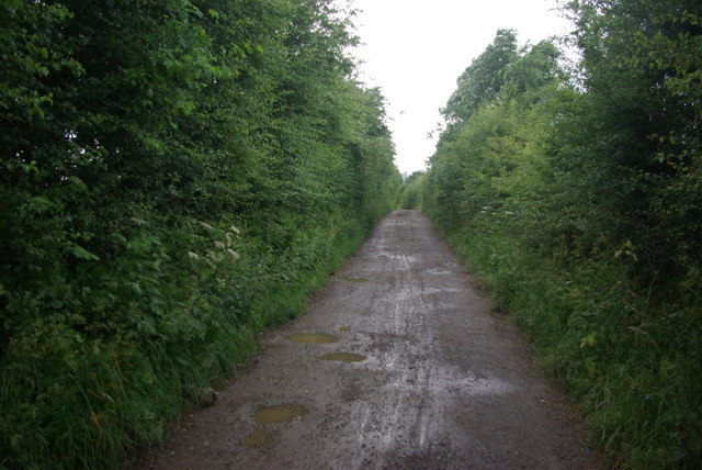
One of the highlights of John Wood is its proximity to a network of walking trails and hiking routes that wind through the stunning Peak District landscape. These trails offer breathtaking views of the surrounding countryside, including the nearby Chatsworth House, which is a renowned stately home and a popular tourist attraction.

The village is also home to a few local amenities, including a small grocery store, a village hall, and a quaint pub serving traditional British cuisine. These establishments provide the residents with essential services and a sense of community.

Overall, John Wood in Derbyshire is a charming village that offers a peaceful retreat amidst stunning natural beauty. Its quaint architecture, friendly community, and proximity to the Peak District National Park make it an ideal destination for those seeking an authentic English countryside experience.

If you have any feedback on the listing, please let us know in the comments section below.
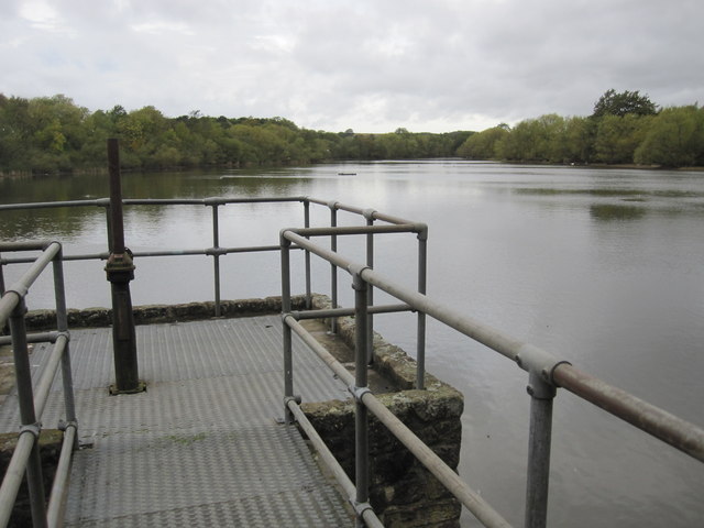
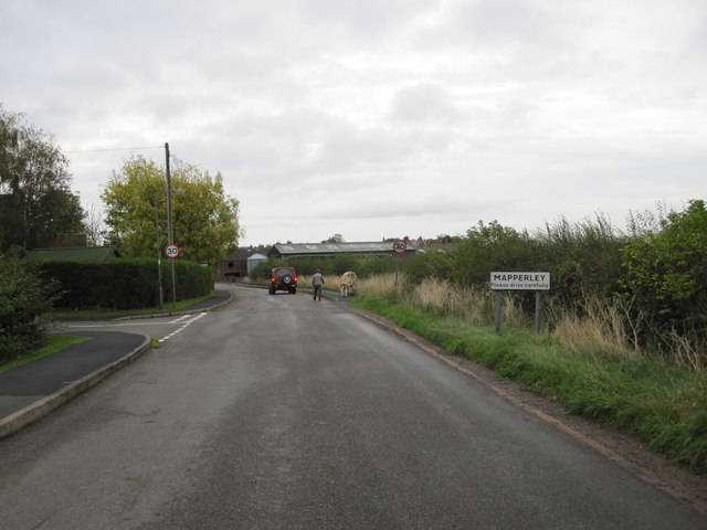
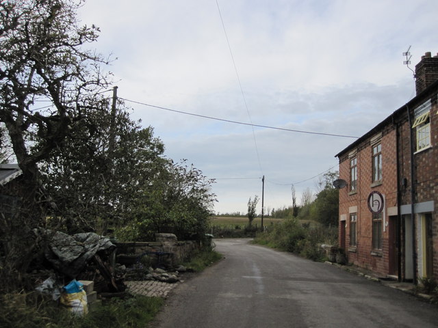
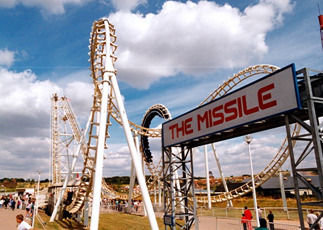
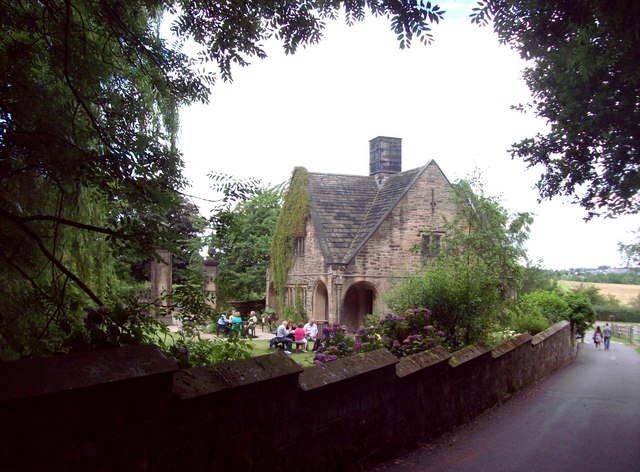
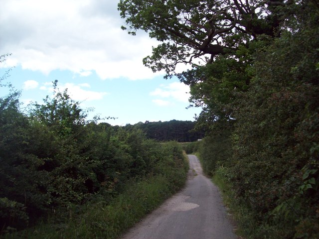
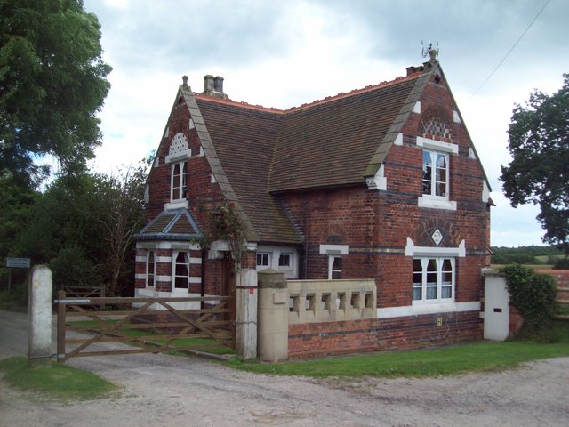
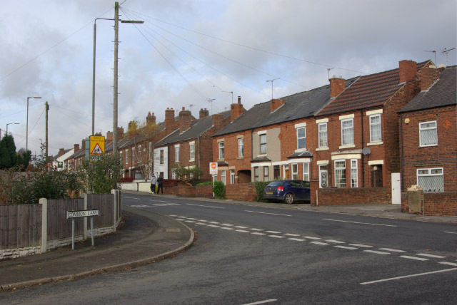
John Wood Images

Images are sourced within 2km of 52.991428/-1.3615554 or Grid Reference SK4243. Thanks to Geograph Open Source API. All images are credited.

Footpath cuts through between a lake and a pond
Mapperley Reservoir
Mapperley Reservoir
Approaching Mapperley Village Note the cow and her calf being led down the lane to the farm.
Approaching Mapperley Village
Note the cow and her calf being led down the lane to the farm.
Approaching sharp bend on Park Hall Lane
Marlpool Station access road Marlpool Station was on the former Great Northern Railway branch from Ilkeston to Heanor and closed to passengers in 1928. The house on the left was the stationmaster's house. The road is a public footpath.
Marlpool Station access road
Marlpool Station was on the former Great Northern Railway branch from Ilkeston to Heanor and closed to passengers in 1928. The house on the left was the stationmaster's house. The road is a public footpath.
Shipley Woodside Colliery "headgear" The original headgear, which apparently had listed status before being demolished and replaced by this 'replica', stood over the brick buildings to the left.
Shipley Woodside Colliery "headgear"
The original headgear, which apparently had listed status before being demolished and replaced by this 'replica', stood over the brick buildings to the left.
Shipley Woodside Colliery The building is the former winding engine house, and has survived because of continuing pumping operations on the site.
Shipley Woodside Colliery
The building is the former winding engine house, and has survived because of continuing pumping operations on the site.
Osborne's Pond Shipley Country Park View from bridge looking out onto Osborne's Pond on a snowy afternoon in Shipley Country Park.
Osborne's Pond Shipley Country Park
View from bridge looking out onto Osborne's Pond on a snowy afternoon in Shipley Country Park.
The Missile roller coaster (1990) At the American Adventure theme park. The park opened in 1987 on the site of a former open cast mine and closed in 2007. It is now a country park (Shipley Lakeside) but is up for sale for development.
The Missile roller coaster (1990)
At the American Adventure theme park. The park opened in 1987 on the site of a former open cast mine and closed in 2007. It is now a country park (Shipley Lakeside) but is up for sale for development.
Smalley Dam At the end of the 18th century John Redford of Smalley Hall built a dam on Bell lane creating this pond. Although it became silted up in the 20th century, it has now been restored created a delightful and rather secluded spot.
Smalley Dam
At the end of the 18th century John Redford of Smalley Hall built a dam on Bell lane creating this pond. Although it became silted up in the 20th century, it has now been restored created a delightful and rather secluded spot.
Bell Lane, Smalley Seen here in pouring rain, Bell Lane is just a track whose name derives from the 'bell-pits' used for mining coal that were once common in this area.
Bell Lane, Smalley
Seen here in pouring rain, Bell Lane is just a track whose name derives from the 'bell-pits' used for mining coal that were once common in this area.
Scots Pine in Shipley Country Park Seen here overlooking Osborne's Pond on a fine Saturday in late July.
Scots Pine in Shipley Country Park
Seen here overlooking Osborne's Pond on a fine Saturday in late July.
Shipley Country Park Overlooking Shipley Lake from a viewpoint close to the site of the old hall.
Shipley Country Park
Overlooking Shipley Lake from a viewpoint close to the site of the old hall.
Entrance Sign to the Dismantled  American Adventure Country Park Overgrown car park and a forlorn sign near what was the entrance to the park on the right. The site is eerily quiet and as at the date of posting the park has been shut for nearly 6 years.
Entrance Sign to the Dismantled American Adventure Country Park
Overgrown car park and a forlorn sign near what was the entrance to the park on the right. The site is eerily quiet and as at the date of posting the park has been shut for nearly 6 years.
Converted Water Tower in Shipley Country Park Another picture of this unusual structure which is now a private dwelling.
Converted Water Tower in Shipley Country Park
Another picture of this unusual structure which is now a private dwelling.
Derby Lodge in Shipley Country Park Former lodge at the northern end of the Shipley Country Park now operating as a tearoom.
Derby Lodge in Shipley Country Park
Former lodge at the northern end of the Shipley Country Park now operating as a tearoom.
Bell Lane Approaching Manchester Wood Bridleway pictured here looking west in the direction of Smalley.
Bell Lane Approaching Manchester Wood
Bridleway pictured here looking west in the direction of Smalley.
Smalley Lodge Decorative gatehouse situated on Bell Lane at the edge to the former Shipley estate. The crest of the Miller-Mundy family of Shipley Hall can be seen above the right ground floor window and the building itself is Grade II listed  <span class="nowrap"><a title="http://www.britishlistedbuildings.co.uk/en-78831-smalley-lodge-smalley" rel="nofollow ugc noopener" href="http://www.britishlistedbuildings.co.uk/en-78831-smalley-lodge-smalley">Link</a><img style="margin-left:2px;" alt="External link" title="External link - shift click to open in new window" src="https://s1.geograph.org.uk/img/external.png" width="10" height="10"/></span>
Smalley Lodge
Decorative gatehouse situated on Bell Lane at the edge to the former Shipley estate. The crest of the Miller-Mundy family of Shipley Hall can be seen above the right ground floor window and the building itself is Grade II listed LinkExternal link
Show me another place!

John Wood is located at Grid Ref: SK4243 (Lat: 52.991428, Lng: -1.3615554)

Administrative County: Derbyshire

District: Amber Valley

Police Authority: Derbyshire

What 3 Words

///plantings.gained.arose. Near West Hallam, Derbyshire

Related Wikis

Shipley Hall

Shipley Hall was a country estate in Shipley, Derbyshire near Heanor and Ilkeston which now forms a Country Park. == Early history == The Shipley estate...

Mapperley, Derbyshire

Mapperley is a village and civil parish in the Amber Valley district of Derbyshire, England, situated 7 miles (11 km) northeast of Derby and 2 miles (3...

Marlpool railway station

Marlpool railway station is a former railway station that served the village of Marlpool in Derbyshire, England. It was opened on a branch line from Ilkeston...

The American Adventure Theme Park

The American Adventure was a theme park in Derbyshire, England, quite close to both Nottingham and Derby on the edge of Ilkeston. The park for many years...

Heanor railway station (Great Northern Railway)

Heanor railway station was a former railway station at Heanor in Derbyshire, England, opened in 1891. It was the terminus of the branch from Ilkeston on...

Stanley Common

Stanley Common is a village in the south-east of Derbyshire in the East Midlands of England.It is situated on the A609 main road between Ilkeston and Derby...

Shipley, Derbyshire

Shipley is a village in the south-east of Derbyshire in the East Midlands of England. Since 1974 it has been part of the Borough of Amber Valley. The population...

Town Ground (Heanor)

The Town Ground is a cricket and football ground in the town of Heanor, Derbyshire, England. For cricket, the ground is the home of Heanor Town CC, and...

Nearby Amenities

Located within 500m of 52.991428,-1.3615554
Leisure: picnic_table
Source: survey
Lat/Long: 52.9889444/-1.3557118
Bench
Source: survey
Lat/Long: 52.9891357/-1.3555951
Bench
Source: survey
Lat/Long: 52.9891115/-1.355288
Bench
Source: survey
Lat/Long: 52.9909829/-1.3610685
Fixme: Continues
Lat/Long: 52.9910122/-1.3609857
Bench
Source: survey
Lat/Long: 52.9921234/-1.3613579
Bench
Source: survey
Lat/Long: 52.9927781/-1.3624147
Barrier: stile
Lat/Long: 52.9901886/-1.3621631
Fixme: Continues
Lat/Long: 52.9902013/-1.3621666
Bench
Source: survey
Lat/Long: 52.9899938/-1.359424
Fixme: Fence continues?
Lat/Long: 52.9903139/-1.3591176
The data included in this document is from www.openstreetmap.org. The data is made available under ODbL.

Have you been to John Wood?

Leave your review of John Wood below (or comments, questions and feedback).