Roper's Wood

Wood, Forest in Durham

England

Roper's Wood

Hurworth Burn Reservoir The northeastern corner of the reservoir, pictured, is separated from the rest  by the embankment of the former Castle Eden Railway, now part of National Cycle Route 1.
Hurworth Burn Reservoir Credit: David Robinson

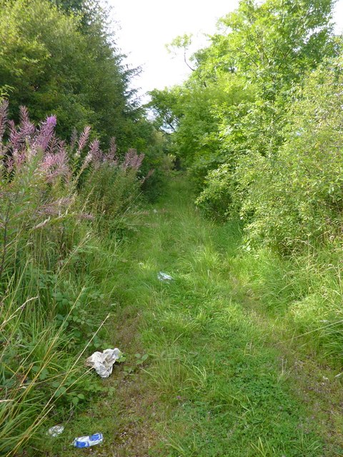
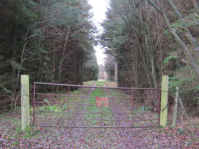
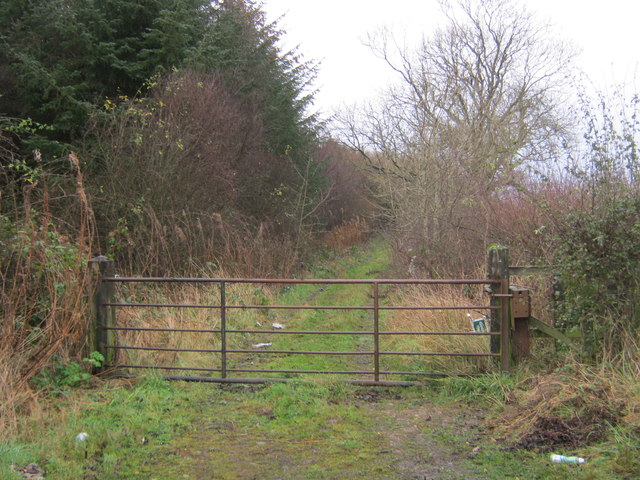
Roper's Wood is a picturesque forest located in Durham, a county in the northeast of England. Situated on the outskirts of the city, this woodland area covers an approximate area of 50 acres. The wood is known for its diverse range of tree species, including oak, beech, birch, and ash, creating a rich and vibrant ecosystem.

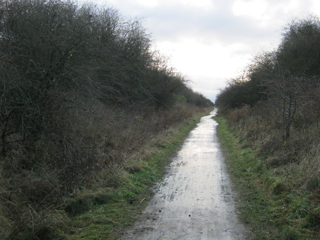
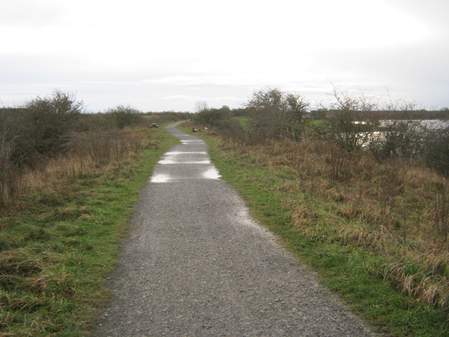
The wood is a popular destination for nature enthusiasts and outdoor enthusiasts alike. Its well-maintained trails and paths make it easily accessible for walkers, joggers, and cyclists. The forest is also a haven for wildlife, with various species of birds, squirrels, and deer commonly spotted among the trees.

One of the notable features of Roper's Wood is its ancient history. It is believed that the wood has existed for centuries, making it a site of historical significance. The area has been managed and protected by local authorities to preserve its natural beauty and cultural value.

Visitors to Roper's Wood can enjoy a tranquil and peaceful atmosphere, away from the hustle and bustle of city life. The forest offers a serene environment for relaxation, picnics, and photography, with its picturesque landscapes and seasonal changes.

Overall, Roper's Wood is a hidden gem in Durham, offering a unique and immersive experience in nature. Whether it's for a leisurely stroll, birdwatching, or simply to escape the urban environment, this woodland provides a refreshing retreat for residents and visitors alike.

If you have any feedback on the listing, please let us know in the comments section below.
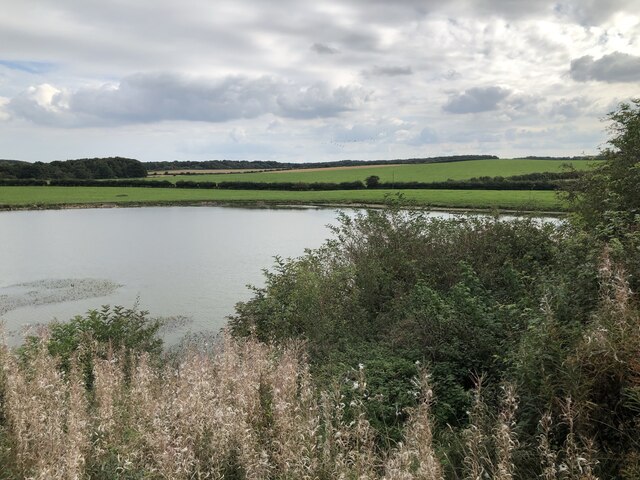
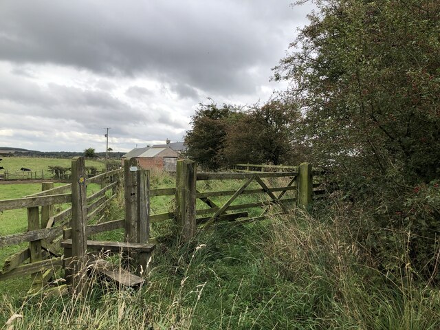
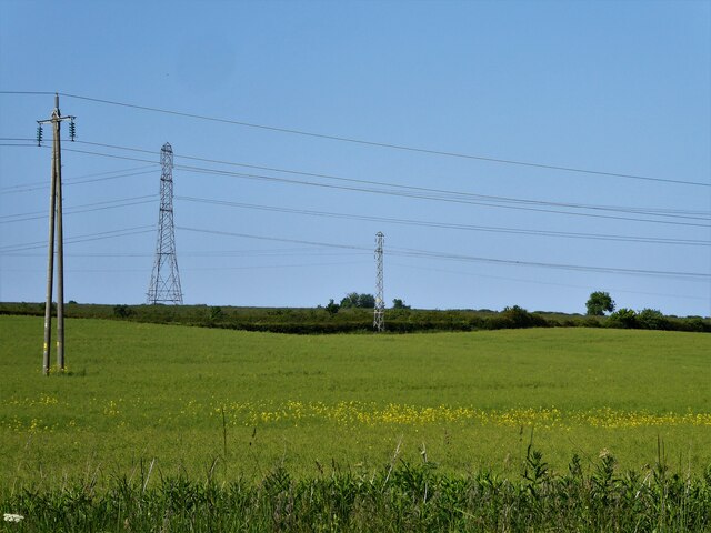
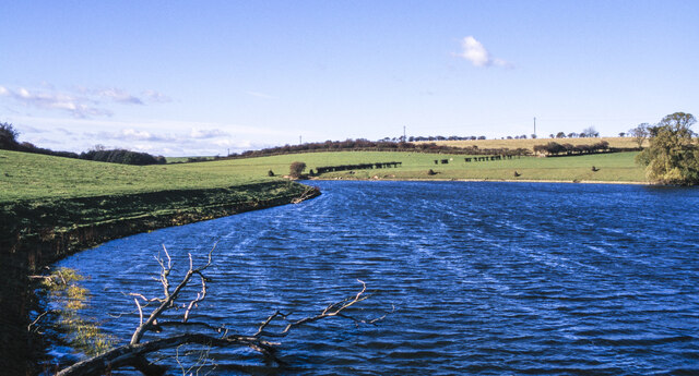
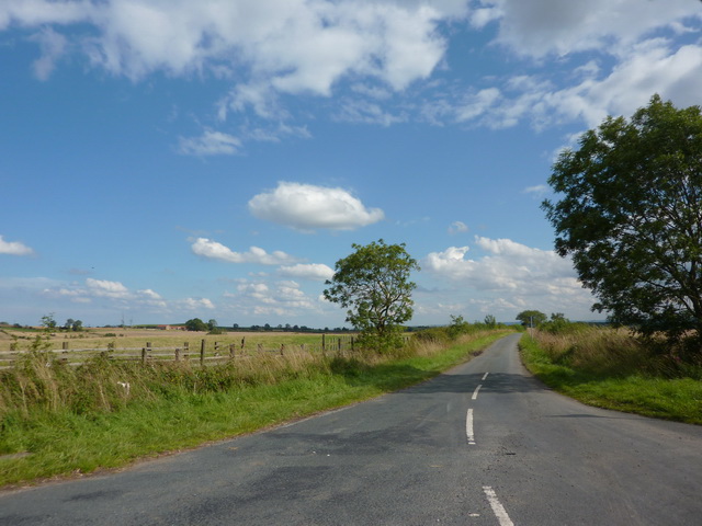
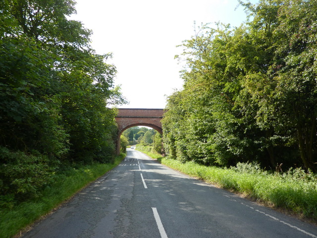
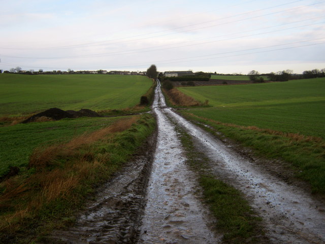
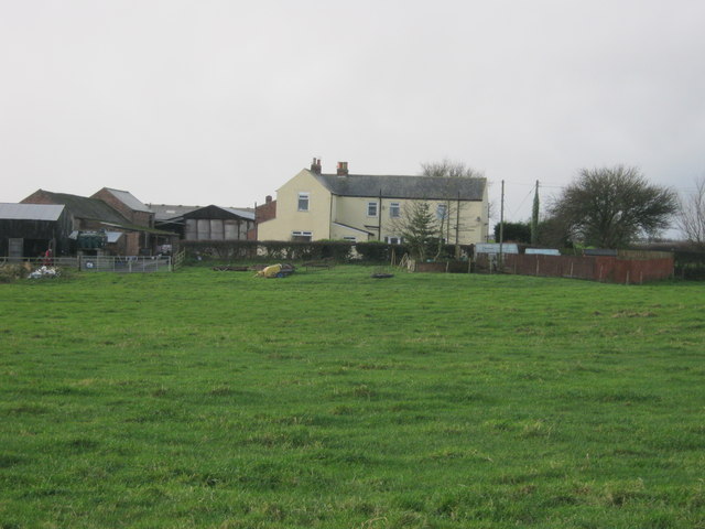
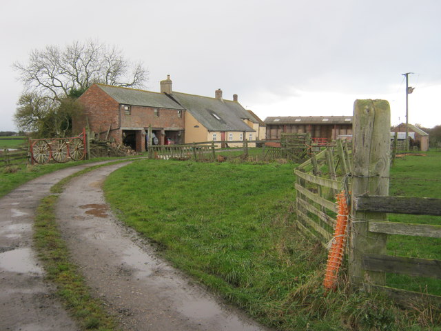
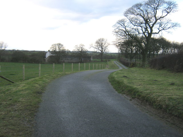
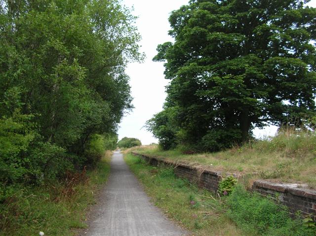
Roper's Wood Images

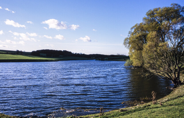
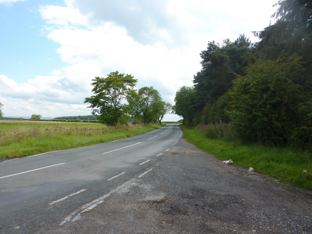
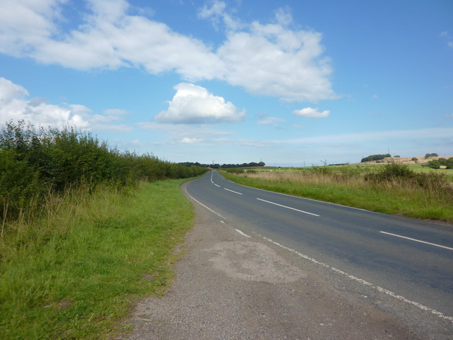
Images are sourced within 2km of 54.698405/-1.3450461 or Grid Reference NZ4233. Thanks to Geograph Open Source API. All images are credited.

Hurworth Burn Reservoir The northeastern corner of the reservoir, pictured, is separated from the rest  by the embankment of the former Castle Eden Railway, now part of National Cycle Route 1.
Hurworth Burn Reservoir
The northeastern corner of the reservoir, pictured, is separated from the rest by the embankment of the former Castle Eden Railway, now part of National Cycle Route 1.
Path To Black Hurworth
Power Transmission Lines Three types of poles and pylons for electricity transmission cables across fields by the B1280 road
Power Transmission Lines
Three types of poles and pylons for electricity transmission cables across fields by the B1280 road
South shore of Hurworth Reservoir The south shore of the western arm of the reservoir viewed from near to a bridge carrying a public footpath over the water. The reservoir is a well-known birdwatching location.
South shore of Hurworth Reservoir
The south shore of the western arm of the reservoir viewed from near to a bridge carrying a public footpath over the water. The reservoir is a well-known birdwatching location.
Towards western end of Hurworth Reservoir The western end of the reservoir where the River Skerne and the Hurworth Burn enter.
Towards western end of Hurworth Reservoir
The western end of the reservoir where the River Skerne and the Hurworth Burn enter.
Hurworth Burn Road
Hurworth Burn Road
Hurworth Burn Road
Hurworth Burn Road
Footpath northeast side of Roper's Wood
Disused railway bridge over Hurworth Burn Road
Footpath south of Hutton Henry
Wood Close Farm
Wood Close Farm
Firebreak in Roper's Wood
Access to footpath from Hurworth Burn Road
Castle Eden Walkway
Castle Eden Walkway
Castle Eden Walkway alongside Hurworth Burn Reservoir
Black Hurworth Farm
Black Hurworth Farm
Drive to Hart Bushes Hall
Show me another place!

Roper's Wood is located at Grid Ref: NZ4233 (Lat: 54.698405, Lng: -1.3450461)

Unitary Authority: County Durham

Police Authority: Durham

What 3 Words

///flipper.tries.equipment. Near Elwick, Co. Durham

Related Wikis

Nearby Amenities

Located within 500m of 54.698405,-1.3450461
Barrier: stile
Foot: yes
Lat/Long: 54.7013274/-1.3451626
Barrier: stile
Foot: yes
Lat/Long: 54.702558/-1.3456041
The data included in this document is from www.openstreetmap.org. The data is made available under ODbL.

Have you been to Roper's Wood?

Leave your review of Roper's Wood below (or comments, questions and feedback).