California Wood

Wood, Forest in Yorkshire Hambleton

England

California Wood

'The Duke' in Welbury The pub comes with separate accommodation and what appears to be an interesting menu. I haven't eaten at the Duke of Wellington for many years, so must give it another try.
'The Duke' in Welbury Credit: Gordon Hatton

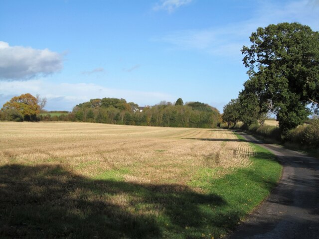
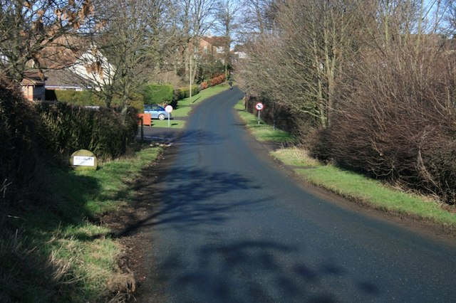
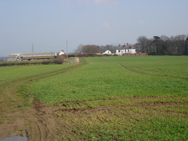
California Wood is a small woodland area located in Yorkshire, England. It is situated in the region known as the Yorkshire Dales National Park, renowned for its picturesque landscapes and rich biodiversity. This woodland covers an area of approximately 20 acres and is characterized by its dense vegetation, towering trees, and diverse wildlife.

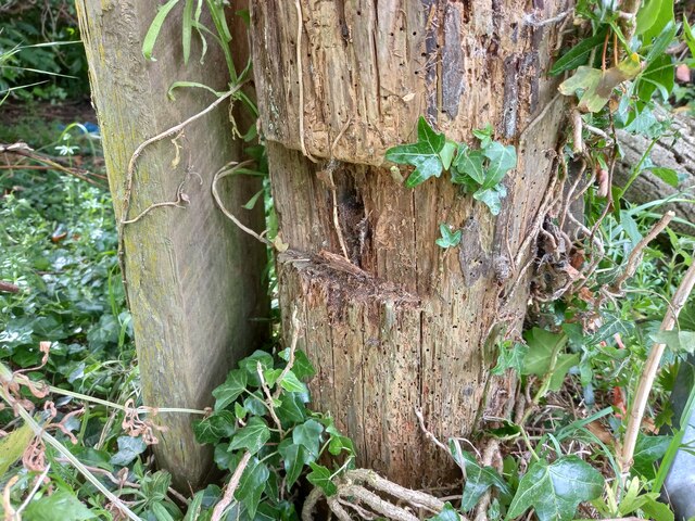
The forest is primarily composed of deciduous trees such as oak, beech, and ash, creating a vibrant and colorful canopy during the summer months. The forest floor is covered in a thick carpet of mosses, ferns, and wildflowers, adding to the enchanting atmosphere of the woodland.

California Wood is home to a wide range of wildlife species, making it a popular destination for nature enthusiasts and bird watchers. It provides a habitat for various bird species, including woodpeckers, owls, and warblers. Mammals such as badgers, deer, and foxes can also be spotted within the wood.

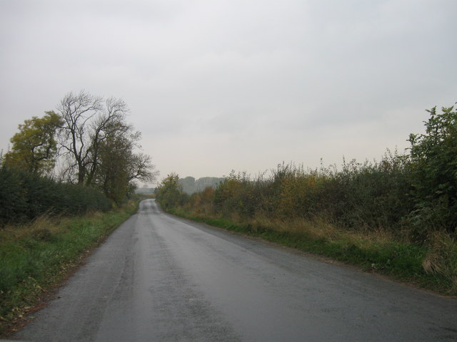
The woodland offers several walking trails, allowing visitors to explore its natural beauty. These trails wind through the forest, offering glimpses of stunning vistas, tranquil streams, and secluded clearings. The peaceful ambiance of California Wood makes it an ideal retreat for those seeking solace in nature.

The management of California Wood is overseen by the Yorkshire Dales National Park Authority, ensuring the preservation and conservation of its natural resources. The woodland serves as an important educational and recreational resource, providing visitors with an opportunity to connect with nature and learn about the region's rich ecological heritage.

If you have any feedback on the listing, please let us know in the comments section below.

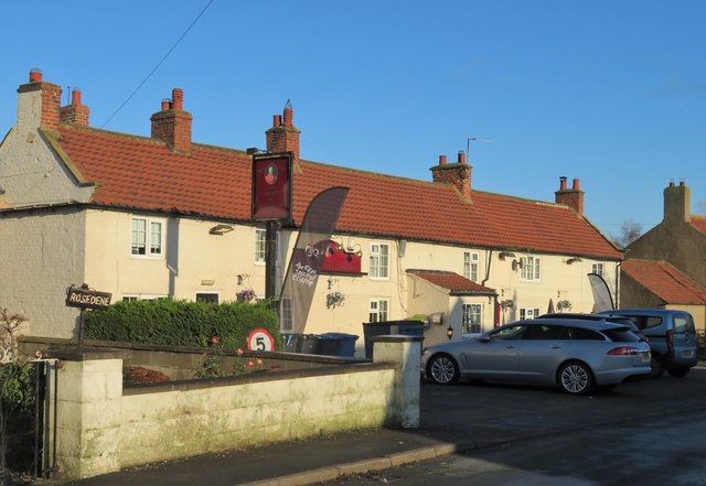
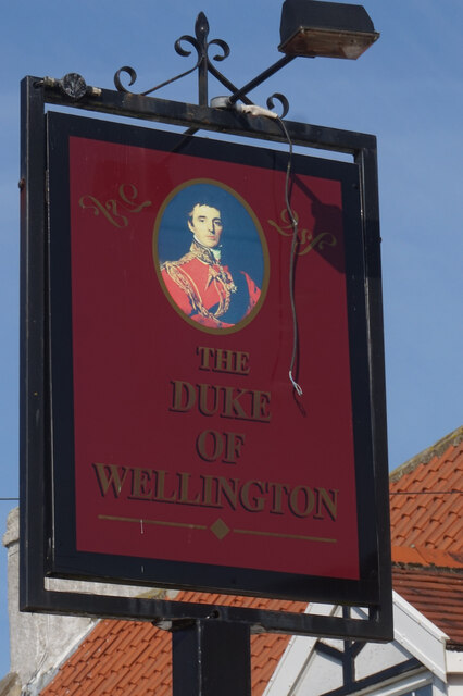
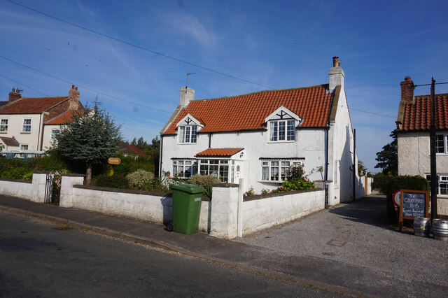
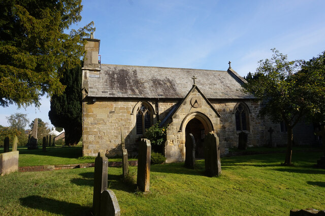
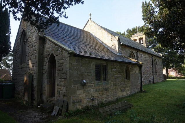
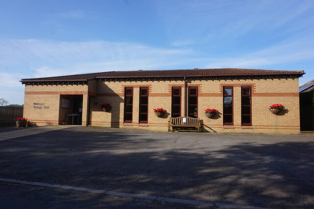
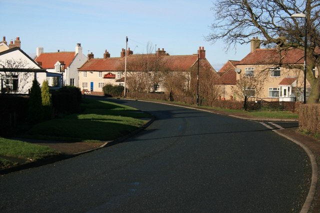
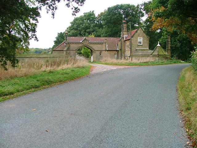
California Wood Images

Images are sourced within 2km of 54.415845/-1.3617762 or Grid Reference NZ4102. Thanks to Geograph Open Source API. All images are credited.

'The Duke' in Welbury The pub comes with separate accommodation and what appears to be an interesting menu. I haven't eaten at the Duke of Wellington for many years, so must give it another try.
'The Duke' in Welbury
The pub comes with separate accommodation and what appears to be an interesting menu. I haven't eaten at the Duke of Wellington for many years, so must give it another try.
Duke of Wellington public house, Welbury
Rosedene, Welbury
Rosedene, Welbury
St Leonard's Church, Welbury
Welbury Village Hall on Tofts Lane, Welbury
Private road to Applegarth Manor Just north of Welbury village with a private road and public footpath heading north towards Applegarth Manor.
Private road to Applegarth Manor
Just north of Welbury village with a private road and public footpath heading north towards Applegarth Manor.
Welbury With the Duke of Wellington at the end of the bend.
Welbury
With the Duke of Wellington at the end of the bend.
Welbury Entering the village from the south.
Welbury
Entering the village from the south.
Applegarth Manor Applegarth Manor Farm, taken from the lane south of Appleton Wiske.
Applegarth Manor
Applegarth Manor Farm, taken from the lane south of Appleton Wiske.
West Rounton, St Oswald's This is the extreme left of the west facing wall of the church. There is a benchmark cut into 2 cornerstones.
West Rounton, St Oswald's
This is the extreme left of the west facing wall of the church. There is a benchmark cut into 2 cornerstones.
West Rounton, St Oswald's A wider angle showing the west facing wall of the church with the tower. On the extreme left of this wall, there is a benchmark cut into 2 cornerstones.
West Rounton, St Oswald's
A wider angle showing the west facing wall of the church with the tower. On the extreme left of this wall, there is a benchmark cut into 2 cornerstones.
East Harlsey, Low Moor Lane According to the OS benchmark database there was a gatepost at this location with a benchmark. Having cut away the creepers from a very old wooden gatepost I was disappointed not to find the remains of a cut mark. Some wood has rotted in an area where the mark is likely to have been, but today it is completely indistinguishable.
East Harlsey, Low Moor Lane
According to the OS benchmark database there was a gatepost at this location with a benchmark. Having cut away the creepers from a very old wooden gatepost I was disappointed not to find the remains of a cut mark. Some wood has rotted in an area where the mark is likely to have been, but today it is completely indistinguishable.
Ashmore, Benson, Pease and Co.’s tank at Rounton Grange Rounton Grange, the ancestral home of the Bells, is now a bit of a no-show, given that the house was demolished back in 1965. The site’s now reverted to woodland. But a few buildings in the grounds are still hanging on. Like this one with an unmistakable cast iron tank proudly sporting the name of Ashmore, Benson, Pease and Co., which immediately caught my attention. And next door, there’s that strange ventilation arrangement. Curiouser and curiouser, as Alice once said.

So, here’s what we know. Sir Hugh Bell took the reins of the estate when his father died in 1904. The man wasted no time leaving his mark with fancy upgrades – private electricity and a spanking new water tank3. Could this be the said water tank, with the adjoining building housing the electricity gear? Oddly, Heritage Gateway, my trusty oracle for all things heritage, draws a blank.

In the photo, the low wall in the foreground surrounds some open tanks, hinting at some water treatment apparatus.

Now, let’s zoom in on that water tank on the nearby rooftop. The Ashmore, Benson, Pease and Co. tag triggers a memory for me, for I was once seconded at Davy-Ashmore, a descendent of that very company.

Four engineers and an ironmaster founded Ashmore, Benson, Pease and Company in Stockton-on-Tees in 1885, dealing in ironwork, gas engineering, and contracting4. In 1887, they won a major contract to build a new bridge, and the following year their catalogue showcases gas-related products and infrastructure.

Fast-forward to 1894, they’re on the up, scoring a contract for the Middlesbrough gas-holder, backed by none other than Alderman Hugh Bell. Two years later, the thing starts subsiding, but Bell insists it’s the foundation’s fault, not Ashmore, Benson, Pease and Co.

In 1901, the Power-Gas Corporation acquires them for their gas plant expertise, and by the start of the World War I, they’re well into manufacturing equipment for gas production, blast furnaces, and coke ovens.

So, in 1906, when this relatively modest tank was hoisted onto an outbuilding at Rounton Grange, Ashmore, Benson, Pease and Co. was the go-to company for gas engineering.

But to continue the brief history of the company, in 1960, it undergoes a merger, becoming part of the Davy-Ashmore group, and in ’68, the metal fabrication section of the business is acquired by Whessoe.

Ashmore, Benson, Pease and Company — an enterprise that’s endured for more than eight decades, began as an independent firm and eventually became absorbed by larger corporations, but left behind a legacy in the steel and energy sectors.

Now, the big question – is that a water tank or a gas tank?

For sources and supplementary photos see my journal <span class="nowrap"><a title="http://www.fhithich.uk/?p=34829" rel="nofollow ugc noopener" href="http://www.fhithich.uk/?p=34829">Link</a><img style="margin-left:2px;" alt="External link" title="External link - shift click to open in new window" src="https://s1.geograph.org.uk/img/external.png" width="10" height="10"/></span>
Ashmore, Benson, Pease and Co.’s tank at Rounton Grange
Rounton Grange, the ancestral home of the Bells, is now a bit of a no-show, given that the house was demolished back in 1965. The site’s now reverted to woodland. But a few buildings in the grounds are still hanging on. Like this one with an unmistakable cast iron tank proudly sporting the name of Ashmore, Benson, Pease and Co., which immediately caught my attention. And next door, there’s that strange ventilation arrangement. Curiouser and curiouser, as Alice once said. So, here’s what we know. Sir Hugh Bell took the reins of the estate when his father died in 1904. The man wasted no time leaving his mark with fancy upgrades – private electricity and a spanking new water tank3. Could this be the said water tank, with the adjoining building housing the electricity gear? Oddly, Heritage Gateway, my trusty oracle for all things heritage, draws a blank. In the photo, the low wall in the foreground surrounds some open tanks, hinting at some water treatment apparatus. Now, let’s zoom in on that water tank on the nearby rooftop. The Ashmore, Benson, Pease and Co. tag triggers a memory for me, for I was once seconded at Davy-Ashmore, a descendent of that very company. Four engineers and an ironmaster founded Ashmore, Benson, Pease and Company in Stockton-on-Tees in 1885, dealing in ironwork, gas engineering, and contracting4. In 1887, they won a major contract to build a new bridge, and the following year their catalogue showcases gas-related products and infrastructure. Fast-forward to 1894, they’re on the up, scoring a contract for the Middlesbrough gas-holder, backed by none other than Alderman Hugh Bell. Two years later, the thing starts subsiding, but Bell insists it’s the foundation’s fault, not Ashmore, Benson, Pease and Co. In 1901, the Power-Gas Corporation acquires them for their gas plant expertise, and by the start of the World War I, they’re well into manufacturing equipment for gas production, blast furnaces, and coke ovens. So, in 1906, when this relatively modest tank was hoisted onto an outbuilding at Rounton Grange, Ashmore, Benson, Pease and Co. was the go-to company for gas engineering. But to continue the brief history of the company, in 1960, it undergoes a merger, becoming part of the Davy-Ashmore group, and in ’68, the metal fabrication section of the business is acquired by Whessoe. Ashmore, Benson, Pease and Company — an enterprise that’s endured for more than eight decades, began as an independent firm and eventually became absorbed by larger corporations, but left behind a legacy in the steel and energy sectors. Now, the big question – is that a water tank or a gas tank? For sources and supplementary photos see my journal LinkExternal link
Country road
Country road
Level crossing
Level crossing
Cut Bench Mark East Rounton Bridge This Ordnance survey mark was used as part of the levelling process for the OS map of 1911. The height recorded was 188.8ft above the mean sea level at Liverpool.
Cut Bench Mark East Rounton Bridge
This Ordnance survey mark was used as part of the levelling process for the OS map of 1911. The height recorded was 188.8ft above the mean sea level at Liverpool.
Show me another place!

California Wood is located at Grid Ref: NZ4102 (Lat: 54.415845, Lng: -1.3617762)

Division: North Riding

Administrative County: North Yorkshire

District: Hambleton

Police Authority: North Yorkshire

What 3 Words

///driveways.markets.ripples. Near Brompton, North Yorkshire

Related Wikis

West Rounton

West Rounton is a village and civil parish in North Yorkshire, England. It is 8 miles (13 km) north of Northallerton. East Rounton is about 1-mile (1.6...

East Rounton

East Rounton is a village and civil parish in the Hambleton District of North Yorkshire, England. It is about 1 mile (1.6 km) west of the A19 and 8 miles...

Welbury railway station

Welbury railway station was a railway station serving the village of Welbury in North Yorkshire, England. Located on the Northallerton to Eaglescliffe...

Welbury

Welbury is a village and civil parish in the Hambleton district of North Yorkshire, England. It is about 1 mile (1.6 km) south of Appleton Wiske and 8...

Nearby Amenities

Located within 500m of 54.415845,-1.3617762
Generator Method: photovoltaic
Generator Source: solar
Generator Type: solar_photovoltaic_panel
Power: generator
Lat/Long: 54.4197298/-1.3643982
West Rounton Grange
Place: isolated_dwelling
Source Name: OS_OpenData_StreetView
Lat/Long: 54.4196978/-1.3644934
The data included in this document is from www.openstreetmap.org. The data is made available under ODbL.

Have you been to California Wood?

Leave your review of California Wood below (or comments, questions and feedback).