Brickyard Wood

Wood, Forest in Yorkshire Hambleton

England

Brickyard Wood

St Leonard's Church, Welbury
St Leonard's Church, Welbury Credit: Ian S

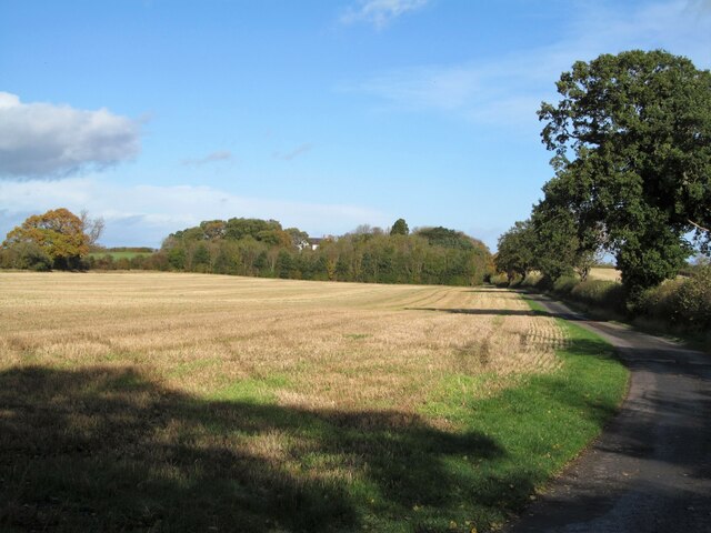
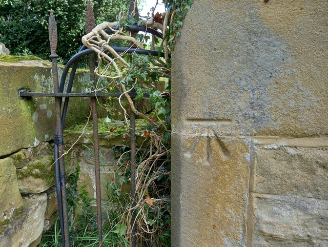
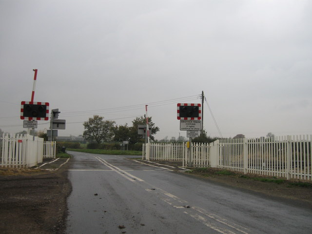
Brickyard Wood is a picturesque woodland located in Yorkshire, England. Covering an area of approximately 50 acres, this enchanting forest is known for its diverse flora and fauna, making it a popular destination for nature enthusiasts and hikers alike.

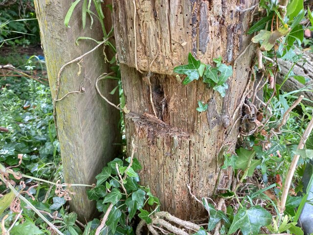
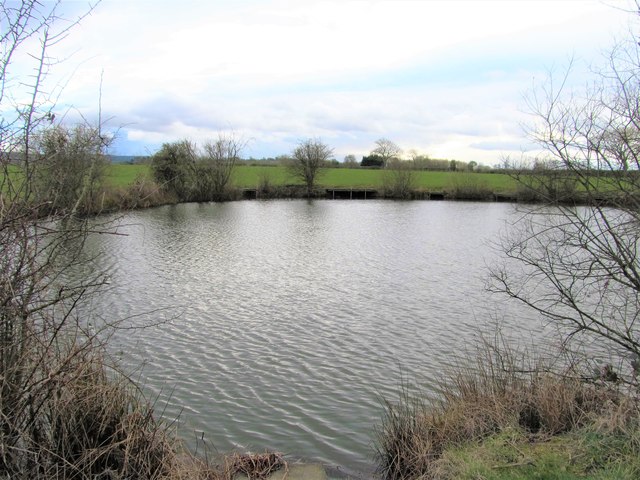
The wood is predominantly composed of broadleaf trees such as oak, beech, and birch, creating a dense and lush canopy overhead. The understory is adorned with an array of wildflowers, including bluebells and foxgloves, adding vibrant splashes of color to the woodland floor. This rich ecosystem provides a haven for various bird species, such as thrushes, woodpeckers, and owls, making it a perfect spot for birdwatching.

Tranquility and serenity are the hallmarks of Brickyard Wood, as it is situated away from major roads and human settlements. The peaceful atmosphere allows visitors to immerse themselves in the natural beauty of the surroundings, providing an escape from the hustle and bustle of city life.

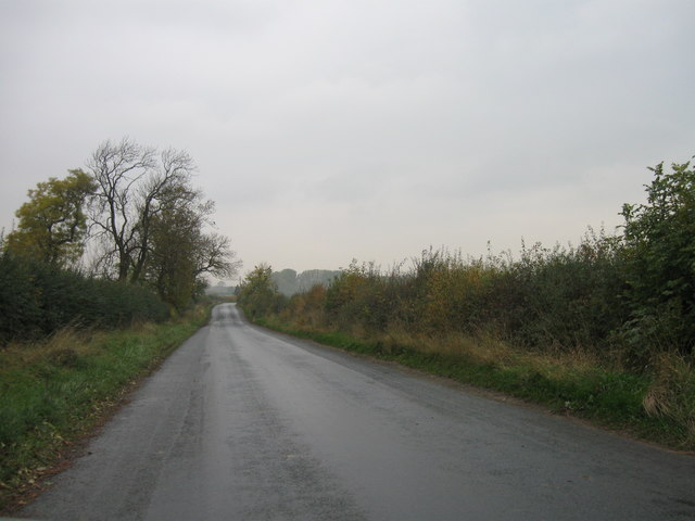
The wood is crisscrossed by a network of well-maintained footpaths, allowing visitors to explore its diverse terrain easily. These paths lead to several vantage points, offering panoramic views of the surrounding countryside and the nearby River Wharfe.

Brickyard Wood also boasts a number of picnic spots, where visitors can relax and enjoy the peaceful ambiance while indulging in a packed lunch. Furthermore, the wood is home to a small visitor center, providing information about the local wildlife and conservation efforts.

Overall, Brickyard Wood is a hidden gem in the heart of Yorkshire, offering a serene and captivating experience for nature lovers, hikers, and families seeking a tranquil retreat.

If you have any feedback on the listing, please let us know in the comments section below.

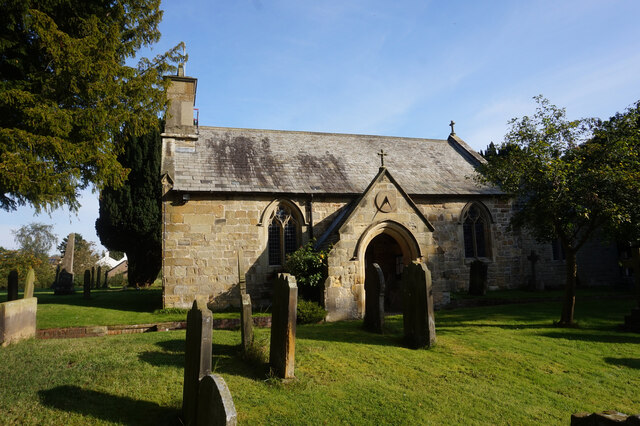
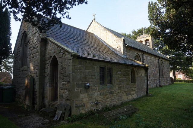
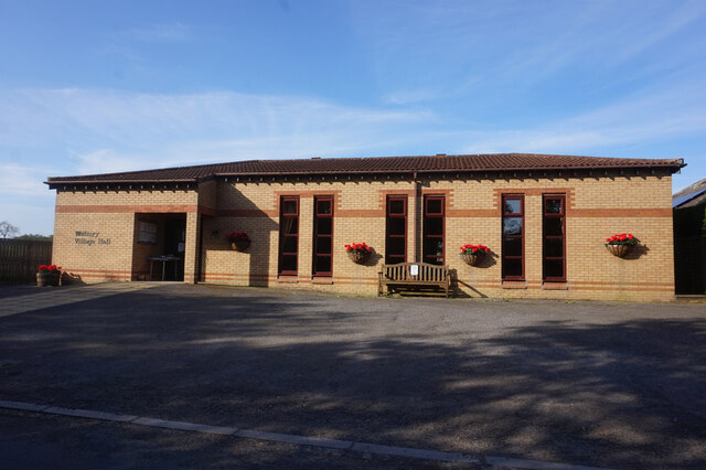
Brickyard Wood Images

Images are sourced within 2km of 54.414232/-1.3559612 or Grid Reference NZ4102. Thanks to Geograph Open Source API. All images are credited.

St Leonard's Church, Welbury
Welbury Village Hall on Tofts Lane, Welbury
Private road to Applegarth Manor Just north of Welbury village with a private road and public footpath heading north towards Applegarth Manor.
Private road to Applegarth Manor
Just north of Welbury village with a private road and public footpath heading north towards Applegarth Manor.
Farmland Beside The Railway Near Welbury
West Rounton, St Oswald's This is the extreme left of the west facing wall of the church. There is a benchmark cut into 2 cornerstones.
West Rounton, St Oswald's
This is the extreme left of the west facing wall of the church. There is a benchmark cut into 2 cornerstones.
West Rounton, St Oswald's A wider angle showing the west facing wall of the church with the tower. On the extreme left of this wall, there is a benchmark cut into 2 cornerstones.
West Rounton, St Oswald's
A wider angle showing the west facing wall of the church with the tower. On the extreme left of this wall, there is a benchmark cut into 2 cornerstones.
East Harlsey, Low Moor Lane According to the OS benchmark database there was a gatepost at this location with a benchmark. Having cut away the creepers from a very old wooden gatepost I was disappointed not to find the remains of a cut mark. Some wood has rotted in an area where the mark is likely to have been, but today it is completely indistinguishable.
East Harlsey, Low Moor Lane
According to the OS benchmark database there was a gatepost at this location with a benchmark. Having cut away the creepers from a very old wooden gatepost I was disappointed not to find the remains of a cut mark. Some wood has rotted in an area where the mark is likely to have been, but today it is completely indistinguishable.
Country road
Country road
Country road
Country road
Level crossing
Level crossing
Cut Bench Mark East Rounton Bridge This Ordnance survey mark was used as part of the levelling process for the OS map of 1911. The height recorded was 188.8ft above the mean sea level at Liverpool.
Cut Bench Mark East Rounton Bridge
This Ordnance survey mark was used as part of the levelling process for the OS map of 1911. The height recorded was 188.8ft above the mean sea level at Liverpool.
Ordnance Survey Cut Bench Mark This Ordnance Survey mark was used as part of the levelling process for the OS map of 1911. The height recorded was 237.5ft above the mean sea level at Liverpool.
Ordnance Survey Cut Bench Mark
This Ordnance Survey mark was used as part of the levelling process for the OS map of 1911. The height recorded was 237.5ft above the mean sea level at Liverpool.
Deepdale Farm road Used by Wainwright's Coast to Coast Walk.
Deepdale Farm road
Used by Wainwright's Coast to Coast Walk.
Track to Sydal Lodge Used by Wainwright's Coast to Coast Walk.
Track to Sydal Lodge
Used by Wainwright's Coast to Coast Walk.
Cattle and barns, Sydal Lodge
Pond at site of former brickworks There's a clue to the origins of this large pond as just across the road is Brickyard Wood. A look at old 6" OS maps reveals a brickworks here, so this must have been the clay pit. No sign of any ruins nearby.
Pond at site of former brickworks
There's a clue to the origins of this large pond as just across the road is Brickyard Wood. A look at old 6" OS maps reveals a brickworks here, so this must have been the clay pit. No sign of any ruins nearby.
View towards the hills Arable land in East Rounton parish with a view towards the Cleveland Hills and the edge of the North York Moors National Park.
View towards the hills
Arable land in East Rounton parish with a view towards the Cleveland Hills and the edge of the North York Moors National Park.
Show me another place!

Brickyard Wood is located at Grid Ref: NZ4102 (Lat: 54.414232, Lng: -1.3559612)

Division: North Riding

Administrative County: North Yorkshire

District: Hambleton

Police Authority: North Yorkshire

What 3 Words

///trifling.marketing.tools. Near Brompton, North Yorkshire

Related Wikis

East Rounton

East Rounton is a village and civil parish in the Hambleton District of North Yorkshire, England. It is about 1 mile (1.6 km) west of the A19 and 8 miles...

West Rounton

West Rounton is a village and civil parish in North Yorkshire, England. It is 8 miles (13 km) north of Northallerton. East Rounton is about 1-mile (1.6...

Welbury railway station

Welbury railway station was a railway station serving the village of Welbury in North Yorkshire, England. Located on the Northallerton to Eaglescliffe...

Welbury

Welbury is a village and civil parish in the Hambleton district of North Yorkshire, England. It is about 1 mile (1.6 km) south of Appleton Wiske and 8...

West Rounton Gates railway station

West Rounton Gates railway station, was a railway station between Welbury and Picton railway stations on the Leeds Northern Railway in the Hambleton District...

East Harlsey

East Harlsey is a village and civil parish in the Hambleton District of North Yorkshire, England. It is about 1 mile (2 km) west of Ingleby Arncliffe and...

Ingleby Arncliffe

Ingleby Arncliffe is a village and civil parish in North Yorkshire, England. It is situated between the A172 and A19 roads, 6.5 miles (10.5 km) north-east...

Trenholme Bar railway station

Trenholme Bar railway station was a railway station built to serve the hamlet of Trenholme Bar in North Yorkshire, England. The station was on the North...

Nearby Amenities

Located within 500m of 54.414232,-1.3559612
Barrier: stile
Lat/Long: 54.4127147/-1.3559075
The data included in this document is from www.openstreetmap.org. The data is made available under ODbL.

Have you been to Brickyard Wood?

Leave your review of Brickyard Wood below (or comments, questions and feedback).