Brickyard Plantations
Wood, Forest in Yorkshire Hambleton
England
Brickyard Plantations
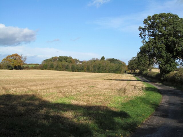
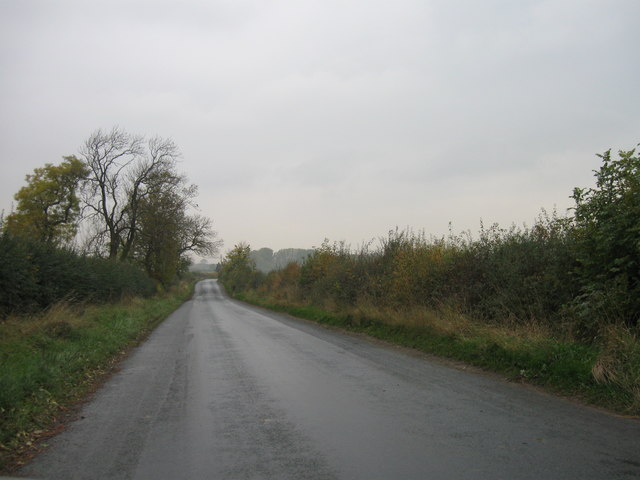
Brickyard Plantations is a picturesque woodland located in Yorkshire, England. Spanning over vast acres of land, this lush forest is a haven for nature enthusiasts and outdoor adventurers alike. The plantation gets its name from the historic brick-making industry that once thrived in the area.
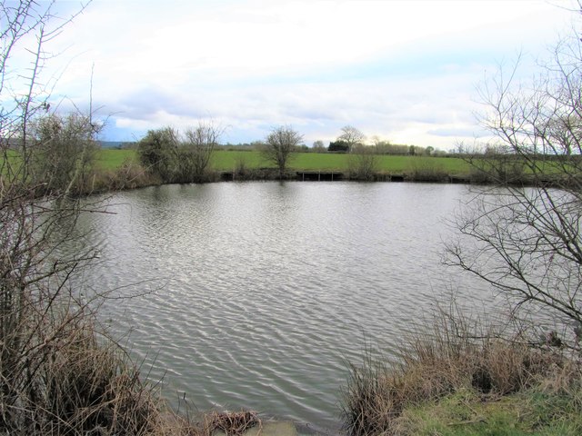
The woodland is characterized by its dense, towering trees, predominantly consisting of oak, ash, and beech. These majestic trees create a serene and tranquil atmosphere, making it a perfect escape from the hustle and bustle of everyday life. The forest floor is adorned with an array of wildflowers, ferns, and mosses, adding to its natural beauty.
Brickyard Plantations offers a myriad of activities for visitors. There are several well-maintained walking trails that wind their way through the forest, catering to all levels of fitness and offering stunning views of the surrounding landscape. Birdwatchers will be delighted by the diverse avian population that calls this woodland home, including woodpeckers, owls, and various songbirds.
For those seeking a more adventurous experience, the plantation also features mountain biking trails that cater to all skill levels. Cyclists can navigate through the forest, enjoying the thrill of the winding paths and the challenge of the uneven terrain.
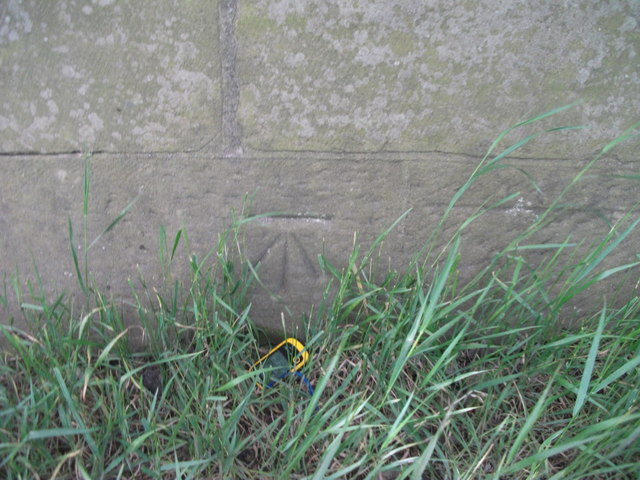
In addition to its natural wonders, Brickyard Plantations also holds historical significance. The remains of old brick kilns can still be seen scattered throughout the forest, a reminder of its industrial past.
Overall, Brickyard Plantations in Yorkshire is a captivating woodland that boasts a harmonious blend of natural beauty, recreational opportunities, and historical charm. It offers a refreshing and enriching experience for all who visit.
If you have any feedback on the listing, please let us know in the comments section below.
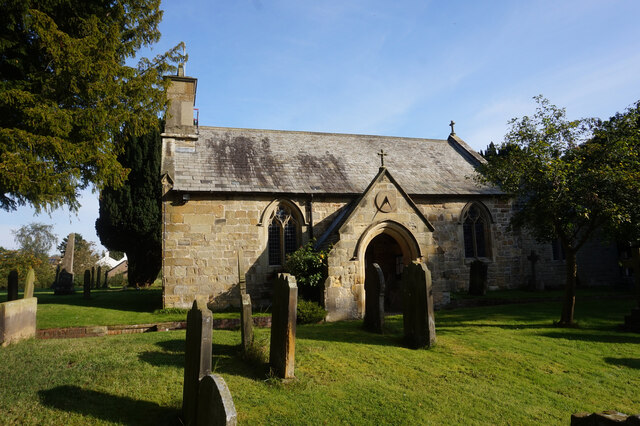
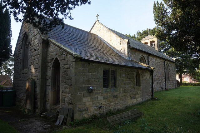
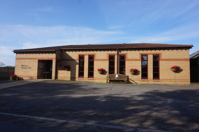
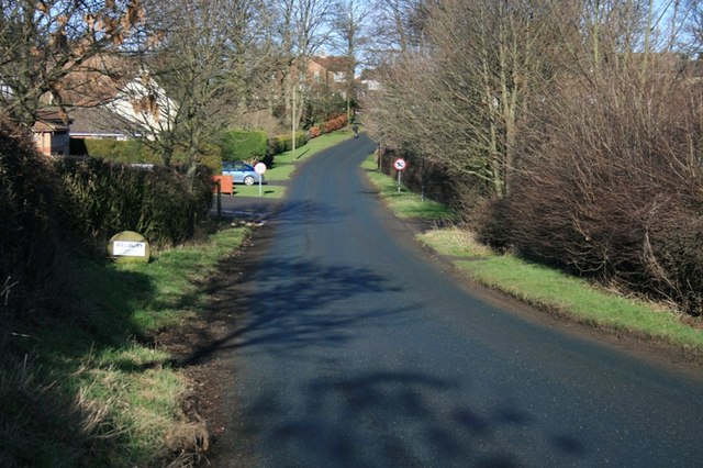
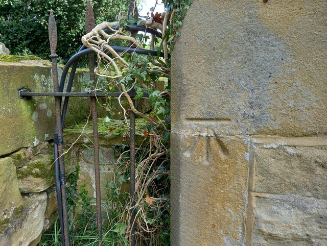
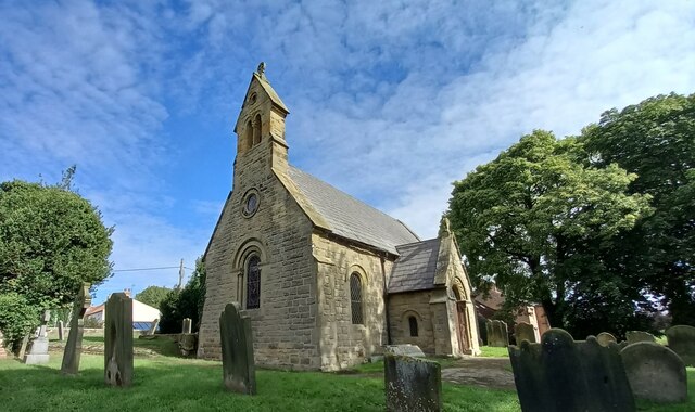
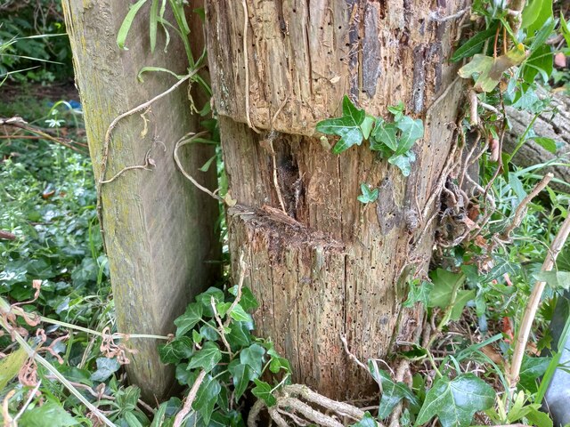
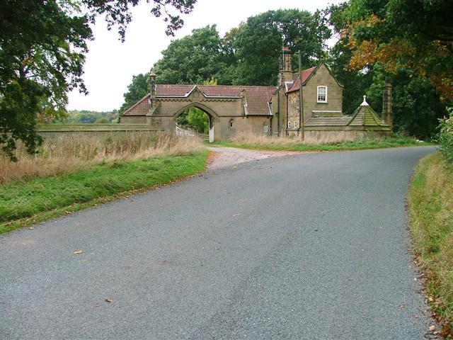
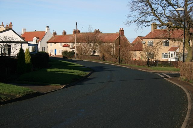
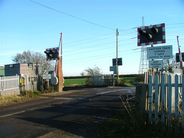
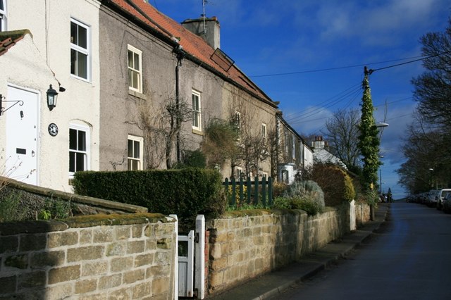
Brickyard Plantations Images
Images are sourced within 2km of 54.412691/-1.3567866 or Grid Reference NZ4102. Thanks to Geograph Open Source API. All images are credited.


Brickyard Plantations is located at Grid Ref: NZ4102 (Lat: 54.412691, Lng: -1.3567866)
Division: North Riding
Administrative County: North Yorkshire
District: Hambleton
Police Authority: North Yorkshire
What 3 Words
///guests.rosier.tiling. Near Brompton, North Yorkshire
Nearby Locations
Related Wikis
East Rounton
East Rounton is a village and civil parish in the Hambleton District of North Yorkshire, England. It is about 1 mile (1.6 km) west of the A19 and 8 miles...

West Rounton
West Rounton is a village and civil parish in North Yorkshire, England. It is 8 miles (13 km) north of Northallerton. East Rounton is about 1-mile (1.6...

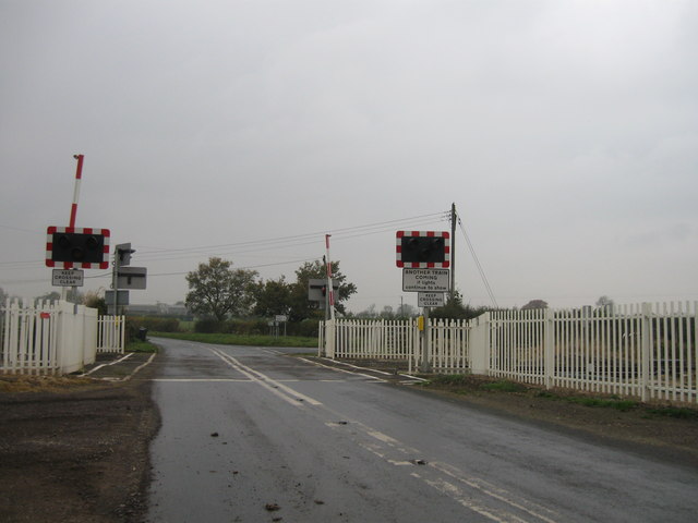
Welbury railway station
Welbury railway station was a railway station serving the village of Welbury in North Yorkshire, England. Located on the Northallerton to Eaglescliffe...
Welbury
Welbury is a village and civil parish in the Hambleton district of North Yorkshire, England. It is about 1 mile (1.6 km) south of Appleton Wiske and 8...
West Rounton Gates railway station
West Rounton Gates railway station, was a railway station between Welbury and Picton railway stations on the Leeds Northern Railway in the Hambleton District...
East Harlsey
East Harlsey is a village and civil parish in the Hambleton District of North Yorkshire, England. It is about 1 mile (2 km) west of Ingleby Arncliffe and...
Ingleby Arncliffe
Ingleby Arncliffe is a village and civil parish in North Yorkshire, England. It is situated between the A172 and A19 roads, 6.5 miles (10.5 km) north-east...

Trenholme Bar railway station
Trenholme Bar railway station was a railway station built to serve the hamlet of Trenholme Bar in North Yorkshire, England. The station was on the North...
Nearby Amenities
Located within 500m of 54.412691,-1.3567866Have you been to Brickyard Plantations?
Leave your review of Brickyard Plantations below (or comments, questions and feedback).